|
Kentucky Route 38
Kentucky Route 38, also known as KY 38, is a state highway in the U.S. state of Kentucky. Part of the State Secondary System, it runs east from U.S. Highway 421 in Harlan east via Brookside, Evarts, Benito, Black Bottom, and Holmes Mill to the Virginia state line. , current as of November 12, 2004 In Virginia, the road continues as secondary State Route 624 to Keokee; State Route 606 and primary State Route 68 provide access from Keokee to the town of Appalachia, Virginia Appalachia is a town in Wise County, Virginia, United States. The population was 1,754 at the 2010 census. History The Appalachia post office was established in 1898. The community was named for the surrounding Appalachian Mountains. The Derby H .... Major intersections References 0038 0038 {{Kentucky-road-stub ... [...More Info...] [...Related Items...] OR: [Wikipedia] [Google] [Baidu] |
Harlan, KY
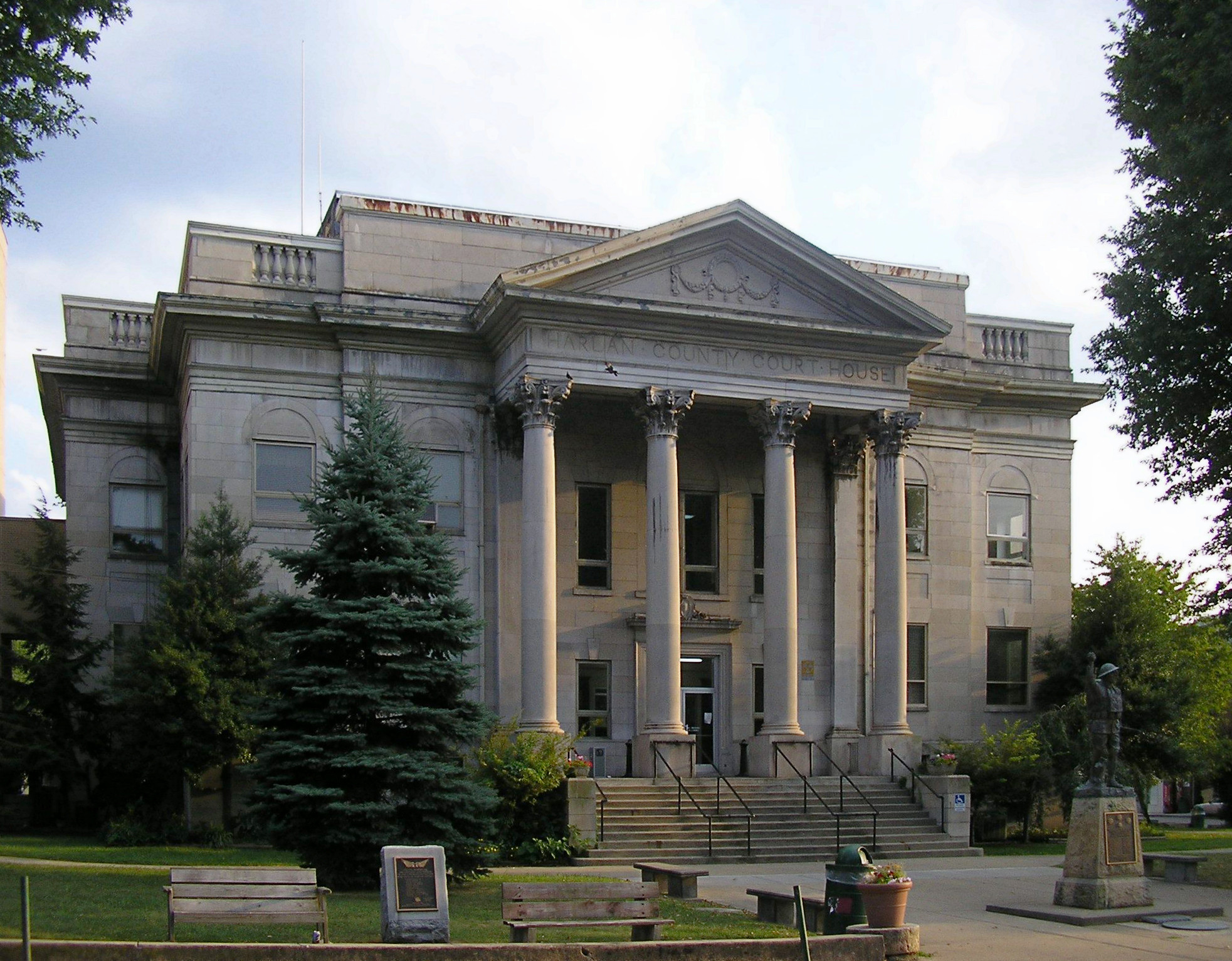
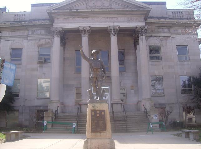
Harlan is a List of cities in Kentucky, home rule-class city in and the county seat of Harlan County, Kentucky, United States. The population was 1,745 at the 2010 United States Census, 2010 census, down from 2,081 at the 2000 census. Harlan is one of three Kentucky county seats to share its name with its county, the others being Greenup, Kentucky, Greenup and Henderson, Kentucky, Henderson. History Harlan was first settled by Samuel and Chloe Howard in 1796. Upon the founding of Harlan County (named for Kentucky pioneer Silas Harlan) in 1819, the Howards donated of land to serve as the county seat.Greene, James III. ''The Kentucky Encyclopedia''p. 408 "Harlan". University Press of Kentucky (Lexington), 1992. Accessed July 30, 2013. The community there was already known as "Mount Pleasant", apparently owing to a nearby Mound Builders#Mound building cultures, Indian mound. A post office was established on September 19, 1828, but called "Harlan Court House" due to Mount Pleasant, ... [...More Info...] [...Related Items...] OR: [Wikipedia] [Google] [Baidu] |
Keokee, VA
Keokee is an unincorporated community and census-designated place (CDP) in Lee County, Virginia, United States. The population was 416 at the 2010 census. History The Keokee post office was established in 1906. Keokee Store No. 1 was listed on the National Register of Historic Places in 2007. Geography Keokee is located in the northeast corner of Lee County at (36.856575, −82.907861). The CDP includes the neighboring unincorporated communities of Darnell Town and Rawhide. It is bordered to the north by the state of Kentucky; the state boundary follows the crest of Little Black Mountain. According to the United States Census Bureau, the CDP has a total area of , of which are land and , or 2.07%, are water. The area drains south toward the North Fork of the Powell River, part of the Tennessee River watershed. Keokee is by road northeast of Pennington Gap, the largest town in Lee County, and west of Big Stone Gap. Virginia Secondary Route 624 leads north to the K ... [...More Info...] [...Related Items...] OR: [Wikipedia] [Google] [Baidu] |
Harlan County, Kentucky
Harlan County is a county located in southeastern Kentucky. As of the 2020 census, the population was 26,831. Its county seat is Harlan. It is classified as a moist countya county in which alcohol sales are prohibited (a dry county), but containing a "wet" city, in this case Cumberland, where package alcohol sales are allowed. In the city of Harlan, restaurants seating 100+ may serve alcoholic beverages. Harlan County is well known in folk and country music, having produced many prominent musicians. During the 20th century, it was often a center of labor strife between coal mine owners and union workers, especially in the Harlan County War of the 1930s. The coal mining industry began to decline in the 1950s. The loss of jobs resulted in a steadily declining population and depressed economy. Harlan became one of the poorest counties in the United States. Kentucky's highest natural point, Black Mountain (), is in Harlan County. History Eastern Kentucky is believed to have sup ... [...More Info...] [...Related Items...] OR: [Wikipedia] [Google] [Baidu] |
State Highway
A state highway, state road, or state route (and the equivalent provincial highway, provincial road, or provincial route) is usually a road that is either ''numbered'' or ''maintained'' by a sub-national state or province. A road numbered by a state or province falls below numbered national highways (Canada being a notable exception to this rule) in the hierarchy (route numbers are used to aid navigation, and may or may not indicate ownership or maintenance). Roads maintained by a state or province include both nationally numbered highways and un-numbered state highways. Depending on the state, "state highway" may be used for one meaning and "state road" or "state route" for the other. In some countries such as New Zealand, the word "state" is used in its sense of a sovereign state or country. By this meaning a state highway is a road maintained and numbered by the national government rather than local authorities. Countries Australia Australia's State Route system covers u ... [...More Info...] [...Related Items...] OR: [Wikipedia] [Google] [Baidu] |
Kentucky
Kentucky ( , ), officially the Commonwealth of Kentucky, is a state in the Southeastern region of the United States and one of the states of the Upper South. It borders Illinois, Indiana, and Ohio to the north; West Virginia and Virginia to the east; Tennessee to the south; and Missouri to the west. Its northern border is defined by the Ohio River. Its capital is Frankfort, and its two largest cities are Louisville and Lexington. Its population was approximately 4.5 million in 2020. Kentucky was admitted into the Union as the 15th state on June 1, 1792, splitting from Virginia in the process. It is known as the "Bluegrass State", a nickname based on Kentucky bluegrass, a species of green grass found in many of its pastures, which has supported the thoroughbred horse industry in the center of the state. Historically, it was known for excellent farming conditions for this reason and the development of large tobacco plantations akin to those in Virginia and North Carolina i ... [...More Info...] [...Related Items...] OR: [Wikipedia] [Google] [Baidu] |
Brookside, Kentucky
Brookside is an unincorporated community and coal town in Harlan County, Kentucky Kentucky ( , ), officially the Commonwealth of Kentucky, is a state in the Southeastern region of the United States and one of the states of the Upper South. It borders Illinois, Indiana, and Ohio to the north; West Virginia and Virginia to ..., United States. A post office called Brookside was established in 1930, and the name was changed to Ages-Brookside in 1975. References Unincorporated communities in Harlan County, Kentucky Unincorporated communities in Kentucky Coal towns in Kentucky {{HarlanCountyKY-geo-stub ... [...More Info...] [...Related Items...] OR: [Wikipedia] [Google] [Baidu] |
Evarts, Kentucky
Evarts is a home rule-class city in Harlan County, Kentucky, in the United States. The post office was opened on February 9, 1855, and named for one of the area's pioneer families. The city was formally incorporated by the state assembly in 1921. The population was 962 at the 2010 census. Geography Evarts is in central Harlan County, in the valley of the Clover Fork of the Cumberland River, where it is joined from the southeast by the valley of Yocum Creek. Kentucky Route 38 (Main Street) follows the Clover Fork, leading northeast (upstream) to the Virginia border near Keokee, and southwest (downstream) to Harlan, the county seat. Kentucky Route 215 runs southeast from Evarts up the Yocum Creek valley through Kenvir to Dizney. According to the United States Census Bureau, Evarts has a total area of , of which , or 4.07%, are water. Demographics As of the census of 2000, there were 1,101 people, 428 households, and 299 families residing in the city. The population ... [...More Info...] [...Related Items...] OR: [Wikipedia] [Google] [Baidu] |
Benito, Kentucky
Benito is an unincorporated community in Harlan County, Kentucky Kentucky ( , ), officially the Commonwealth of Kentucky, is a state in the Southeastern region of the United States and one of the states of the Upper South. It borders Illinois, Indiana, and Ohio to the north; West Virginia and Virginia ..., United States. References Unincorporated communities in Harlan County, Kentucky Unincorporated communities in Kentucky Coal towns in Kentucky {{HarlanCountyKY-geo-stub ... [...More Info...] [...Related Items...] OR: [Wikipedia] [Google] [Baidu] |
Black Bottom, Kentucky
Black Bottom is an unincorporated community in Harlan County, Kentucky, United States. Black Bottom is located along Kentucky Route 38 Kentucky Route 38, also known as KY 38, is a state highway in the U.S. state of Kentucky. Part of the State Secondary System, it runs east from U.S. Highway 421 in Harlan east via Brookside, Evarts, Benito, Black Bottom, and Holmes Mill to t ... east-northeast of Evarts. References Unincorporated communities in Harlan County, Kentucky Unincorporated communities in Kentucky {{HarlanCountyKY-geo-stub ... [...More Info...] [...Related Items...] OR: [Wikipedia] [Google] [Baidu] |
Holmes Mill, Kentucky
Holmes Mill is an unincorporated community in Harlan County, Kentucky Kentucky ( , ), officially the Commonwealth of Kentucky, is a state in the Southeastern region of the United States and one of the states of the Upper South. It borders Illinois, Indiana, and Ohio to the north; West Virginia and Virginia to ..., United States. The population of Holmes Mill is 259 people. References Unincorporated communities in Harlan County, Kentucky Unincorporated communities in Kentucky {{HarlanCountyKY-geo-stub ... [...More Info...] [...Related Items...] OR: [Wikipedia] [Google] [Baidu] |
Virginia
Virginia, officially the Commonwealth of Virginia, is a state in the Mid-Atlantic and Southeastern regions of the United States, between the Atlantic Coast and the Appalachian Mountains. The geography and climate of the Commonwealth are shaped by the Blue Ridge Mountains and the Chesapeake Bay, which provide habitat for much of its flora and fauna. The capital of the Commonwealth is Richmond; Virginia Beach is the most-populous city, and Fairfax County is the most-populous political subdivision. The Commonwealth's population was over 8.65million, with 36% of them living in the Baltimore–Washington metropolitan area. The area's history begins with several indigenous groups, including the Powhatan. In 1607, the London Company established the Colony of Virginia as the first permanent English colony in the New World. Virginia's state nickname, the Old Dominion, is a reference to this status. Slave labor and land acquired from displaced native tribes fueled the ... [...More Info...] [...Related Items...] OR: [Wikipedia] [Google] [Baidu] |
State Route 624 (Lee County, Virginia)
*
*
{{Road index, 624 ...
The following highways are numbered 624: Costa Rica * National Route 624 United States * Pennsylvania Route 624 Pennsylvania Route 624 (PA 624) is a north–south state route located in southern central Pennsylvania. Its southern terminus is at Pennsylvania Route 24, PA 24 in Red Lion, York County, Pennsylvania, Red Lion. The northern terminus is at Pen ... [...More Info...] [...Related Items...] OR: [Wikipedia] [Google] [Baidu] |


