|
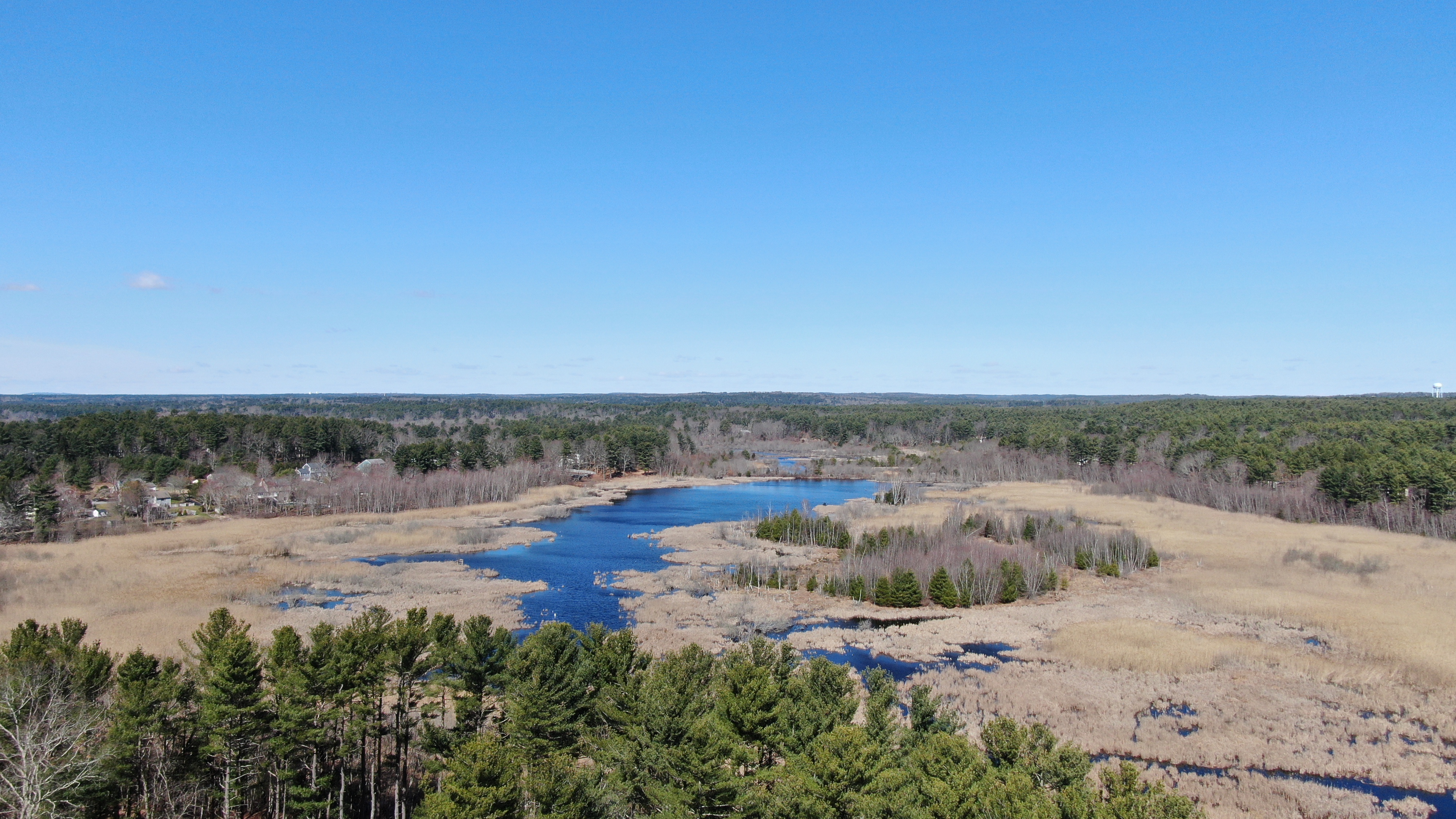
Keene Pond
Keene Pond is a pond in Duxbury, Massachusetts Duxbury (alternative older spelling: "Duxborough") is a historic seaside town in Plymouth County, Massachusetts, Plymouth County, Massachusetts, United States. A suburb located on the South Shore (Massachusetts), South Shore approximately to t ... in the Ashdod section of the town. The pond is located east of Stump Pond. Keene Brook, a tributary of the South River, flows through the pond. Camp Wing, a summer camp for children age 7–16 run by Crossroads for Kids, Inc., is located on the eastern shore of the pond. External linksEnvironmental Protection Agency [...More Info...] [...Related Items...] OR: [Wikipedia] [Google] [Baidu] |
Duxbury, Massachusetts
Duxbury (alternative older spelling: "Duxborough") is a historic seaside town in Plymouth County, Massachusetts, Plymouth County, Massachusetts, United States. A suburb located on the South Shore (Massachusetts), South Shore approximately to the southeast of Boston, the population was 16,090 at the 2020 census. Geographic and demographic information on the specific parts of the town of Duxbury is available in the articles Duxbury (CDP), Massachusetts, Duxbury (CDP), Green Harbor, Massachusetts, Green Harbor, and South Duxbury, Massachusetts, South Duxbury. History The area now known as Duxbury was inhabited by people as early as 12,000 to 9,000 BCE. By the time European settlers arrived here, the region was inhabited by the Wampanoag (tribe), Wampanoags, who called this place Mattakeesett, meaning "place of many fish." [...More Info...] [...Related Items...] OR: [Wikipedia] [Google] [Baidu] |
Stump Pond (Pembroke, Massachusetts)
Stump Pond, also known as Reservoir MA 94127, was a reservoir in Pembroke, Massachusetts in the East Pembroke section of the town, east of the northern end of the Routes Massachusetts Route 14, 14 and Massachusetts Route 53, 53, west of Keene Pond and southwest of Arnold School Pond. Today, the area is part of the Burrage Pond Wildlife Management Area. History Stump Pond formed when Stump Brook—also known as Herring Brook or Swan Lake—was dammed for Hydropower, water power. Stump Brook is part of both the part of the Satucket and Taunton River Watersheds of North America, watersheds. Before the dam, it was connected to Monponsett Pond. It was last sold to the city of Pembroke by the "Cranberry Conservation Corps" in April 2012 for $1.3 million as part of a larger, 268.49 acre piece of land.Address: 0 PLEASANT STREET Parcel ID: F12-16 Old Parcel ID: F12-17,18,--E12-38,46 NBC: D LUC: 930 Legal reference for the sale: 41255-60 - https://www.mapsonline.net/pembrokema/inde ... [...More Info...] [...Related Items...] OR: [Wikipedia] [Google] [Baidu] |
Ponds Of Plymouth County, Massachusetts
A pond is an area filled with water, either natural or artificial, that is smaller than a lake. Defining them to be less than in area, less than deep, and with less than 30% emergent vegetation helps in distinguishing their ecology from that of lakes and wetlands.Clegg, J. (1986). Observer's Book of Pond Life. Frederick Warne, London Ponds can be created by a wide variety of natural processes (e.g. on floodplains as cutoff river channels, by glacial processes, by peatland formation, in coastal dune systems, by beavers), or they can simply be isolated depressions (such as a kettle hole, vernal pool, prairie pothole, or simply natural undulations in undrained land) filled by runoff, groundwater, or precipitation, or all three of these. They can be further divided into four zones: vegetation zone, open water, bottom mud and surface film. The size and depth of ponds often varies greatly with the time of year; many ponds are produced by spring flooding from rivers. Ponds may be ... [...More Info...] [...Related Items...] OR: [Wikipedia] [Google] [Baidu] |

