|
Duxbury, Massachusetts
Duxbury (alternative older spelling: "Duxborough") is a historic seaside town in Plymouth County, Massachusetts, United States. A suburb located on the South Shore approximately to the southeast of Boston, the population was 16,090 at the 2020 census. Geographic and demographic information on the specific parts of the town of Duxbury is available in the articles Duxbury (CDP), Green Harbor, and South Duxbury. History The area now known as Duxbury was inhabited by people as early as 12,000 to 9,000 BCE. By the time European settlers arrived here, the region was inhabited by the Wampanoags, who called this place Mattakeesett, meaning "place of many fish."''Duxbury in Brief: A Historical Sketch'' , duxburyhistory.org; accessed May 24, 2017. In 1620, |
New England Town
The town is the basic unit of Local government in the United States, local government and local division of state authority in the six New England states. Most other U.S. states lack a direct counterpart to the New England town. New England towns overlay the entire area of a state, similar to civil townships in other states where they exist, but they are fully functioning Incorporation (municipal government), municipal corporations, possessing powers similar to city, cities in other states. New Jersey's Local government in New Jersey, system of equally powerful townships, boroughs, towns, and cities is the system which is most similar to that of New England. New England towns are often governed by a town meeting legislative body. The great majority of municipal corporations in New England are based on the town model; there, statutory forms based on the concept of a Place (United States Census Bureau), compact populated place are uncommon, though elsewhere in the U.S. they are preva ... [...More Info...] [...Related Items...] OR: [Wikipedia] [Google] [Baidu] |
South Duxbury, Massachusetts
South Duxbury is a census-designated place (CDP) in the town of Duxbury in Plymouth County, Massachusetts, United States. The population was 3,360 at the 2010 census. Geography South Duxbury is located at (42.020223, -70.695338). According to the United States Census Bureau, the CDP has a total area of 11.5 km (4.4 mi), of which 7.7 km (3.0 mi) is land and 3.8 km (1.5 mi) (32.88%) is water. Demographics As of the census of 2000, there were 3,062 people, 1,099 households, and 864 families residing in the CDP. The population density was 396.7/km (1,027.0/mi). There were 1,226 housing units at an average density of 158.8/km (411.2/mi). The racial makeup of the CDP was 97.98% White, 0.26% African American, 0.23% Native American, 0.65% Asian, 0.07% from other races, and 0.82% from two or more races. Hispanic or Latino of any race were 0.78% of the population. There were 1,099 households, out of which 41.9% had children under the age of 18 living ... [...More Info...] [...Related Items...] OR: [Wikipedia] [Google] [Baidu] |
Pembroke, Massachusetts
Pembroke is a small historic town in Plymouth County, Massachusetts, United States. Pembroke is a South Shore suburb of the Boston metropolitan area. The town is located about halfway between Boston and Cape Cod. The town is considered rural with pockets of suburban neighborhoods. The median household income was $119,827 at the 2020 census . The population was 18,361 at the 2020 census. Different sections of the town include Bryantville (along the Hanson town line), North Pembroke and East Pembroke. History The earliest European settlers were Robert Barker and Dolor Davis, who settled in the vicinity of Herring Brook in 1650. It has been said that the Barkers were about to go down the Indian Head River, at "The Crotch" of the North River in modern day Pembroke/Hanover. However, the Barkers went down the Herring Run to the South, thus landing on Pembroke land. For thousands of year until that time, the Wampanoag and the Massachusett were sustained by this land, fishing and ... [...More Info...] [...Related Items...] OR: [Wikipedia] [Google] [Baidu] |
John Alden House
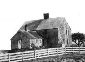
The John and Priscilla Alden Family Sites is a National Historic Landmark consisting of two separate properties in Duxbury, Massachusetts, United States. Both properties are significant for their association with John Alden, one of the settlers of the Plymouth Colony who came to North America on board the ''Mayflower'', and held numerous posts of importance in the colony. Alden and his relationship with Priscilla Mullins were memorialized by Henry Wadsworth Longfellow in ''The Courtship of Miles Standish'', a fictionalized narrative poem that made the story a piece of American folklore. One of the two properties contains the archaeological remains of the house John Alden built c. 1630, and is also significant in the field of historical archaeology as the mature field work of Roland W. Robbins (1908–1987), an early historical archaeologist. It is on land owned by the Town of Duxbury. On the second property stands a house which was traditionally dated to c. 1653 as a work by Alden ... [...More Info...] [...Related Items...] OR: [Wikipedia] [Google] [Baidu] |
Chorley
Chorley is a town and the administrative centre of the wider Borough of Chorley in Lancashire, England, north of Wigan, south west of Blackburn, north west of Bolton, south of Preston and north west of Manchester. The town's wealth came principally from the cotton industry. In the 1970s, the skyline was dominated by factory chimneys, but most have now been demolished: remnants of the industrial past include Morrisons chimney and other mill buildings, and the streets of terraced houses for mill workers. Chorley is the home of the Chorley cake. History Toponymy The name ''Chorley'' comes from two Anglo-Saxon words, and , probably meaning "the peasants' clearing". (also or ) is a common element of place-name, meaning a clearing in a woodland; refers to a person of status similar to a freeman or a yeoman. Prehistory There was no known occupation in Chorley until the Middle Ages, though archaeological evidence has shown that the area around the town has been inhabit ... [...More Info...] [...Related Items...] OR: [Wikipedia] [Google] [Baidu] |
Duxbury Hall
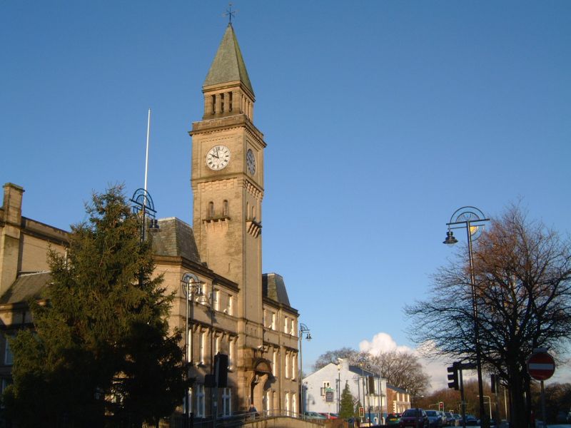
Duxbury Hall was a 19th-century country house in Duxbury Park estate in Duxbury Woods, Lancashire that has been demolished. The hall was a plain two-storey building faced in millstone grit ashlar standing in a well-wooded park 1½ miles (2.5 km) south of Chorley. The entrance on the east front was via a Doric portico. In the cellars was evidence of an earlier building, probably a brick-built house enclosing a courtyard on three sides. The later building followed the same plan, having north and south wings extending westward from the east front. The roof was of green slate History The manor of Duxbury belonged to the Duxbury family before the 1300s but, after Henry Duxbury's involvement in the abortive Banastre Rebellion in 1315 and his subsequent imprisonment in Lancaster Castle, ownership of the Duxbury land transferred to the Standish family around 1335. A Peel Tower was said to have been constructed within the area, during or after The Great Raid of 1322 when Chorley ... [...More Info...] [...Related Items...] OR: [Wikipedia] [Google] [Baidu] |
Myles Standish
Myles Standish (c. 1584 – October 3, 1656) was an English military officer and colonizer. He was hired as military adviser for Plymouth Colony in present-day Massachusetts, United States by the Pilgrims. Standish accompanied the Pilgrims on the ship '' Mayflower'' and played a leading role in the administration and defense of Plymouth Colony from its foundation in 1620.Philbrick, 84. On February 17, 1621, the Plymouth Colony militia elected him as its first commander and continued to re-elect him to that position for the remainder of his life.Philbrick, 88. Standish served at various times as an agent of Plymouth Colony on a return trip to England, as assistant governor of the colony, and as its treasurer. A defining characteristic of Standish's military leadership was his proclivity for preemptive action. He led at least two attacks or small skirmishes against the Native Americans in a raid on the village of Nemasket and a conflict at Wessagusset Colony. During these act ... [...More Info...] [...Related Items...] OR: [Wikipedia] [Google] [Baidu] |
Marshfield, Massachusetts
Marshfield is a town in Plymouth County, Massachusetts, United States, on Massachusetts's South Shore. The population was 25,825 at the 2020 census. It includes the census-designated places (CDPs) of Marshfield, Marshfield Hills, Ocean Bluff-Brant Rock, and Cedar Crest, and shares the Green Harbor CDP with the town of Duxbury. History Geography Marshfield is located on the South Shore, about where Cape Cod Bay meets Massachusetts Bay. According to the United States Census Bureau, the town has a total area of 31.74 square miles (82.2 km), of which 28.46 square miles (73.7 km) is land and 3.28 square miles (8.5 km) (10.33%) is water. Marshfield is bordered by Massachusetts Bay to the east, Duxbury to the south and southeast, Pembroke to the west, Norwell to the northwest, and Scituate to the north and northeast. Marshfield is east of Brockton and southeast of Boston. Marshfield is named for the many salt marshes which border the salt and bra ... [...More Info...] [...Related Items...] OR: [Wikipedia] [Google] [Baidu] |
Farming
Agriculture or farming is the practice of cultivating plants and livestock. Agriculture was the key development in the rise of sedentary human civilization, whereby farming of domesticated species created food surpluses that enabled people to live in cities. The history of agriculture began thousands of years ago. After gathering wild grains beginning at least 105,000 years ago, nascent farmers began to plant them around 11,500 years ago. Sheep, goats, pigs and cattle were domesticated over 10,000 years ago. Plants were independently cultivated in at least 11 regions of the world. Industrial agriculture based on large-scale monoculture in the twentieth century came to dominate agricultural output, though about 2 billion people still depended on subsistence agriculture. The major agricultural products can be broadly grouped into foods, fibers, fuels, and raw materials (such as rubber). Food classes include cereals ( grains), vegetables, fruits, cooking oils, me ... [...More Info...] [...Related Items...] OR: [Wikipedia] [Google] [Baidu] |
London
London is the capital and List of urban areas in the United Kingdom, largest city of England and the United Kingdom, with a population of just under 9 million. It stands on the River Thames in south-east England at the head of a estuary down to the North Sea, and has been a major settlement for two millennia. The City of London, its ancient core and financial centre, was founded by the Roman Empire, Romans as ''Londinium'' and retains its medieval boundaries.See also: Independent city#National capitals, Independent city § National capitals The City of Westminster, to the west of the City of London, has for centuries hosted the national Government of the United Kingdom, government and Parliament of the United Kingdom, parliament. Since the 19th century, the name "London" has also referred to the metropolis around this core, historically split between the Counties of England, counties of Middlesex, Essex, Surrey, Kent, and Hertfordshire, which largely comprises Greater London ... [...More Info...] [...Related Items...] OR: [Wikipedia] [Google] [Baidu] |
Plymouth, Massachusetts
Plymouth (; historically known as Plimouth and Plimoth) is a town in Plymouth County, Massachusetts, United States. Located in Greater Boston, the town holds a place of great prominence in American history, folklore, and culture, and is known as "America's Hometown". Plymouth was the site of the colony founded in 1620 by the '' Mayflower'' Pilgrims, where New England was first established. It is the oldest municipality in New England and one of the oldest in the United States. The town has served as the location of several prominent events, one of the more notable being the First Thanksgiving feast. Plymouth served as the capital of Plymouth Colony from its founding in 1620 until the colony's merger with the Massachusetts Bay Colony in 1691. The English explorer John Smith named the area Plymouth (after the city in South West England) and the region 'New England' during his voyage of 1614 (the accompanying map was published in 1616). It was a later coincidence that, after an a ... [...More Info...] [...Related Items...] OR: [Wikipedia] [Google] [Baidu] |
Pilgrim (Plymouth Colony)
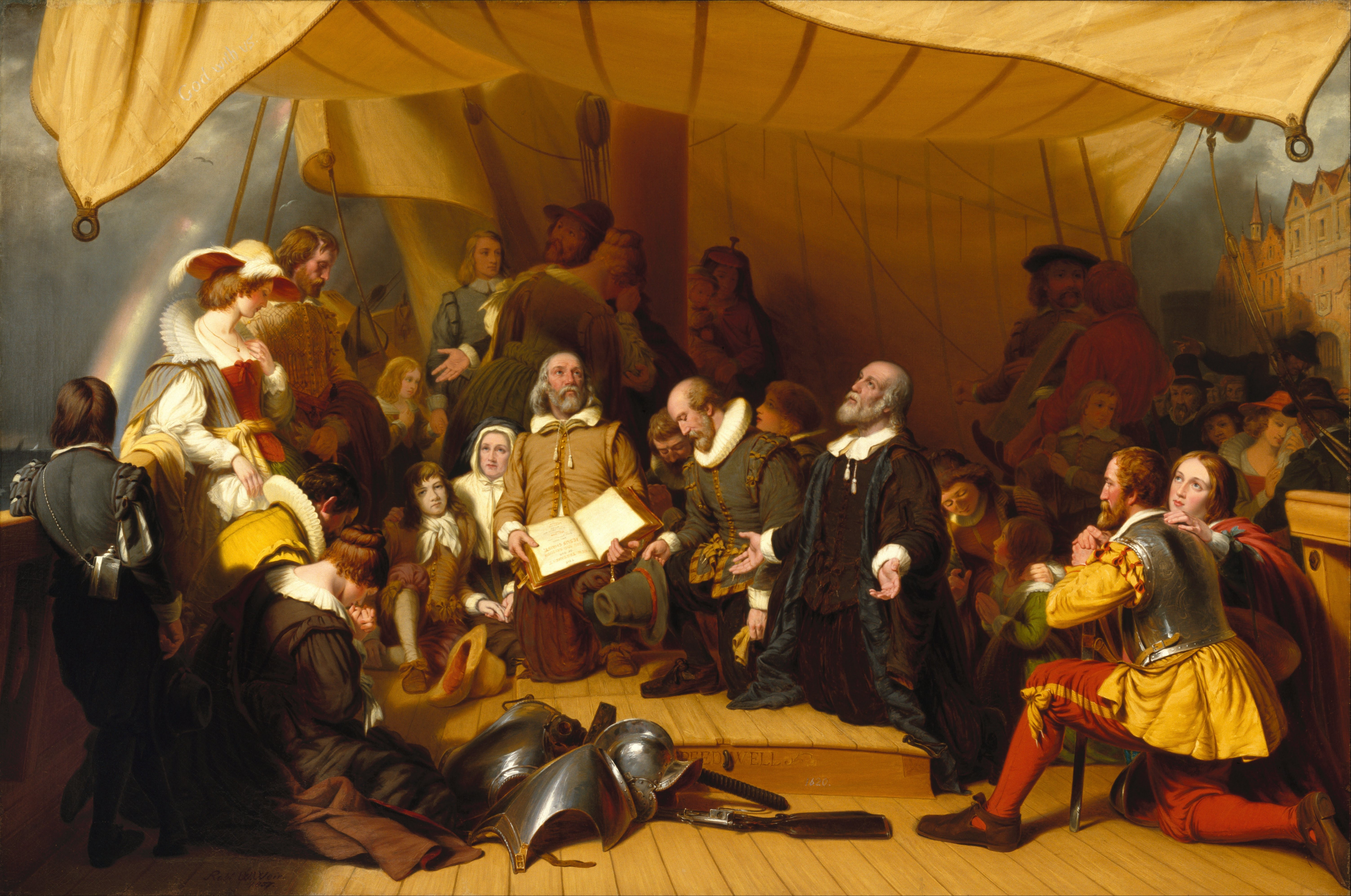
The Pilgrims, also known as the Pilgrim Fathers, were the English settlers who came to North America on the '' Mayflower'' and established the Plymouth Colony in what is today Plymouth, Massachusetts, named after the final departure port of Plymouth, Devon. Their leadership came from the religious congregations of Brownists, or Separatist Puritans, who had fled religious persecution in England for the tolerance of 17th-century Holland in the Netherlands. They held many of the same Puritan Calvinist religious beliefs but, unlike most other Puritans, they maintained that their congregations should separate from the English state church, which led to them being labeled Separatists (the word "Pilgrims" was not used to refer to them until several centuries later). After several years living in exile in Holland, they eventually determined to establish a new settlement in the New World and arranged with investors to fund them. They established Plymouth Colony in 1620, where they erec ... [...More Info...] [...Related Items...] OR: [Wikipedia] [Google] [Baidu] |


.jpg)


