|
Kawaala
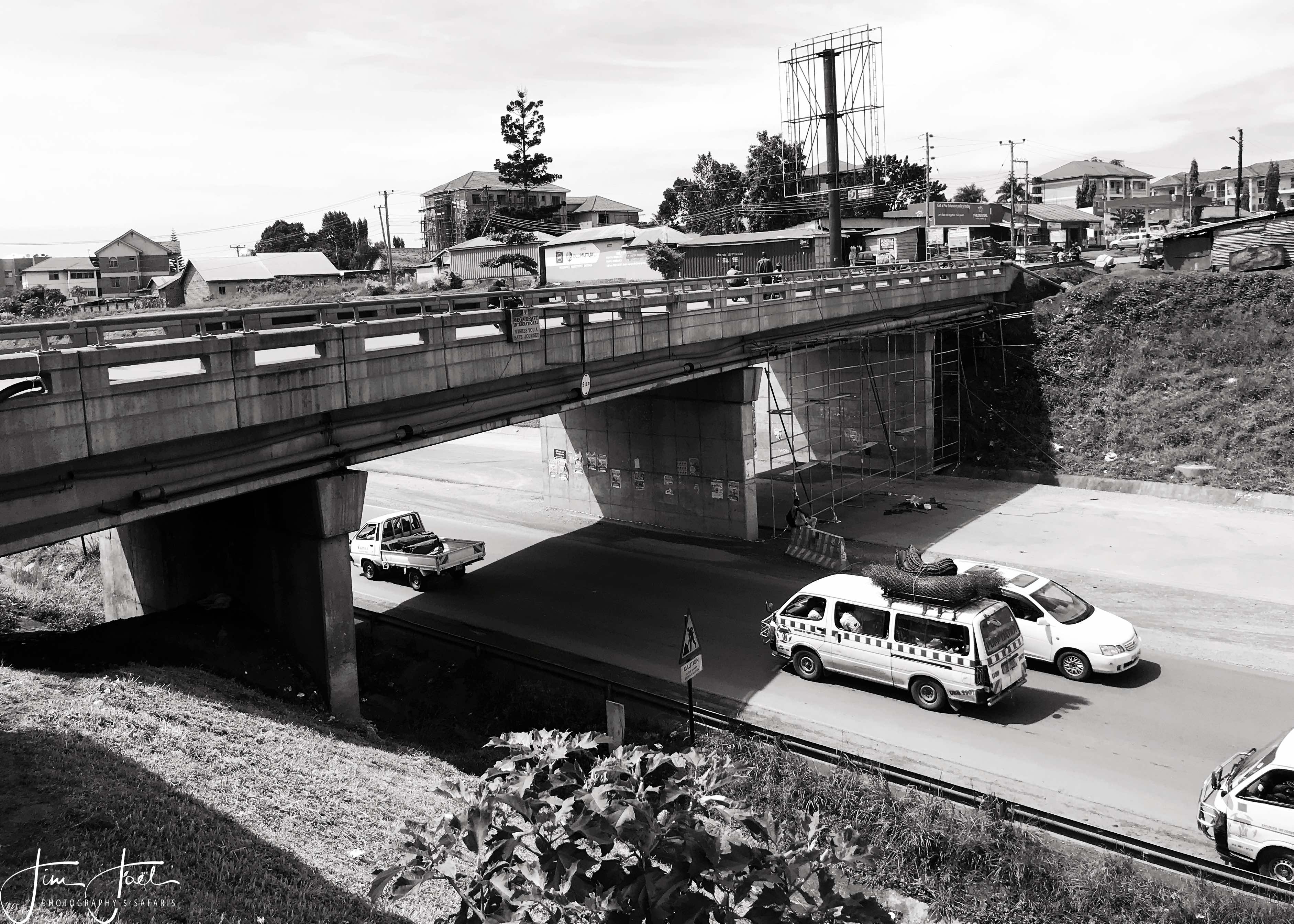
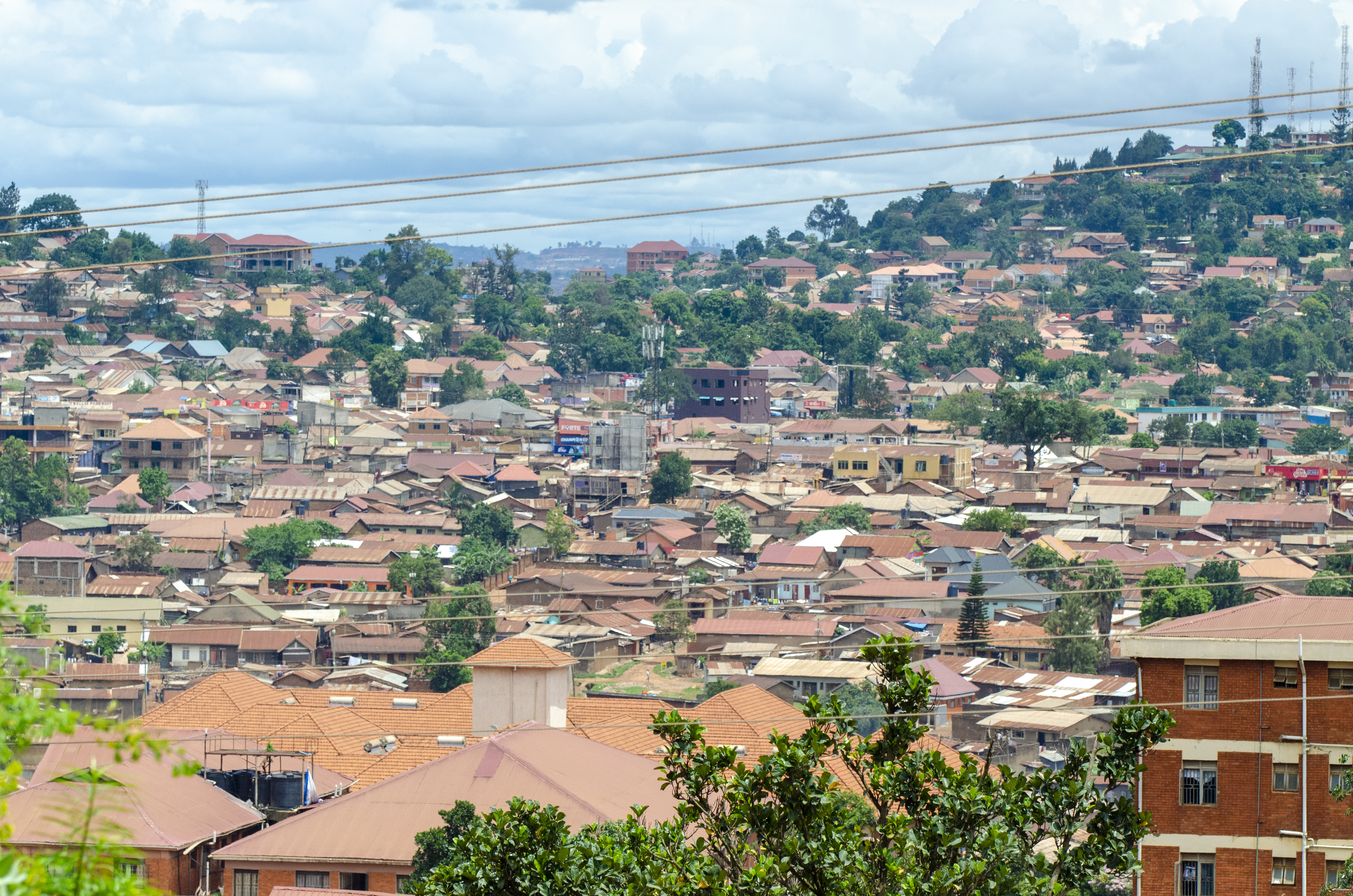
Kawaala is a neighborhood within Kampala, Uganda's capital and largest city. Location Kawaala is bordered by Nabweru to the north, Kazo to the northeast, Makerere to the east, Naakulabye to the south, Kasubi to the southwest, and Namungoona to the west. This is approximately , by road, north of Kampala's central business district. The coordinates of Kawaala are 0°20'24.0"N, 32°33'00.0"E (Latitude:0.3400; Longitude:32.5500). Overview Kawaala is peaceful residential neighborhood, with an occasional middle and high-class residence. The Kampala Northern Bypass Highway passes through Kawaala. Some of the points of interest in the neighborhood include the following: * Good Times Infant School - A private K-P7, mixed day school. * Trinity Family Nursery and Primary School - A private Nursery-P7, mixed day school. * Kawaala Health Center III - A health facility, owned and operated by Kampala Capital City Authority (KCCA). * Glory of Christ Church - A place of worship affiliated ... [...More Info...] [...Related Items...] OR: [Wikipedia] [Google] [Baidu] |
Kampala Northern Bypass Highway
The Kampala Northern Bypass Highway, often referred to as the Northern Bypass, is a road in Uganda. It forms a semicircle across the northern suburbs of Kampala, Uganda's capital and largest city. The road was constructed to relieve traffic congestion within the city center, allowing cross-country traffic to bypass the city's downtown area. Location The bypass stretches from Namboole, approximately to the east of downtown Kampala. The highway winds through the suburbs of Naalya, Kiwaatule, Kulambiro, Kigoowa, Bukoto, Mulago, Makerere, Bwaise, Kawaala, and Namungoona, to end at Busega, approximately west of the city. The highway measures approximately in length. The coordinates of the road at its northernmost point are . Overview The bypass opened to traffic on 1 October 2009. Constructed between 2004 and 2009, the bypass is about long. The project was funded by the European Union and the Uganda government. Expansion In August 2012, Ugandan print media reported tha ... [...More Info...] [...Related Items...] OR: [Wikipedia] [Google] [Baidu] |
Makerere
Makerere ( ) is a neighborhood in the city of Kampala, Uganda's capital city. The name also applies to the hill on which this neighborhood is perched; one of the original seven hills that constituted Kampala at the time of its founding, in the early 1900s. Location Makerere is located in Kawempe Division. It is bordered by Bwaise to the north, Mulago to the east, Wandegeya and Nakasero to the southeast, Old Kampala to the south, Naakulabye to the southwest. Kasubi and Kawaala lie to the west of Makerere. This location lies approximately , by road, north of Kampala's central business district. The coordinates of Makerere are:0° 20' 6.00"N, 32° 34' 12.00"E (Latitude:0.3350; Longitude:32.5700). Overview Makerere Hill is occupied primarily by Makerere University. In the 1970s and 1980s, the university had nine ''Halls of Residence'', six for men and three for women. During the 1990s and early 2000s, as the university intake and student population grew from about 5,000 to over ... [...More Info...] [...Related Items...] OR: [Wikipedia] [Google] [Baidu] |
Lubaga Division
Rubaga Division, also Lubaga Division, is one of the divisions that makes up the city of Kampala, Uganda. The division takes its name from Rubaga, where the division headquarters are located. Location Rubaga Division lies in the western part of the city, bordering Wakiso District to the west and south of the division. The eastern boundary of the division is Kampala Central Division. Kawempe Division lies to the north of Rubaga Division. The coordinates of the division are 00 18N, 32 33E (Latitude:0.3029; Longitude:32.5529). Neighbourhoods in the division include Mutundwe, Nateete, Ndeeba, Kabowa, Najjanankumbi, Lungujja, Busega, Lubaga, Mengo, Namungoona, Lubya, Lugala, Bukesa, Namirembe, Naakulabye, Kasubi, and Kawaala. Points of interest The following points of interest are located in Rubaga Division: * Saint Mary's Cathedral Rubaga * Residence of the Cardinal of Kampala * Residence of the Archbishop of Kampala Archdiocese * Lubaga Hospital - A 274-bed community hospita ... [...More Info...] [...Related Items...] OR: [Wikipedia] [Google] [Baidu] |
Namungoona
Namungoona is a neighborhood within Kampala, Uganda's capital and largest city. Location Namungoona is bordered by unincorporated Wakiso District to the west, northwest and to the north, the Kampala–Hoima Road and Kawaala to the east, Kasubi to the southeast, Lubya and Lusaze to the south and Busega to the southwest. This location is approximately , by road, northwest of the downtown area of Kampala. The coordinates of Namungoona are:0°19'59.0"N, 32°32'03.0"E (Latitude:0.333050; Longitude:32.534175). Demographics Namungoona is primarily a middle-income residential neighborhood, including high-rise apartment complexes and semi-detached family housing., with middle-class single-family residences interspersed between the apartment towers. Transport and facilities The Kampala Northern Bypass Highway passes through Namungoona. Also located in this area is the headquarters of the Uganda Orthodox Church, together with a hospital and two schools. Points of interest The fo ... [...More Info...] [...Related Items...] OR: [Wikipedia] [Google] [Baidu] |
Naakulabye
Naakulabye, also Nakulabye, is a neighborhood within the city of Kampala, the capital and largest city in Uganda. Location Naakulabye is located in Lubaga Division, in northwestern Kampala. It is bordered by Makerere Kikoni to the north, Makerere University Main Campus to the northeast and east, Old Kampala to the southeast, Namirembe Hill to the south, Lusaze to the west and Kasubi to the northwest. This location is approximately , by road, north of Kampala's central business district. The coordinates of Naakulabye are:0°19'30.0"N, 32°33'36.0"E (Latitude:0.3250; Longitude:32.5600). Overview Naakulabye is a working-class neighborhood, centered on the confluence of the Kampala–Hoima Road Southbound, Kampala–Hoima Road Northbound, Makerere Hill Road and Balintuma Road. There is a busy farmers market, numerous shops, bars and restaurants. Near the main roads, there are decent buildings. including several high-rise student hostels. As one ventures deeper into the neighborh ... [...More Info...] [...Related Items...] OR: [Wikipedia] [Google] [Baidu] |
The Observer (Uganda)
''The Weekly Observer'' is a Ugandan weekly newspaper headquartered in Kamwookya, Kampala. It is one of the largest privately owned papers in the country co-founded by maverick journalist John Kevin Aliro and nine other directors In 2007, its reporter Richard M Kavuma won the CNN Multichoice African Journalist of the Year award. The newspaper was founded in 2004 and celebrated 10 years of existence in March 2014.Pius Muteekani KatunziUganda: The Observer, A Gamble That Has Paid Off''AllAfrica.com'' 28 March 2014. Retrieved 22 February 2013. Tom kiss of jamila See also * List of newspapers in Uganda This is a list of newspapers in Uganda. List of newspapers See also * Media in Uganda * List of newspapers in Africa * Communications in Uganda References Bibliography * * * External links * {{Africa topic, List of newspapers in ... * Media in Uganda References External links * * ACME https://acme-ug.org/2018/07/04/i-gave-observer-what-i-could-now-its- ... [...More Info...] [...Related Items...] OR: [Wikipedia] [Google] [Baidu] |
Pentecostal Movement
Pentecostalism or classical Pentecostalism is a Protestant Charismatic Christian movement"Spirit and Power: A 10-Country Survey of Pentecostals" The Pew Forum on Religion and Public Life. that emphasizes direct personal experience of through . The term ''Pentecostal'' is derived from |
Kampala Capital City Authority
Kampala Capital City Authority (KCCA) is the legal entity, established by the Ugandan Parliament, that is responsible for the operations of the capital city of Kampala in Uganda. It replaced the Kampala City Council (KCC). Location The headquarters of KCCA are located on Nakasero Hill in the central business district of Kampala. The headquarters are immediately south-west of the Uganda Parliament Building. The main entrance to the KCCA Complex is located on Kimathi Avenue, which comes off of Parliament Avenue. The coordinates of this building are 0° 18' 54.00"N, 32° 35' 9.00"E (Latitude:0.315000; Longitude:32.585832). Overview The affairs of the capital city of Kampala were brought under the direct supervision of the central Ugandan government. The city clerk, formerly the highest financial officer in the city, was replaced by the executive director, who is answerable to the Minister of Kampala Capital City Authority, currently Hajat Minsa Kabanda. The elected mayor became ... [...More Info...] [...Related Items...] OR: [Wikipedia] [Google] [Baidu] |
Google
Google LLC () is an American Multinational corporation, multinational technology company focusing on Search Engine, search engine technology, online advertising, cloud computing, software, computer software, quantum computing, e-commerce, artificial intelligence, and Computer hardware, consumer electronics. It has been referred to as "the most powerful company in the world" and one of the world's List of most valuable brands, most valuable brands due to its market dominance, data collection, and technological advantages in the area of artificial intelligence. Its parent company Alphabet Inc., Alphabet is considered one of the Big Tech, Big Five American information technology companies, alongside Amazon (company), Amazon, Apple Inc., Apple, Meta Platforms, Meta, and Microsoft. Google was founded on September 4, 1998, by Larry Page and Sergey Brin while they were Doctor of Philosophy, PhD students at Stanford University in California. Together they own about 14% of its publicl ... [...More Info...] [...Related Items...] OR: [Wikipedia] [Google] [Baidu] |
Kasubi Tombs
The Kasubi Tombs in Kampala, Uganda, is the site of the burial grounds for four kabakas (kings of Buganda) and other members of the Baganda royal family. As a result, the site remains an important spiritual and political site for the Ganda people, as well as an important example of traditional architecture. It became a UNESCO World Heritage Site in December 2001, when it was described as "one of the most remarkable buildings using purely vegetal materials in the entire region of sub-Saharan Africa". Some of the major buildings there were almost completely destroyed by a fire in March 2010, the cause of which is under investigation. As a result, in July 2010 it was included in the list of World Heritage Sites in Danger. The Buganda Kingdom has vowed to rebuild the tombs of their kings and President Museveni said the national government of Uganda would assist in the restoration of the site. Reconstruction started in 2014, funded by the government of Japan. Tombs The World Heri ... [...More Info...] [...Related Items...] OR: [Wikipedia] [Google] [Baidu] |
Regions Of Uganda
The regions of Uganda are known as Central, Western, Eastern, and Northern. These four regions are in turn divided into districts. There were 56 districts in 2002, which expanded into 111 districts plus one city (Kampala) by 2010. The national government interacts directly with the districts, so regions do not have any definite role in administration. Under British rule before 1962, the regions were functional administrative units and were called provinces, headed by a Provincial Commissioner. The central region is the kingdom of Buganda, which then had a semi-autonomous government headed by the Kabaka (king). The equivalent of the Provincial Commissioner for Buganda was called the Resident.Uganda Protectorate annual report, Government Printer, Entebbe, 1959 At Uganda's 2002 census, the Central region (It is coterminous with the Kingdom of Buganda, one of the ancient African monarchies that are constitutionally recognised in Uganda) contained 27 percent of the country's popu ... [...More Info...] [...Related Items...] OR: [Wikipedia] [Google] [Baidu] |
Central Region, Uganda
The Buganda region is one of the four regions in the country of Uganda. As of Uganda's 2014 census, the region's population was . It is coterminous with the Kingdom of Buganda, one of the ancient African monarchies that are constitutionally recognised in Uganda. Districts , the Central region contains 24 districts A district is a type of administrative division that, in some countries, is managed by the local government. Across the world, areas known as "districts" vary greatly in size, spanning regions or counties, several municipalities, subdivisions o ...: References External links Google Map of the Central Region of Uganda {{Authority control Regions of Uganda ... [...More Info...] [...Related Items...] OR: [Wikipedia] [Google] [Baidu] |


