|
Karnali Highway
Karnali Highway ( ne, कर्णाली राजमार्ग, also referred to as H13) is a highway, and is a vital transport link between two regions in Nepal. This highway links the towns of Jumla with the Karnali capital Birendranagar and rest parts of Surkhet district. Karnali Province is the largest, remotest and the least developed province in Nepal. Of its length, were blacktopped in 2010, previously the unfinished highway journey was featured in a documentary ''The Karnali Express: Bumping on for 52 Hours'' Due to heavy monsoon rains in 2010, the Karnali Highway was closed due to landslides from heavy monsoon rains, crops were destroyed by incessant rain, and 1/3 of the entire country was inaccessible except by foot. It was finally reopened October 3, three months later, but not until after starvation deaths. According to “A Value Chain Analysis of Apple from Jumla”, and the intervention strategy indicates that more than 85 percent of the Karnali hi ... [...More Info...] [...Related Items...] OR: [Wikipedia] [Google] [Baidu] |
Chandannath
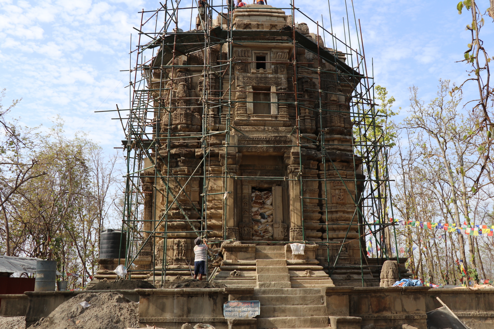
Chandannath is a municipality in Jumla District in the Karnali Province of Nepal. The municipality was established on 18 May 2014 by merging the existing Mahat Gaun, Talium, Kartik Swami ( Jumla), and Chandannath village development committees (VDCs). At the time of the 1991 Nepal census it had a population of 5,842 persons living in 1,000 individual households. Politics and Leadership Kantika Sejuwal of Nepali Congress is the first elected mayor of Chandannath Municipality in Karnali Province, polling 2,777 votes against 2066 by her nearest rival from CPN Maoist Center. Sejuwal is also the only woman elected mayor in the province with its 25 municipalities, apart from 54 rural municipalities. Twin towns – sister cities * Kathmandu , pushpin_map = Nepal Bagmati Province#Nepal#Asia , coordinates = , subdivision_type = Country , subdivision_name = , subdivision_type1 = Province , subdivision_name1 = Bagmati ... [...More Info...] [...Related Items...] OR: [Wikipedia] [Google] [Baidu] |
Nepal
Nepal (; ne, नेपाल ), formerly the Federal Democratic Republic of Nepal ( ne, सङ्घीय लोकतान्त्रिक गणतन्त्र नेपाल ), is a landlocked country in South Asia. It is mainly situated in the Himalayas, but also includes parts of the Indo-Gangetic Plain, bordering the Tibet Autonomous Region of China to the north, and India in the south, east, and west, while it is narrowly separated from Bangladesh by the Siliguri Corridor, and from Bhutan by the Indian state of Sikkim. Nepal has a diverse geography, including fertile plains, subalpine forested hills, and eight of the world's ten tallest mountains, including Mount Everest, the highest point on Earth. Nepal is a multi-ethnic, multi-lingual, multi-religious and multi-cultural state, with Nepali as the official language. Kathmandu is the nation's capital and the largest city. The name "Nepal" is first recorded in texts from the Vedic period of the India ... [...More Info...] [...Related Items...] OR: [Wikipedia] [Google] [Baidu] |
Birendranagar
Birendranagar ( ne, वीरेन्द्रनगर) officially Birendranagar Municipality is a city in Surkhet District in Karnali Province of Nepal. It is the district headquarter of Surkhet District and also the capital city of Karnali province. As of March 2022, Birendranagar has a population of 154,886 making it the 17th largest city of Nepal. It is the largest city of karnali province and 7th largest in Western Nepal. It is one of the fastest growing cities of Nepal. Birendranagar is the destination of two national highways i.e Ratna Highway and Karnali Highway. It is one of the constituent city of Ratna Highway Metropolitan Areas along with Nepalgunj and Kohalpur. Birendranagar is compromise of panoramic view of Mahabharata and chure ranges and the plain of inner terai . Birendranagar is a major trade center in mid-western Nepal and is considered as the most expensive city to live in Nepal. In February 2018, the city was made the capital of the province of Karnali. ... [...More Info...] [...Related Items...] OR: [Wikipedia] [Google] [Baidu] |
Jumla (town)
Jumla is the centre of Chandannath Municipality in Jumla District of Karnali Province of Nepal. It is located at 2514 metres (8251 feet) elevation. Geography Jumla is one of the 77 districts in the midwestern hills of Nepal. Rice (Oryza sativa L) cultivation in Jumla ranges from 2,400 to 3,050 m altitude, which is the highest elevation in the world. The highest elevation at 3,050 m is Chhumjul of Jumla, a record altitude, where rice is cultivated in Nepal. Jumli Marshi, a Japonica variety of indigenous rice, having cold tolerant gene, is probably cultivated since 1,300 years ago in Jumla in the bank of the Tila river. The Tila Valley as well as the Sinja Khola Valley are covered with paddy fields growing the 'Kali Marshi' rice variety, a unique red rice that is sought after for its special taste. Jumla has a STOL airport, Jumla Airport, and the road network first reached it from Surkhet in May 2007. It is the usual starting point for treks to Rara Lake. Climate Jumla has a h ... [...More Info...] [...Related Items...] OR: [Wikipedia] [Google] [Baidu] |
Surkhet
Surkhet District ( ne, सुर्खेत जिल्ला, ) is a district in Karnali Province of mid-western Nepal. Surkhet is the one of the ten districts of Karnali located about west of the national capital Kathmandu. The district's area is . It had 288,527 population in 2001 and 350,804 in 2011 which male comprised 169,461 and female 181,381. Its district headquarters, Birendranagar, is the capital of Karnali Province. It is serving as a business hub and document center for Karnali province. According to population, development, road links, landforms, climate, many peoples are migrating here. after becoming province capital developmental activities are boosted and are in peak level. all the governmental works are carried here. Birendranagar is beautiful valley surrounded by hills having moderate climate. Geography and Climate Surkhet Valley is one of the Inner Terai Valleys of Nepal. It borders, Achham district of Sudurpashchim, Dailekh and Jajarkot districts to the nor ... [...More Info...] [...Related Items...] OR: [Wikipedia] [Google] [Baidu] |
Monsoon
A monsoon () is traditionally a seasonal reversing wind accompanied by corresponding changes in precipitation but is now used to describe seasonal changes in atmospheric circulation and precipitation associated with annual latitudinal oscillation of the Intertropical Convergence Zone (ITCZ) between its limits to the north and south of the equator. Usually, the term monsoon is used to refer to the rainy phase of a seasonally changing pattern, although technically there is also a dry phase. The term is also sometimes used to describe locally heavy but short-term rains. The major monsoon systems of the world consist of the West African, Asia–Australian, the North American, and South American monsoons. The term was first used in English in British India and neighboring countries to refer to the big seasonal winds blowing from the Bay of Bengal and Arabian Sea in the southwest bringing heavy rainfall to the area. Etymology The etymology of the word monsoon is not wholl ... [...More Info...] [...Related Items...] OR: [Wikipedia] [Google] [Baidu] |
Karnali Highway View '', a novel written by Nepali Buddhi Sagar
*
{{disambiguation, geo ...
Karnali may refer to: Places in Nepal *Karnali Bridge, a bridge over the Karnali River in Nepal *Karnali Highway, a vital transport link in Nepal *Karnali Province, a federal province in Nepal *Karnali River, a river in Nepal and India originating in the Tibetan Plateau *Karnali Zone, a former administrative zone in Nepal Other *Karnali Air, a defunct airline that operated in Nepal See also *''Karnali Blues ''Karnali Blues'' ( ne, कर्नाली ब्लुज) is book written by Buddhi Sagar and published by FinePrint publication, Nepal in 2010. Karnali Blues is a story about a young boy who travels through different phases of his life with ... [...More Info...] [...Related Items...] OR: [Wikipedia] [Google] [Baidu] |
Food Prices
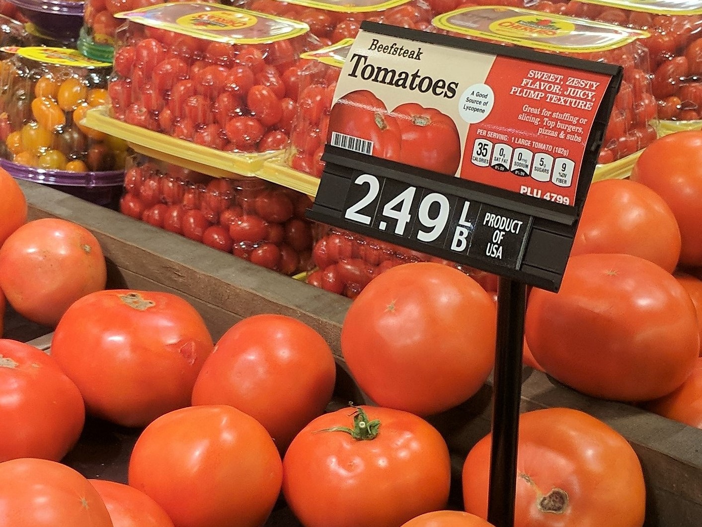
Food prices refer to the average price level for food across countries, regions and on a global scale. Food prices have an impact on producers and consumers of food. Price levels depend on the food production process, including food marketing and food distribution. Fluctuation in food prices is determined by a number of compounding factors. Geopolitical events, global demand, exchange rates, government policy, diseases and crop yield, energy costs, availability of natural resources for agriculture, food speculation, changes in the use of soil and weather events have a direct impact on the increase or decrease of food prices. The consequences of food price fluctuation are multiple. Increases in food prices, or agflation, endangers food security, particularly for developing countries, and can cause social unrest. Increases in food prices is related to disparities in diet quality and health, particularly among vulnerable populations, such as women and children. Food prices will o ... [...More Info...] [...Related Items...] OR: [Wikipedia] [Google] [Baidu] |


