|
Kaibab Formation
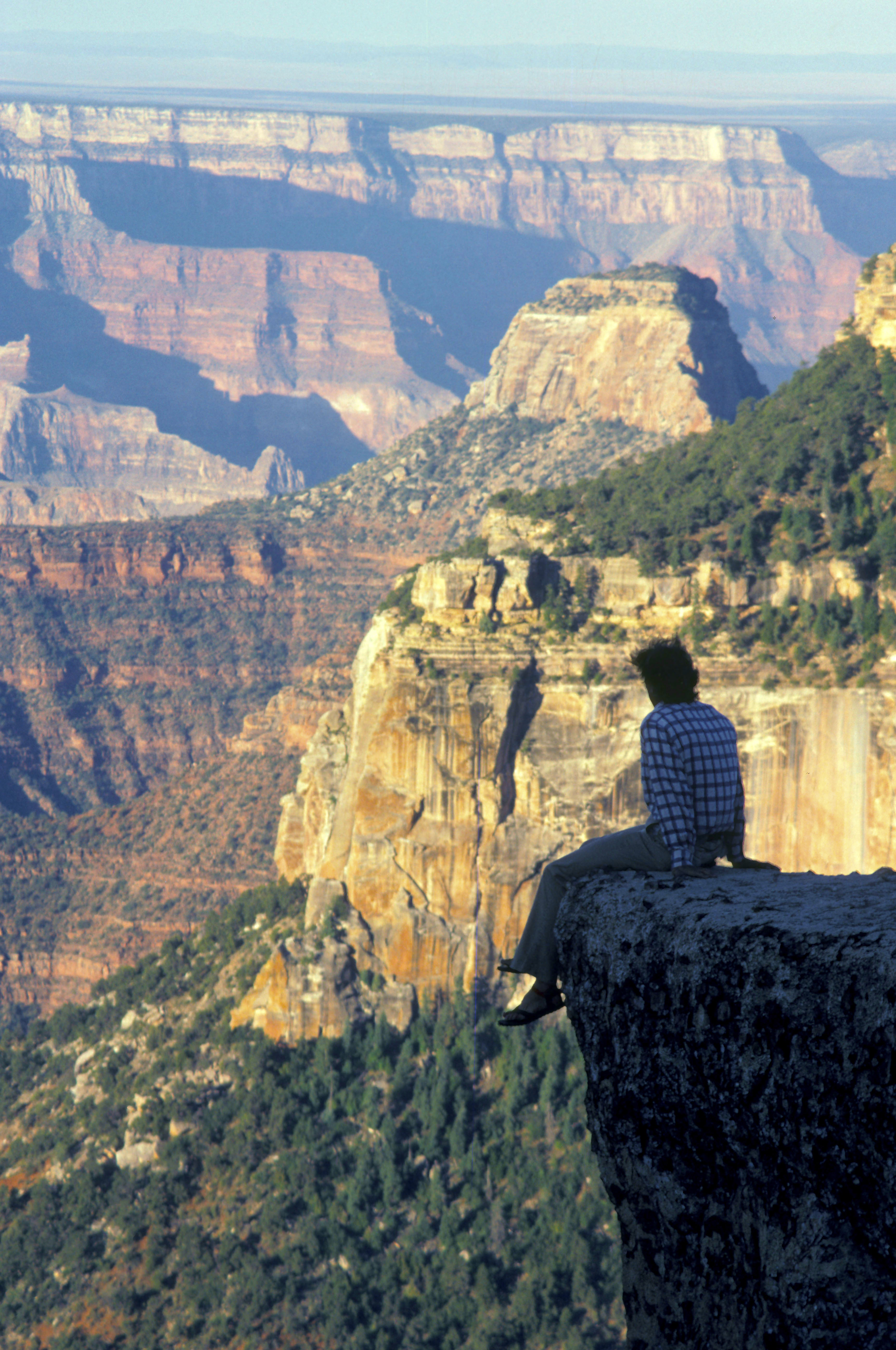
The Kaibab Limestone is a resistant cliff-forming, Permian geologic formation that crops out across the U.S. states of northern Arizona, southern Utah, east central Nevada and southeast California. It is also known as the Kaibab Formation in Arizona, Nevada, and Utah. The Kaibab Limestone forms the rim of the Grand Canyon. In the Big Maria Mountains, California, the Kaibab Limestone is highly metamorphosed and known as the Kaibab Marble. Nomenclature The Kaibab Limestone was named by Darton in 1910 for the Kaibab Plateau, which is on the north side of Grand Canyon in Coconino County, Arizona. In his definition of the Kaibab Limestone formation, no type locality was designated. He also designated the Kaibab Limestone as the upper formation of the Aubrey Group, a now-abandoned stratigraphic unit. In 1921, Bassler and Reeside revised Darton's work and defined the Harrisburg Member of the Kaibab Limestone.Bassler, H., and J. B. Reeside, Jr., 1921, ''Oil prospects in Washingt ... [...More Info...] [...Related Items...] OR: [Wikipedia] [Google] [Baidu] |
Bed (geology)
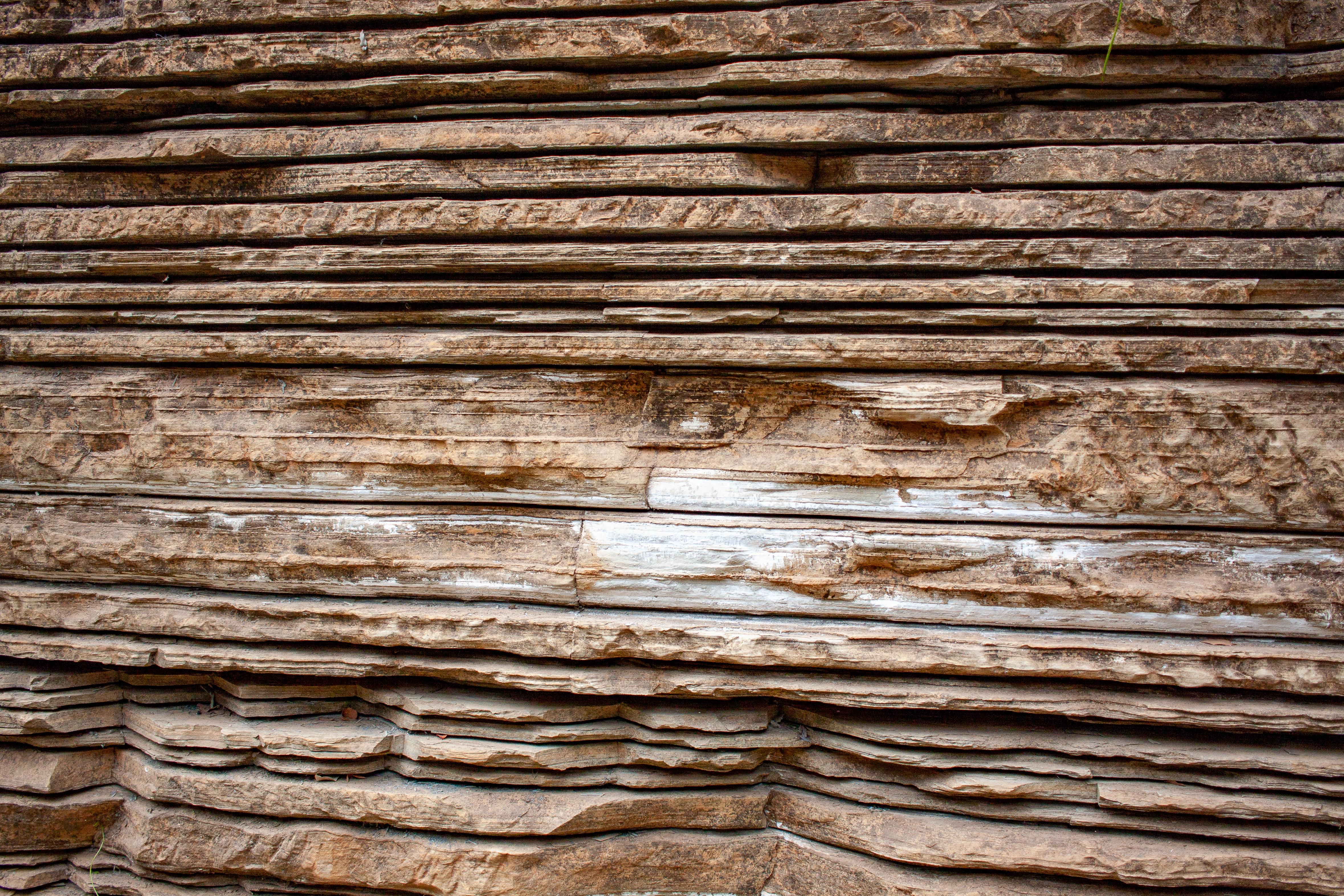
In geology, a bed is a layer of sediment, sedimentary rock, or pyroclastic material "bounded above and below by more or less well-defined bedding surfaces".Neuendorf, K.K.E., J.P. Mehl, Jr., and J.A. Jackson, eds., 2005. ''Glossary of Geology'' (5th ed.). Alexandria, Virginia; American Geological Institute. p 61. Specifically in sedimentology, a bed can be defined in one of two major ways.Davies, N.S., and Shillito, A.P. 2021, ''True substrates: the exceptional resolution and unexceptional preservation of deep time snapshots on bedding surfaces.'' ''Sedimentology.'' published online 22 May 2021, doi: 10.1111/sed.12900. First, Campbell and Reineck and SinghReineck, H.E., and Singh, I.B., 1980. ''Depositional Sedimentary Environments'', (2nd ed.) Berlin, Germany: Springer-Verlag, 504 pp. use the term ''bed'' to refer to a thickness-independent layer comprising a coherent layer of sedimentary rock, sediment, or pyroclastic material bounded above and below by surfaces known as beddi ... [...More Info...] [...Related Items...] OR: [Wikipedia] [Google] [Baidu] |
Nevada
Nevada ( ; ) is a U.S. state, state in the Western United States, Western region of the United States. It is bordered by Oregon to the northwest, Idaho to the northeast, California to the west, Arizona to the southeast, and Utah to the east. Nevada is the List of U.S. states and territories by area, 7th-most extensive, the List of U.S. states and territories by population, 32nd-most populous, and the List of U.S. states and territories by population density, 9th-least densely populated of the U.S. states. Nearly three-quarters of Nevada's people live in Clark County, Nevada, Clark County, which contains the Las Vegas–Paradise, NV MSA, Las Vegas–Paradise metropolitan area, including three of the state's four largest incorporated cities. Nevada's capital is Carson City, Nevada, Carson City. Las Vegas is the largest city in the state. Nevada is officially known as the "Silver State" because of the importance of silver to its history and economy. It is also known as the "Battle ... [...More Info...] [...Related Items...] OR: [Wikipedia] [Google] [Baidu] |
Metamorphic
Metamorphic rocks arise from the transformation of existing rock to new types of rock in a process called metamorphism. The original rock (protolith) is subjected to temperatures greater than and, often, elevated pressure of or more, causing profound physical or chemical changes. During this process, the rock remains mostly in the solid state, but gradually recrystallizes to a new texture or mineral composition. The protolith may be an igneous, sedimentary, or existing metamorphic rock. Metamorphic rocks make up a large part of the Earth's crust and form 12% of the Earth's land surface. They are classified by their protolith, their chemical and mineral makeup, and their texture. They may be formed simply by being deeply buried beneath the Earth's surface, where they are subject to high temperatures and the great pressure of the rock layers above. They can also form from tectonic processes such as continental collisions, which cause horizontal pressure, friction, and distorti ... [...More Info...] [...Related Items...] OR: [Wikipedia] [Google] [Baidu] |
Big Maria Mountains
The Big Maria Mountains are located in the southeastern part of the U.S. state of California, near the Colorado River and Arizona. The range lies between Blythe and Vidal, and west of U.S. Route 95 in California and east of Midland. The mountains are home to the Eagle Nest Mine and reach an elevation of 1,030 meters, (3,379 ft). A power line that runs from Parker Dam to Yuma, Arizona runs through the range. A smaller range, the Little Maria Mountains, lie to the west of the Big Marias. Geology The Big Maria Mountains are one of several ranges that constitute the Maria fold and thrust belt (MFTB). The MFTB underwent generally thick-skinned (involving basement rocks) north–south trending crustal shortening in the Cretaceous. The structures of the MFTB are exposed by to later generally east–west trending large-scale crustal extension in the Miocene, through what is known to geologists as the Colorado River Extensional Corridor This north–south shortening is anomalous ... [...More Info...] [...Related Items...] OR: [Wikipedia] [Google] [Baidu] |
Geologic Formation
A geological formation, or simply formation, is a body of rock having a consistent set of physical characteristics ( lithology) that distinguishes it from adjacent bodies of rock, and which occupies a particular position in the layers of rock exposed in a geographical region (the stratigraphic column). It is the fundamental unit of lithostratigraphy, the study of strata or rock layers. A formation must be large enough that it can be mapped at the surface or traced in the subsurface. Formations are otherwise not defined by the thickness of their rock strata, which can vary widely. They are usually, but not universally, tabular in form. They may consist of a single lithology (rock type), or of alternating beds of two or more lithologies, or even a heterogeneous mixture of lithologies, so long as this distinguishes them from adjacent bodies of rock. The concept of a geologic formation goes back to the beginnings of modern scientific geology. The term was used by Abraham Gottlob Wer ... [...More Info...] [...Related Items...] OR: [Wikipedia] [Google] [Baidu] |
Permian
The Permian ( ) is a geologic period and stratigraphic system which spans 47 million years from the end of the Carboniferous Period million years ago (Mya), to the beginning of the Triassic Period 251.9 Mya. It is the last period of the Paleozoic Era; the following Triassic Period belongs to the Mesozoic Era. The concept of the Permian was introduced in 1841 by geologist Sir Roderick Murchison, who named it after the region of Perm in Russia. The Permian witnessed the diversification of the two groups of amniotes, the synapsids and the sauropsids ( reptiles). The world at the time was dominated by the supercontinent Pangaea, which had formed due to the collision of Euramerica and Gondwana during the Carboniferous. Pangaea was surrounded by the superocean Panthalassa. The Carboniferous rainforest collapse left behind vast regions of desert within the continental interior. Amniotes, which could better cope with these drier conditions, rose to dominance in place of their am ... [...More Info...] [...Related Items...] OR: [Wikipedia] [Google] [Baidu] |
Cliff-former
A cliff-former is a geological unit of bedrock that is more resistant to erosion than overlying or underlying strata and consequently produces outcrops with high slope angles. It is more or less equivalent to ''ridge-former'', and may be contrasted with slope-former. In humid environments, sandstones are typically cliff-formers. In arid environments, limestones are often cliff-formers also. Recent lavas may be cliff-formers as well. In the Ridge-and-Valley Appalachians of the eastern United States the major ridge-formers are the Tuscarora Tuscarora may refer to the following: First nations and Native American people and culture * Tuscarora people **''Federal Power Commission v. Tuscarora Indian Nation'' (1960) * Tuscarora language, an Iroquoian language of the Tuscarora people * ..., Pocono, and Pottsville Formations. References {{geomorph-stub Erosion landforms Geomorphology ... [...More Info...] [...Related Items...] OR: [Wikipedia] [Google] [Baidu] |
Moenkopi Formation
The Moenkopi Formation is a geological formation that is spread across the U.S. states of New Mexico, northern Arizona, Nevada, southeastern California, eastern Utah and western Colorado. This unit is considered to be a group in Arizona. Part of the Colorado Plateau and Basin and Range, this red sandstone was laid down in the Lower Triassic and possibly part of the Middle Triassic, around 240 million years ago. History of investigation There is no designated type locality for this formation. It was named for a development at the mouth of Moencopie Wash in the Grand Canyon area by Ward in 1901. In 1917 a 'substitute' type locality was located by Gregory in the wall of the Little Colorado Canyon, about 5 miles below Tanner Crossing in Coconino County, Arizona. While in the Great Basin, Bassler and Reeside characterized and named the Rock Canyon Conglomerate, Virgin Limestone, and Shnabkaib Shale members in 1921. Salt Creek (later replaced by Wupatki and Moqui Members) and the H ... [...More Info...] [...Related Items...] OR: [Wikipedia] [Google] [Baidu] |
White Rim Sandstone
The White Rim Sandstone is a sandstone geologic formation located in southeastern Utah. It is the last member of the Permian Cutler Group, and overlies the major Organ Rock Formation and Cedar Mesa Sandstone; and again overlies thinner units of the Elephant Canyon Formation, Elephant Canyon and Halgaito Shale, Halgaito Formations. The ''White Rim'' is eponymous, as the sandstone is named for its prominent white color, and forms the rims of cliffs. Geology It is the continental geologic unit, geologic formation deposited at the time of marine transgressions during the Early to Middle Permian Period. ;Toroweap Formation The coeval Toroweap Formation was laid down under marine (ocean), marine conditions along the southwest margin of the North American continent and is found in northwest Arizona layered between Coconino Sandstone and the Kaibab Limestone, Kaibab Formation. The Toroweap is mostly from the Grand Canyon and just eastwards to Lee's Ferry-(Colorado River, Grand Canyon), ... [...More Info...] [...Related Items...] OR: [Wikipedia] [Google] [Baidu] |
Coconino Sandstone
Coconino Sandstone is a geologic formation named after its exposure in Coconino County, Arizona. This formation spreads across the Colorado Plateau province of the United States, including northern Arizona, northwest Colorado, Nevada, and Utah. This rock formation is particularly prominent in the Grand Canyon, where it is visible as a prominent white cliff-forming layer. The thickness of the formation varies due to regional structural features; in the Grand Canyon area it is only thick in the west, thickens to over in the middle and then thins to in the east. Either the Kaibab Limestone or Toroweap Formation overlies the Coconino Sandstone. The Coconino Sandstone is typically buff to white in color. It consists primarily of fine well-sorted quartz grains, with minor amounts of potassium feldspar grains deposited by eolian processes (wind-deposited) approximately 275 million years ago. Several structural features such as ripple marks, sand dune deposits, rain patches, slump ... [...More Info...] [...Related Items...] OR: [Wikipedia] [Google] [Baidu] |
Toroweap Formation
The Middle Permian Toroweap Formation is a thin, darker geologic unit, between the brighter colored units of the Kaibab Limestone above, and Coconino Sandstone below. It is a prominent unit in Grand Canyon, Arizona, USA, found through sections of the South Rim, Grand Canyon, and the North Rim, of the Kaibab Plateau; also the Kaibab's southeast extension to Cape Royal, the Walhalla Plateau. The Colorado River of the Grand Canyon makes its excursion from due-south to due-west around the Walhalla Plateau, as it enters the east end of the Grand Canyon's interior, Granite Gorge. The formation is also found in southeast Utah. The Toroweap Formation is a darker unit of gypsum and shale; also sandstone. In photos the '' cliff-forming'' Kaibab and Coconino units, show the more erodable Toroweap Formation '' slope-forming'' accumulations upon the underlying Coconino Sandstone; likewise below the Coconino, the softer Hermit Formation is shown forming slopes, above the slope forming 're ... [...More Info...] [...Related Items...] OR: [Wikipedia] [Google] [Baidu] |

.png)


