|
John Champe (soldier)
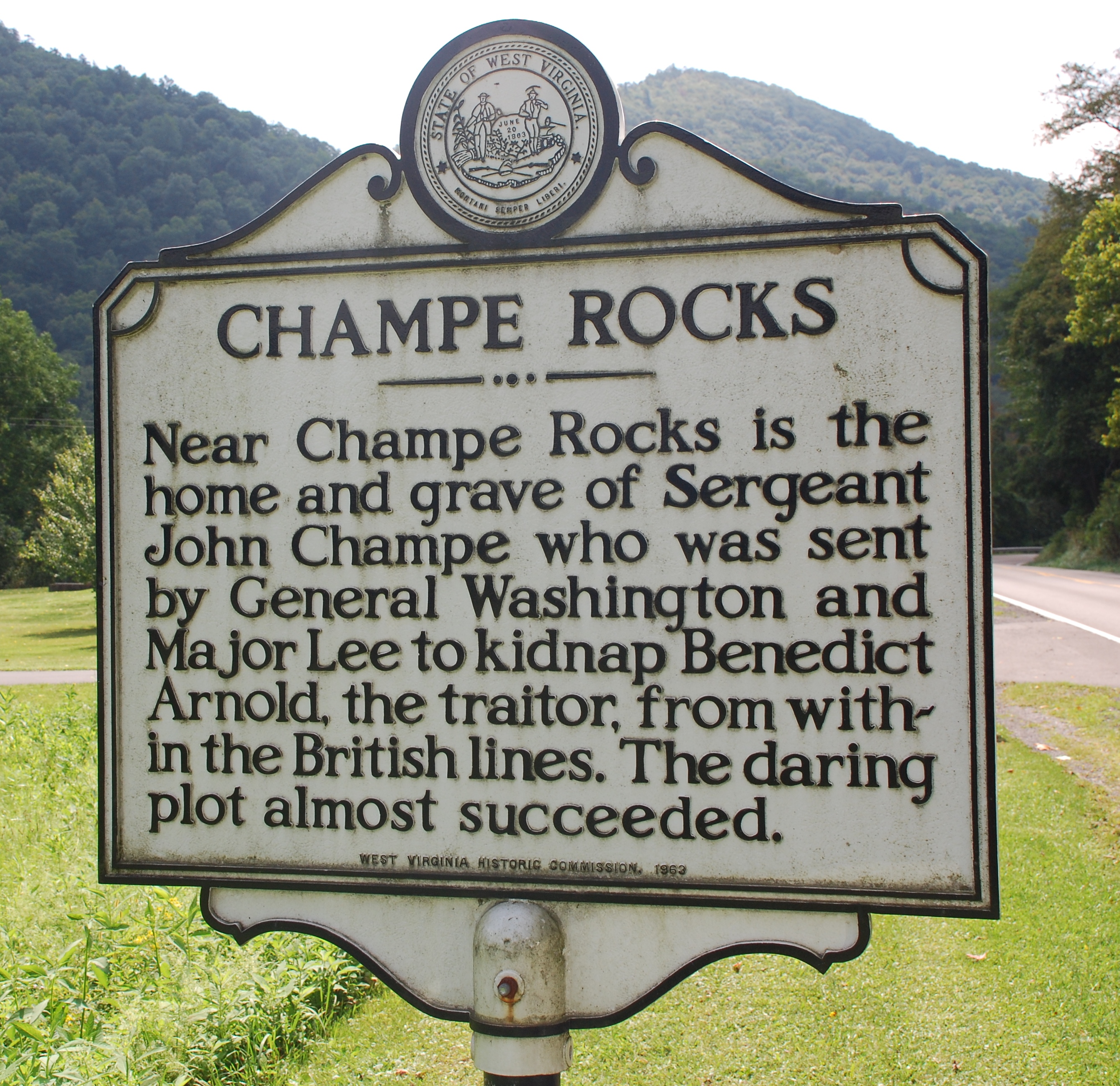
Sergeant Major John Champe (''ca.'' 1752 – 30 September 1798) was an American Revolutionary War senior enlisted soldier in the Continental Army who became a double agent in a failed attempt to capture the American traitor General Benedict Arnold (1741–1801). Biography Champe was born about 1752 near what is now Aldie in Loudoun County, Virginia. Champe enlisted in the Virginia Cavalry from Loudoun County in 1776 and was made sergeant major in Lee's Legion, a unit commanded by (then Major) Henry Lee III, later and better known as Colonel "Light-Horse Harry" Lee (and father of Gen. Robert E. Lee). Champe's family was said to be well known to Major Lee. A plan was formulated to kidnap the defecting General Benedict Arnold and bring him back to American lines to face court martial. A key motivation for the operation was to obtain information as to the possibility of other high-ranking American officers being involved in the treasonous Arnold's activities. Handpicked by Georg ... [...More Info...] [...Related Items...] OR: [Wikipedia] [Google] [Baidu] |
Currier & Ives
Currier and Ives was a New York City printmaking business that operated between 1835 and 1907. Founded by Nathaniel Currier, the company designed and sold inexpensive, hand painted lithographic works based on news events, views of popular culture and Americana. Advertising itself as "the Grand Central Depot for Cheap and Popular Prints," the corporate name was changed in 1857 to "Currier and Ives" with the addition of James Merritt Ives. A perennial bestselling series was the Darktown Comics lithographs. Currier's early history Nathaniel Currier (1813–88) was born in Roxbury, Massachusetts, on March 27, 1813, the second of four children. His parents Nathaniel and Hannah Currier were distant cousins who lived a humble and spartan life. Tragedy struck when Nathaniel was eight years old, when his father unexpectedly died, leaving Nathaniel and his eleven-year-old brother Lorenzo to provide for the family: six-year-old sister Elizabeth and two-year-old brother Charles, as well as ... [...More Info...] [...Related Items...] OR: [Wikipedia] [Google] [Baidu] |
The Notorious Benedict Arnold
''The Notorious Benedict Arnold: A True Story of Adventure, Heroism & Treachery'' is a non-fiction biographical adolescent book about Benedict Arnold. Written in 2010 by Steve Sheinkin, the book encompasses the whole life of Benedict Arnold, from his freezing cold date of birth in Connecticut to his death in England in 1801. It has won the Boston Globe-Horn Book Award for Nonfiction, the Margaret Edwards Award, and the YALSA-ALA Award for Excellence in Young Adult Nonfiction. Background Sheinkin writes in the book that he was long fascinated by Arnold. Over the years, he compiled an "absurdly large collection" of books, plays, and anything to do with Arnold. He even followed Arnold's route to Canada that he took in 1775. Story line The book begins with the hanging of John Andre, before backtracking and telling the story of Arnold's life. The book also occasionally tells the reader what's happening to John Andre. Eventually, the two stories merge into one, when Andre and Arno ... [...More Info...] [...Related Items...] OR: [Wikipedia] [Google] [Baidu] |
Fredericksburg, Virginia
Fredericksburg is an independent city located in the Commonwealth of Virginia. As of the 2020 census, the population was 27,982. The Bureau of Economic Analysis of the United States Department of Commerce combines the city of Fredericksburg with neighboring Spotsylvania County for statistical purposes. Fredericksburg is south of Washington, D.C., and north of Richmond. Located near where the Rappahannock River crosses the Atlantic Seaboard fall line, Fredericksburg was a prominent port in Virginia during the colonial era. During the Civil War, Fredericksburg, located halfway between the capitals of the opposing forces, was the site of the Battle of Fredericksburg and Second Battle of Fredericksburg. These battles are preserved, in part, as the Fredericksburg and Spotsylvania National Military Park. More than 10,000 African-Americans in the region left slavery for freedom in 1862 alone, getting behind Union lines. Tourism is a major part of the economy. Approximately 1.5 mi ... [...More Info...] [...Related Items...] OR: [Wikipedia] [Google] [Baidu] |
Charleston, West Virginia
Charleston is the capital and List of cities in West Virginia, most populous city of West Virginia. Located at the confluence of the Elk River (West Virginia), Elk and Kanawha River, Kanawha rivers, the city had a population of 48,864 at the 2020 United States census, 2020 census and an estimated population of 48,018 in 2021. The Charleston, West Virginia metropolitan area, Charleston metropolitan area as a whole had an estimated 255,020 residents in 2021. Charleston is the center of government, commerce, and industry for Kanawha County, West Virginia, Kanawha County, of which it is the county seat. Early industries important to Charleston included salt and the first natural gas well. Later, coal became central to economic prosperity in the city and the surrounding area. Today, trade, utilities, government, medicine, and education play central roles in the city's economy. The first permanent settlement, Fort Morris, was built in fall 1773 by William Morris (pioneer), William M ... [...More Info...] [...Related Items...] OR: [Wikipedia] [Google] [Baidu] |
Mouth Of Seneca
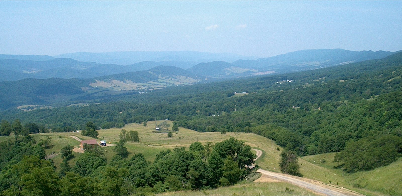
Seneca Rocks is an unincorporated community located in Pendleton County, West Virginia, United States. The community of Seneca Rocks — formerly known as Mouth of Seneca — lies at the junction of US 33, WV 28 and WV 55 near the confluence of Seneca Creek and the North Fork South Branch Potomac River. The community also lies near Seneca Rocks, the crag from which it takes its name. Both lie within the Spruce Knob–Seneca Rocks National Recreation Area of the Monongahela National Forest. Located at Seneca Rocks is the Sites Homestead (c. 1839), now part of the Seneca Rocks Visitor Center and listed on the National Register of Historic Places The National Register of Historic Places (NRHP) is the United States federal government's official list of districts, sites, buildings, structures and objects deemed worthy of preservation for their historical significance or "great artistic v ... in 2004. Located nearby is the Boggs Mill (c. 1830), listed in 2004. References ... [...More Info...] [...Related Items...] OR: [Wikipedia] [Google] [Baidu] |
Pendleton County, West Virginia
Pendleton County is a county located in the U.S. state of West Virginia. As of the 2020 census, the population was 6,143, making it the second-least populous county in West Virginia. Its county seat is Franklin. The county was created by the Virginia General Assembly in 1788 from parts of Augusta, Hardy, and Rockingham Counties and was named for Edmund Pendleton (1721–1803), a distinguished Virginia statesman and jurist. Pendleton County was strongly pro-Confederate during the American Civil War; however, there were pockets of Unionists who supported the state government in Wheeling. Spruce Knob, located in Pendleton County, is the highest point in the state and in the Alleghenies, its elevation being 4,863 feet. Parts of the Monongahela and George Washington National Forests are also located in Pendleton. History By the 1740s, the three main valleys of what became Pendleton County had been visited and named by white hunters and prospectors. One of the hunters, a single ... [...More Info...] [...Related Items...] OR: [Wikipedia] [Google] [Baidu] |
Kentucky
Kentucky ( , ), officially the Commonwealth of Kentucky, is a state in the Southeastern region of the United States and one of the states of the Upper South. It borders Illinois, Indiana, and Ohio to the north; West Virginia and Virginia to the east; Tennessee to the south; and Missouri to the west. Its northern border is defined by the Ohio River. Its capital is Frankfort, and its two largest cities are Louisville and Lexington. Its population was approximately 4.5 million in 2020. Kentucky was admitted into the Union as the 15th state on June 1, 1792, splitting from Virginia in the process. It is known as the "Bluegrass State", a nickname based on Kentucky bluegrass, a species of green grass found in many of its pastures, which has supported the thoroughbred horse industry in the center of the state. Historically, it was known for excellent farming conditions for this reason and the development of large tobacco plantations akin to those in Virginia and North Carolina i ... [...More Info...] [...Related Items...] OR: [Wikipedia] [Google] [Baidu] |
Little River Turnpike
State Route 236 (SR 236) is a primary state highway in the U.S. state of Virginia. The state highway runs from U.S. Route 29 and US 50 in Fairfax east to SR 400 in Alexandria. SR 236 is a major suburban arterial highway that connects the independent cities of Fairfax and Alexandria via Annandale in Fairfax County. The state highway is known as Main Street in City of Fairfax, Little River Turnpike in Fairfax County, where the highway meets Interstate 495 (I-495), and Duke Street in Alexandria, where the road has junctions with I-395 and US 1. Route description SR 236 begins at an intersection with US 29 and US 50 in the western part of the city of Fairfax. US 29 heads west-southwest as Lee Highway toward Centreville, and US 50 heads west-northwest as Lee Jackson Highway toward Chantilly. To the east-northeast, the two U.S. Highways run concurrently as Lee Highway toward Arlington; that highway is also known as Fairfax Boulevard, which was the original bypass of Fairfax. SR ... [...More Info...] [...Related Items...] OR: [Wikipedia] [Google] [Baidu] |
Middleburg, Virginia
Middleburg is a town in Loudoun County, Virginia, United States, with a population of 673 as of the 2010 census. It is the southernmost town along Loudoun County's shared border with Fauquier County. Middleburg is known as the "Nation's Horse and Hunt Capital" for its foxhunting, steeplechases, and large estates. The Middleburg Historic District, comprising the 19th-century center of town, is listed on the National Register of Historic Places. History The town was established in 1787 by American Revolutionary War Lieutenant Colonel and Virginia statesman, Leven Powell. He purchased the land for Middleburg at $2.50 per acre in 1763 from Joseph Chinn, a first cousin of George Washington. It had been called "Chinn's Crossroads", and was then called Powell Town. When Leven Powell declined to have the town named after him, the town was called Middleburgh, and later, simply Middleburg. The village is located midway between the port of Alexandria and Winchester, Virginia, on the As ... [...More Info...] [...Related Items...] OR: [Wikipedia] [Google] [Baidu] |
Dover, Virginia
Dover is an unincorporated community in Loudoun County, Virginia, United States. Dover is located east of Middleburg at the intersection of U.S. Route 50, Champe Ford Road (SR 629 south), and Cobb House Road (SR 629 north). The Little River begins following Route 50 at this point. Dover as a geographical entity is somewhat exaggerated, seeing as the bend in Route 50 it refers to consists of only few houses, but it has a long pedigree as a named area, appearing on state and national maps. Most likely, its status as a geographical entity stems from the fact that the Little River Turnpike (first toll road in America) and Aldie-Ashby's Gap Turnpike terminated approximately together here, 1.3 miles west of Aldie. Historical interest There are four Virginia historical markers at the site, commemorating John Champe, Revolutionary War Hero, and three Civil War markers, including one mentioning the Battle of Aldie. Its two distinguishing features are ''Stoke'' (a prominent house where ... [...More Info...] [...Related Items...] OR: [Wikipedia] [Google] [Baidu] |
Trenton, New Jersey
Trenton is the capital city of the U.S. state of New Jersey and the county seat of Mercer County. It was the capital of the United States from November 1 to December 24, 1784.New Jersey County Map New Jersey Department of State. Accessed July 10, 2017. The city's metropolitan area, including all of Mercer County, is grouped with the New York combined statistical area by the |
Philadelphia
Philadelphia, often called Philly, is the largest city in the Commonwealth of Pennsylvania, the sixth-largest city in the U.S., the second-largest city in both the Northeast megalopolis and Mid-Atlantic regions after New York City. Since 1854, the city has been coextensive with Philadelphia County, the most populous county in Pennsylvania and the urban core of the Delaware Valley, the nation's seventh-largest and one of world's largest metropolitan regions, with 6.245 million residents . The city's population at the 2020 census was 1,603,797, and over 56 million people live within of Philadelphia. Philadelphia was founded in 1682 by William Penn, an English Quaker. The city served as capital of the Pennsylvania Colony during the British colonial era and went on to play a historic and vital role as the central meeting place for the nation's founding fathers whose plans and actions in Philadelphia ultimately inspired the American Revolution and the nation's inde ... [...More Info...] [...Related Items...] OR: [Wikipedia] [Google] [Baidu] |


