|
Jiangong Islet
The Jiangong Islet () (also Jiangong Yu, United States National Geospatial-Intelligence Agency) is a tidal island in Jincheng Township, Kinmen County, Fujian Province, Republic of China (Taiwan). History The islet was originally named Chu Islet. In 1949, the Republic of China Armed Forces occupied the islet and built the Lion Fort, Andutou and Koxinga Shrine Barracks. In 1960, the Ministry of the Interior approved the renaming of the islet to become Jiangong Islet. On 20 October 1997, the Kinmen Defense Command withdrew military personnel from the islet and Kinmen County Government resumed control of it. In 2002, the county government began restoring the area and opened to promote tourism. In September 2016, the islet was damaged by Typhoon Meranti. It was subsequently repaired with a cost of NT$6,410,000. The island was closed for reconstruction starting 20 December 2017. It was then reopened to the public in end of February 2018. From April 22, 2022, live 4k live video on yout ... [...More Info...] [...Related Items...] OR: [Wikipedia] [Google] [Baidu] |
Jincheng, Kinmen
Jincheng Township () is an urban township on the southwestern corner of the island of Kinmen (Quemoy). It is the county seat of Kinmen County, Fujian Province, Republic of China (Taiwan). Jincheng was the seat of the ROC's Fukien Province from 1949–1956 and 1996–2019. In March 2012, it was named one of the ''Top 10 Small Tourist Towns'' by the Tourism Bureau. History Jincheng also served as the capital of Republic of China's Fujian Province from 1949 to 1956. From 1956 to 1996, the capital of Fujian Province was relocated to Xindian, Taipei County, Taiwan Province. In 1996, the capital was moved back to Jincheng. Administrative divisions Jincheng is divided into eight urban villages: * Beimen Village () * Gucheng Village () * Jinshui/Jinshuei Village () * Nanmen Village () * Dongmen/Tungmen Village () * Xianan/Sianan Village () * Ximen Village () * Zhusha/Jhusha Village () ** Zhushan Village (Chushan) Mayors *Appointed mayors # Wang Ping-Yuan () (1954-1955) # Liao Ko-H ... [...More Info...] [...Related Items...] OR: [Wikipedia] [Google] [Baidu] |
Ministry Of The Interior (Taiwan)
The Ministry of the Interior (MOI; ) is a cabinet level policy-making body, governed under the Executive Yuan of the Republic of China (Taiwan). It is the fundamental executive yuan agency responsible for home affairs and security throughout Taiwan, including population, land, construction, military service administration, national emergency services, local administration systems, law enforcement and social welfare (prior to 23 July 2013). Core functions It closely monitors the rights of the residents and every aspect of national development to ensure steady progress of the nation, strengthen social peace and order, and upgrade the quality of citizens' lives. The Ministry strives to achieve the following: # Accomplish government reform to boost government vitality; # Care for the minorities; # Promote a fair military service system; # Implement pragmatic growth management to promote sustainable development; # Reinforce police administration reform; # Strengthen crisis managemen ... [...More Info...] [...Related Items...] OR: [Wikipedia] [Google] [Baidu] |
Islands Of Taiwan
The islands comprising the Taiwan Area under the jurisdiction of the Republic of China (ROC) are classified into various island groups. The island of Taiwan, also known as Formosa, is the largest island and the main component of the ROC-controlled territories. Islands that are claimed by the ROC but not administered, including those under the control of the People's Republic of China, and those disputed with other countries such as Senkaku Islands and most of South China Sea Islands, are excluded from this list. At the adoption of Additional Articles of the Constitution of the Republic of China in the 1990s, these islands collectively form the "Free area of the Republic of China" or known alternatively as "Taiwan Area", which legally defines the territorial extent under the actual control of the ROC government. Some Taiwanese islands have various translations in English due to different systems of romanization in Chinese language in use, or derivation of differing linguisti ... [...More Info...] [...Related Items...] OR: [Wikipedia] [Google] [Baidu] |
List Of Islands Of Taiwan
The islands comprising the Taiwan Area under the jurisdiction of the Taiwan, Republic of China (ROC) are classified into various island groups. The Geography of Taiwan, island of Taiwan, also known as Formosa, is the largest island and the main component of the ROC-controlled territories. Islands that are claimed by the ROC but not administered, including List of islands of China, those under the control of the People's Republic of China, and those disputed with other countries such as Senkaku Islands and most of South China Sea Islands, are excluded from this list. At the adoption of Additional Articles of the Constitution of the Republic of China in the 1990s, these islands collectively form the "Free area of the Republic of China" or known alternatively as "Taiwan Area", which legally defines the territorial extent under the actual control of the ROC government. Some Taiwanese islands have various translations in English due to different systems of Chinese language romanizatio ... [...More Info...] [...Related Items...] OR: [Wikipedia] [Google] [Baidu] |
Ming Dynasty
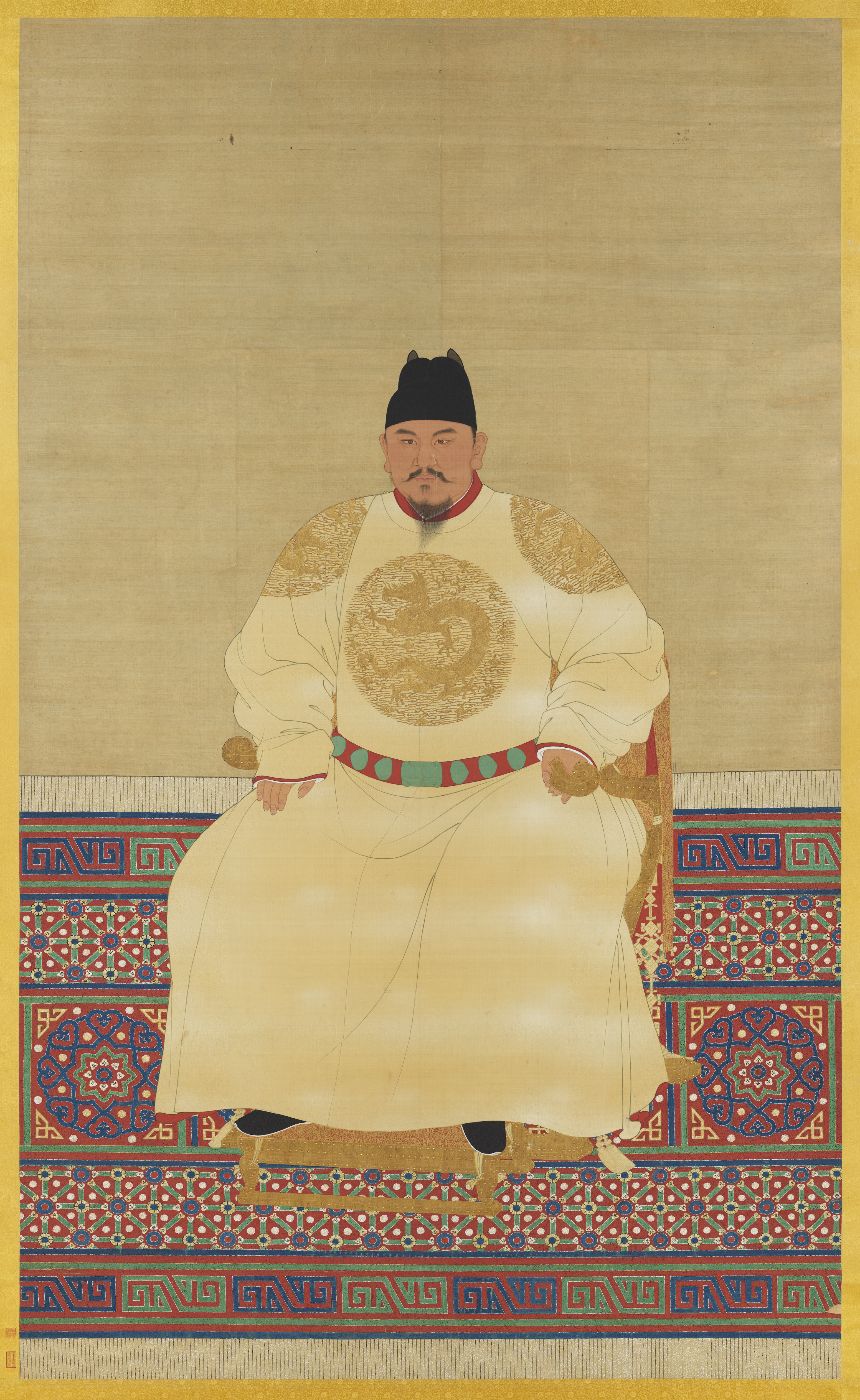
The Ming dynasty (), officially the Great Ming, was an Dynasties in Chinese history, imperial dynasty of China, ruling from 1368 to 1644 following the collapse of the Mongol Empire, Mongol-led Yuan dynasty. The Ming dynasty was the last orthodox dynasty of China ruled by the Han Chinese, Han people, the majority ethnic group in China. Although the primary capital of Beijing fell in 1644 to a rebellion led by Li Zicheng (who established the short-lived Shun dynasty), numerous rump state, rump regimes ruled by remnants of the House of Zhu, Ming imperial family—collectively called the Southern Ming—survived until 1662. The Ming dynasty's founder, the Hongwu Emperor (r. 1368–1398), attempted to create a society of self-sufficient rural communities ordered in a rigid, immobile system that would guarantee and support a permanent class of soldiers for his dynasty: the empire's standing army exceeded one million troops and the naval history of China, navy's dockyards in Nanjin ... [...More Info...] [...Related Items...] OR: [Wikipedia] [Google] [Baidu] |
Koxinga
Zheng Chenggong, Prince of Yanping (; 27 August 1624 – 23 June 1662), better known internationally as Koxinga (), was a Ming loyalist general who resisted the Qing conquest of China in the 17th century, fighting them on China's southeastern coast. In 1661, Koxinga defeated the Dutch outposts on Taiwan and established a dynasty, the House of Koxinga, which ruled part of the island as the Kingdom of Tungning from 1661 to 1683. Biography Early years Zheng Sen was born in 1624 in Hirado, Hizen Province, Japan, to Zheng Zhilong, a Chinese merchant and a Japanese woman, known only by her surname "Tagawa" or probably Tagawa Matsu. He was raised there until the age of seven with the Japanese name Fukumatsu (福松) and then moved to Fujian province of Ming dynasty China. In 1638, Zheng became a '' successful candidate'' in the imperial examination and became one of the twelve ''Linshansheng'' () of Nan'an. In 1641, Koxinga married the niece of Dong Yangxian, an official who was a ... [...More Info...] [...Related Items...] OR: [Wikipedia] [Google] [Baidu] |
Typhoon Meranti
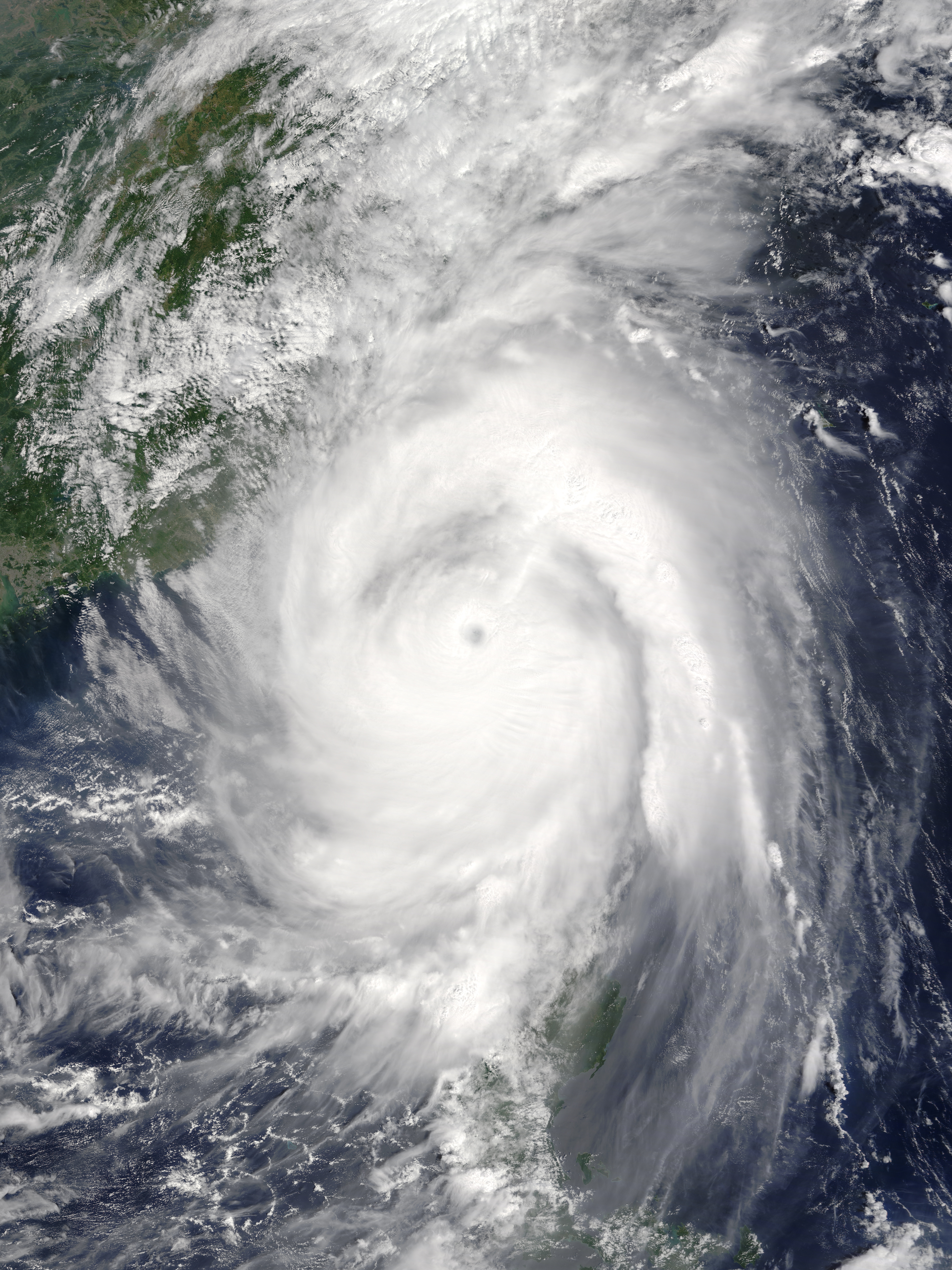
Typhoon Meranti, known in the Philippines as Super Typhoon Ferdie, was one of the most intense tropical cyclones on record. Impacting the Batanes in the Philippines, Taiwan, as well as Fujian Province in September 2016, Meranti formed as a tropical depression on September 8 near the island of Guam. Tracking to the west northwest, Meranti gradually intensified until September 11, at which point it began a period of rapid intensification. Continuing to rapidly intensify, it became a super typhoon early on September 12, as it passed through the Luzon Strait, ultimately reaching its peak intensity on September 13 with 1-minute sustained winds of 315 km/h (195 mph). Shortly afterwards, it passed directly over the island of Itbayat. Meranti passed to the south of Taiwan as a super typhoon, and began weakening steadily as a result of land interaction. By September 15, it struck Fujian Province as a Category 2-equivalent typhoon, becoming the strongest typhoon on record to impa ... [...More Info...] [...Related Items...] OR: [Wikipedia] [Google] [Baidu] |
Kinmen County Government
The Kinmen County Government () is the local government of the Republic of China that governs Kinmen County. Organizational structures Bureau * Civil Affairs Bureau * Finance Bureau * Education Bureau * Economic Development Bureau * Public Works Bureau * Social Affairs Bureau * Transportation and Tourism Bureau Office * Research and Evaluation Office * General Affairs Office * Accounting and Statistics Office * Civil Service Ethics Office * Personnel Office First Level Agency * Police Bureau * Health Bureau * Land Administration Bureau * Environmental Protection Bureau * Fire Bureau * Cultural Affairs Bureau * Revenue Service Office See also * Kinmen County Council The Kinmen County Council (KMCC; ) is the elected county council of Kinmen County, Republic of China. The council composes of 19 councilors lastly elected through the 2018 Republic of China local election on 24 November 2018. Speakers * Wang Za ... References External links * {{Authority control Kin ... [...More Info...] [...Related Items...] OR: [Wikipedia] [Google] [Baidu] |
Republic Of China Armed Forces
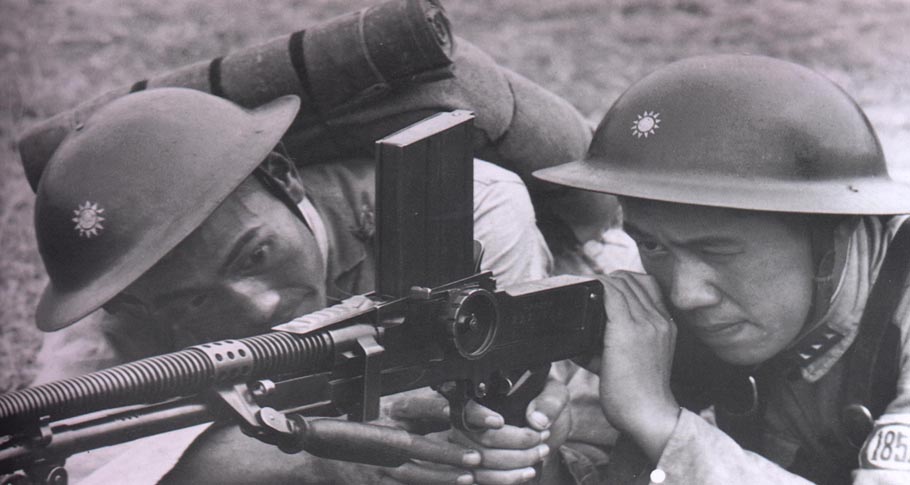
The Republic of China Armed Forces (ROC Armed Forces) are the armed forces of the Republic of China (ROC), once based in mainland China and currently in its remaining jurisdictions which include the islands of Taiwan, Penghu, Kinmen, Matsu, and other smaller ROC-controlled islands such as Taiping Island in the South China Sea. They consist of the Army, Navy (including the Marine Corps), Air Force and Military Police Force. The military is under the civilian control of the Ministry of National Defense, a cabinet-level agency overseen by the Legislative Yuan. It was previously named the National Revolutionary Army (NRA) before being renamed as the Republic of China Armed Forces in 1947 due to the implementation of the newly promulgated Constitution of the Republic of China. It was also historically referred as the Chinese National Armed Forces (CNAF) prior to the establishment of the People's Republic of China on the Chinese mainland and the gradual loss of internationa ... [...More Info...] [...Related Items...] OR: [Wikipedia] [Google] [Baidu] |
Kinmen
Kinmen, alternatively known as Quemoy, is a group of islands governed as a county by the Republic of China (Taiwan), off the southeastern coast of mainland China. It lies roughly east of the city of Xiamen in Fujian, from which it is separated by Xiamen Bay. Kinmen is located west from the shoreline of the island of Taiwan across the Taiwan Strait. The county consists of the major island of Kinmen along with several surrounding islets, as well as Wuqiu Township located to the northeast of the rest of the county., United States National Geospatial-Intelligence Agency Kinmen is one of two counties that constitutes Fujian Province, the other being Lienchiang County (Matsu). Kinmen's strategic location in the Taiwan Strait has led to numerous confrontations, making it a tangible embodiment of political change on Cross-Strait relations. In August 1958, Kinmen was heavily bombarded by the People's Liberation Army during the Second Taiwan Strait Crisis. Travel restrictions be ... [...More Info...] [...Related Items...] OR: [Wikipedia] [Google] [Baidu] |
Tidal Island
A tidal island is a piece of land that is connected to the mainland by a natural or man-made causeway that is exposed at low tide and submerged at high tide. Because of the mystique surrounding tidal islands, many of them have been sites of religious worship, such as Mont-Saint-Michel with its Benedictine Abbey. Tidal islands are also commonly the sites of fortresses because of their natural fortifications. List of tidal islands Asia Hong Kong * Ma Shi Chau in Tai Po District, northeastern New Territories, within the Tolo Harbour *Kiu Tau Island in Sai Kung Iran * Naaz islands in Persian gulf, southern seashore of Qeshm island Japan * Enoshima, in Sagami Bay, Kanagawa Prefecture Taiwan * Kueibishan in Penghu * Jiangong Islet in Kinmen South Korea *Jindo Island and Modo Island in southwest South Korea *Jebudo in the west Europe Denmark * Mandø Island – on Denmark's western coast * Knudshoved Island – north of Vordingborg on southern Zealand, Denmark Denmar ... [...More Info...] [...Related Items...] OR: [Wikipedia] [Google] [Baidu] |


.jpg)
