|
Justin Malfeyt
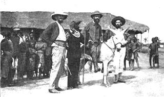
Justin-Prudent-François-Marie Malfeyt (21 June 1862 – 26 December 1924) was a Belgian soldier, engineer and administrator. He served in various senior administrative positions in the Belgian Congo, including command of the Orientale and Katanga provinces. Early years Justin-Prudent-François-Marie Malfeyt was born in Bruges on 21 June 1862. His parents were François-André Malfeyt, originally from the Netherlands, and Marie Joséphine Vandevelde. When he was 15 he enlisted in the engineer regiment. He passed through all the junior ranks, and left the regiment on 1 April 1883 as a second lieutenant. First three tours in the Congo (1891–1903) Malfeyt embarked for Africa on 16 March 1891 as a ''sous-intendant''. When he reached Boma he was assigned to command the post of Tshoa in Bas-Congo. Due to poor health he was forced to return to Boma. Due to his good understanding of administration he was assigned to the ''intendance'' service, and even acted as head of the se ... [...More Info...] [...Related Items...] OR: [Wikipedia] [Google] [Baidu] |
List Of Governors Of Orientale Province
This list of governors of Orientale Province includes governors or equivalent officerholders of the original Orientale Province created in the Belgian Congo in 1913, and of the successor provinces until the 2015 break-up of the province into the provinces of Bas-Uélé, Haut-Uélé, Ituri and Tshopo. Orientale/Oost Province was divided in 1933 into Costermansville Province (later Kivu Province) and Stanleyville Province. Stanleyville Province was renamed Orientale/Oost Province from 1947 to 1963, when it was broken up into Kibali-Ituri, Uélé and Haut-Congo provinces. Orientale Province was reconstituted in 1966. It was renamed Haut-Zaïre Province from 1971–1997, then returned to the name of Orientale Province from 1997 to 2015. First period (1913–1963) The governors or equivalent of Orientale/Oost Province and Stanleyville Province from 1913 to 1963 were: Successor provinces (1963–1966) Between 1963 and 1966 Orientale was broken up into the Kibali-Ituri, Uélé and ... [...More Info...] [...Related Items...] OR: [Wikipedia] [Google] [Baidu] |
Francis Dhanis
Francis Ernest Joseph Marie Dhanis (11 March 1861 – 13 November 1909) was a Belgian colonial civil servant and soldier noted for his service for the Congo Free State during the Congo Arab War and Batetela Rebellion. Early life and career Dhanis was born in London in 1861. His father was a Belgian merchant and his mother was an Irish woman named Brigitte Maher. He spent the first fourteen years of his life at Greenock, where he received his early education. After completing his education at the Royal Military Academy in Brussels, he entered the Belgian army, joining the Regiment of Grenadiers, in which he eventually rose to the rank of Major. Congo Free State As soon as he reached the rank of Lieutenant he volunteered for service in the Congo Free State of King Leopold II of Belgium, and in 1887 he went out for a first term. He did so well in founding new stations north of the Congo that, when the government decided to put an end to the Arab domination on the Upper Co ... [...More Info...] [...Related Items...] OR: [Wikipedia] [Google] [Baidu] |
Cape Hope
Cape Hope ( da, Kap Hope; kl, Noorajik Kangitteq, meaning 'the western little cape') is a headland in the Scoresby Sound, east Greenland, Sermersooq municipality. There was a settlement east of the cape known as Kap Hope ''(Ittaajimmiit)''. History This headland was named Cape Hope by William Scoresby (1789 – 1857) in 1822 to honour Samuel Hope esq. of Everton, Liverpool, grandfather of Samuel Morley, 1st Baron Hollenden. Geography Cape Hope is the southwesternmost point of Liverpool Land. It rises east of the mouth of Hurry Inlet, opposite Cape Stewart.''Prostar Sailing Directions 2005 Greenland and Iceland Enroute'', p. 115 It is located in the northern shore of Scoresby Sound, near Ittoqqortoormiit. See also *Geography of Greenland Greenland is located between the Arctic Ocean and the North Atlantic Ocean, northeast of Canada and northwest of Iceland. The territory comprises the island of Greenland—the largest island in the world—and more than a hundred other ... [...More Info...] [...Related Items...] OR: [Wikipedia] [Google] [Baidu] |
Albert I Of Belgium
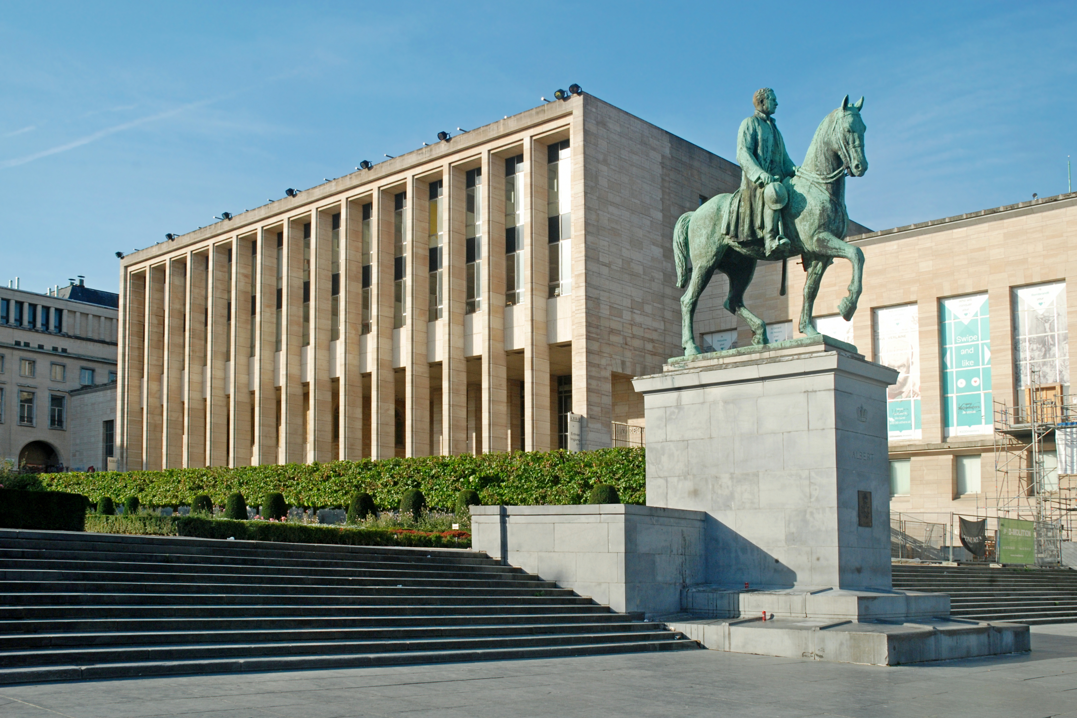
Albert I (8 April 1875 – 17 February 1934) was King of the Belgians from 23 December 1909 until his death in 1934. Born in Brussels as the fifth child and second son of Prince Philippe, Count of Flanders and Princess Marie of Hohenzollern-Sigmaringen, Albert succeeded his uncle, Leopold II, to the Belgian throne in 1909. He married Elisabeth of Bavaria, with whom he had three children. Albert ruled during an eventful period in the history of Belgium, which included the period of World War I (1914–1918), when most of Belgium was occupied by German forces. Other crucial events of his reign included the adoption of the Treaty of Versailles in June 1919, the ruling of the Belgian Congo as an overseas possession of Belgium along with the League of Nations mandate of Ruanda-Urundi, the reconstruction of Belgium following the war, and the first five years of the Great Depression (1929–1934). Albert died in a mountaineering accident in eastern Belgium in 1934, at the age ... [...More Info...] [...Related Items...] OR: [Wikipedia] [Google] [Baidu] |
Kwango
Kwango is a province of the Democratic Republic of the Congo. It's one of the 21 provinces created in the 2015 repartitioning. Kwango, Kwilu, and Mai-Ndombe provinces are the result of the dismemberment of the former Bandundu province. Kwango was formed from the Kwango district whose town of Kenge was elevated to capital city of the province. The province takes its name from the Kwango River, a tributary of the Kasai River that defines part of the international boundary between the DRC and Angola. Towns/territories The capital of Kwango district is Kenge. Other towns include Popokabaka, Feshi, Kasongo Lunda, Lusanga and Kahemba. The province is in the southwest of the DRC, bordering Angola to the south. Territories are: * Feshi * Kahemba * Kasongo Lunda * Kenge * Popokabaka History Kwango previously existed as a province from 1962 to 1966. Presidents (from 1965, governors) *23 September 1962 – 11 November 1962 Albert Delvaux (fl. 1918) * November 1962 Emmanuel Ma ... [...More Info...] [...Related Items...] OR: [Wikipedia] [Google] [Baidu] |
Kasaï Province
Kasaï is one of the 21 new provinces of the Democratic Republic of the Congo created in the 2015 repartitioning. Kasaï and Kasaï-Central provinces are the result of the dismemberment of the former Kasaï-Occidental province. Kasaï was formed from the Kasaï district and the independently administered city of Tshikapa which became the capital of the new province. There are 5 administrative territories within the province, which include: # Dekese # Ilebo # Kamonia (Tshikapa) # Luebo # Mweka See also * Kasai region * Kamwina Nsapu rebellion The Kamwina Nsapu rebellion, also spelled Kamuina Nsapu rebellion, was an uprising that took place in the Democratic Republic of the Congo between 2016 and 2019. It was instigated by the Kamwina Nsapu militia against state security forces in the ... References 01 Provinces of the Democratic Republic of the Congo {{DRCongo-geo-stub ... [...More Info...] [...Related Items...] OR: [Wikipedia] [Google] [Baidu] |
Province Of Équateur
Équateur is one of the 21 new provinces of the Democratic Republic of the Congo created in the 2015 repartitioning. Équateur, Mongala, Nord-Ubangi, Sud-Ubangi, and Tshuapa provinces are the result of the dismemberment of the former Équateur province. The new province was formed from the Équateur district and the independently administered city of Mbandaka which retained its status as a provincial capital. History The province of Équateur created in 1917 was much larger than today. Over time it went through a number of border and name changes. Under Article 2 of the 2006 Constitution it was to assume its current boundaries, but administratively they were not finalized until 2015. Administrative divisions The province consists of eight administrative subdivisions, one of which is the provincial capital, Mbandaka; and seven of which are territories: :# Bikoro Territory (Bukoro Territory) with the town of Bikoro :# Lukolela Territory with the town of Lukolela :# Basankus ... [...More Info...] [...Related Items...] OR: [Wikipedia] [Google] [Baidu] |
Paul Costermans
Paul-Marie-Adolphe Costermans (2 April 1860 – 9 March 1905) was a Belgian soldier and colonial civil servant. After a brief career in the Belgian Army, Costermans enlisted for service in the military of the Congo Free State, the ''Force Publique'', in 1890 and later served in the colony's administration. During several periods of service in the colony, Costermans rose through the ranks. Between 1904 and his death in 1905, he held the position of Vice Governor-General of the Congo. Career A native of Brussels, Costermans attended the Royal Military Academy and was commissioned a sub-lieutenant of artillery in the Belgian Army on 13 December 1880. He joined the armed forces of the Congo, the ''Force Publique'', as a lieutenant on 3 October 1890, and embarked for the Congo the same day at Vlissingen. He arrived in Boma on 2 November... After a brief posting elsewhere, Costermans was appointed district commissioner of Stanley Pool (Léopoldville), where he arrived on 26 May 1891 ... [...More Info...] [...Related Items...] OR: [Wikipedia] [Google] [Baidu] |
Kivu
Kivu was the name for a large "region" in the Democratic Republic of the Congo under the rule of Mobutu Sese Seko that bordered Lake Kivu. It included three "Sub-Regions" ("Sous-Régions" in French): Nord-Kivu, Sud-Kivu and Maniema, corresponding to the three current provinces created in 1986. The capital of the Kivu Region was in Bukavu, and the capitals of the three Sub-Regions were in Goma, Uvira and Kindu. Kivu has been repeatedly subjected to major conflicts since the early 20th century. Under Belgian colonial rule, it was the site of several religious revolts such as the 1944 Kivu uprising. Following independence, it was a battleground of the Simba rebellion, First Congo War, and Second Congo War, and has been the site of an ongoing military conflict since the early 2000s. In addition, an Ebola epidemic affected the region from August 2018 to June 2020. Geography Kivu is also the name for the entire region surrounding Lake Kivu, including the portions in Rwanda which ... [...More Info...] [...Related Items...] OR: [Wikipedia] [Google] [Baidu] |
Lualaba Province
Lualaba is one of the 21 new provinces of the Democratic Republic of the Congo created in the 2015 repartitioning. Lualaba, Haut-Katanga, Haut-Lomami, and Tanganyika provinces are the result of the dismemberment of the former Katanga province. Lualaba was formed from the Lualaba and Kolwezi districts. Kolwezi was a hybrid city/district which was separated from its two territories and the city proper became the capital of the new province. Former province Lualaba Province was separated from Katanga Province on 30 June 1963. Then, on 24 April 1966, it was united with Katanga Oriental Haut-Katanga District (Upper Katanga District) is a former district located in the former Katanga Province of the Democratic Republic of the Congo. The copper mining centers of Lubumbashi and Likasi were surrounded by the district but were admin ... to form Sud-Katanga Province, which was later merged back into Katanga. The President of Lualaba, from 1965 the governor, was Dominique Diur who ... [...More Info...] [...Related Items...] OR: [Wikipedia] [Google] [Baidu] |
Nile
The Nile, , Bohairic , lg, Kiira , Nobiin language, Nobiin: Áman Dawū is a major north-flowing river in northeastern Africa. It flows into the Mediterranean Sea. The Nile is the longest river in Africa and has historically been considered the List of rivers by length, longest river in the world, though this has been contested by research suggesting that the Amazon River is slightly longer.Amazon Longer Than Nile River, Scientists Say Of the world's major rivers, the Nile is one of the smallest, as measured by annual flow in cubic metres of water. About long, its drainage basin covers eleven countries: the Democratic Republic of the Congo, Tanzania, Burundi, Rwanda, Uganda, Kenya, Ethiopia, Erit ... [...More Info...] [...Related Items...] OR: [Wikipedia] [Google] [Baidu] |


