|
Jungfrau
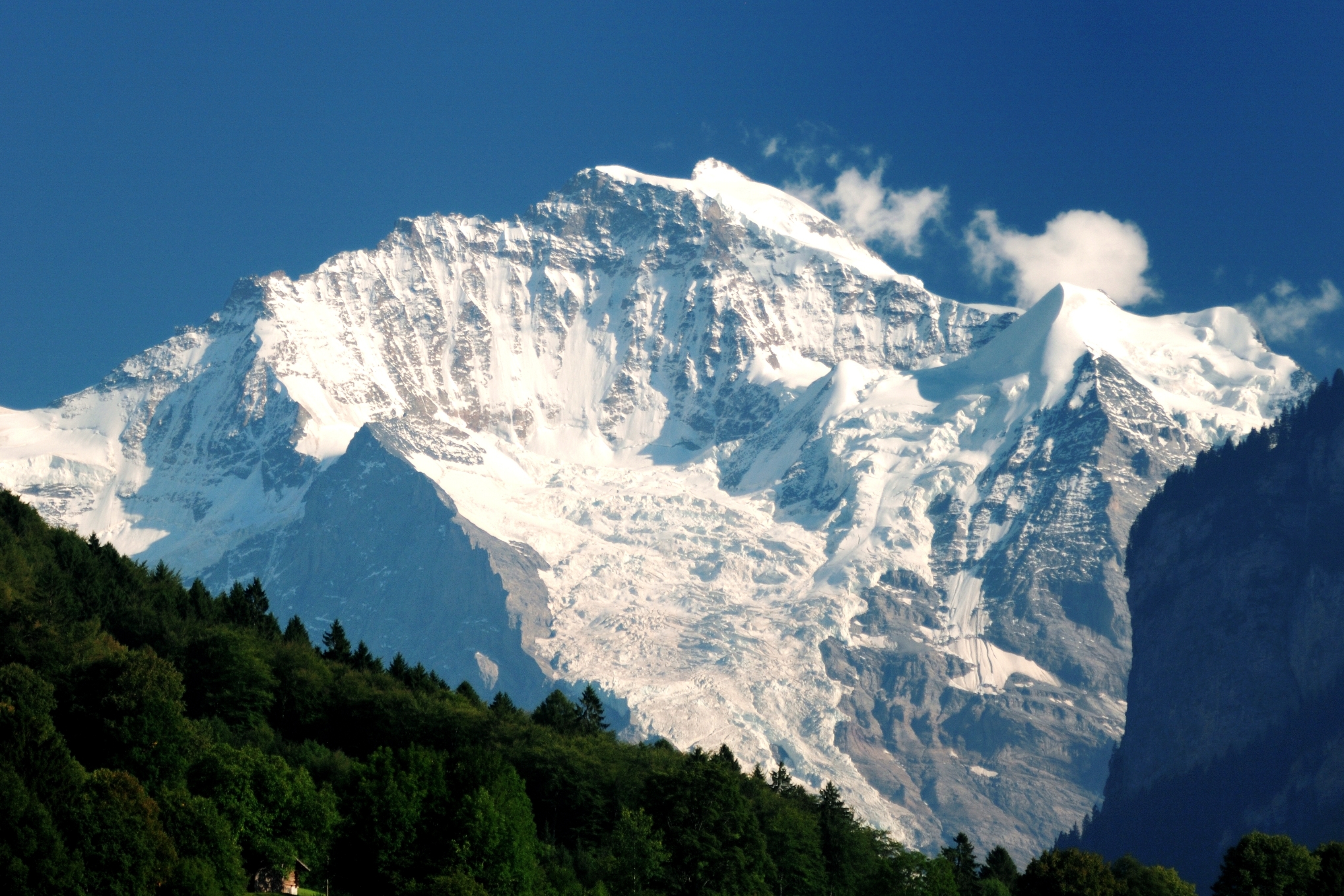
The Jungfrau ( "maiden, virgin"), at is one of the main summits of the Bernese Alps, located between the northern canton of Bern and the southern canton of Valais, halfway between Interlaken and Fiesch. Together with the Eiger and Mönch, the Jungfrau forms a massive wall of mountains overlooking the Bernese Oberland and the Swiss Plateau, one of the most distinctive sights of the Swiss Alps. The summit was first reached on August 3, 1811, by the Meyer brothers of Aarau and two chamois hunters from Valais. The ascent followed a long expedition over the glaciers and high passes of the Bernese Alps. It was not until 1865 that a more direct route on the northern side was opened. The construction of the Jungfrau Railway in the early 20th century, which connects Kleine Scheidegg to the Jungfraujoch, the saddle between the Mönch and the Jungfrau, made the area one of the most-visited places in the Alps. Along with the Aletsch Glacier to the south, the Jungfrau is part of the ... [...More Info...] [...Related Items...] OR: [Wikipedia] [Google] [Baidu] |
Jungfraujoch
The Jungfraujoch (German: lit. "maiden saddle") is a saddle connecting two major 4000ers of the Bernese Alps: the Jungfrau and the Mönch. It lies at an elevation of above sea level and is directly overlooked by the rocky prominence of the Sphinx. The Jungfraujoch is a glacier saddle, on the upper snows of the Aletsch Glacier, and part of the Jungfrau-Aletsch area, situated on the boundary between the cantons of Bern and Valais, halfway between Interlaken and Fiesch. Since 1912, the Jungfraujoch has been accessible to tourists by the Jungfrau line, a railway from Interlaken and Kleine Scheidegg, running partly underground through a tunnel through the Eiger and Mönch. The Jungfraujoch railway station, at an elevation of is the highest in Europe. It lies east of the saddle, below the Sphinx station, and is connected to the Top of Europe building, which includes several panoramic restaurants, shops, exhibitions, and a post office. Several tunnels lead outside, where secured ... [...More Info...] [...Related Items...] OR: [Wikipedia] [Google] [Baidu] |
Jungfrau Railway
The Jungfrau Railway (german: Jungfraubahn, JB) is a mountain railway in the Bernese Alps, connecting Kleine Scheidegg in the Bernese Oberland to the Jungfraujoch, across the Valais border. The railway, which uses a and racks, runs from the station of Kleine Scheidegg () to the Jungfraujoch (). It is the highest railway in Switzerland and Europe, the Jungfraujoch being the highest railway station on the continent and well above the perennial snow line. As a consequence, the railway runs essentially within the Jungfrau Tunnel, built into the neighbouring Eiger and Mönch, to protect the line from snow and extreme weather. Another particularity of the Jungfrau Railway is the high elevation of its starting point, at the hub of Kleine Scheidegg, also the highest in Europe. The Jungfrau Railway got its name from the highest of the three high peaks above it: the Jungfrau ( en, maiden, virgin; ), the latter mountain being the initial goal of the project. A lift connecting the su ... [...More Info...] [...Related Items...] OR: [Wikipedia] [Google] [Baidu] |
Jungfrau-Aletsch Protected Area
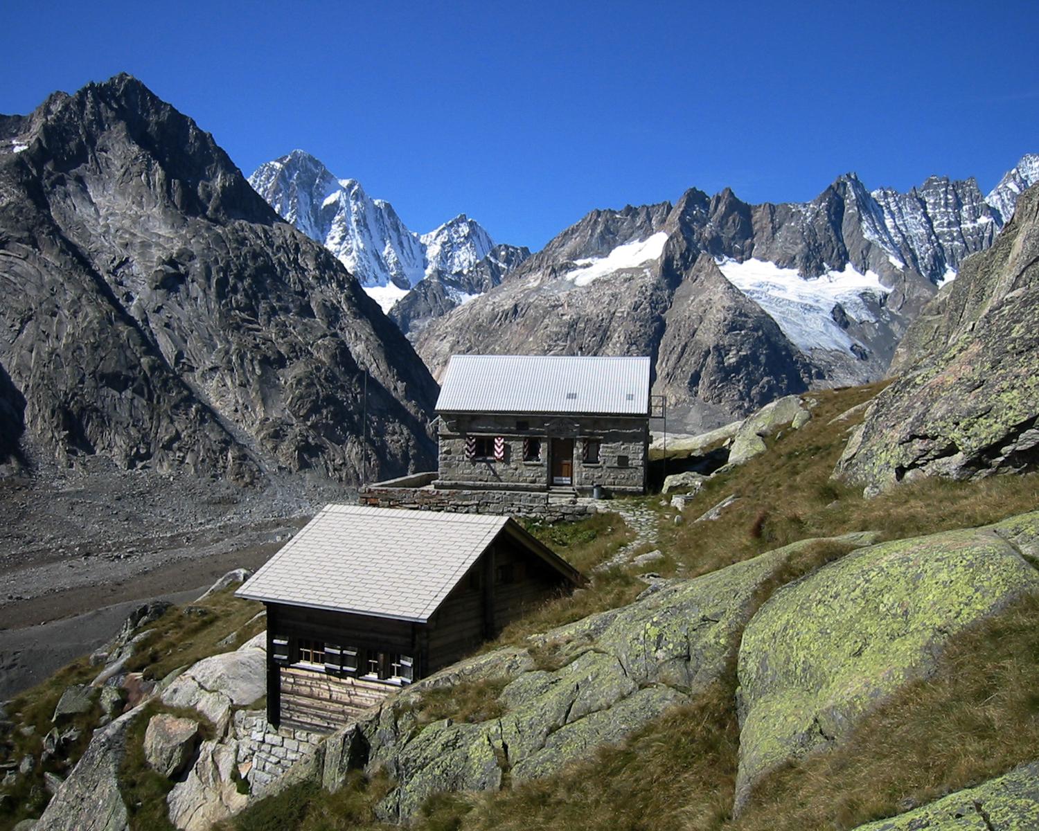
The Jungfrau-Aletsch protected area (officially Swiss Alps Jungfrau-Aletsch) is located in south-western Switzerland between the cantons of Berne and Valais. It is a mountainous region in the easternmost side of the Bernese Alps, containing the northern wall of Jungfrau and Eiger, and the largest glaciated area in western Eurasia, comprising the Aletsch Glacier. The Jungfrau-Aletsch protected area is the first World Natural Heritage site in the Alps; it was inscribed in 2001. . Retrieved on 2009-10-18 Geography and climate The Jungfrau-Aletsch protected area is located in the |
Interlaken
, neighboring_municipalities= Bönigen, Därligen, Matten bei Interlaken, Ringgenberg, Unterseen , twintowns = Scottsdale (USA), Ōtsu (Japan), Třeboň (Czech Republic) Interlaken (; lit.: ''between lakes'') is a Swiss town and municipality in the Interlaken-Oberhasli administrative district in the canton of Bern. It is an important and well-known tourist destination in the Bernese Oberland region of the Swiss Alps, and the main transport gateway to the mountains and lakes of that region. The town is located on flat alluvial land called Bödeli between two lakes, Brienz to the east and Thun to the west, and alongside the river Aare, which flows between them. Transport routes to the east and west alongside the lakes are complemented by a route southwards into the near mountain resorts and high mountains, e.g. the famous high Alpine peaks of Eiger, Mönch, and Jungfrau, following upwards the Lütschine. Interlaken is the central town of a Small Agglomeration with th ... [...More Info...] [...Related Items...] OR: [Wikipedia] [Google] [Baidu] |
Aletsch Glacier
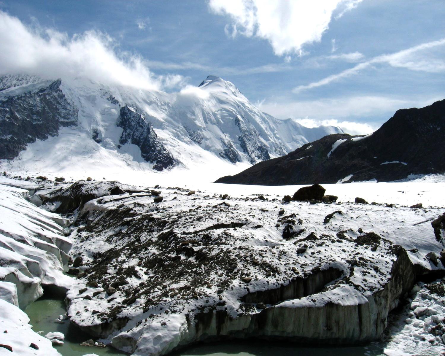
The Aletsch Glacier (german: Aletschgletscher, ) or Great Aletsch Glacier () is the largest glacier in the Alps. It has a length of about (2014), has about a volume of (2011), and covers about (2011) in the eastern Bernese Alps in the Swiss canton of Valais. The Aletsch Glacier is composed of four smaller glaciers converging at Konkordiaplatz, where its thickness was measured by the ETH to be still near . It then continues towards the valley before giving birth to the Massa. The Aletsch Glacier is – like most glaciers in the world today – a retreating glacier. As of 2016, since 1980 it lost of its length, since 1870 , and lost also more than of its thickness. The whole area, including other glaciers is part of the Protected Area, which was declared a UNESCO World Heritage Site in 2001. Geography The Aletsch Glacier is one of the many glaciers located between the cantons of Bern and Valais on the Bernese Alps located east of the Gemmi Pass. The whole area is ... [...More Info...] [...Related Items...] OR: [Wikipedia] [Google] [Baidu] |
Grindelwald
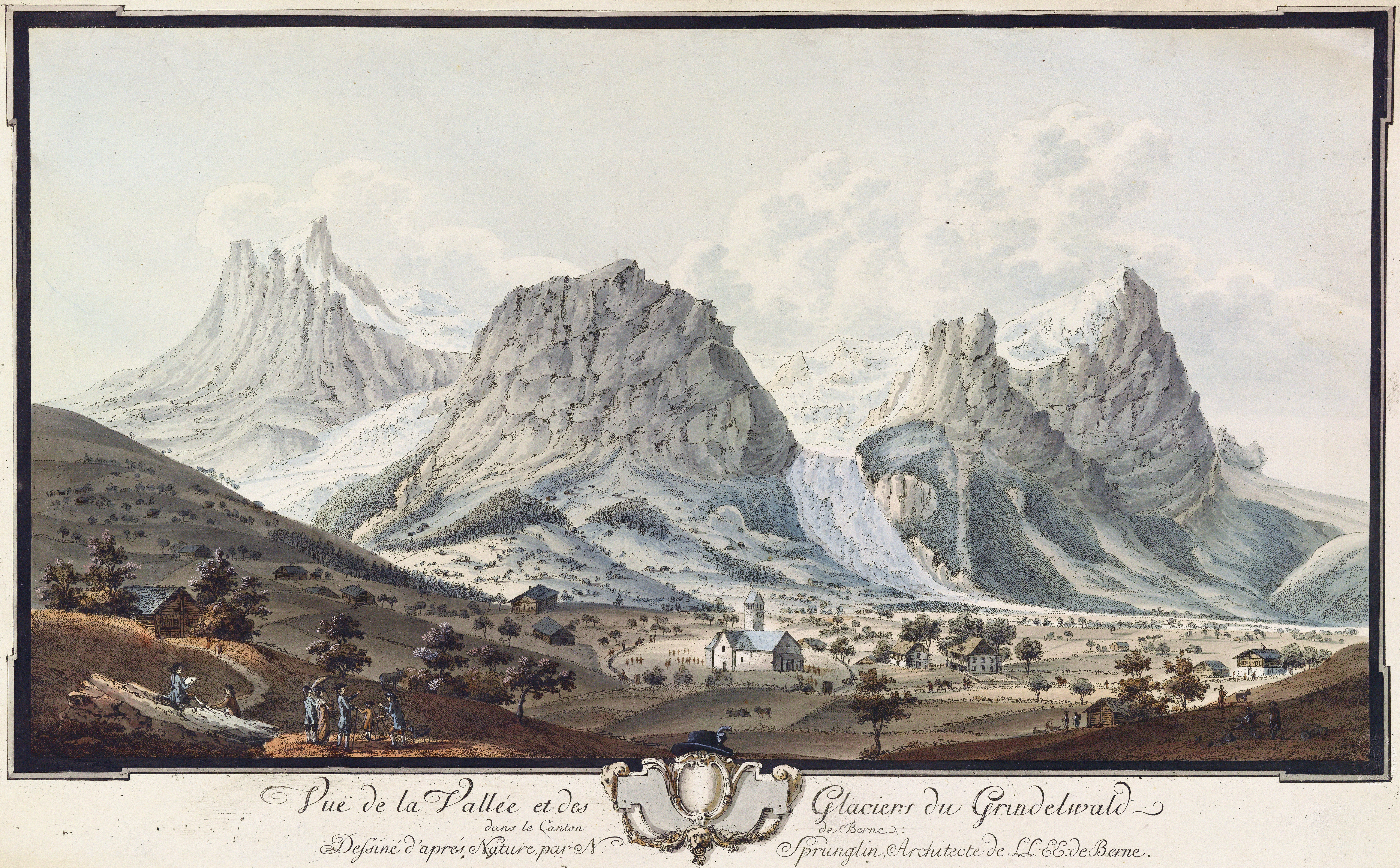
Grindelwald is a village and municipality in the Interlaken-Oberhasli administrative district in the canton of Berne. In addition to the village of Grindelwald, the municipality also includes the settlements of Alpiglen, Burglauenen, Grund, Itramen, Mühlebach, Schwendi, Tschingelberg and Wargistal. Grindelwald village is located at above sea level. Mentioned for the first time in 1146, it has become a major tourist destination of both Switzerland and the Alps since the golden age of alpinism in the 19th century. It is notably overlooked by the section of the Bernese Alps from the Wetterhorn to the Eiger, making up a huge natural barrier. Together with the adjacent valley of Lauterbrunnen, the valley of Grindelwald forms part of the Jungfrau Region of the Bernese Oberland, between Interlaken and the main crest of the Bernese Alps. Similarly to Lauterbrunnen, Grindelwald is connected to Interlaken by the Bernese Oberland Railway and is the start of the Wengernalp Railwa ... [...More Info...] [...Related Items...] OR: [Wikipedia] [Google] [Baidu] |
Lauterbrunnen
, neighboring_municipalities= Aeschi bei Spiez, Blatten (Lötschen) (VS), Fieschertal (VS), Grindelwald, Gündlischwand, Kandersteg, Lütschental, Reichenbach im Kandertal, Saxeten, Wilderswil , twintowns = } Lauterbrunnen is a village and municipality in the Interlaken-Oberhasli administrative district in the canton of Bern in Switzerland. The municipality comprises the other villages of Wengen, Mürren, Gimmelwald, Stechelberg and Isenfluh, as well as several other hamlets. The population of the village of Lauterbrunnen is less than that of Wengen, but larger than that of the others. The municipality comprises the Lauterbrunnen Valley (german: Lauterbrunnental), located at the foot of the Bernese Alps. It is notably overlooked by the Eiger, Mönch and Jungfrau and many other high peaks. The valley, drained by the White Lütschine, comprehends the Soustal, the Sefinental and the upper Lauterbrunnen Valley with Untersteinberg. The valley includes several glaciers. ... [...More Info...] [...Related Items...] OR: [Wikipedia] [Google] [Baidu] |
Eiger
The Eiger () is a mountain of the Bernese Alps, overlooking Grindelwald and Lauterbrunnen in the Bernese Oberland of Switzerland, just north of the main watershed and border with Valais. It is the easternmost peak of a ridge crest that extends across the Mönch to the Jungfrau at , constituting one of the most emblematic sights of the Swiss Alps. While the northern side of the mountain rises more than 3,000 m (10,000 ft) above the two valleys of Grindelwald and Lauterbrunnen, the southern side faces the large glaciers of the Jungfrau-Aletsch area, the most glaciated region in the Alps. The most notable feature of the Eiger is its nearly north face of rock and ice, named ''Eiger-Nordwand'', ''Eigerwand'' or just ''Nordwand'', which is the biggest north face in the Alps. This huge face towers over the resort of Kleine Scheidegg at its base, on the eponymous pass connecting the two valleys. The first ascent of the Eiger was made by Swiss guides Christian Almer a ... [...More Info...] [...Related Items...] OR: [Wikipedia] [Google] [Baidu] |
Kleine Scheidegg
The Kleine Scheidegg ( en, Little Scheidegg) is a mountain pass at an elevation of , situated below and between the Eiger and Lauberhorn peaks in the Bernese Oberland region of Switzerland. The name means "minor watershed", as it only divides the two arms of the Lütschine river, both converging at Zweilütschinen, while the nearby Grosse Scheidegg divides the Lütschine from the Rychenbach stream. The pass is traversed by a walking trail and the Wengernalp Railway, which both connect the villages of Grindelwald with Lauterbrunnen, passing through Wengen between the pass summit and Lauterbrunnen. In winter, Kleine Scheidegg is the centre of the ski area around Grindelwald and Wengen. In summer, it is a popular hiking destination, and is one of the passes crossed by the Alpine Pass Route between Sargans and Montreux. The Jungfrau Marathon, a mountain race that takes place every year in early September, ends at Kleine Scheidegg. The Kleine Scheidegg railway station is site ... [...More Info...] [...Related Items...] OR: [Wikipedia] [Google] [Baidu] |
Bernese Alps
, topo_map= Swiss Federal Office of Topography swisstopo , photo=BerneseAlps.jpg , photo_caption=The Eiger, Mönch, and Jungfrau , country= Switzerland , subdivision1_type= Cantons , subdivision1= , parent= Western Alps , borders_on= , length_mi= , length_orientation= , width_mi= , width_orientation= , geology= , orogeny= , highest= Finsteraarhorn , elevation_m=4274 , range_coordinates= , coordinates= , map_image=Berner Alpen.png , map_caption=Map of Bernese Alps and their location in Switzerland (red) The Bernese Alps (german: Berner Alpen, french: Alpes bernoises, it, Alpi bernesi) are a mountain range of the Alps, located in western Switzerland. Although the name suggests that they are located in the Berner Oberland region of the canton of Bern, portions of the Bernese Alps are in the adjacent cantons of Valais, Fribourg and Vaud, the latter being usually named ''Fribourg Alps'' and ''Vaud Alps'' respectively. The highest mountain in the range, the ... [...More Info...] [...Related Items...] OR: [Wikipedia] [Google] [Baidu] |
Alps
The Alps () ; german: Alpen ; it, Alpi ; rm, Alps ; sl, Alpe . are the highest and most extensive mountain range system that lies entirely in Europe, stretching approximately across seven Alpine countries (from west to east): France, Switzerland, Italy, Liechtenstein, Austria, Germany, and Slovenia. The Alpine arch generally extends from Nice on the western Mediterranean to Trieste on the Adriatic and Vienna at the beginning of the Pannonian Basin. The mountains were formed over tens of millions of years as the African and Eurasian tectonic plates collided. Extreme shortening caused by the event resulted in marine sedimentary rocks rising by thrusting and folding into high mountain peaks such as Mont Blanc and the Matterhorn. Mont Blanc spans the French–Italian border, and at is the highest mountain in the Alps. The Alpine region area contains 128 peaks higher than . The altitude and size of the range affect the climate in Europe; in the mountains ... [...More Info...] [...Related Items...] OR: [Wikipedia] [Google] [Baidu] |
Swiss Alps
The Alpine region of Switzerland, conventionally referred to as the Swiss Alps (german: Schweizer Alpen, french: Alpes suisses, it, Alpi svizzere, rm, Alps svizras), represents a major natural feature of the country and is, along with the Swiss Plateau and the Swiss portion of the Jura Mountains, one of its three main physiographic regions. The Swiss Alps extend over both the Western Alps and the Eastern Alps, encompassing an area sometimes called Central Alps. While the northern ranges from the Bernese Alps to the Appenzell Alps are entirely in Switzerland, the southern ranges from the Mont Blanc massif to the Bernina massif are shared with other countries such as France, Italy, Austria and Liechtenstein. The Swiss Alps comprise almost all the highest mountains of the Alps, such as Dufourspitze (4,634 m), the Dom (4,545 m), the Liskamm (4,527 m), the Weisshorn (4,506 m) and the Matterhorn (4,478 m). The other following major summits can be found in this list of m ... [...More Info...] [...Related Items...] OR: [Wikipedia] [Google] [Baidu] |


.jpg)


