|
Joypurhat
Joypurhat ( bn, জয়পুরহাট জেলা, ''Joypurhat Jela'', also ''Joypurhat Zila'') is a district in the northern part of Bangladesh. It is one of the 8 districts of Rajshahi Division. History Ancient history Joypurhat was an area under the Pala Empire & Sena dynasty for a long period of time. Till 16th and 17th centuries, there was no clear information about Joypurhat's history. Previously the local name for Joypurhat was ''Baghabarihat''. Later it was called ''Gopendraganjahat'' in many archives. Once Lalbazar Thana was established by containing the present Joypurhat Sadar Upazila and Panchbibi Upazila. The thana was located on the east side of Small Jamuna River named Puranapoil. Then Puranapoil Union was known as Karimnagar. A post office was established in Lalbazar Thana. The sub-registry office was established in Nawabganj. There were many Neelkuthi established in this area. At that era, Lalbazar Thana was a town. Back then it was the only work for the ... [...More Info...] [...Related Items...] OR: [Wikipedia] [Google] [Baidu] |
Joypurhat Sadar Upazila
Joypurhat Sadar ( bn, জয়পুরহাট সদর) is an upazila of Joypurhat District in the Division of Rajshahi, Bangladesh. Geography Joypurhat Sadar is located at . It has 45484 households and total area 238.54 km2. Joypurhat Sadar Upazila is bounded by Panchbibi Upazila and Balurghat CD Block in Dakshin Dinajpur district, West Bengal, India, on the north, Kalai and Khetlal Upazilas on the east, Khetlal, Akkelpur and Badalgachhi Upazilas on the south and Dhamoirhat Upazila and Balurghat CD Block on the west. Demographics As of the 1991 Bangladesh census, Joypurhat Sadar has a population of 225271. Males constitute 52.18% of the population, and females 47.82%. This Upazila's eighteen up population is 123804. Joypurhat Sadar has an average literacy rate of 33.1% (7+ years), and the national average of 32.4% literate. Points of interest Joypurhat Sugar Mill's Limited is the largest autonomous sugar mill in the country. Pagla Dewan Boddhovumi is one of Bang ... [...More Info...] [...Related Items...] OR: [Wikipedia] [Google] [Baidu] |
Joypurhat Railway Station
Joypurhat railway station is a railway station in Joypurhat, Bangladesh. It was established 1884 in the British Raj period and is situated in the central point of Joypurhat City. Joypurhat railway station is a very important station in the northern part of Bangladesh. The two biggest rail junctions, Santahar and Parbatipur, are very near to this station. Many trains serve this station daily to different parts of the country. Joypurhat is a border side district of Bangladesh and Hili land port is very close to Joypurhat, so many people who want to go to India, Nepal, or Bhutan can come to Joypurhat by railway. They can also go to Hili by railway from this station. See also * Joypurhat District * Bangladesh Railway * Santahar railway station * Kamalapur railway station Kamalapur Railway Station, officially known as Dhaka Railway Station, is the central railway station in Dhaka, capital of Bangladesh. It is the largest station and the busiest infrastructure for transportation i ... [...More Info...] [...Related Items...] OR: [Wikipedia] [Google] [Baidu] |
Panchbibi Upazila
Panchbibi ( bn, পাঁচবিবি) is an upazila of Joypurhat District in the Division of Rajshahi, Bangladesh Bangladesh (}, ), officially the People's Republic of Bangladesh, is a country in South Asia. It is the eighth-most populous country in the world, with a population exceeding 165 million people in an area of . Bangladesh is among the mos .... It is bounded by Hakimpur and Ghoraghat upazilas and West Bengal of India on the north, Joypurhat Sadar upazila on the south, Gobindaganj and Kalai upazilas on the east, Joypurhat Sadar upazila and West Bengal of India on the west. Geography Panchbibi is located at . It has 38,555 household units and a total area of 278.53 km2. Panchbibi Upazila is bounded by Hakimpur Upazila, Hakimpur and Ghoraghat Upazila, Ghoraghat Upazilas in Dinajpur district, and Hili (community development block), Hili Community development block in India, CD Block in Dakshin Dinajpur district, West Bengal, India, on the north, Gobind ... [...More Info...] [...Related Items...] OR: [Wikipedia] [Google] [Baidu] |
Khetlal Upazila
Khetlal ( bn, ক্ষেতলাল) is an upazila of Joypurhat District in the Division of Rajshahi, Bangladesh. Khetlal Thana was formed in 1847 and it was turned into an upazila on 3 July 1983. Khetlal Municipality was declared on 9 December 2010. Geography Khetlal Upazila (Joypurhat district) area 142.60 km2, located in between 24°56' and 25°08' north latitudes and in between 89°02' and 89°12' east longitudes. It is bounded by Joypurhat sadar upazila on the north, Akkelpur and Dhupchanchia upazilas on the south, Kalai and Shibganj upazilas on the east, Joypurhat Sadar and Akkelpur upazilas on the west. Water bodies Main rivers: Tulsiganga, Harabati. Demographics Population Total 115918; male 59274, female 56644; Muslim 105728, Hindu 9981, Buddhist 65, Christian 18 and others 126. Indigenous communities such as santal and oraon belong to this upazila. Administration Khetlal Upazila is divided into Khetlal Municipality and five union parishads:Alampur, Barail, Bara ... [...More Info...] [...Related Items...] OR: [Wikipedia] [Google] [Baidu] |
Akkelpur Upazila
Akkelpur ( bn, আক্কেলপুর) is an upazila of Joypurhat District in the division of Rajshahi, Bangladesh. Geography Akkelpur is located at , with a total area of 139.47 km2. It is the smallest upazila in Joypurhat Zila. Demographics At the 1991 Bangladesh census, Akkelpur had a population of 126,046, in 24,475 households. Males constituted 52.9% of the population, and females 47.1%. The population aged 18 or older was 68,033. Akkelpur had an average literacy rate of 34% (7+ years), against the national average of 32.4%. Administration Akkelpur Upazila is divided into Akkelpur Municipality and five union parishads: Gopinathpur, Raikali, Rukindipur, Sonamukhi, and Tilakpur. The union parishads are subdivided into 116 mauzas and 145 villages. Akkelpur Municipality is subdivided into 9 wards and 15 mahallas. See also *Upazilas of Bangladesh An ''upazila'' ( bn, উপজেলা, upôzela, lit=sub-district pronounced: ), formerly called ''thana'', is an ... [...More Info...] [...Related Items...] OR: [Wikipedia] [Google] [Baidu] |
Rajshahi Division
Rajshahi Division ( bn, রাজশাহী বিভাগ) is one of the eight first-level administrative divisions of Bangladesh. It has an area of and a population at the 2011 Census of 18,484,858. Rajshahi Division consists of 8 districts, 70 Upazilas (the next lower administrative tier) and 1,092 Unions (the lowest administrative tier). The region has historically been dominated by various feudal Rajas, Maharajas and Zamindars. Formerly comprising 16 districts, a new division (Rangpur Division) was formed with the 8 northern districts of the old Rajshahi Division from early 2010. Etymology and names The Rajshahi Division is named after Rajshahi District. Dominated by various feudal Rajas, Maharajas and Zamindars of mixed origins throughout history, the name is a compound of the words ''Raj'' and ''Shahi'', both of which can be translated into reign or kingdom. Archaic spellings in the English language also included ''Rajeshae''. The capital city of the division was for ... [...More Info...] [...Related Items...] OR: [Wikipedia] [Google] [Baidu] |
Patharghata (archaeological Site)
Patharghata is an ancient city and one of the most important archeological sites in Bangladesh located in Joypurhat district. It is located at Patharghata Patharghata ( bn, পাথরঘাটা উপজেলা) is an Upazila of Barguna District in the Division of Barisal, Bangladesh. Geography Patharghata is located at . It has 25,610 households and a total area of 387.36 km2. Dem ... in Panchbibi upazila of the district. The Patharghata site is the site of several archeological sites. It is situated on the bank of the river Tulsiganga, 1.5 km east of the upazila headquarters. Traces of the ruins of this ancient city are found on both banks of the Tulsiganga River. History The total area of the archeological site is about 4 square kilometers. During excavation, the ruins of a archeological ancient bridge over the Tulsiganga River have been found. During the construction of Catholic missions and adjacent areas, archeological sites have been found in v ... [...More Info...] [...Related Items...] OR: [Wikipedia] [Google] [Baidu] |
Chiri River
The Chiri River ( bn, চিরি নদী) is a river in the northern part of Bangladesh. It passes through Joypurhat District in the Rajshahi Division. References Chiri River The Chiri River ( bn, চিরি নদী) is a river in the northern part of Bangladesh. It passes through Joypurhat District in the Rajshahi Division Rajshahi Division ( bn, রাজশাহী বিভাগ) is one of the eight fir ... Rivers of Rajshahi Division {{Bangladesh-river-stub ... [...More Info...] [...Related Items...] OR: [Wikipedia] [Google] [Baidu] |
Tulshiganga River
Tulshiganga River ( bn, তুলসিগঙ্গ নদী) is in Joypurhat District. Residents have accused the state-owned Joypurhat Sugar Mill of polluting the river. Early history Tulshiganga is an important river of the district. It enters the district near the village of Mukindapur, in Panchbibi thana from the Dinajpur district. Entering this district it runs south-west in a meandering course till it falls in the Jamuna, near Akkelpur. The river from beyond this point is known as the Jamuna and flowing past Naogaon District Naogaon District ( bn, নওগাঁ, Nôugã) is a district in northern Bangladesh, part of the Rajshahi Division. It is named after its headquarters, the city of Naogaon in Naogaon Sadar Upazila. Demographics According to the 2022 Census ... falls into the Atrai. The Principal places on its banks are pathuriaghatA where there are some old relics. It runs a course of about forty miles in this district. Another river, the Chhiri nadi also en ... [...More Info...] [...Related Items...] OR: [Wikipedia] [Google] [Baidu] |
Small Jamuna River
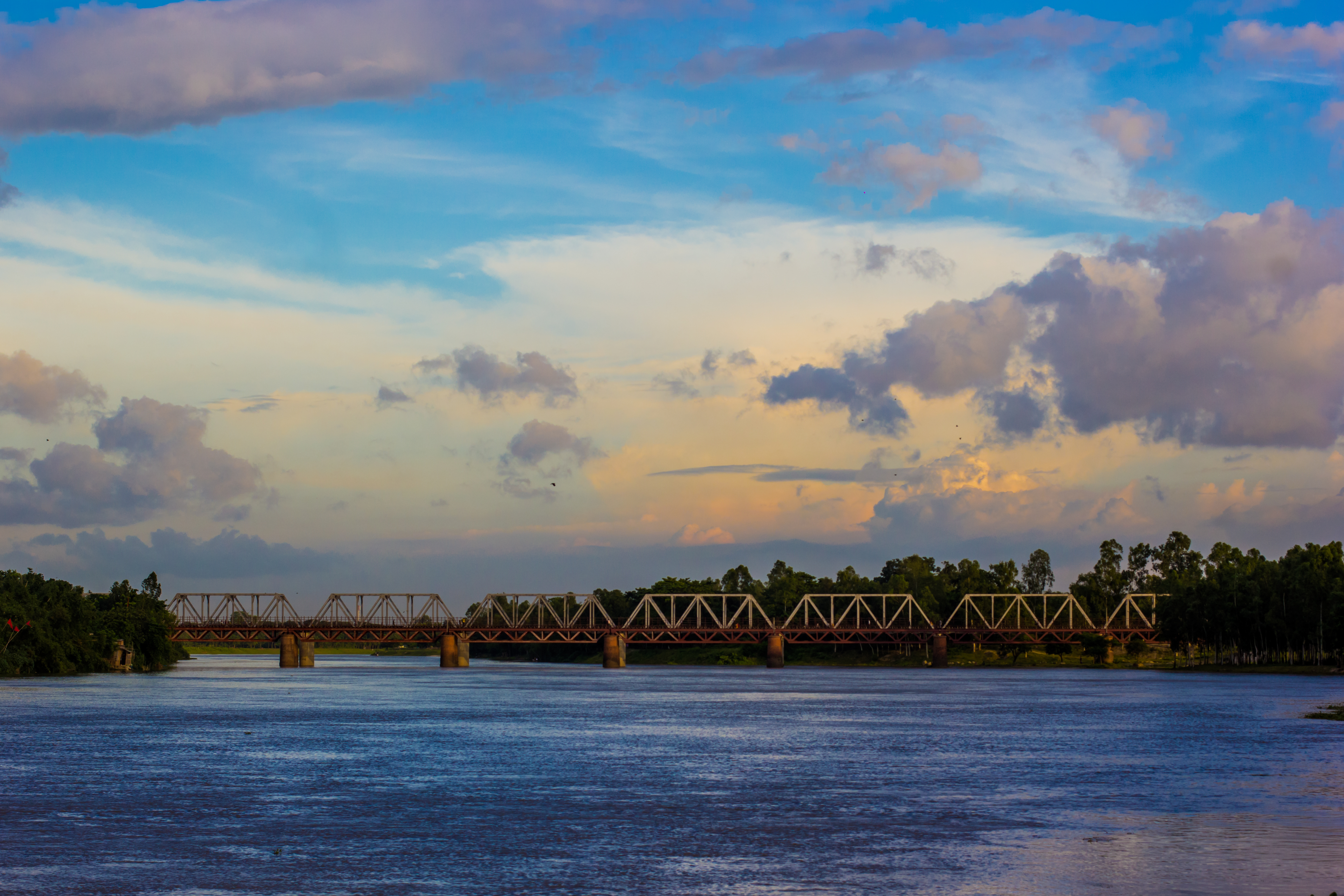
The Small Jamuna River ( bn, ছোট যমুনা নদী) is a river in North Bengal, Bangladesh. In 2007, it was observed that the river might merge with the Jamuna River. It passes through Joypurhat and Naogaon Naogaon ( bn, নওগাঁ ''Nôogã'') is a city and district headquarter of Naogaon District in northern Bangladesh. It is located in the bank of Mini Jamuna river. It is the centre of commerce within the Naogaon District Naogaon Di ... References Rivers of Bangladesh Rivers of Rajshahi Division {{Bangladesh-river-stub ... [...More Info...] [...Related Items...] OR: [Wikipedia] [Google] [Baidu] |
Dinajpur District, Bangladesh
Dinajpur district ( bn, দিনাজপুর জেলা) is a district in the Rangpur Division of northern Bangladesh. Dinajpur is the largest district among all sixteen northern districts of Bangladesh. History Dinajpur was once a part of the ancient state of Pundravardhana. Devkot (now in India) which rotated as the capital of Lakhnauti was located south of Dinajpur town. It is also called "City of Maharajas". An ancient engraved stone, believed to be from the Gupta era, was recovered from the bank of a pond near Sura Masjid in the Ghoraghat Upazila in Dinajpur in 8 October. British Colonial Period The British administrative control in Dinajpur was established in 1786. Dinajpur was the biggest administrative district of undivided Bengal. In 1765, the British got the Dewani of Bengal and in 1772 an English District Collector and Chief of Revenue was appointed in Dinajpur. The area was then notorious for lawlessness. Mr. Marriott was Collector in 1786. Next to him, Mr. ... [...More Info...] [...Related Items...] OR: [Wikipedia] [Google] [Baidu] |
Adamdighi Upazila
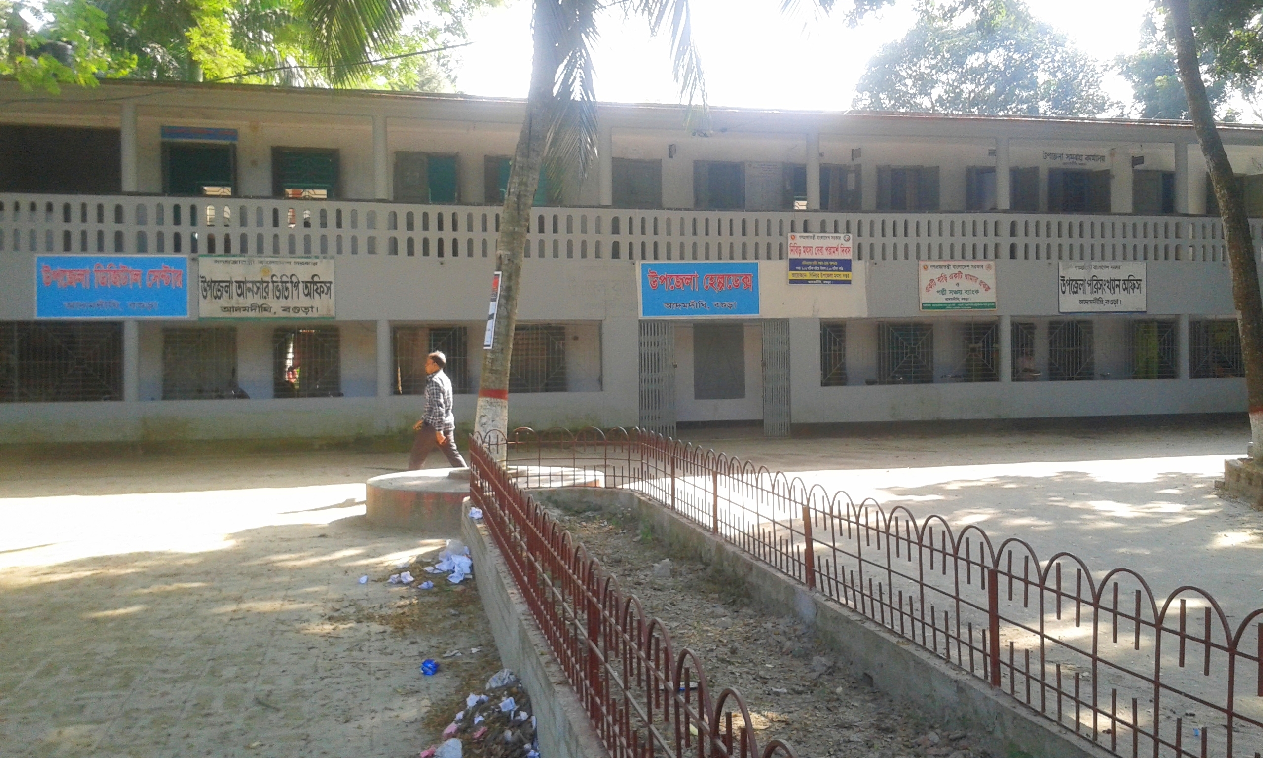
Adamdighi Upazila ( bn, আদমদিঘী উপজেলা) is an upazila of Bogra District in the Division of Rajshahi, Bangladesh. Adamdighi Thana was established in 1821 and was converted into an upazila in 1983. It is named after its administrative center, the town of Adamdighi. The name derives from Adam's Dighi, which means Adam's Tank. Adam was a great Muslim saint or dervish, known as Baba Adam ( bn, বাবা আদম). Etymology Baba Adam is very popular among the people of the locality, and commands as much respect from Hindus as from Muslims. Baba Adam is said to have been a contemporary of the famous Rani Bhabani (1716–1795) of Natore, who it is said, with her characteristics magnanimity had a tank dug at the place and dedicated it to the saintly ''fakir'' in honour of his supernatural powers. This tank, which is a large one, still bears the name of the fakir as ''Adamdighi'' or the Adam's Tank. Geography Adamdighi Upazila has a total area of . It is the ... [...More Info...] [...Related Items...] OR: [Wikipedia] [Google] [Baidu] |


