|
Jade District
The Jade District is an Asian-dominated commercial area and cultural hub radiating outward from Southeast 82nd Avenue and Division Street, in Portland, Oregon, in the United States. It is roughly between Division Street and Powell Boulevard to the north and south, and between SE 75th Avenue and I-205 to the east and west. Part of the Montavilla, Powellhurst-Gilbert, and South Tabor neighborhoods, the district is one of the most diverse census tracts in the state of Oregon. The Jade District was recognized as a Neighborhood Prosperity Initiative in 2013. It is at risk of rapid gentrification. The Jade International Night Market, an annual event held on the last two Saturdays in August, "provides a space to celebrate and recognize the diversity and culture of the communities who live and work in the Jade District and sheds light on the issues impacting a neighborhood in transition." At the corner of 82nd Avenue and Division Street, the site of a former furniture store, Metro M ... [...More Info...] [...Related Items...] OR: [Wikipedia] [Google] [Baidu] |
Commercial Area
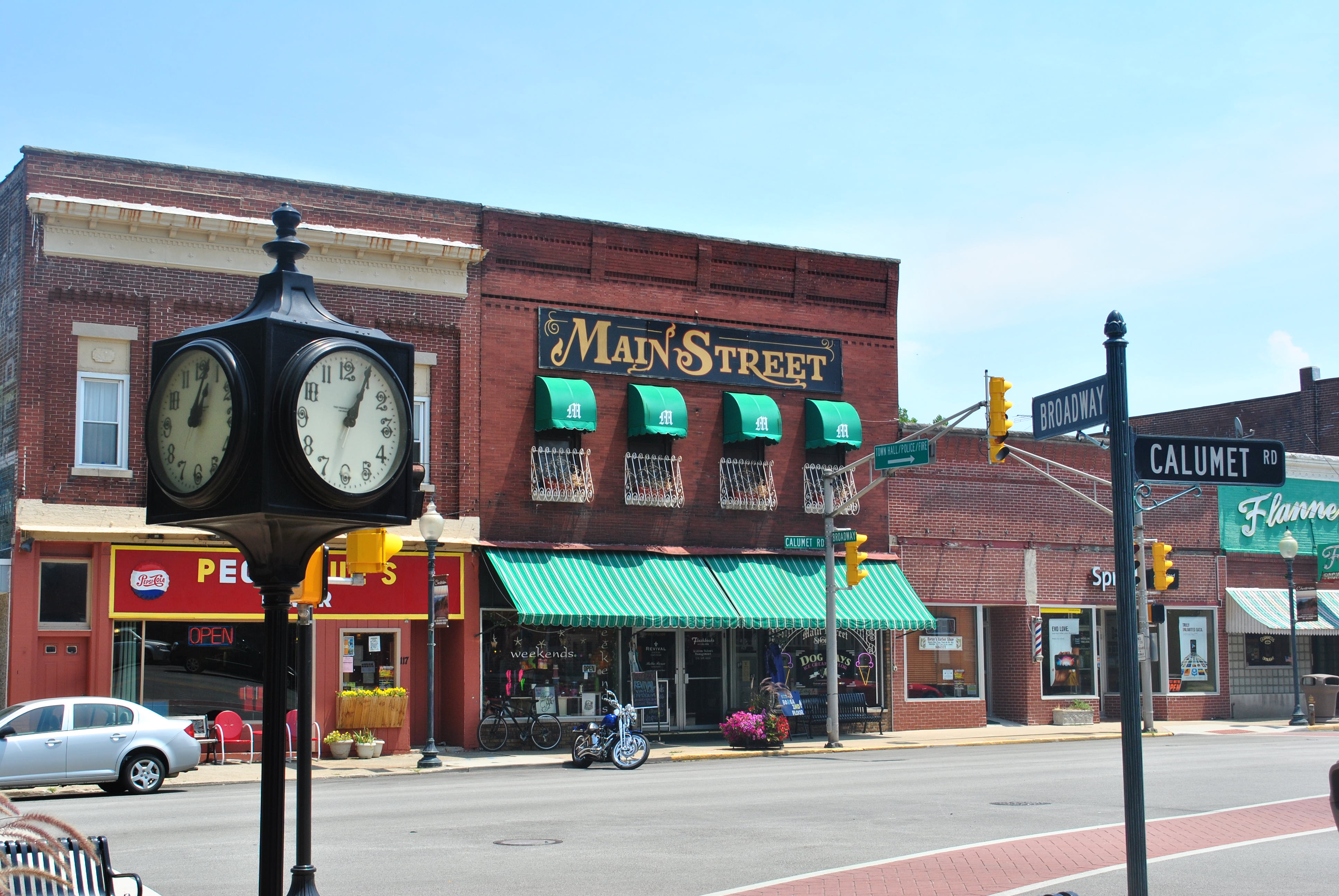
Commercial areas in a city are areas, districts, or neighborhoods primarily composed of commercial buildings, such as a strip mall, office parks, downtown, central business district, financial district, " Main Street", or shopping centers. Commercial activity within cities includes the buying and selling of goods and services in retail businesses, wholesale buying and selling, financial establishments, and a wide variety of uses that are broadly classified as "business." While commercial activities typically take up a relatively small amount of land, they are extremely important to a community's economy. They provide employment, facilitate the circulation of money, and often serve many other roles important to the community, such as public gathering and cultural events. A commercial area is real estate intended for use by for-profit businesses, such as office complexes, shopping malls, service stations, bars and restaurants. It may be purchased outright by a developer for futur ... [...More Info...] [...Related Items...] OR: [Wikipedia] [Google] [Baidu] |
82nd Avenue
82nd Avenue of the Roses (simply 82nd Avenue prior to 2005) is a street in Portland, Oregon, and comprises the northern end of Oregon Route 213, also known as the Cascade Highway. It is one of the longest streets in Portland, running down the entire east side of the city, and extending into suburbs to the south. The street runs from Airport Way Frontage Rd in Northeast Portland, south through Clackamas and Happy Valley, to Interstate 205 in Gladstone. Oregon 213 continues south beyond I-205. Within the city of Portland, it runs through the neighborhoods of Montavilla and Madison South, and it serves as a boundary line for the neighborhoods of Roseway, Cully, Sumner, South Tabor, Foster-Powell, Mt. Scott-Arleta, Brentwood-Darlington, and Lents. It is a highly commercial street that, in many of these neighborhoods, is directly surrounded by dense neighborhoods of primarily single-family homes. The MAX Light Rail serves 82nd Avenue directly at the Interstate 84 overpass, ... [...More Info...] [...Related Items...] OR: [Wikipedia] [Google] [Baidu] |
Portland, Oregon
Portland (, ) is a port city in the Pacific Northwest and the largest city in the U.S. state of Oregon. Situated at the confluence of the Willamette and Columbia rivers, Portland is the county seat of Multnomah County, the most populous county in Oregon. Portland had a population of 652,503, making it the 26th-most populated city in the United States, the sixth-most populous on the West Coast, and the second-most populous in the Pacific Northwest, after Seattle. Approximately 2.5 million people live in the Portland metropolitan statistical area (MSA), making it the 25th most populous in the United States. About half of Oregon's population resides within the Portland metropolitan area. Named after Portland, Maine, the Oregon settlement began to be populated in the 1840s, near the end of the Oregon Trail. Its water access provided convenient transportation of goods, and the timber industry was a major force in the city's early economy. At the turn of the 20th century, the ... [...More Info...] [...Related Items...] OR: [Wikipedia] [Google] [Baidu] |
Interstate 205 (Oregon–Washington)
Interstate 205 (I-205) is an auxiliary Interstate Highway in the Portland metropolitan area of Oregon and Washington, United States. The north–south freeway serves as a bypass route of I-5 along the east side of Portland, Oregon, and Vancouver, Washington. It intersects several major highways and serves Portland International Airport. The freeway is long and connects to I-5 at both of its termini; to the south in Tualatin, Oregon, and to the north in Salmon Creek, Washington. I-205 is named the Veterans Memorial Highway and East Portland Freeway No. 64 in Oregon (see Oregon highways and routes). From Oregon City to Vancouver, the corridor is paralleled by a multi-use bicycle and pedestrian trail, as well as portions of the MAX Light Rail system between Clackamas and northeastern Portland. A freeway to serve as an eastern bypass of Portland and Vancouver was conceived in a 1943 plan for the area, and in the 1950s was included in the federal government's preliminary ... [...More Info...] [...Related Items...] OR: [Wikipedia] [Google] [Baidu] |
Montavilla, Portland, Oregon
Montavilla (a syllabic abbreviation of "Mt. Tabor Village) is a neighborhood in the Northeast and Southeast sections of Portland, Oregon, United States, and contains an area east of Mount Tabor and west of Interstate 205, from the Banfield to SE Division. It is bordered by North Tabor, Mount Tabor, Madison South, Hazelwood, and Powellhurst-Gilbert. History The neighborhood was originally, in the 1890s, named Mount Tabor Village, and was a stopping point for travelers going from Hood River into Portland. The name "Montavilla" originated from the abbreviations used on the streetcar destination signs when streetcars served the area starting in 1892. The name was first abbreviated as "Mt. Ta. Villa", then later as "Monta.Villa". Residents soon adopted the latter name for the neighborhood, written as Montavilla. Streetcar service to Montavilla ended in 1948. A stone milepost marker, the P5 marker, on SE Stark Street at 78th Avenue is left over from the circa 1854 Base Line Ro ... [...More Info...] [...Related Items...] OR: [Wikipedia] [Google] [Baidu] |
Powellhurst-Gilbert, Portland, Oregon
Powellhurst-Gilbert is a neighborhood in the Southeast section of Portland, Oregon. It borders the neighborhoods of Montavilla, Portland, Oregon, Montavilla, Hazelwood, Portland, Oregon, Hazelwood, and Mill Park, Portland, Oregon, Mill Park on the north, Centennial, Portland, Oregon, Centennial on the east, Pleasant Valley, Portland, Oregon, Pleasant Valley on the east and south, and Lents, Portland, Oregon, Lents and South Tabor, Portland, Oregon, South Tabor on the west. According to the Neighborhood Plan, the neighborhood is named after two of its schools: Powellhurst (named in the 1920s after 1850s settler Jackson Powell) and Gilbert (named after William M. Gilbert, an Indiana emigrant who settled in the area c. 1890). Settlement of the community by farmers via the Donation Land Claim Act began in the middle of the 19th century. Rail service to Portland began in 1892, spurring residential development. The resulting suburb was gradually annexed by Portland beginning in the 196 ... [...More Info...] [...Related Items...] OR: [Wikipedia] [Google] [Baidu] |
South Tabor, Portland, Oregon
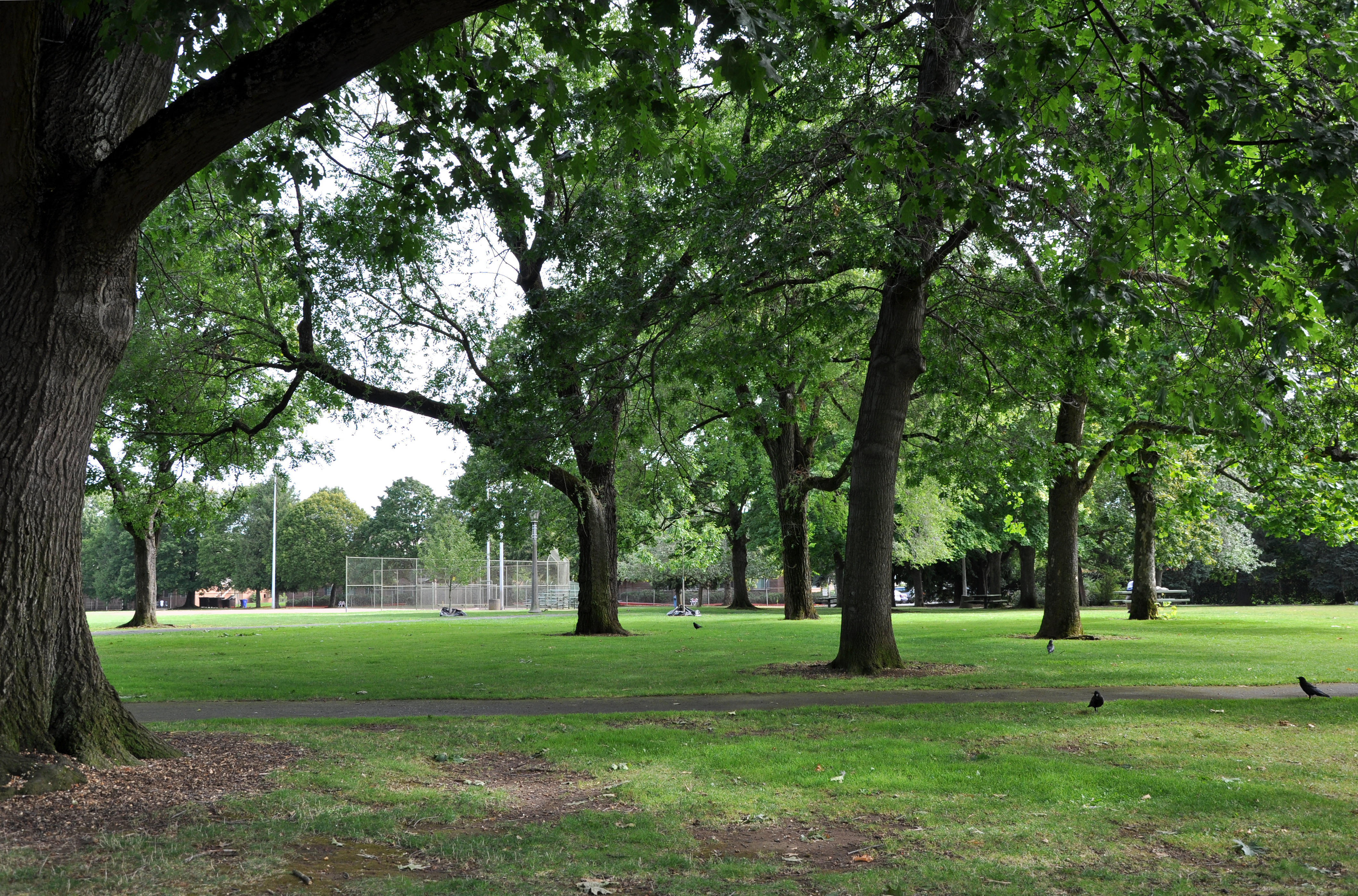
South Tabor is a neighborhood in southeastern Portland, Oregon in the United States. The neighborhood is bounded by SE Division, Powell, 52nd, and 82nd Avenues. Its neighborhood association is a member of the Southeast Uplift coalition, which serves as its link to Portland's Office of Neighborhood Involvement. South Tabor is named for its proximity to Mount Tabor, an extinct volcano and one of Portland's more popular parks. South Tabor is largely residential; all of the neighborhood's businesses are situated on the streets that form its boundaries. South Tabor is currently occupying the land of the Confederated Tribes of Grand Ronde The Confederated Tribes of the Grand Ronde Community of Oregon (CTGR) consists of twenty-seven Native American tribes with long historical ties to present-day western Oregon between the western boundary of the Oregon Coast and the eastern boundar .... Two of Portland's three most dangerous intersections are at the easternmost corners of the nei ... [...More Info...] [...Related Items...] OR: [Wikipedia] [Google] [Baidu] |
Gentrification
Gentrification is the process of changing the character of a neighborhood through the influx of more Wealth, affluent residents and businesses. It is a common and controversial topic in urban politics and urban planning, planning. Gentrification often increases the Value (economics), economic value of a neighborhood, but the resulting Demography, demographic displacement may itself become a major social issue. Gentrification often sees a shift in a neighborhood's racial or ethnic composition and average Disposable household and per capita income, household income as housing and businesses become more expensive and resources that had not been previously accessible are extended and improved. The gentrification process is typically the result of increasing attraction to an area by people with higher incomes spilling over from neighboring cities, towns, or neighborhoods. Further steps are increased Socially responsible investing, investments in a community and the related infrastruct ... [...More Info...] [...Related Items...] OR: [Wikipedia] [Google] [Baidu] |
Metro (Oregon Regional Government)
Metro is the regional government for the Oregon portion of the Portland metropolitan area, covering portions of Clackamas, Multnomah, and Washington Counties. It is the only directly elected regional government and metropolitan planning organization in the United States. Metro is responsible for overseeing the Portland region's solid waste system, general planning of land use and transportation, maintaining certain regional parks and natural areas, and operating the Oregon Zoo, Oregon Convention Center, Portland's Centers for the Arts, and the Portland Expo Center. It also distributes money from two voter-approved tax measures: one for homeless services and one for affordable housing. History and evolution Metro in its current form evolved from Columbia Region Association of Governments (CRAG) (1966–1978) and a predecessor Metropolitan Service District (MSD) (1957–1966). Measure 6, a 1978 statewide ballot measure established Metro, effective January 1, 1979. In 1992 v ... [...More Info...] [...Related Items...] OR: [Wikipedia] [Google] [Baidu] |
Asian-American Culture In Portland, Oregon
Asian Americans are Americans of Asian ancestry (including naturalized Americans who are immigrants from specific regions in Asia and descendants of such immigrants). Although this term had historically been used for all the indigenous peoples of the continent of Asia, the usage of the term "Asian" by the United States Census Bureau only includes people with origins or ancestry from the Far East, Southeast Asia, and the Indian subcontinent and excludes people with ethnic origins in certain parts of Asia, including West Asia who are now categorized as Middle Eastern Americans. The "Asian" census category includes people who indicate their race(s) on the census as "Asian" or reported entries such as "Chinese, Indian, Filipino, Vietnamese, Indonesian, Korean, Japanese, Pakistani, Malaysian, and Other Asian". In 2020, Americans who identified as Asian alone (19,886,049) or in combination with other races (4,114,949) made up 7.2% of the U.S. population. Chinese, Indian, and Filipi ... [...More Info...] [...Related Items...] OR: [Wikipedia] [Google] [Baidu] |
Geography Of Portland, Oregon
Portland (, ) is a port city in the Pacific Northwest and the largest city in the U.S. state of Oregon. Situated at the confluence of the Willamette and Columbia rivers, Portland is the county seat of Multnomah County, the most populous county in Oregon. Portland had a population of 652,503, making it the 26th-most populated city in the United States, the sixth-most populous on the West Coast, and the second-most populous in the Pacific Northwest, after Seattle. Approximately 2.5 million people live in the Portland metropolitan statistical area (MSA), making it the 25th most populous in the United States. About half of Oregon's population resides within the Portland metropolitan area. Named after Portland, Maine, the Oregon settlement began to be populated in the 1840s, near the end of the Oregon Trail. Its water access provided convenient transportation of goods, and the timber industry was a major force in the city's early economy. At the turn of the 20th century, the ... [...More Info...] [...Related Items...] OR: [Wikipedia] [Google] [Baidu] |


