|
Iza-Paipa Volcanic Complex
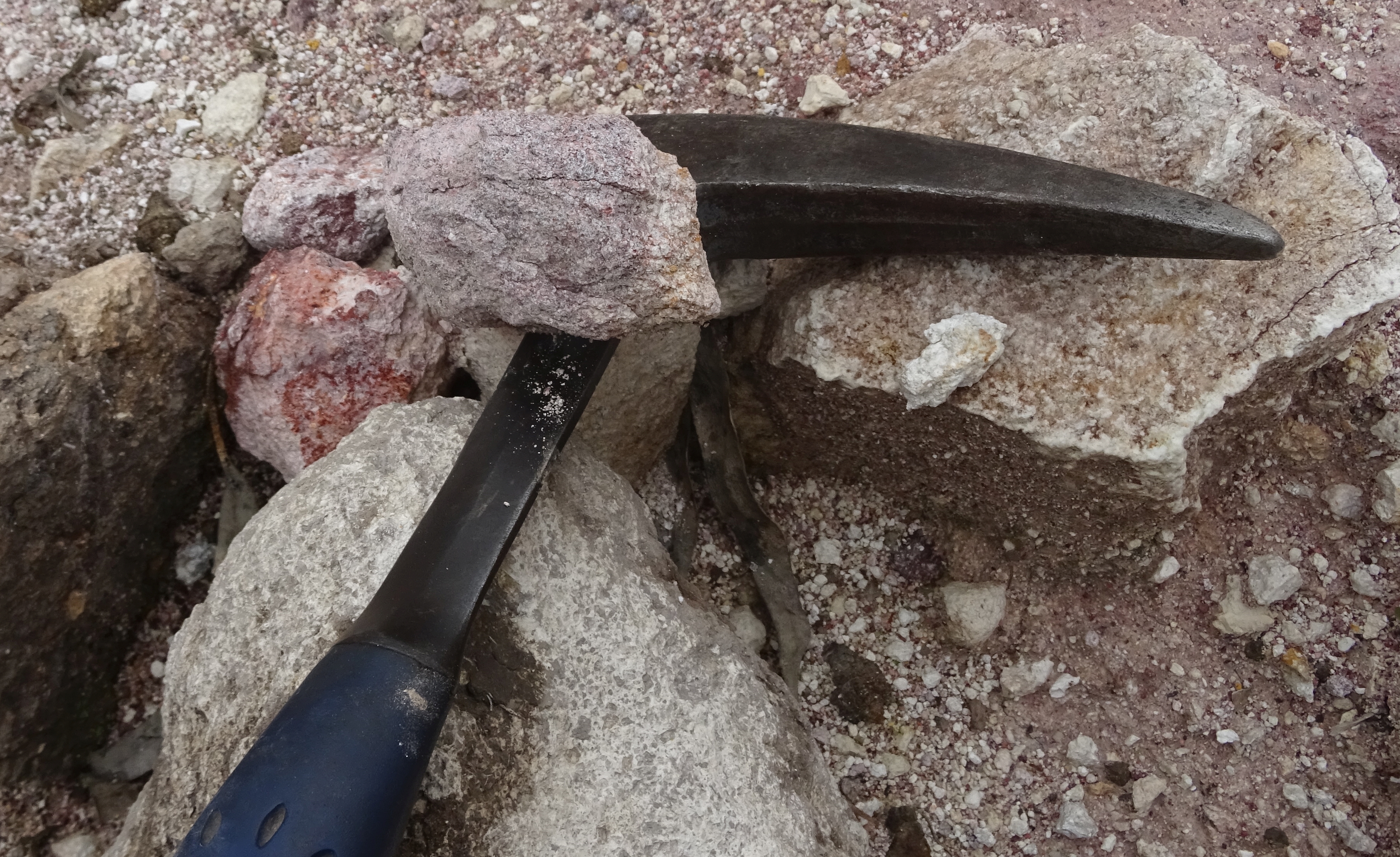
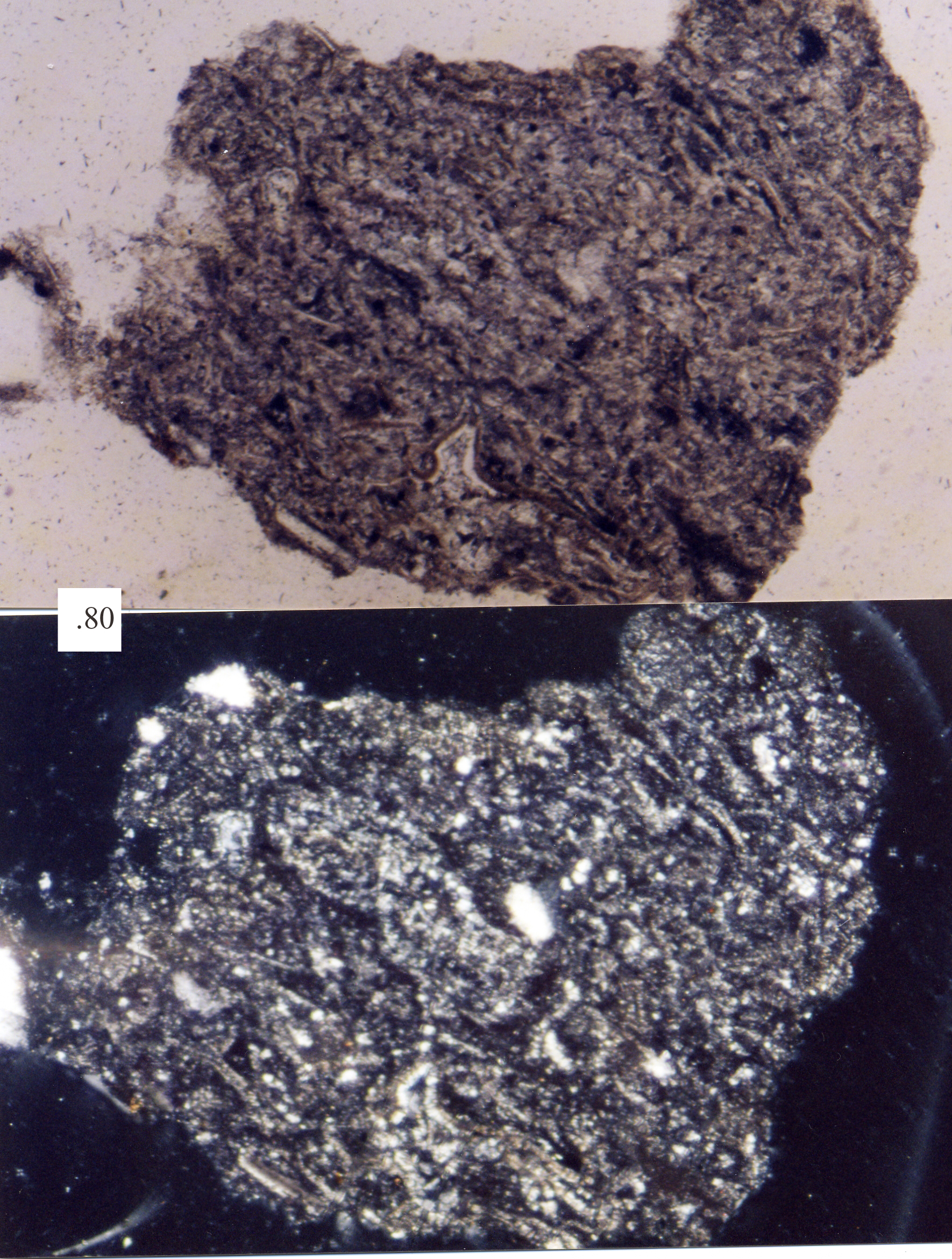
The Paipa–Iza volcanic complex is a volcanic field of Late Pliocene to Early Pleistocene age on the Altiplano Cundiboyacense in the Eastern Ranges of the Colombian Andes. It is the northernmost volcanic complex of the Andean Volcanic Belt with Fueguino in Tierra del Fuego, Chile, at the opposite end of the Andean mountain belt. The complex, comprising mainly felsic extrusive volcanic rocks as rhyolites, also is the only confirmed volcanic province in the Eastern Ranges, with traces of probably contemporaneous explosive volcanic activity in the vicinity of Guatavita, Cundinamarca. The Paipa-Iza volcanic field is important as a touristic site with thermal baths in both Paipa and Iza and is being studied for the potential of geothermal energy production and for the extraction of uranium in the area. Etymology The names Paipa and Iza originate in Muysccubun, the language of the indigenous Muisca, who inhabited the Altiplano Cundiboyacense before the Spanish conquest. Paipa was ... [...More Info...] [...Related Items...] OR: [Wikipedia] [Google] [Baidu] |
Paipa
Paipa is a town and municipality in the Tundama Province, a part of the Colombian department of Boyacá. Paipa borders Duitama, Firavitoba, Tibasosa, Sotaquirá and Tuta.Official website Paipa Geography Paipa is located 15 km west of and to the northeast of , the capital of the department, in the Cordillera Oriental (Eastern Ranges) of the Colombian |
Volcanic Field
A volcanic field is an area of Earth's crust that is prone to localized volcanic activity. The type and number of volcanoes required to be called a "field" is not well-defined. Volcanic fields usually consist of clusters of up to 100 volcanoes such as cinder cones. Lava flows may also occur. They may occur as a monogenetic volcanic field or a polygenetic volcanic field. Description Alexander von Humboldt observed in 1823 that geologically young volcanoes are not distributed uniformly across the Earth's surface, but tend to be clustered into specific regions. Young volcanoes are rarely found within cratons, but are characteristic of subduction zones, rift zones, or in ocean basins. Intraplate volcanoes are clustered along hotspot traces. Within regions of volcanic activity, volcanic fields are clusters of volcanoes that share a common magma source. Scoria cones are particularly prone to cluster into volcanic fields, which are typically in diameter and consist of several tens ... [...More Info...] [...Related Items...] OR: [Wikipedia] [Google] [Baidu] |
Muisca
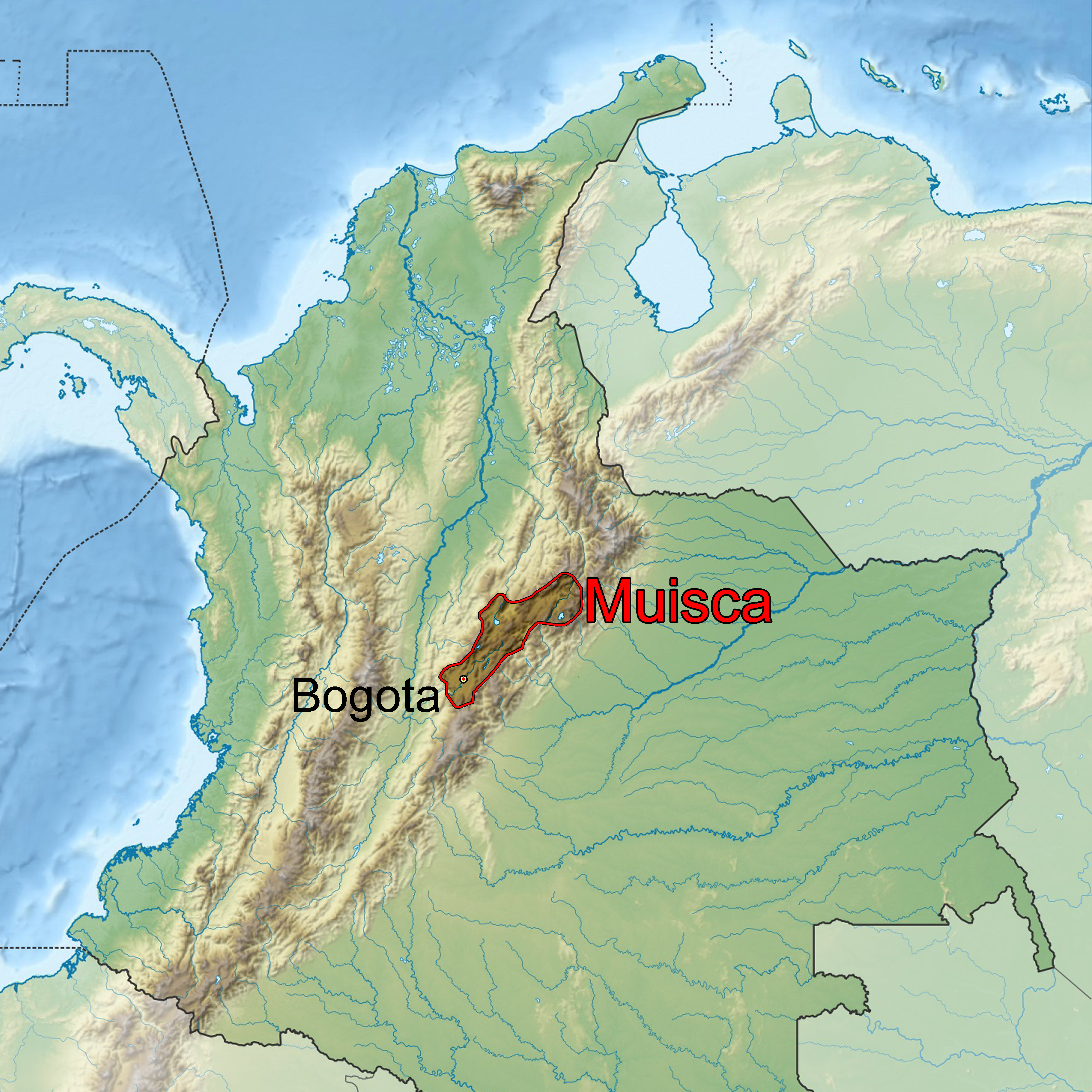
The Muisca (also called Chibcha) are an indigenous people and culture of the Altiplano Cundiboyacense, Colombia, that formed the Muisca Confederation before the Spanish conquest. The people spoke Muysccubun, a language of the Chibchan language family, also called ''Muysca'' and ''Mosca''. They were encountered by conquistadors dispatched by the Spanish Empire in 1537 at the time of the conquest. Subgroupings of the Muisca were mostly identified by their allegiances to three great rulers: the ''hoa'', centered in Hunza, ruling a territory roughly covering modern southern and northeastern Boyacá and southern Santander; the '' psihipqua'', centered in Muyquytá and encompassing most of modern Cundinamarca, the western Llanos; and the '' iraca'', religious ruler of Suamox and modern northeastern Boyacá and southwestern Santander. The territory of the Muisca spanned an area of around from the north of Boyacá to the Sumapaz Páramo and from the summits to the western p ... [...More Info...] [...Related Items...] OR: [Wikipedia] [Google] [Baidu] |
Chibcha Language
Chibcha, Mosca, Muisca, Muysca (*/ˈmɨska/), or Muysca de Bogotá, was a language spoken by the Muisca people of the Muisca Confederation, one of the many Indigenous peoples in Colombia, indigenous List of pre-Columbian cultures, cultures of the Americas. The Muisca inhabited the Altiplano Cundiboyacense of what today is the country of Colombia. The name of the language ''Muysc Cubun'' in its own language means "language of the people", from ''muysca'' ("people") and ''cubun'' ("language" or "word"). Despite the disappearance of the language in the 17th century (approximately), several language revitalization processes are underway within the current Muisca communities. The Muisca people remain ethnically distinct and their communities are recognized by the Colombian state. Important List of Muisca scholars, scholars who have contributed to the knowledge of the Chibcha language include Juan de Castellanos, Bernardo de Lugo, José Domingo Duquesne and Ezequiel Uricoechea. His ... [...More Info...] [...Related Items...] OR: [Wikipedia] [Google] [Baidu] |
Uranium
Uranium is a chemical element with the symbol U and atomic number 92. It is a silvery-grey metal in the actinide series of the periodic table. A uranium atom has 92 protons and 92 electrons, of which 6 are valence electrons. Uranium is weakly radioactive because all isotopes of uranium are unstable; the half-lives of its naturally occurring isotopes range between 159,200 years and 4.5 billion years. The most common isotopes in natural uranium are uranium-238 (which has 146 neutrons and accounts for over 99% of uranium on Earth) and uranium-235 (which has 143 neutrons). Uranium has the highest atomic weight of the primordially occurring elements. Its density is about 70% higher than that of lead, and slightly lower than that of gold or tungsten. It occurs naturally in low concentrations of a few parts per million in soil, rock and water, and is commercially extracted from uranium-bearing minerals such as uraninite. In nature, uranium is found as uranium-238 (99. ... [...More Info...] [...Related Items...] OR: [Wikipedia] [Google] [Baidu] |
Geothermal Energy
Geothermal energy is the thermal energy in the Earth's crust which originates from the formation of the planet and from radioactive decay of materials in currently uncertain but possibly roughly equal proportions. The high temperature and pressure in Earth's interior cause some rock to melt and solid mantle to behave plastically. This results in parts of the mantle convecting upward since it is lighter than the surrounding rock. Temperatures at the core–mantle boundary can reach over 4000 °C (7200 °F). Geothermal heating, using water from hot springs, for example, has been used for bathing since Paleolithic times and for space heating since ancient Roman times. More recently geothermal power, the term used for generation of electricity from geothermal energy, has gained in importance. It is estimated that the earth's geothermal resources are theoretically more than adequate to supply humanity's energy needs, although only a very small fraction is currently being ... [...More Info...] [...Related Items...] OR: [Wikipedia] [Google] [Baidu] |
Guatavita
Guatavita is a municipality and town of Colombia in the Guavio Province of the department of Cundinamarca. Guatavita is located 75 km northeast of the capital Bogotá. It borders Sesquilé and Machetá in the north, Gachetá and Junín in the east, Guasca in the south and in the west are Tocancipá and Gachancipá.Official website Guatavita - accessed 05-05-2016 History Before the on the , the central plateau in the Colombian |
Felsic
In geology, felsic is a modifier describing igneous rocks that are relatively rich in elements that form feldspar and quartz.Marshak, Stephen, 2009, ''Essentials of Geology,'' W. W. Norton & Company, 3rd ed. It is contrasted with mafic rocks, which are relatively richer in magnesium and iron. Felsic refers to silicate minerals, magma, and rocks which are enriched in the lighter elements such as silicon, oxygen, aluminium, sodium, and potassium. Felsic magma or lava is higher in viscosity than mafic magma/lava. Felsic rocks are usually light in color and have specific gravities less than 3. The most common felsic rock is granite. Common felsic minerals include quartz, muscovite, orthoclase, and the sodium-rich plagioclase feldspars (albite-rich). Terminology In modern usage, the term ''acid rock'', although sometimes used as a synonym, normally now refers specifically to a high-silica-content (greater than 63% SiO2 by weight) volcanic rock, such as rhyolite. Older, broader usage ... [...More Info...] [...Related Items...] OR: [Wikipedia] [Google] [Baidu] |
Chile
Chile, officially the Republic of Chile, is a country in the western part of South America. It is the southernmost country in the world, and the closest to Antarctica, occupying a long and narrow strip of land between the Andes to the east and the Pacific Ocean to the west. Chile covers an area of , with a population of 17.5 million as of 2017. It shares land borders with Peru to the north, Bolivia to the north-east, Argentina to the east, and the Drake Passage in the far south. Chile also controls the Pacific islands of Juan Fernández, Isla Salas y Gómez, Desventuradas, and Easter Island in Oceania. It also claims about of Antarctica under the Chilean Antarctic Territory. The country's capital and largest city is Santiago, and its national language is Spanish. Spain conquered and colonized the region in the mid-16th century, replacing Inca rule, but failing to conquer the independent Mapuche who inhabited what is now south-central Chile. In 1818, after declaring in ... [...More Info...] [...Related Items...] OR: [Wikipedia] [Google] [Baidu] |
Tierra Del Fuego
Tierra del Fuego (, ; Spanish for "Land of the Fire", rarely also Fireland in English) is an archipelago off the southernmost tip of the South American mainland, across the Strait of Magellan. The archipelago consists of the main island, Isla Grande de Tierra del Fuego, with an area of , and a group of many islands, including Cape Horn and Diego Ramírez Islands. Tierra del Fuego is divided between Chile and Argentina, with the latter controlling the eastern half of the main island and the former the western half plus the islands south of Beagle Channel and the southernmost islands. The southernmost extent of the archipelago is just north of latitude 56°S. The earliest known human settlement in Tierra del Fuego dates to approximately 8,000 BC. Europeans first explored the islands during Ferdinand Magellan's expedition of 1520. ''Tierra del Fuego'' and similar namings stem from sightings of the many bonfires that the natives built. Settlement by those of European descent and ... [...More Info...] [...Related Items...] OR: [Wikipedia] [Google] [Baidu] |
Fueguino
Fueguino is a volcanic field in Chile. The southernmost volcano in the Andes, it lies on Tierra del Fuego's Cook Island and also extends over nearby Londonderry Island. The field is formed by lava domes, pyroclastic cones, and a crater lake. Volcanic activity at Fueguino is part of the Austral Volcanic Zone, which is formed by the subduction of the Antarctic Plate beneath the South America Plate. The subducting plate has not reached a depth sufficient for proper volcanic arc volcanism, however. The field bears no trace of glacial erosion on its volcanoes, and reports exist of volcanic activity in 1712, 1820 and 1926. Geography and geology Fueguino volcano lies in the commune of Cabo de Hornos, Chile. Cities in the region are Rio Gallegos, Puerto Natales, Punta Arenas, Rio Grande and Ushuaia. Regional Fueguino is the southernmost volcano in the Andes. The volcano to the north is Monte Burney, which lies northwest of Fueguino. Both volcanoes belong to the Austral Volcanic ... [...More Info...] [...Related Items...] OR: [Wikipedia] [Google] [Baidu] |


