|
Interstate 80N In Idaho
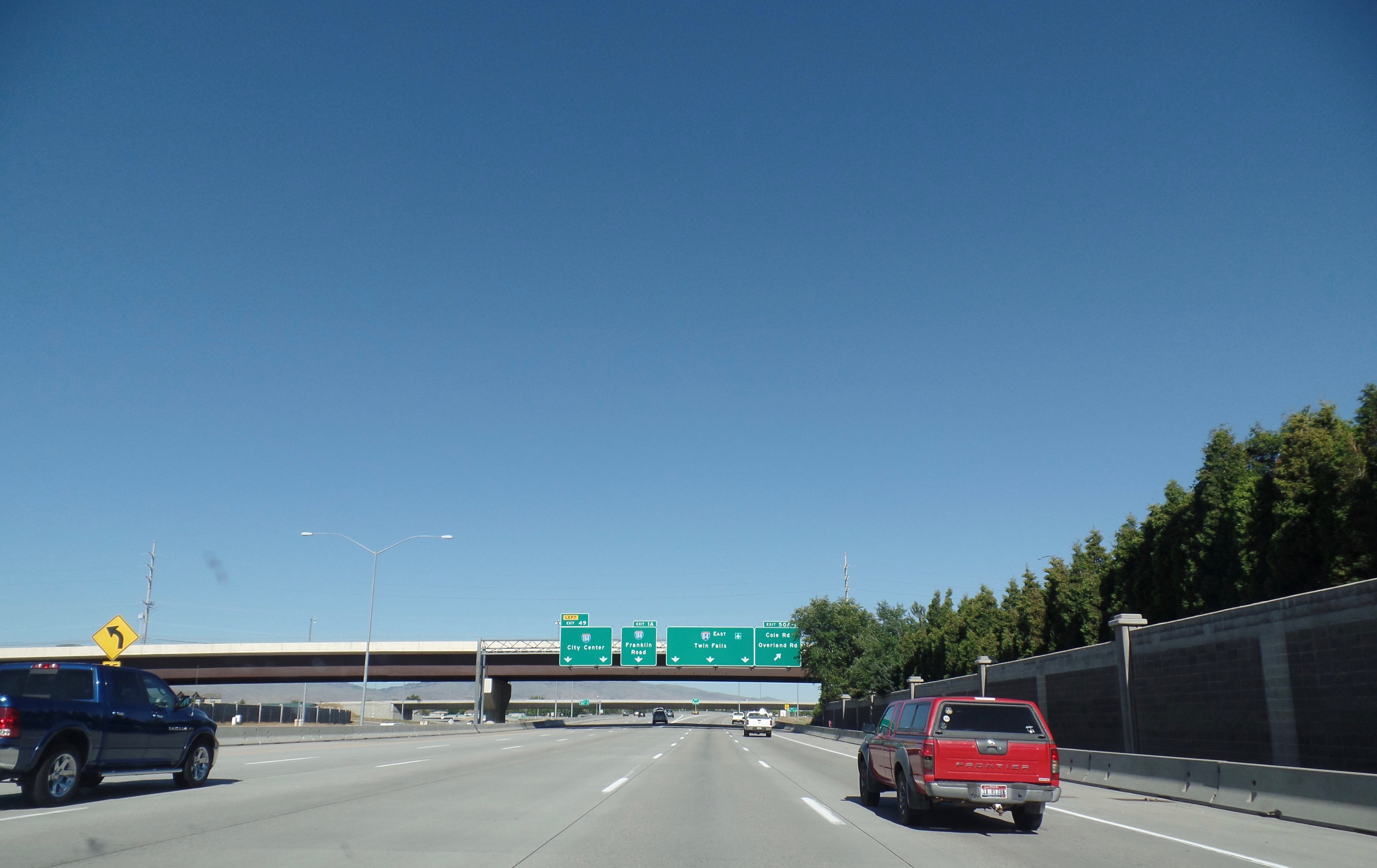
Interstate 84 (I-84) in the U.S. state of Idaho is a major Interstate Highway that traverses the state from the Oregon state line in the northwest to Utah state line in the southeast. It primarily follows the Snake River across a plain that includes the cities of Boise, Mountain Home, and Twin Falls. The highway is one of the busiest in Idaho and is designated as the Vietnam Veterans Memorial Highway. I-84 runs for within Idaho, beginning near Ontario, Oregon, and traveling concurrent with several U.S. routes through the Boise metropolitan area and Mountain Home towards Twin Falls. I-84 splits away from US 30 and the Snake River at a junction with I-86 near Declo, where it turns southeast to cross the Sublett Range into northern Utah. The highway has an auxiliary route, I-184, which serves downtown Boise. Route description I-84 is the longest Interstate highway in Idaho, running for and connecting several of the state's largest metropolitan areas. It has a s ... [...More Info...] [...Related Items...] OR: [Wikipedia] [Google] [Baidu] |
Idaho Transportation Department
The Idaho Transportation Department (ITD) is the state of Idaho governmental organization responsible for state transportation infrastructure. This includes ongoing operations and maintenance as well as planning for future needs of the state and its citizens. The agency is responsible for overseeing the disbursement of federal, state, and grant funding for transportation programs in the state. Overview Idaho's state transportation system consists of more than (lane miles) of roads, more than 1,800 bridges, approximately of rail lines, 126 public-use airports, and the Port of Lewiston. The agency is also responsible for 29 rest areas and 12 ports of entry. History The Idaho Legislature created the State Highway Commission in 1913. The group consisted of the Secretary of State, the State Engineer and three other members to be appointed by the governor. The Commission was empowered to: *plan, build and maintain new state highways *alter, improve or dis ... [...More Info...] [...Related Items...] OR: [Wikipedia] [Google] [Baidu] |
Cassia County, Idaho
Cassia County is a county in the U.S. state of Idaho. As of the 2020 Census the county had a population of 24,655. The county seat and largest city is Burley. Cassia County is included in the Burley, ID Micropolitan Statistical Area. History The first Europeans explored the Milner area in Cassia County in 1811. It was trappers who initially developed the Oregon Trail, which ran on the county's northern border. The Raft River's junction with the Oregon Trail marked the split for the California Trail. While the Oregon and California trails brought hundreds of thousands of emigrants through Cassia County, it also brought settlers. A stage line through the county was established between Kelton, Utah and Boise, Idaho in 1869. A stage station existed at City of Rocks. Additional stations were spaced at increments of 10–12 miles between stations to include one at Oakley Meadows, in the Goose Creek valley two miles west of the present settlement of Oakley. William Oakley settled a ... [...More Info...] [...Related Items...] OR: [Wikipedia] [Google] [Baidu] |
Interstate 184
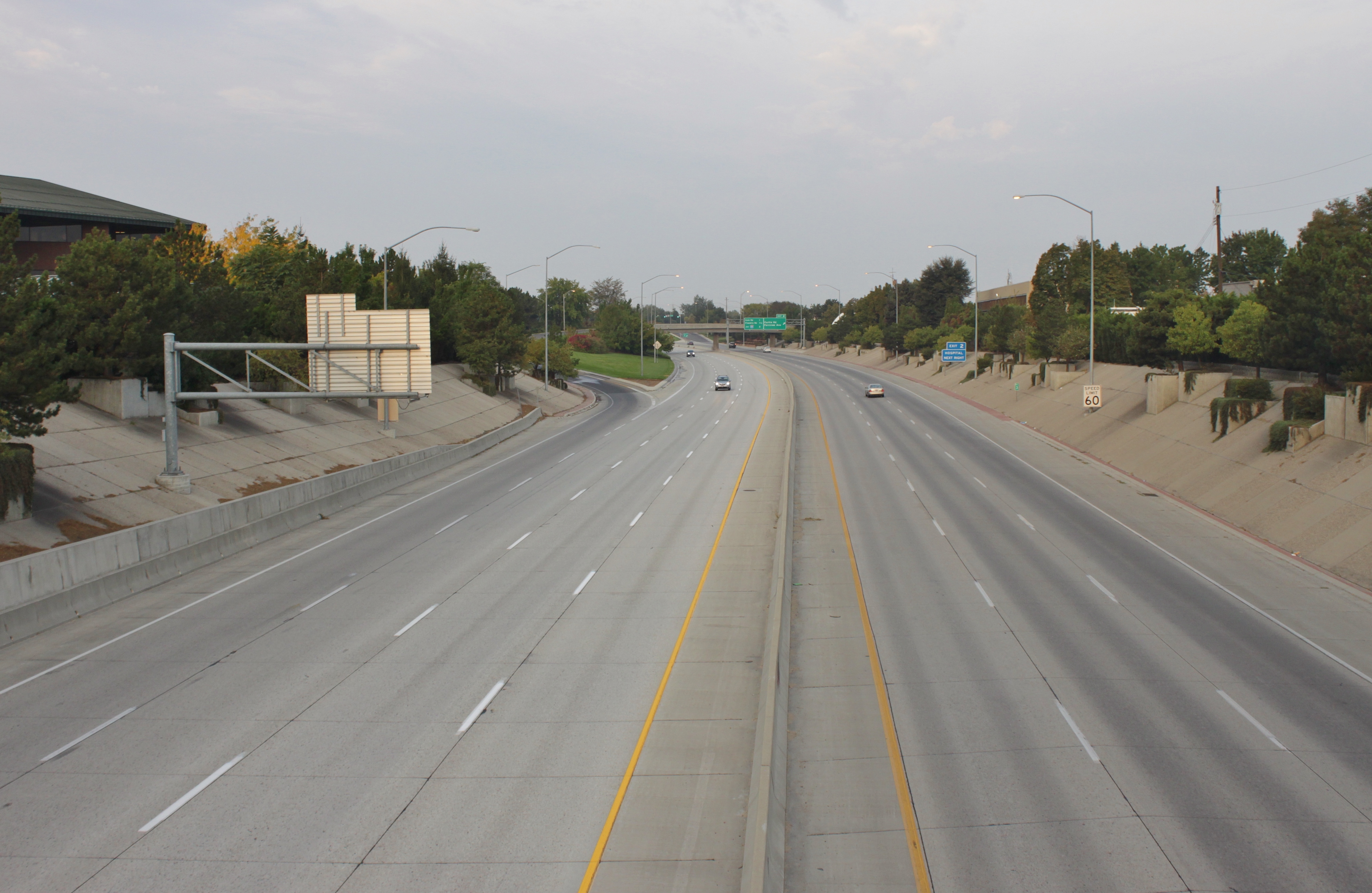
Interstate 184 (I-184) is a short auxiliary Interstate Highway in Boise, Idaho, United States. It is a spur route of I-84 that connects the freeway to Downtown Boise, terminating at US Highway 20 (US 20) and US 26. Route description I-184, also known as the Boise Connector, begins at the "Flying Wye" interchange with I-84 and US 30 in southwestern Boise. The six-lane freeway travels northeast through suburban Boise, crossing over a spur railroad near an interchange with Franklin Street on the south side of the Boise Towne Square shopping mall. I-184 intersects Curtis Road near the Saint Alphonsus Regional Medical Center and turns due east along Fairview Avenue, which acts as a frontage road. On the west side of the Boise River in Rotary Park, I-184 terminates after an interchange with US 20 and US 26, which serve northwestern Boise on Chinden Boulevard. US 20 and US 26 supersede I-184 and cross into Downtown Boise, where it ... [...More Info...] [...Related Items...] OR: [Wikipedia] [Google] [Baidu] |
Sublett Range
The Sublett Range is a mountain range in the U.S. states of Idaho (~94%) and Utah (~6%), spanning Cassia, Oneida, and Power counties, Idaho and reaching into Box Elder County, Utah. The Phosphoria Formation reaches its greatest thickness beneath the mountains.Blatt, Harvey and Robert J. Tracy, ''Petrology'', Freeman, 1996, 2nd ed. pp. 345-349 The highest point in the range is known as the Sublett Range High Point at , and the range is a part of the Basin and Range Province. The northern part of the mountains are part of the Sublett Division of the Minidoka Ranger District of Sawtooth National Forest. The range was named after the trapper William Sublette, who lived in the area in the 1830s. The Raft River and Black Pine mountains are southwest of the range, while the Albion Mountains are to the west. The northern part of the mountains are in the Snake River watershed, which is a tributary of the Columbia River, while the southern section drains to the Great Salt Lake. The town ... [...More Info...] [...Related Items...] OR: [Wikipedia] [Google] [Baidu] |
Interstate 86 (Idaho)
Interstate 86 (I-86) is an east–west intrastate Interstate Highway located entirely within the state of Idaho. It runs approximately from an intersection with I-84 east of Declo in rural Cassia County, to an intersection with I-15 in Chubbuck, just north of Pocatello. The highway is part of the main route from Boise and Twin Falls to Idaho Falls and the upper Snake River region. I-86 runs through a sparsely populated region along the south side of the Snake River and is mostly concurrent with US Highway 30 (US-30), which it replaced in the 1970s. It passes through American Falls at its midpoint and has a business route that serves the city center. The highway also serves Minidoka National Wildlife Refuge, Massacre Rocks State Park, the Fort Hall Indian Reservation, and Pocatello Regional Airport. The highway follows a section of the historic Oregon Trail, which was paved and incorporated into US-30N in 1926. Under the original numbering proposal for the I ... [...More Info...] [...Related Items...] OR: [Wikipedia] [Google] [Baidu] |
Boise Metropolitan Area
The Boise–Nampa, Idaho Metropolitan Statistical Area (MSA) (commonly known as the Boise Metropolitan Area or the Treasure Valley) is an area that encompasses Ada, Boise, Canyon, Gem, and Owyhee counties in southwestern Idaho, anchored by the cities of Boise and Nampa. It is the main component of the wider Boise–Mountain Home–Ontario, ID–OR Combined Statistical Area, which adds Elmore and Payette counties in Idaho and Malheur County, Oregon. It is the state's largest officially designated metropolitan area and includes Idaho's three largest cities: Boise, Nampa, and Meridian. Nearly 40 percent of Idaho's total population lives in the area. As of the 2021 estimate, the Boise–Nampa, Idaho Metropolitan Statistical Area (MSA) had a population of 795,268, while the larger Boise City–Mountain Home–Ontario, ID–OR Combined Statistical Area (CSA) had a population of 850,341. The metro area is currently the third largest in the U.S. section of the Pacific Northwest afte ... [...More Info...] [...Related Items...] OR: [Wikipedia] [Google] [Baidu] |
United States Numbered Highway
The United States Numbered Highway System (often called U.S. Routes or U.S. Highways) is an integrated network of roads and highways numbered within a nationwide grid in the contiguous United States. As the designation and numbering of these highways were coordinated among the states, they are sometimes called Federal Highways, but the roadways were built and have always been maintained by state or local governments since their initial designation in 1926. The route numbers and locations are coordinated by the American Association of State Highway and Transportation Officials (AASHTO). The only federal involvement in AASHTO is a nonvoting seat for the United States Department of Transportation. Generally, most north-to-south highways are odd-numbered, with the lowest numbers in the east and the highest in the west, while east-to-west highways are typically even-numbered, with the lowest numbers in the north, and the highest in the south, though the grid guidelines are not rigid ... [...More Info...] [...Related Items...] OR: [Wikipedia] [Google] [Baidu] |
Concurrency (road)
A concurrency in a road network is an instance of one physical roadway bearing two or more different route numbers. When two roadways share the same right-of-way, it is sometimes called a common section or commons. Other terminology for a concurrency includes overlap, coincidence, duplex (two concurrent routes), triplex (three concurrent routes), multiplex (any number of concurrent routes), dual routing or triple routing. Concurrent numbering can become very common in jurisdictions that allow it. Where multiple routes must pass between a single mountain crossing or over a bridge, or through a major city, it is often economically and practically advantageous for them all to be accommodated on a single physical roadway. In some jurisdictions, however, concurrent numbering is avoided by posting only one route number on highway signs; these routes disappear at the start of the concurrency and reappear when it ends. However, any route that becomes unsigned in the middle of the concurren ... [...More Info...] [...Related Items...] OR: [Wikipedia] [Google] [Baidu] |
Ontario, Oregon
Ontario is the largest city in Malheur County, Oregon, United States. It lies along the Snake River at the Idaho border. The population was 11,366 at the 2010 census. The city is the largest community in the region of far eastern Oregon, also known as the Western Treasure Valley. Ontario is the principal city of the Ontario, OR-ID Micropolitan Statistical Area, which includes Malheur County in Oregon and Payette County in Idaho. Ontario is approximately halfway between Portland and Salt Lake City. It is the closest city to the Idaho border along Interstate 84. The city's slogan is "Where Oregon Begins". History Ontario was founded on 11 June 1883, by developers William Morfitt, Mary Richardson, Daniel Smith, and James Virtue. In March 1884, Richard Welch started a post office for the quarter of Ontario, so named by James Virtue after Ontario, Canada. Two months later Joseph Morton applied for a Morton post office at an island about one mile south of town, with Os ... [...More Info...] [...Related Items...] OR: [Wikipedia] [Google] [Baidu] |
Boise
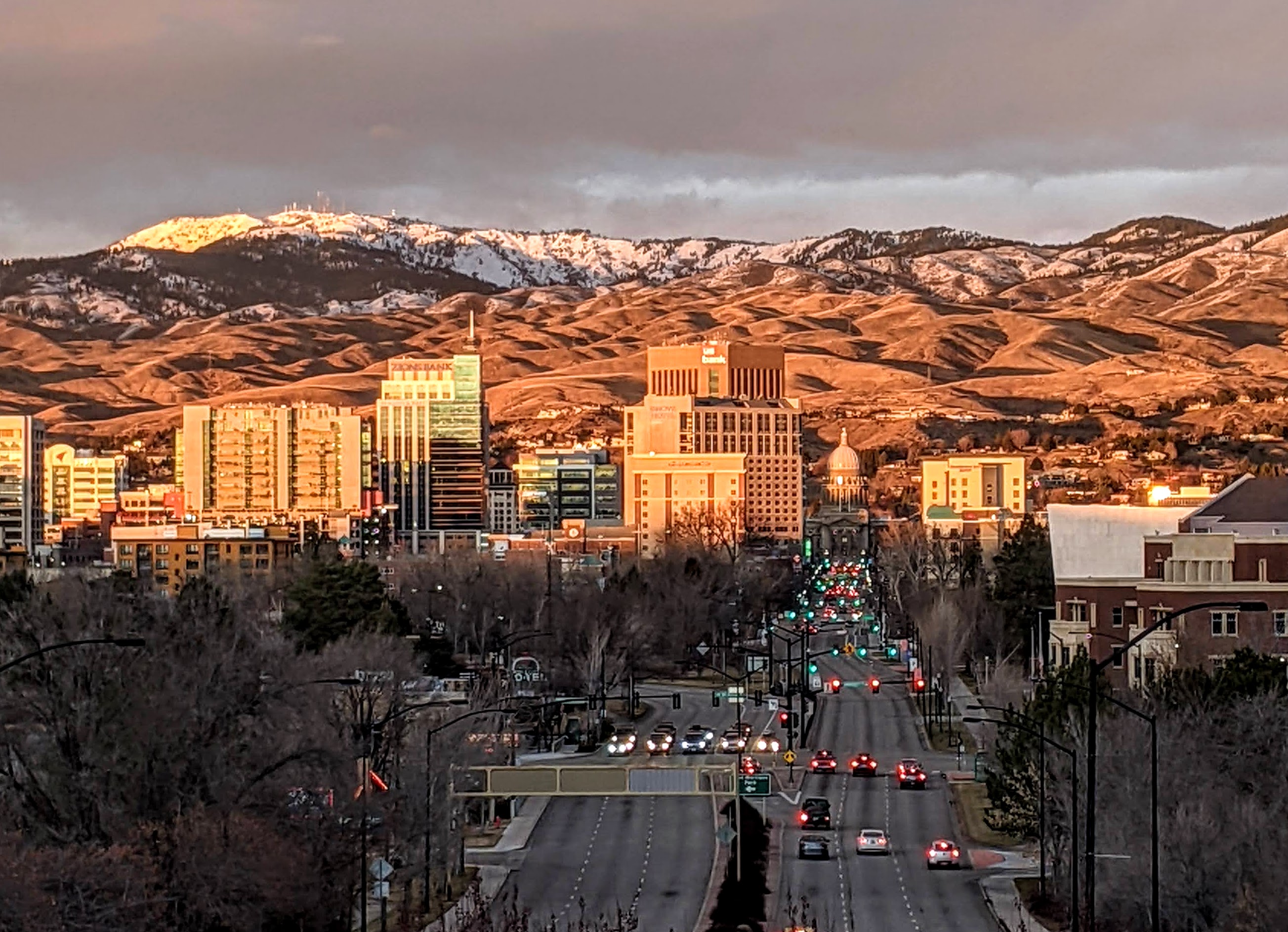
Boise (, , ) is the capital and most populous city of the U.S. state of Idaho and is the county seat of Ada County. On the Boise River in southwestern Idaho, it is east of the Oregon border and north of the Nevada border. The downtown area's elevation is above sea level. The population according to the 2020 US Census was 235,684. The Boise metropolitan area, also known as the Treasure Valley, includes five counties with a combined population of 749,202, the most populous metropolitan area in Idaho. It contains the state's three largest cities: Boise, Nampa, and Meridian. Boise is the 77th most populous metropolitan statistical area in the United States. Downtown Boise is the cultural center and home to many small businesses and a number of high-rise buildings. The area has a variety of shops and restaurants. Centrally, 8th Street contains a pedestrian zone with sidewalk cafes and restaurants. The neighborhood has many local restaurants, bars, and boutiques. The area also ... [...More Info...] [...Related Items...] OR: [Wikipedia] [Google] [Baidu] |
Snake River Plain
image:Snake River view near Twin Falls, Idaho.jpg, The Snake River cutting through the plain leaves many canyons and Canyon#List of gorges, gorges, such as this one near Twin Falls, Idaho The Snake River Plain is a geology, geologic feature located primarily within the U.S. state of Idaho. It stretches about westward from northwest of the state of Wyoming to the Idaho-Oregon border. The plain is a wide, flat bow-shaped depression and covers about a quarter of Idaho. Three major volcanic buttes dot the plain east of Arco, Idaho, Arco, the largest being Big Southern Butte. Most of Idaho's major cities are in the Snake River Plain, as is much of its agricultural land. Geology The Snake River Plain can be divided into three sections: western, central, and eastern. The western Snake River Plain is a large tectonic graben or rift valley filled with several kilometers of lacustrine (lake) sediments; the sediments are underlain by rhyolite and basalt, and overlain by basalt. The w ... [...More Info...] [...Related Items...] OR: [Wikipedia] [Google] [Baidu] |
Snake River
The Snake River is a major river of the greater Pacific Northwest region in the United States. At long, it is the largest tributary of the Columbia River, in turn, the largest North American river that empties into the Pacific Ocean. The Snake River rises in western Wyoming, then flows through the Snake River Plain of southern Idaho, the rugged Hells Canyon on the Oregon–Idaho border and the rolling Palouse Hills of Washington (state), Washington, emptying into the Columbia River at the Tri-Cities, Washington, Tri-Cities in the Columbia Basin of Eastern Washington. The Snake River drainage basin encompasses parts of six U.S. states (Idaho, Washington, Oregon, Utah, Nevada, and Wyoming) and is known for its varied geologic history. The Snake River Plain was created by a volcanic hotspot (geology), hotspot which now lies underneath the Snake River headwaters in Yellowstone National Park. Gigantic glacial-retreat flooding episodes during the previous Last glacial period, Ice Ag ... [...More Info...] [...Related Items...] OR: [Wikipedia] [Google] [Baidu] |


