|
Ickleford
Ickleford is a large village situated on the northern outskirts of Hitchin in North Hertfordshire in England. It lies on the west bank of the River Hiz and to the east of the main A600 road. The population at the time of the 2011 census was 1,833. Etymology Its name is derived from it being a ford, that is a way to cross a river, along the Icknield Way. Thus Ick + Ford. Another village, Ickford, shares the same etymology. Governance The modern parish of Ickleford includes areas that were historically detached parts of Shillington and Holwell, both of which were in Bedfordshire. The Shillington exclave was transferred to Hertfordshire by the Counties (Detached Parts) Act 1844. The Holwell exclave was transferred to Hertfordshire in 1897. Ickleford Parish Council was established under the Local Government Act 1894. Notable buildings St Katharine's church, set amid cedar trees, has a 12th-century Norman nave and blocked north doorway with beautifully carved zigzag arches, and ... [...More Info...] [...Related Items...] OR: [Wikipedia] [Google] [Baidu] |
Church Of St Katharine, Ickleford
The Church of St Katharine of Alexandria is the Church of England parish church for Ickleford in Hertfordshire. It comes under the diocese of St Albans. The building is of medieval origin and is listed Grade I. History Ickleford is not mentioned in the Domesday Book probably because it was part of Pirton. The church of Ickleford was originally a chapel to Pirton, and the two livings were held together until divided by order of the Ecclesiastical Commissioners in 1847. The advowson was purchased by Thomas Wilson in 1868. It was conveyed before 1875 to the Rev. T. I. Walton, and then belonged to the Rev. C. A. Walton, his son. Design A small church in the centre of Ickleford, the nave dates to the mid 12th-century, while the chancel and West tower are from the early 13th-century. The South porch and nave roof were added in the mid 15th-century. The church underwent a major restoration in 1859 under Sir George Gilbert Scott at which time the South aisle, South chapel (currently ... [...More Info...] [...Related Items...] OR: [Wikipedia] [Google] [Baidu] |
Counties (Detached Parts) Act 1844
The Counties (Detached Parts) Act 1844 (7 & 8 Vict. c. 61), which came into effect on 20 October 1844, was an Act of Parliament of the United Kingdom which eliminated many outliers or exclaves of counties in England and Wales for civil purposes. The changes were based on recommendations by a boundary commission, headed by the surveyor Thomas Drummond and summarized in a schedule attached to the Parliamentary Boundaries Act 1832. This also listed a few examples of civil parishes divided by county boundaries, most of which were dealt with by later legislation. Antecedents Inclosure Acts The areas involved had already been reorganised for some purposes. This was a process which began with the Inclosure Acts of the later 18th century. A parish on a county boundary which used the open-field system could have its field strips distributed among the two counties in a very complicated way. Enclosure could rationalise the boundary in the process of re-distributing land to the various lan ... [...More Info...] [...Related Items...] OR: [Wikipedia] [Google] [Baidu] |
Hitchin
Hitchin () is a market town and unparished area in the North Hertfordshire Districts of England, district in Hertfordshire, England, with an estimated population of 35,842. History Hitchin is first noted as the central place of the Hicce people, a tribe holding 300 Hide (unit), hides of land as mentioned in a 7th-century document,Gover, J E B, Mawer, A and Stenton, F M 1938 ''The Place-Names of Hertfordshire'' English Place-Names Society volume XV, 8 the Tribal Hidage. Hicce, or Hicca, may mean ''the people of the horse.'' The tribal name is Old English and derives from the Middle Angles, Middle Anglian people. It has been suggested that Hitchin was the location of 'Councils of Clovesho, Clofeshoh', the place chosen in 673 by Theodore of Tarsus the Archbishop of Canterbury during the Synod of Hertford, the first meeting of representatives of the fledgling Christianity, Christian churches of Anglo-Saxon England, to hold annual synods of the churches as Theodore attempted to conso ... [...More Info...] [...Related Items...] OR: [Wikipedia] [Google] [Baidu] |
Icknield Way
The Icknield Way is an ancient trackway in southern and eastern England that runs from Norfolk to Wiltshire. It follows the chalk escarpment that includes the Berkshire Downs and Chiltern Hills. Background It is generally said to be, within Great Britain, one of the oldest roads the route of which can still be traced, being one of the few long-distance trackways to have existed before the Romans occupied the country. However, this has been disputed, and the evidence for its being a prehistoric route has been questioned. The name is Celto-British in derivation, and may be named after the Iceni tribe. They may have established this route to permit trade with other parts of the country from their base in East Anglia. It has also been suggested that the road has older prehistoric origins. The name is also said to have been initially used for the part to the west and south (i.e. south of the River Thames) but now refers usually to the track or traces north of the Thames. From an ... [...More Info...] [...Related Items...] OR: [Wikipedia] [Google] [Baidu] |
North Hertfordshire
North Hertfordshire is a Non-metropolitan district, local government district in Hertfordshire, England. Its council is based in Letchworth. The district was formed on 1 April 1974 by the amalgamation of the Urban district (Great Britain and Ireland), urban districts of Baldock, Hitchin, Letchworth, and Royston, Hertfordshire, Royston and the Hitchin Rural District. From eastward clockwise, it borders the districts of East Hertfordshire, Stevenage, Welwyn Hatfield, City and District of St Albans, St Albans in Hertfordshire, Central Bedfordshire, Luton, Central Bedfordshire again, and South Cambridgeshire. Towns * Baldock * Hitchin * Letchworth * Royston, Hertfordshire, Royston * Most of the Great Ashby development north east of Stevenage falls within North Hertfordshire. Parishes and unparished areas North Hertfordshire contains following civil parishes and unparished areas. Changes since 1974 resulting in creation or abolition of parishes are noted, but not boundary changes b ... [...More Info...] [...Related Items...] OR: [Wikipedia] [Google] [Baidu] |
List Of Hertfordshire Boundary Changes
Boundary changes affecting the English county of Hertfordshire. The county borders Buckinghamshire to the west, Bedfordshire and Cambridgeshire to the north, Essex to the east and Greater London to the south. Until 1965 it had a southern boundary with Middlesex. Summary Apart from a number of minor exchanges of land with surrounding counties, the alterations in Hertfordshire's boundaries involved the following: *The county had four exclaves that were integrated into their surrounding counties in 1844, and a set of six small enclaves of Bedfordshire was annexed. *In the south, the boundary with Middlesex was somewhat complex, with Hertfordshire forming a long protrusion into it. In 1889 Hertfordshire gained some territory in this area and when Greater London was formed in 1965 the whole area, including Barnet and East Barnet, became part of the new county. Potters Bar in Middlesex was surrounded by Hertfordshire on three sides, and it was transferred to it in 1965, along with Sout ... [...More Info...] [...Related Items...] OR: [Wikipedia] [Google] [Baidu] |
Bar (establishment)
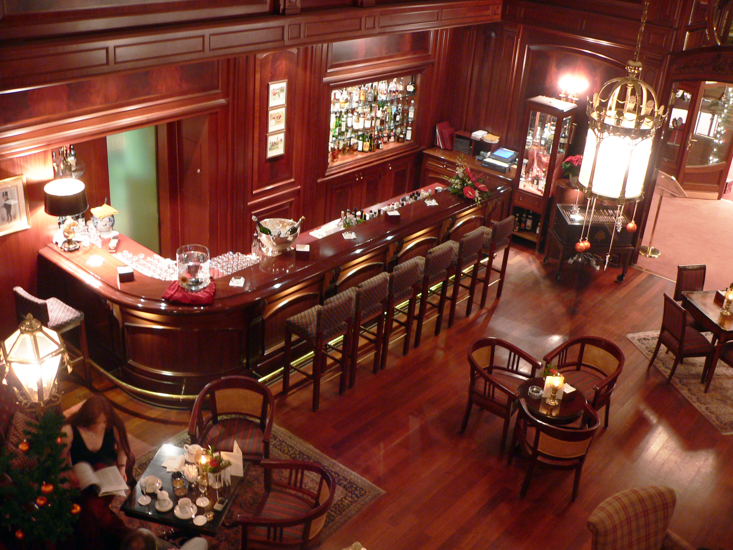
A bar, also known as a saloon, a tavern or tippling house, or sometimes as a pub or club, is a retail business establishment that serves alcoholic beverages, such as beer, wine, liquor, cocktails, and other beverages such as mineral water and soft drinks. Bars often also sell snack foods, such as crisps or peanuts, for consumption on their premises. Some types of bars, such as pubs, may also serve food from a restaurant menu. The term "bar" refers to the countertop where drinks are prepared and served, and by extension to the overall premises. The term derives from the metal or wooden bar (barrier) that is often located along the length of the "bar". Over many years, heights of bars were lowered, and high stools added, and the brass bar remains today. Bars provide stools or chairs that are placed at tables or counters for their patrons. Bars that offer entertainment or live music are often referred to as "music bars", "live venues", or "nightclubs". Types of bars ra ... [...More Info...] [...Related Items...] OR: [Wikipedia] [Google] [Baidu] |
Knettishall Heath
Knettishall Heath is a biological Site of Special Scientific Interest west of Knettishall in Suffolk. A larger area of 176 hectares is the Knettishall Heath Nature Reserve, which is managed by the Suffolk Wildlife Trust. Despite its name, Knettishall Heath is in fact a diverse mosaic of habitats with woodland and riverside meadows, as well as large areas of heath. Ecology The site is heath and grassland, mainly on acidic soils, with areas of secondary woodland and wet hollows. There are heathland plants such as sheep's sorrel, tormentil, harebell, ling and heath bedstraw, while wet areas have fen vegetation including water mint and yellow iris. Rare species Of the more than 12,500 species living in the Brecks, 30% are nationally rare. The heath is home to the rare grey carpet moth which is only found in Breckland, and the lunar yellow underwing moth. Seven bat species are found at Knettishall, including the nationally scarce barbastelle bat. Exmoor ponies In 2013, a five- ... [...More Info...] [...Related Items...] OR: [Wikipedia] [Google] [Baidu] |
Bedford To Hitchin Line
Bedford is a market town in Bedfordshire, England. At the 2011 Census, the population of the Bedford built-up area (including Biddenham and Kempston) was 106,940, making it the second-largest settlement in Bedfordshire, behind Luton, whilst the Borough of Bedford had a population of 157,479. Bedford is also the historic county town of Bedfordshire. Bedford was founded at a ford on the River Great Ouse and is thought to have been the burial place of King Offa of Mercia, who is remembered for building Offa's Dyke on the Welsh border. Bedford Castle was built by Henry I, although it was destroyed in 1224. Bedford was granted borough status in 1165 and has been represented in Parliament since 1265. It is known for its large population of Italian descent. History The name of the town is believed to derive from the name of a Saxon chief called Beda, and a ford crossing the River Great Ouse. Bedford was a market town for the surrounding agricultural region from the early Middle Ag ... [...More Info...] [...Related Items...] OR: [Wikipedia] [Google] [Baidu] |


