|
Iowa Highway 224
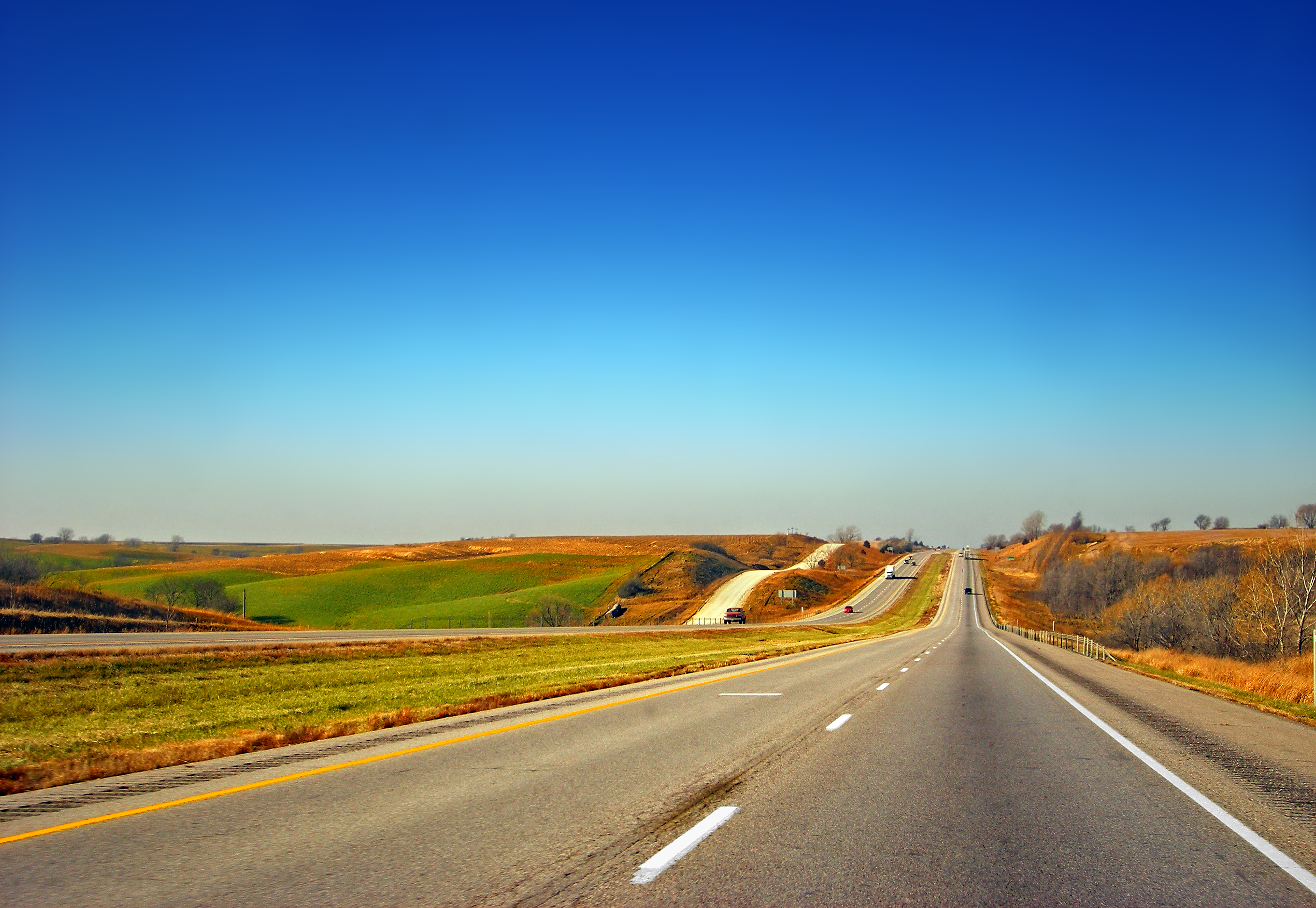
Iowa Highway 224 (Iowa 224) is a state highway in central Iowa. It begins at Iowa 224 north of Kellogg and ends south of Kellogg at exit 173 along Interstate 80 (I-80). It intersects U.S. Highway 6 (US 6) near Kellogg. The highway, in conjunction with Iowa 14, is the most direct route from I-80 to Marshalltown. Route description Iowa 224 begins at a diamond interchange along I-80. From I-80, Iowa 224 travels north to an intersection with US 6 just south of Kellogg. On the southern edge of Kellogg, it crosses the North Skunk River and a line of the Iowa Interstate Railroad. Iowa 224 represents the eastern boundary of Kellogg as the vast majority of the town is to the west. North of Kellogg, the highway passes and provides access to Rock Creek State Park, which lies to the east. from its northern end, Iowa 224 breaks from its northerly path and turns west at Jasper County Road E17 (CR E17). It follows this wes ... [...More Info...] [...Related Items...] OR: [Wikipedia] [Google] [Baidu] |
Kellogg, Iowa
Kellogg is a city in Jasper County, Iowa, United States. The population was 606 at the time of the 2020 census. It was originally named Manning's Station, then carried the names Jasper City, Kimball, and then finally Kellogg, named for the pioneer settler Judge Abel Avery Kellogg. History Kellogg was laid out in 1865 in anticipation of the Mississippi and Missouri Railroad being built through that territory. The railroad reached the town in 1866 and it was designated a station on the line. The terminus of the railroad remained in Kellogg for some time, fueling the early growth of the town. Today, one of Kellogg's most notable features is the five-building Kellogg Museum complex. Its main building is the former Simpson Hotel, constructed in 1909. The museum complex also boasts an original one-room schoolhouse and a country church. Geography Kellogg is located at (41.716641, -92.907563). According to the United States Census Bureau, the city has a total area of , all land. Hi ... [...More Info...] [...Related Items...] OR: [Wikipedia] [Google] [Baidu] |
Jasper County, Iowa
Jasper County is a county in the U.S. state of Iowa. As of the 2020 census, the population was 37,813. The county seat is Newton. The county was organized in 1846 and is named after Sergeant William Jasper, a Revolutionary War hero. Jasper County is part of the Des Moines–West Des Moines, IA Metropolitan Statistical Area. Geography According to the U.S. Census Bureau, the county has a total area of , of which is land and (0.3%) is water. The North and South Skunk River flow through the county. Bodies of water include Lake Mariposa and Rock Creek. Major highways * Interstate 80 * U.S. Highway 6 * U.S. Highway 65 * Iowa Highway 14 * Iowa Highway 117 * Iowa Highway 163 * Iowa Highway 224 * Iowa Highway 330 Transit * List of intercity bus stops in Iowa Adjacent counties * Marshall County (north) * Poweshiek County (east) * Mahaska County (southeast) * Marion County (south) *Polk County (west) * Story County (northwest) Demographics 2020 census The 2020 census r ... [...More Info...] [...Related Items...] OR: [Wikipedia] [Google] [Baidu] |
State Highway (Iowa)
The primary highway system makes up over , approximately 8 percent of the U.S. state of Iowa's public road system. The Iowa Department of Transportation is responsible for the day-to-day maintenance of the primary highway system, which consists of Interstate Highways, United States Highways, and Iowa state highways. Currently, the longest primary highway is U.S. Highway 30 at . The shortest highway is Interstate 129 at . The 20th century was a transformative time for vehicular transportation. In the early years of the century, roads were problematic at best – dusty dirt roads when dry and impassably muddy when wet. Over time, federal money was set aside and bonds were issued allowing the roads to be paved. The U.S. Highway and Interstate Highway Systems connected Iowa to the rest of the country and made national travel feasible. Periodically, new highway construction and changing driving habits have resulted in the obsolescence of local highways, to which the pri ... [...More Info...] [...Related Items...] OR: [Wikipedia] [Google] [Baidu] |
Iowa
Iowa () is a state in the Midwestern region of the United States, bordered by the Mississippi River to the east and the Missouri River and Big Sioux River to the west. It is bordered by six states: Wisconsin to the northeast, Illinois to the east and southeast, Missouri to the south, Nebraska to the west, South Dakota to the northwest, and Minnesota to the north. During the 18th and early 19th centuries, Iowa was a part of French Louisiana and Spanish Louisiana; its state flag is patterned after the flag of France. After the Louisiana Purchase, people laid the foundation for an agriculture-based economy in the heart of the Corn Belt. In the latter half of the 20th century, Iowa's agricultural economy transitioned to a diversified economy of advanced manufacturing, processing, financial services, information technology, biotechnology, and green energy production. Iowa is the 26th most extensive in total area and the 31st most populous of the 50 U.S. states, with a populat ... [...More Info...] [...Related Items...] OR: [Wikipedia] [Google] [Baidu] |
Iowa Highway 14
Iowa Highway 14 (Iowa 14) is a state highway that runs from north to south across the state of Iowa for . The begins in Corydon at an intersection with Iowa 2 and ends in Charles City at an intersection with U.S. Highway 18 (US 18) and US 218 Business. Route description Iowa Highway 14 begins in Corydon at Iowa 2. It goes north past Millerton and intersects US 34 in Chariton. After leaving Chariton going north, it turns northeast near Williamson, then turns north shortly before intersecting Iowa 5 and Iowa 92 at Knoxville. In Knoxville, the road passes east of Knoxville Raceway and the National Sprint Car Hall of Fame & Museum. It continues north past the locally famous "Mile Long Bridge", which carries the highway across Lake Red Rock, and then intersects Iowa 163 in Monroe. It proceeds north to Newton, where it intersects Interstate 80 and a short overlap with US 6 begins. The overlap ends as it skirts the east ... [...More Info...] [...Related Items...] OR: [Wikipedia] [Google] [Baidu] |
Interstate 80 In Iowa
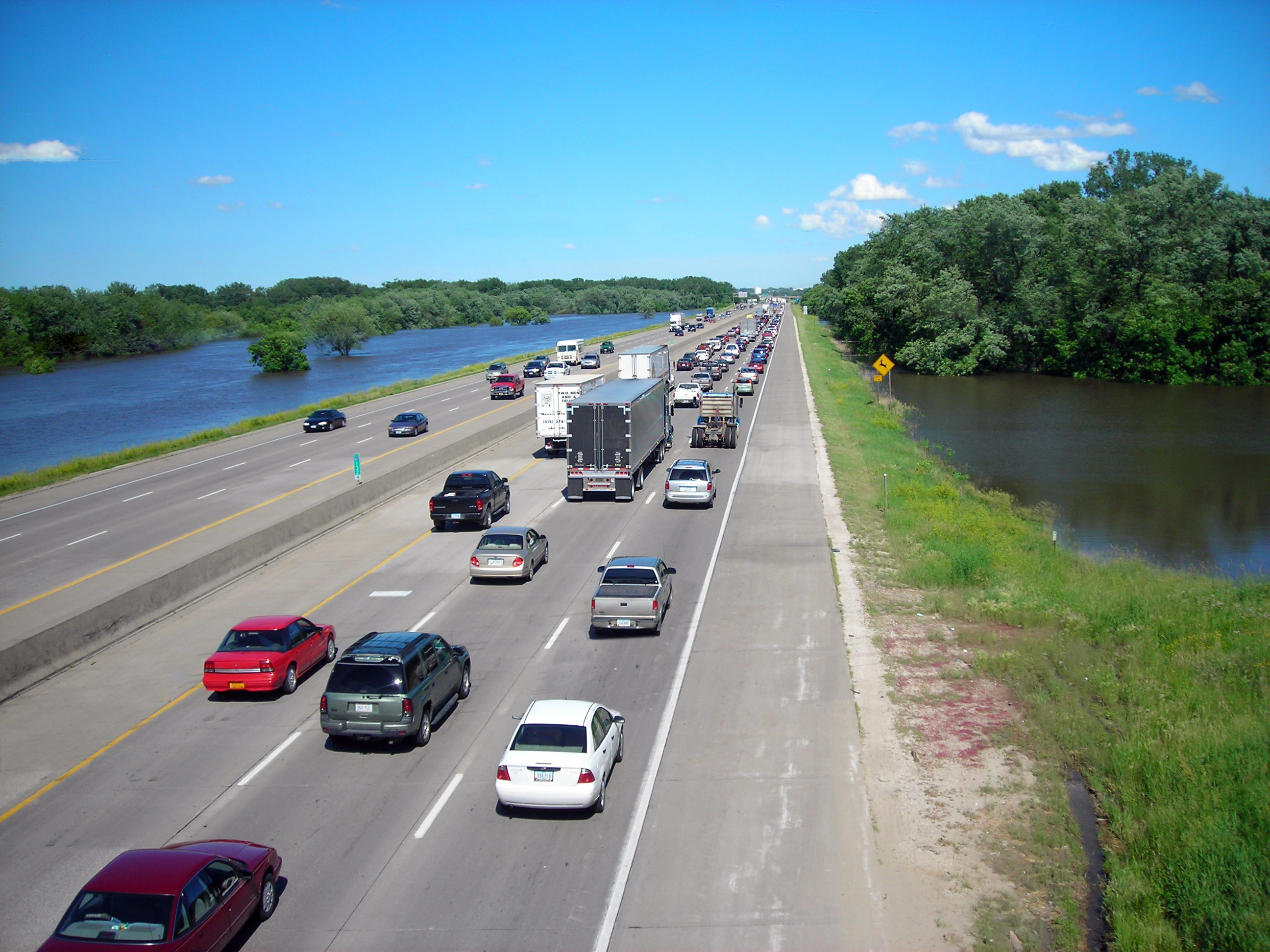
Interstate 80 (I-80) is a transcontinental Interstate Highway in the United States, stretching from San Francisco, California, to Teaneck, New Jersey. In Iowa, the highway travels west to east through the center of the state. It enters the state at the Missouri River in Council Bluffs and heads east through the southern Iowa drift plain. In the Des Moines metropolitan area, I-80 meets up with I-35 and the two routes bypass Des Moines together. On the northern side of Des Moines, the Interstates split and I-80 continues east. In eastern Iowa, it provides access to the University of Iowa in Iowa City. Northwest of the Quad Cities in Walcott is Iowa 80, the world's largest truck stop. I-80 passes along the northern edge of Davenport and Bettendorf and leaves Iowa via the Fred Schwengel Memorial Bridge over the Mississippi River into Illinois. Before I-80 was planned, the route between Council Bluffs and Davenport, which passed through Des Moines, was vital to the sta ... [...More Info...] [...Related Items...] OR: [Wikipedia] [Google] [Baidu] |
Diamond Interchange
A diamond interchange is a common type of road junction, used where a controlled-access highway crosses a minor road. Design The freeway itself is grade-separated from the minor road, one crossing the other over a bridge. Approaching the interchange from either direction, an off-ramp diverges only slightly from the freeway and runs directly across the minor road, becoming an on-ramp that returns to the freeway in similar fashion. The two places where the ramps meet the road are treated as conventional intersections. In the United States, where this form of interchange is very common, particularly in rural areas, traffic on the off-ramp typically faces a stop sign at the minor road, while traffic turning onto the freeway is unrestricted. The diamond interchange uses less space than most types of freeway interchange, and avoids the interweaving traffic flows that occur in interchanges such as the cloverleaf. Thus, diamond interchanges are most effective in areas where ... [...More Info...] [...Related Items...] OR: [Wikipedia] [Google] [Baidu] |
Interstate 80 (Iowa)
Interstate 80 (I-80) is a transcontinental Interstate Highway in the United States, stretching from San Francisco, California, to Teaneck, New Jersey. In Iowa, the highway travels west to east through the center of the state. It enters the state at the Missouri River in Council Bluffs and heads east through the southern Iowa drift plain. In the Des Moines metropolitan area, I-80 meets up with I-35 and the two routes bypass Des Moines together. On the northern side of Des Moines, the Interstates split and I-80 continues east. In eastern Iowa, it provides access to the University of Iowa in Iowa City. Northwest of the Quad Cities in Walcott is Iowa 80, the world's largest truck stop. I-80 passes along the northern edge of Davenport and Bettendorf and leaves Iowa via the Fred Schwengel Memorial Bridge over the Mississippi River into Illinois. Before I-80 was planned, the route between Council Bluffs and Davenport, which passed through Des Moines, was vital to the state ... [...More Info...] [...Related Items...] OR: [Wikipedia] [Google] [Baidu] |
Skunk River
The Skunk River is a tributary of the Mississippi River in the state of Iowa in the United States. Geography The Skunk River rises in two branches, the South Skunk ( long) and the North Skunk ( long).U.S. Geological Survey. National Hydrography Dataset high-resolution flowline dataThe National Map accessed May 13, 2011 The headwaters of the South Skunk are in Hamilton County in north central Iowa. It flows roughly due southward, to the west of Interstate 35, and passes through the city of Ames, before turning southeasterly. In Keokuk County, it is joined by the North Skunk, which has its headwaters in Marshall County. It then proceeds southeastward and flows into the Mississippi about five miles south of the city of Burlington. Etymology The Sauk and Meskwaki referred to the Skunk River as "Shecaqua". This name was probably mistranslated; one early settler wrote, "I was informed by Frank Labisner, United States interpreter for the Sac and Fox Indians, that the name of Skunk ... [...More Info...] [...Related Items...] OR: [Wikipedia] [Google] [Baidu] |
Iowa Interstate Railroad
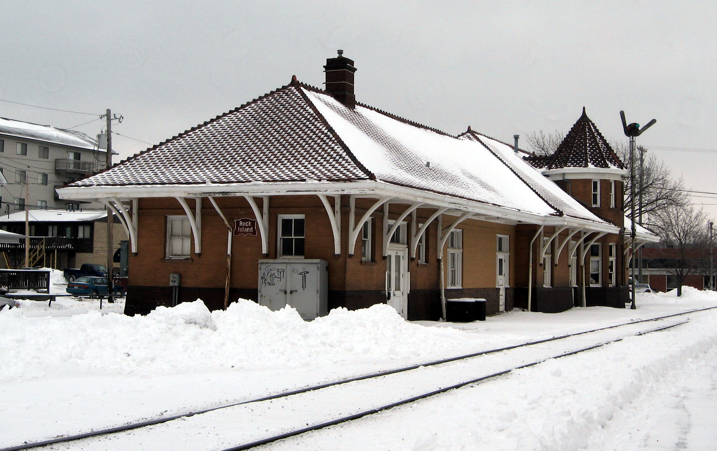
The Iowa Interstate Railroad is a Class II regional railroad operating in the central United States. The railroad is owned by Railroad Development Corporation of Pittsburgh, Pennsylvania. History The railroad was formed on November 2, 1984, using former Chicago, Rock Island & Pacific Railroad tracks between Chicago, Illinois and Omaha, Nebraska, four years after the Rock Island folded. It was in partnership with real estate firm Heartland Rail Corporation that the IAIS was able to operate. Heartland purchased the right-of-way and infrastructure for $31 million (of which, $15 million was a loan from the Iowa Railway Finance Authority), and then leased it to IAIS for operations. The IAIS and the railroad infrastructure were purchased from Heartland by Railroad Development Company of Pittsburgh, PA in 2003. In recognition of the railroad's Rock Island Railroad heritage, the IAIS logo uses a shape similar to the original railroad's logo and has also painted two of its Genera ... [...More Info...] [...Related Items...] OR: [Wikipedia] [Google] [Baidu] |
Rock Creek State Park
Rock Creek State Park is a state park of Iowa, US. It is located in Jasper County, near Kellogg. The park was dedicated in 1952 and includes numerous boat launches and docks, picnic grounds, camping grounds, and trails for horseback riding and hiking. In the winter, the lake may freeze over, and the park is a popular spot for cross-country skiing and snowmobiling. Grinnell is located to the east. The park's proximity to the town as well as a connecting bike path make the park a popular destination for students at Grinnell College. Fishing is a popular thing at Rock Creek, Fish species are Black and White Crappie, Largemouth Bass, White Bass, Channel Catfish, Black Bullhead, Bluegill, Green Sunfish, Freshwater Drum, and Walleye The walleye (''Sander vitreus'', synonym ''Stizostedion vitreum''), also called the yellow pike or yellow pickerel, is a freshwater perciform fish native to most of Canada and to the Northern United States. It is a North American close rela ... [...More Info...] [...Related Items...] OR: [Wikipedia] [Google] [Baidu] |
Marshalltown, Iowa
Marshalltown is a city in and the county seat of Marshall County, Iowa, United States, located along the Iowa River. It is the seat and most populous settlement of Marshall County and the 16th largest city in Iowa, with a population of 27,591 at the 2020 census. Marshalltown is home to the Iowa Veterans Home and Marshalltown Community College. History Henry Anson was the first European settler in what is now called Marshalltown. In April 1851, Anson found what he described as “the prettiest place in Iowa.” On a high point between the Iowa River and Linn Creek, Anson built a log cabin. A plaque at 112 West Main Street marks the site of the cabin. In 1853 Anson named the town Marshall, after Marshall, Michigan, a former residence of his. The town became Marshalltown in 1862 because another Marshall already existed in Henry County, Iowa (In 1880, Marshall's name changed to Wayland). With the help of Potawatomi chief Johnny Green, Anson persuaded early settlers to stay in the ... [...More Info...] [...Related Items...] OR: [Wikipedia] [Google] [Baidu] |


