|
Idaho State Highway 37
State Highway 37 (SH-37) is a state highway in Power County in southern Idaho, United States that spans north-south from the Oneida–Power county line to Interstate 86 (I-86). Route description The SH-37 begins at the Oneida County line on the Rockland Highway, just southwest of Buck Peak. (From the southern terminus of SH-37 the Rockland Highway continues south to Holbrook and the western terminus of SH-38.) The route heads northwest briefly before turning north to pass through the unincorporated community of Roy. It then continues north through farmland and passes through the town of Rockland before ending at a diamond interchange with I-86 (Exit 36), about south of the Snake River, about northeast of Neeley, and about southwest of American Falls. History By 1927 the SH-37 designation had been assigned to a route south east of Coeur d'Alene in the northern part of the state. (By 1927 the north-south route through Malad City was designated as SH-21, but by 1937 it had ... [...More Info...] [...Related Items...] OR: [Wikipedia] [Google] [Baidu] |
Power County, Idaho
Power County is a county located in the U.S. state of Idaho. As of the 2010 Census, the county had a population of 7,817. The county seat and largest city is American Falls. The county was created by the Idaho Legislature on January 30, 1913, by a partition of Cassia County. It is named for an early hydroelectric power plant (1902) at the American Falls. Geography According to the U.S. Census Bureau, the county has a total area of , of which is land and (2.7%) is water. Adjacent counties * Bannock County – east * Oneida County – south * Bingham County – north * Blaine County – northwest * Cassia County – southwest Major highways * Interstate 86 * US 30 * SH-37 * SH-39 National protected areas * Caribou National Forest (part) * Craters of the Moon National Monument and Preserve (part) * Curlew National Grassland (part) * Minidoka National Wildlife Refuge (part) * Sawtooth National Forest (part) Government Power County's commissioners are: *Ronald Funk (Chairm ... [...More Info...] [...Related Items...] OR: [Wikipedia] [Google] [Baidu] |
Lake Coeur D'Alene
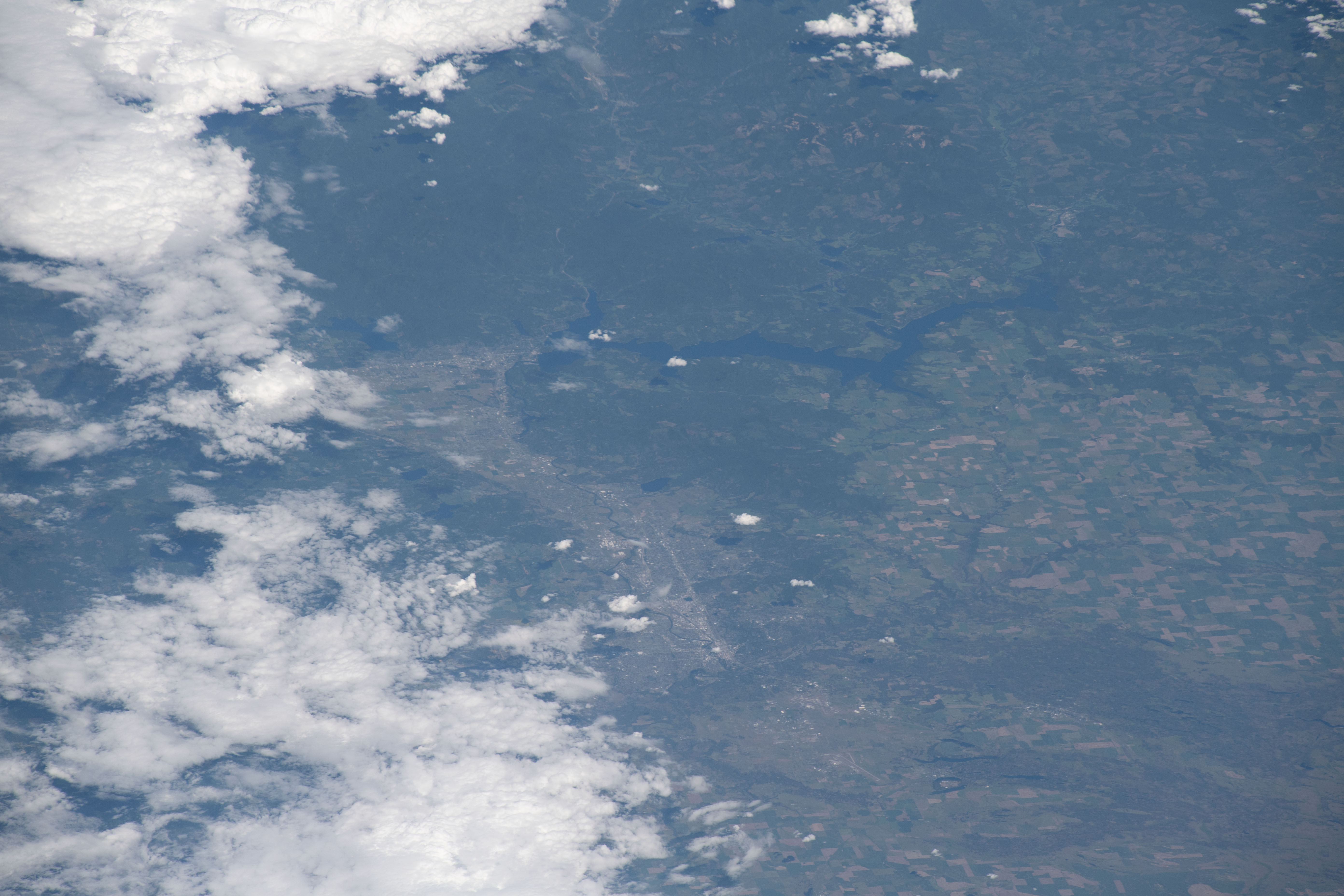
Lake Coeur d'Alene, officially Coeur d'Alene Lake ( ), is a natural dam-controlled lake in North Idaho, located in the Pacific Northwest region of the United States. At its northern end is the city of Coeur d'Alene. It spans in length and ranges from 1 to wide with over of shoreline. The lake was named after the Coeur d'Alene people. Geology and geography Lake Coeur d'Alene, like other lakes surrounding the Spokane Valley and Rathdrum Prairie, was formed by the Missoula Floods, most recently 12,000 to 15,000 years ago. The Purcell Lobe of the Cordilleran Ice Sheet flowed south from Canada, carving the basin of present-day Lake Pend Oreille and damming the Clark Fork river. The impounded river repeatedly filled to form Glacial Lake Missoula and broke through the ice dam, resulting in massive floods that filled the Rathdrum Prairie area with sand, gravel, and boulders. Large eddy bars formed downstream from bedrock obstructions, thereby damming tributary valleys and creati ... [...More Info...] [...Related Items...] OR: [Wikipedia] [Google] [Baidu] |
Pauline, Idaho
Pauline is an unincorporated community in Power County, Idaho, United States. Pauline is south-southwest of Pocatello Pocatello () is the county seat of and largest city in Bannock County, with a small portion on the Fort Hall Indian Reservation in neighboring Power County, in the southeastern part of the U.S. state of Idaho. It is the principal city of the .... References Unincorporated communities in Power County, Idaho Unincorporated communities in Idaho {{PowerCountyID-geo-stub ... [...More Info...] [...Related Items...] OR: [Wikipedia] [Google] [Baidu] |
Arbon, Idaho
Arbon is an unincorporated community in Power County, Idaho, United States. Description The community is northwest of Malad City. Arbon has a post office with ZIP code 83212. The first settlement at Arbon was made in 1893. The community has the name of George Arbon, a pioneer settler. The first Arbon school was a by log cabin built in section 12 of Township 11 South, Range 33, East Boise Meridian, on land donated by Lorenzo Bailey. The schoolhouse also functioned as a church and a place for community events. Classes commenced on October 13, 1902. Demographics Arbon's population was 100 in 1909, 340 in 1925, 55 in 1940, and 10 in 1960. Climate According to the Köppen Climate Classification system, Arbon has a semi-arid climate A semi-arid climate, semi-desert climate, or steppe climate is a dry climate sub-type. It is located on regions that receive precipitation below potential evapotranspiration, but not as low as a desert climate. There are different kinds of ... [...More Info...] [...Related Items...] OR: [Wikipedia] [Google] [Baidu] |
Idaho State Highway 32
State Highway 32 (SH-32) is a state highway in Idaho. It runs from SH-33 to SH-47. Route description SH-32 begins at an intersection with SH-33 near the town of Tetonia. It makes a series of shallow turns, eventually heading due west, before turning north again and ending at SH-47, near the town of Ashton. Major intersections See also * List of state highways in Idaho The Idaho Transportation Department (ITD) is responsible for the establishment and classification of a state highway network, including of roads that are classified as Interstate Highways, U.S. Highways, and state highways within the state of Id ... * List of highways numbered 32 References External links 032 Transportation in Teton County, Idaho Transportation in Fremont County, Idaho {{Idaho-road-stub ... [...More Info...] [...Related Items...] OR: [Wikipedia] [Google] [Baidu] |
Texaco
Texaco, Inc. ("The Texas Company") is an American Petroleum, oil brand owned and operated by Chevron Corporation. Its flagship product is its Gasoline, fuel "Texaco with Techron". It also owned the Havoline motor oil brand. Texaco was an Independent business, independent company until its refining operations merged into Chevron, at which time most of its station franchises were divested to Shell plc through Shell USA, its American division. Texaco began as the "Texas Fuel Company", founded in 1902 in Beaumont, Texas, by Joseph S. Cullinan, Thomas J. Donoghue, and Arnold Schlaet upon the discovery of oil at Spindletop. The Texas Fuel Company was not set up to drill wells or to produce crude oil. To accomplish this, Cullinan organized the Producers Oil Company in 1902, as a group of investors affiliated with The Texas Fuel Company. Men such as John W. ("Bet A Million") Gates invested in "certificates of interest" to an amount of almost ninety thousand dollars. Future restructurin ... [...More Info...] [...Related Items...] OR: [Wikipedia] [Google] [Baidu] |
Malad City, Idaho
Malad City (also commonly known as Malad) is the only city in Oneida County, Idaho, Oneida County, Idaho, United States. Its population was 2,095 at the 2010 United States Census, 2010 census, down from 2,158 in 2000.Spokesman-Review – 2010 census – Malad City, Idaho – accessed 2011-12-27 The city is named after the nearby Malad River (Idaho-Utah), Malad River, the name being French language, French for "sickly". Malad City is located along Interstate 15 in Idaho, Interstate 15 on the east side of the Malad Valley from the Utah/Idaho border. History [...More Info...] [...Related Items...] OR: [Wikipedia] [Google] [Baidu] |
Idaho State Highway 33
State Highway 33 (SH-33) is a state highway in eastern Idaho, spanning from U.S. Highway 20 (US 20) and US 26 to Wyoming Highway 22 (WYO 22) at the state line. Route description SH-33 begins at an intersection with US 20/ US 26 in Butte County. It proceeds northwesterly, passing through rural area of the Idaho National Laboratory, before bending and traveling northward. The highway continues northward until intersecting with the Little Lost River Highway, and turning east. The road proceeds eastward, before intersecting SH-22. After continuing eastward, the roadway bends northwest for a short distance, before bending back eastward. The route continues eastward, passing the Mud Lake Airport, and meeting SH-28. The roadway continues eastward, continuing through rural area, before reaching an interchange with Interstate 15 (I-15). The highway proceeds eastward, passing over the Snake River, and continuing eastward. The road enters R ... [...More Info...] [...Related Items...] OR: [Wikipedia] [Google] [Baidu] |
Rand McNally
Rand McNally is an American technology and publishing company that provides mapping, software and hardware for consumer electronics, commercial transportation and education markets. The company is headquartered in Chicago, with a distribution center in Richmond, Kentucky. History Early history In 1856, William H. Rand opened a printing shop in Chicago and two years later hired a newly arrived Irish immigrant, Andrew McNally, to work in his shop. The shop did big business with the forerunner of the ''Chicago Tribune'', and in 1859 Rand and McNally were hired to run the ''Tribune''s entire printing operation. In 1868, the two men, along with Rand's nephew George Amos Poole, established Rand McNally & Co. and bought the Tribune's printing business. The company initially focused on printing tickets and timetables for Chicago's booming railroad industry, and the following year supplemented that business by publishing complete railroad guides. In 1870, the company expanded into ... [...More Info...] [...Related Items...] OR: [Wikipedia] [Google] [Baidu] |
Idaho State Highway 36
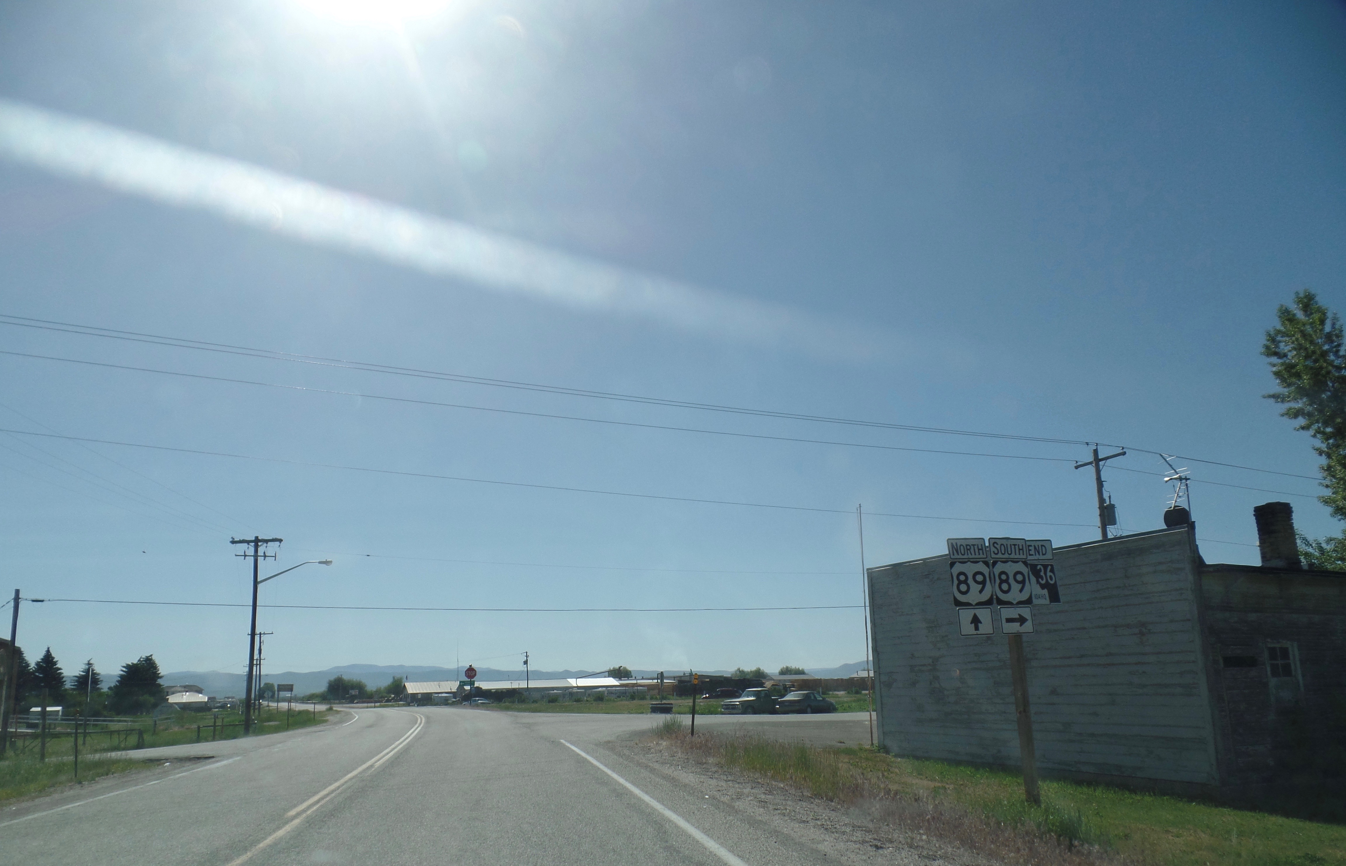
State Highway 36 (SH-36) is a east-west state highway located in the southeast part of the U.S. state of Idaho. SH-36 runs from Interstate 15 (I-15) near Malad City to U.S. Route 89 (US-89) near Montpelier. The highway is maintained by the Idaho Transportation Department. Route description SH-36 begins at a diamond interchange with I-15. As Deep Creek Road, the highway travels east before turning southeast, passing through the forest and just west of Old Baldy Peak before entering the town of Weston. There, SH-36 turns north, entering Dayton before turning east. Crossing the Bear River, the highway continues into the city of Preston, running concurrently with US-91 due north along State Street before turning northeast along a roadway with SH-34. After crossing the Bear River again, SH-36 continues northeast, passing through the community of Mink Creek before passing through fields and forests. SH-36 passes through Liberty before ending in the town of Ovid just west of ... [...More Info...] [...Related Items...] OR: [Wikipedia] [Google] [Baidu] |


.jpg)

