|
Halfshire
Halfshire (Latin: ''Hundredum Dimidii Comitatūs'', "hundred of half (the) county") was one of the hundreds in the English county of Worcestershire. As three of the five hundreds in the county were jurisdictions exempt from the authority of the sheriff, the hundred was considered to be half what was subject to his jurisdiction, whence the name. The hundred seems to have been formed in the mid-12th century, by amalgamating the Domesday hundreds of Came (except three of the Came manors, viz. Alvechurch, Stoke Prior and Osmerley which went to the hundred of Oswaldslow), Clent, Cresslau, and Esch, other than those parts where an ecclesiastical exempt jurisdiction existed, which were joined to the appropriate ecclesiastical hundreds about the same time. Anciently, it contained the following manors: Belbroughton, Bentley Pauncefoot, Bromsgrove, Chaddesley Corbett, Churchill, Church Lench, Cofton Hackett, Cradley, Doverdale, Droitwich, Dudley, Elmbridge, Elmley Lovett, Feckenham ... [...More Info...] [...Related Items...] OR: [Wikipedia] [Google] [Baidu] |
Feckenham
Feckenham is a village and civil parish in the Borough of Redditch in Worcestershire, England. It lies some south-west of the town of Redditch and some east of the city of Worcester. It had a population of 670 in the 2001 census and its immediate area is the location of notable royal manors that cover over 1,000 years of English history documented in many royal charters and Acts of Parliament. At its greatest, the historic Forest of Feckenham stretched to the River Avon in the south and to Worcester in the west. In 1389 Geoffrey Chaucer was as Clerk of Works and Keeper of the Lodge. Feckenham in the 21st century is a rural community with a traditional English village green with walking and riding routes, including the long-distance public footpath, The Monarch's Way, that passes about 1.5 miles east of the village. History Name The village name has been recorded as Feccanhom (9th century), Feccheham (11th century), Fekkeham, Fekeham (12th century), Feckeham, Feckaham, Fe ... [...More Info...] [...Related Items...] OR: [Wikipedia] [Google] [Baidu] |
Northfield, Birmingham
Northfield is a residential area in outer south Birmingham, England, and near the boundary with Worcestershire. It is also a council constituency, managed by its own district committee. The constituency includes the wards of Kings Norton, Longbridge, Weoley Castle and the smaller ward of Northfield that includes West Heath and Turves Green. Mentioned in the Domesday Book and formerly a small village, then included in north Worcestershire, Northfield became part of Birmingham in 1911 after it had been rapidly expanded and developed in the period prior to World War I. The northern reaches of Northfield fall within the Bournville model village and the southern housing estates were originally built by Austin Motors for their workforce. A centre of the Midlands nail making industry during the 19th century and home to both the Kalamazoo paper factory and the Austin motor company's Longbridge factory in the 20th century, today Northfield is predominantly a residential and dormitory ... [...More Info...] [...Related Items...] OR: [Wikipedia] [Google] [Baidu] |
Worcestershire
Worcestershire ( , ; written abbreviation: Worcs) is a county in the West Midlands of England. The area that is now Worcestershire was absorbed into the unified Kingdom of England in 927, at which time it was constituted as a county (see History of Worcestershire). Over the centuries the county borders have been modified, but it was not until 1844 that substantial changes were made. Worcestershire was abolished as part of local government reforms in 1974, with its northern area becoming part of the West Midlands and the rest part of the county of Hereford and Worcester. In 1998 the county of Hereford and Worcester was abolished and Worcestershire was reconstituted, again without the West Midlands area. Location The county borders Herefordshire to the west, Shropshire to the north-west, Staffordshire only just to the north, West Midlands to the north and north-east, Warwickshire to the east and Gloucestershire to the south. The western border with Herefordshire includes a ... [...More Info...] [...Related Items...] OR: [Wikipedia] [Google] [Baidu] |
Bromsgrove
Bromsgrove is a town in Worcestershire, England, about northeast of Worcester and southwest of Birmingham city centre. It had a population of 29,237 in 2001 (39,644 in the wider Bromsgrove/Catshill urban area). Bromsgrove is the main town in the larger Bromsgrove District. In the Middle Ages it was a small market town; primarily producing cloth through the early modern period. In the eighteenth and nineteenth centuries it became a major centre for nail making. History Anglo-Saxon Bromsgrove is first documented in the early 9th century as Bremesgraf. An ''Anglo-Saxon Chronicle'' entry for 909 AD mentions a ''Bremesburh''; possibly also referring to Bromsgrove. The Domesday Book of 1086 references ''Bremesgrave''. The name means ''Bremi’s grove''. The grove element may refer to the supply of wood to Droitwich for the salt pans. During the Anglo-Saxon period the Bromsgrove area had a woodland economy; including hunting, maintenance of haies and pig farming. At the time of E ... [...More Info...] [...Related Items...] OR: [Wikipedia] [Google] [Baidu] |
Churchill, Wyre Forest
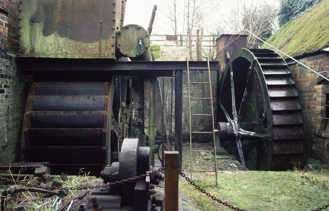
Churchill is a village in the Wyre Forest District of Worcestershire, England, near to Kidderminster. It is in the civil parish of Churchill and Blakedown and is the location of one of the few surviving water-powered plating forges in the United Kingdom - Churchill Forge Mill Churchill Forge Mill, situated in the Worcestershire village of Churchill, is one of the last water-powered forge mills remaining in an intact state in the UK and as such is an important example of the industrial heritage of the West Midlands. P .... References Further reading * ''A Pictorial History of Churchill and Blakedown'', Churchill & Blakedown Parish Council External links Churchill & Blakedown Parish site Villages in Worcestershire {{Worcestershire-geo-stub ... [...More Info...] [...Related Items...] OR: [Wikipedia] [Google] [Baidu] |
Frankley
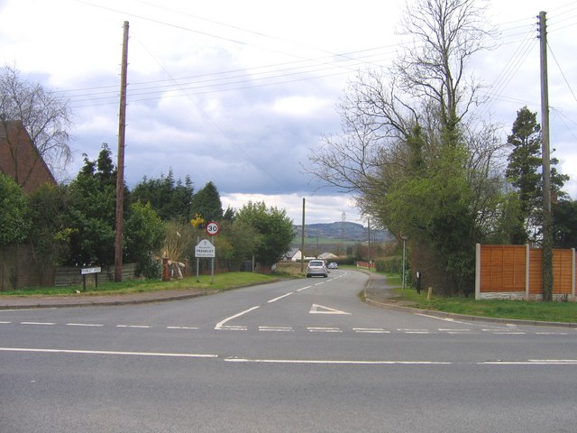
Frankley is a village and civil parish in Worcestershire. The modern Frankley estate is part of the New Frankley civil parish in Birmingham, and has been part of the city since 1995. The parish has a population of 122. History Frankley is listed within the hundred of Cane in Worcestershire in the 1086 Domesday Survey. In the mid-12th century Cane was combined with other Domesday hundreds to form the hundred of Halfshire, which was extant through the 19th century. Adam de Harvington, or de Herwynton, (died c.1345), Lord Treasurer of Ireland, owned the manor of Frankley in the fourteenth century. St Leonards Church The 15th-century church building lies to the north of the village. The building is constructed from sandstone in a red and grey colour, until 1965 the tower contained two bells. A new church hall was constructed in 2005. Frankley services The village gives its name to Frankley services, a motorway service area on the M5 motorway to the north west of the villag ... [...More Info...] [...Related Items...] OR: [Wikipedia] [Google] [Baidu] |
Cofton Hackett
Cofton Hackett is a village and civil parish in the Bromsgrove District of north east Worcestershire, England. It is southwest of the city centre of Birmingham and northeast of Worcester. In 2011, the village had a population of 1,893 but with housing development on the former Austin Rover site, this is expected to double over the five years to 2023. The village is served by two main bus services, these being the 20 (Cofton Hackett – Queen Elizabeth Hospital) and 145/145A (Longbridge – Droitwich) operated by National Express and Diamond Bus respectively. History Early history Cofton Hackett is an ancient settlement mentioned in historical documents dating back to 780 AD. ''Coſtune'' (Costune) was among places granted by King Offa to the minster of St Peter, Bredon in 780. The bounds for this estate probably covered the parishes of Alvechurch and Cofton. The spelling of the name has varied over the centuries: for many centuries, the usual spelling was Coston. Howeve ... [...More Info...] [...Related Items...] OR: [Wikipedia] [Google] [Baidu] |
Hagley
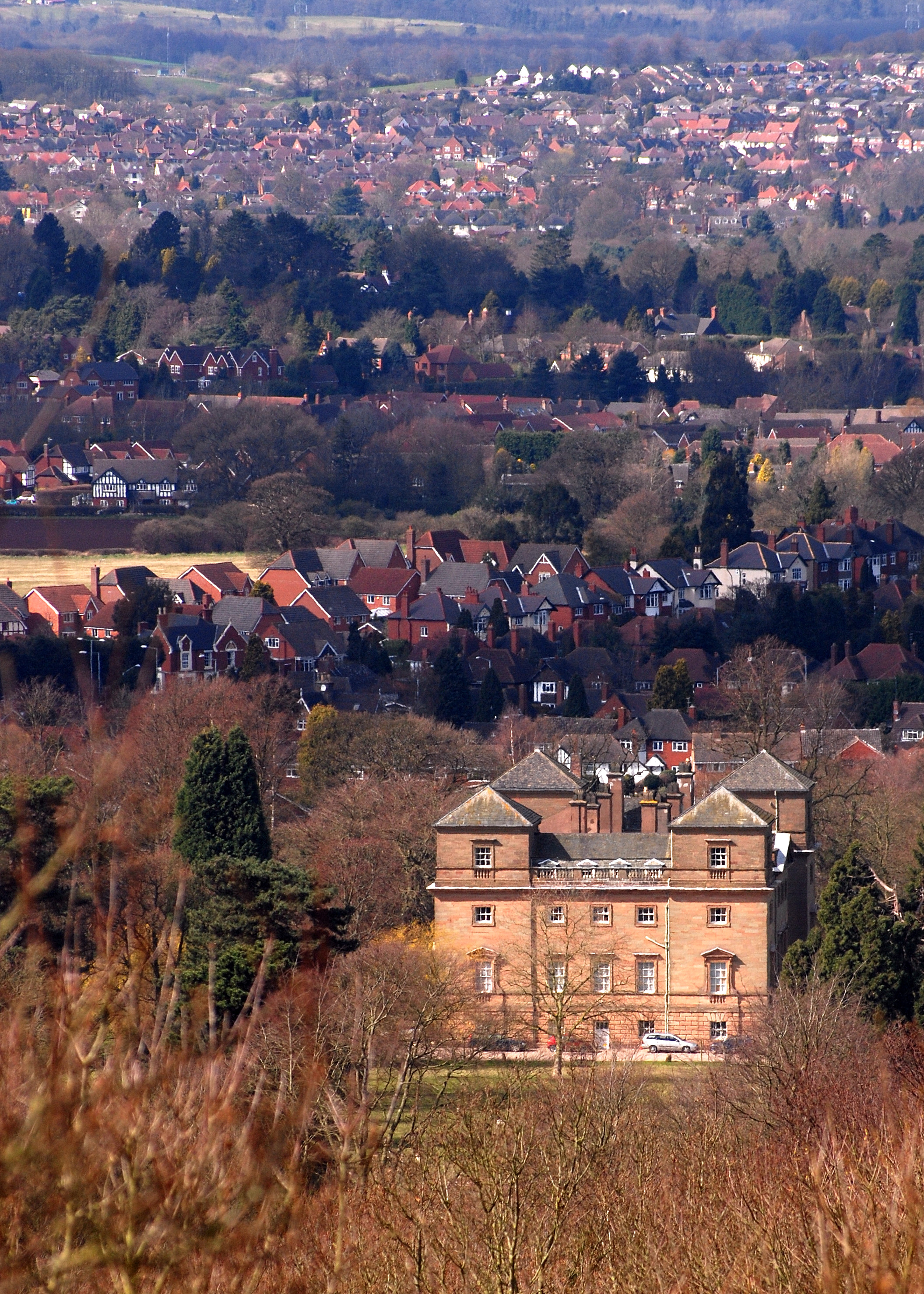
Hagley is a large village and civil parish in Worcestershire, England. It is on the boundary of the West Midlands and Worcestershire counties between the Metropolitan Borough of Dudley and Kidderminster. Its estimated population was 7,162 in 2019. Development From the time of the Domesday Book until the 1933 boundary changes, the parish of Hagley extended southwards from the village to include the present parish of Blakedown. The main focus of the village, on the lower slopes of the Clent Hills, was on the outskirts, where Hagley Hall and the parish church of St John the Baptist can be found. The parish register of Hagley is the oldest in England. It dates from 1 December 1538, which was the year in which registers were ordered to be kept in all parishes. Lower Hagley lies downhill and started to expand with the arrival of the Oxford, Worcester and Wolverhampton Railway in 1852 and the eventual building of Hagley railway station. The growth of what is now known as West Hagley i ... [...More Info...] [...Related Items...] OR: [Wikipedia] [Google] [Baidu] |
Pedmore
Pedmore is a residential suburb of Stourbridge in the West Midlands of England. It was originally a village in the Worcestershire countryside until extensive housebuilding during the interwar years saw it gradually merged into Stourbridge. The population of the appropriate Dudley Ward (Pedmore and Stourbridge East) taken at the 2011 census was 12,471., Amenities Pedmore is home to the Pedmore Cricket Club and is served by the nearby railway stations of Stourbridge Junction railway station and Hagley railway station. Pedmore is served by two primary schools - Pedmore Church of England School, and Ham Dingle Primary Academy. It is also served by a secondary school - Pedmore High School, which until July 2004 was called The Grange School. In the 1920s, Pedmore House was built on what is now the end of Ham Lane. It became a local landmark, offering restaurant facilities that later incorporated the Tuscana Italian restaurant as well as 20-bedroom hotel. It closed in July 200 ... [...More Info...] [...Related Items...] OR: [Wikipedia] [Google] [Baidu] |
Stourport
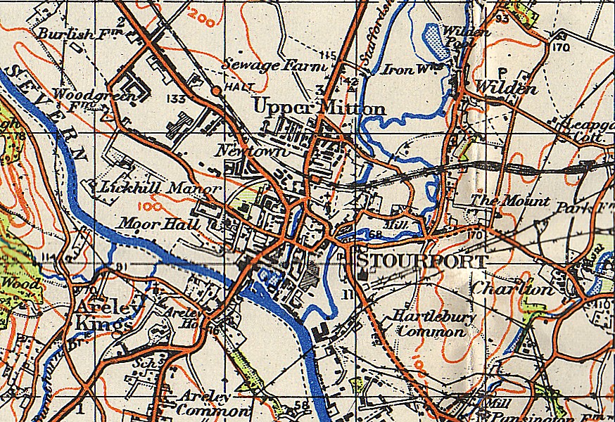
Stourport-on-Severn, often shortened to Stourport, is a town and civil parish in the Wyre Forest District of North Worcestershire, England, a few miles to the south of Kidderminster and downstream on the River Severn from Bewdley. At the 2011 census, it had a population of 20,292. History and early growth Stourport came into being around the canal basins at the Severn terminus of the Staffordshire and Worcestershire Canal, which was completed in 1768. In 1772 the junction between the Staffordshire and Worcestershire and the Birmingham Canal was completed and Stourport became one of the principal distributing centres for goods to and from the rest of the West Midlands. The canal terminus was built on meadowland to the south west of the hamlet of Lower Mitton. The terminus was first called Stourmouth and then Newport, with the final name of Stourport settled on by 1771. The population of Stourport rose from about 12 in the 1760s to 1300 in 1795. In 1771 John Wesley had called ... [...More Info...] [...Related Items...] OR: [Wikipedia] [Google] [Baidu] |
Hartlebury
Hartlebury is a village and civil parish in Worcestershire, England which is in Wychavon district centred south of Kidderminster. The civil parish registered a population of 2,549 in the United Kingdom Census 2001, 2001 Census. The Hartlebury railway station, railway station is centred 800 metres east of the nucleated village, village centre and the main settlement is buffer zone, green-buffered from surrounding villages save for a locality Waresley which is contiguous with the village centre. The south of the parish includes Crossway Green, which hosts a large motel named after Hartlebury; more scantly populated Lincomb and the north comprise Torton. History Hartlebury Castle Hartlebury Castle was built in the mid-13th century as a fortified manor house. Until 2007 it was the residence of the Bishop of Worcester, with two-thirds of the building leased out to Worcestershire County Council as the Worcestershire County Museum. Hartlebury Castle is a Grade I listed building ... [...More Info...] [...Related Items...] OR: [Wikipedia] [Google] [Baidu] |
Oldswinford
The name Oldswinford is now used for a small area of Stourbridge, close to the parish church. History Originally, it was an extensive ancient parish, covering the whole of the former Municipal Borough of Stourbridge, except Pedmore. This included Wollaston, Lye, and Norton (which were part of the same manor), but Stourbridge and Amblecote, while in the parish, were separate manors. Amblecote was formerly in Staffordshire, but the rest of the parish (south of the River Stour) was in Worcestershire. Both Stourbridge and Amblecote were formerly administered separately from the rest of Oldswinford. The Parish Church of Oldswinford is St Mary's Church. The manor of Old Swinford changed hands from time to time during the Middle Ages as a result of political upheavals and the changes of fortune of its overlords. It is questionable whether these great feudal lords ever visited this manor, the supervision of the peasants' customary service and the collection of dues and fines being left ... [...More Info...] [...Related Items...] OR: [Wikipedia] [Google] [Baidu] |


.jpg)