|
Hunugalagala Limestone Cave
Hunugalagala is a Limestone cave, which is located in Haldummulla, Badulla District Badulla District ( si, බදුල්ල දිස්ත්රික්කය ''badūlla distrikkaya''; ta, பதுளை மாவட்டம் ''Patuḷai māvaṭṭam'') is a district in Uva Province, Sri Lanka. The entire land area ... of Sri Lanka. It is assumed that this rock formation has been formed millions of years ago. The cave and the surrounding area has been used between 5,000 and 4,000 years ago. Archaeological excavations have been started in July 2013 and revealed grind-stones, painted potsherds, a stone statue of a man's upper body and bones of humans and animals. Stone utensils or grind-stones revealed that the prehistoric community was used to process food and allow to conclude basic pottery knowledge among the cave inhabitants. References {{Navbox prehistoric caves Caves of Sri Lanka Archaeological sites in Sri Lanka Landforms of Badulla District Prehist ... [...More Info...] [...Related Items...] OR: [Wikipedia] [Google] [Baidu] |
Haldummulla
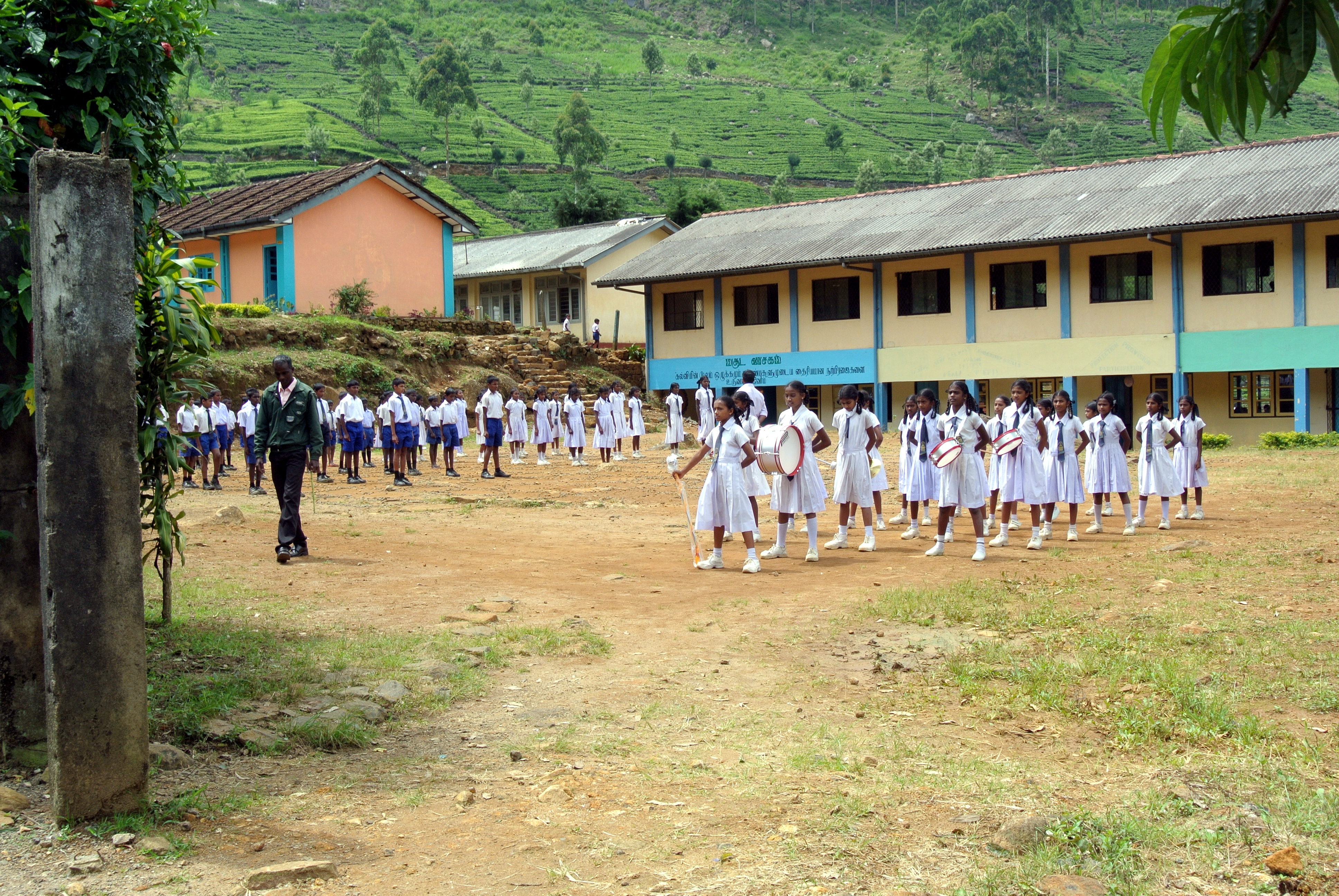
Haldummulla ( si, හල්දුම්මුල්ල) is a town in the Badulla District, Uva Province, Sri Lanka. The town suffered significant damage from a 2014 Badulla landslide, landslide in 2014. Attractions * Bambarakanda Falls]* Ohiya and Horton Plains National Park, Horton Plains via Kalupahana and Udaweriya Estate Archeological sites Prehistoric burial ground In 2010, a group of researchers found some evidence of a Prehistoric burial ground. Prehistoric settlement In 2011 archaeologists found evidence for an ancient settlement, the oldest and first ancient human dwelling to be found in the central hills in Sri Lanka. Soragune Devalaya The Soragune Devalaya is a Buddhist temple dedicated to Kataragama deviyo. It was constructed by a provincial ruler of the area, in 1582, who was seeking the blessing/protection of Kataragama, while he was away from the province. The temple was destroyed by the Dutch but was subsequently reconstructed. The temple was declar ... [...More Info...] [...Related Items...] OR: [Wikipedia] [Google] [Baidu] |
Badulla District
Badulla District ( si, බදුල්ල දිස්ත්රික්කය ''badūlla distrikkaya''; ta, பதுளை மாவட்டம் ''Patuḷai māvaṭṭam'') is a district in Uva Province, Sri Lanka. The entire land area of the Badulla district is and has a total population of 837,000. The district is bounded by the districts of Monaragala and Rathnapura on the east and south, by Ampara and Kandy districts to the north and by Nuwara Eliya and Matale to the west. Mainly the economy of the district is based on agricultural farming and livestock. Badulla District is an agricultural district where tea and various vegetables are cultivated. The district is divided into an upper region and a lower region which differ in climatic and geographic characteristics. The upper region of the district is known for tea plantations and vegetable cultivation while the lower region focuses more on paddy farming. Education *Saraswathy Central College *S.Thomas' College B ... [...More Info...] [...Related Items...] OR: [Wikipedia] [Google] [Baidu] |
Sri Lanka
Sri Lanka (, ; si, ශ්රී ලංකා, Śrī Laṅkā, translit-std=ISO (); ta, இலங்கை, Ilaṅkai, translit-std=ISO ()), formerly known as Ceylon and officially the Democratic Socialist Republic of Sri Lanka, is an island country in South Asia. It lies in the Indian Ocean, southwest of the Bay of Bengal, and southeast of the Arabian Sea; it is separated from the Indian subcontinent by the Gulf of Mannar and the Palk Strait. Sri Lanka shares a maritime border with India and Maldives. Sri Jayawardenepura Kotte is its legislative capital, and Colombo is its largest city and financial centre. Sri Lanka has a population of around 22 million (2020) and is a multinational state, home to diverse cultures, languages, and ethnicities. The Sinhalese are the majority of the nation's population. The Tamils, who are a large minority group, have also played an influential role in the island's history. Other long established groups include the Moors, the Burghers ... [...More Info...] [...Related Items...] OR: [Wikipedia] [Google] [Baidu] |
Limestone Cave
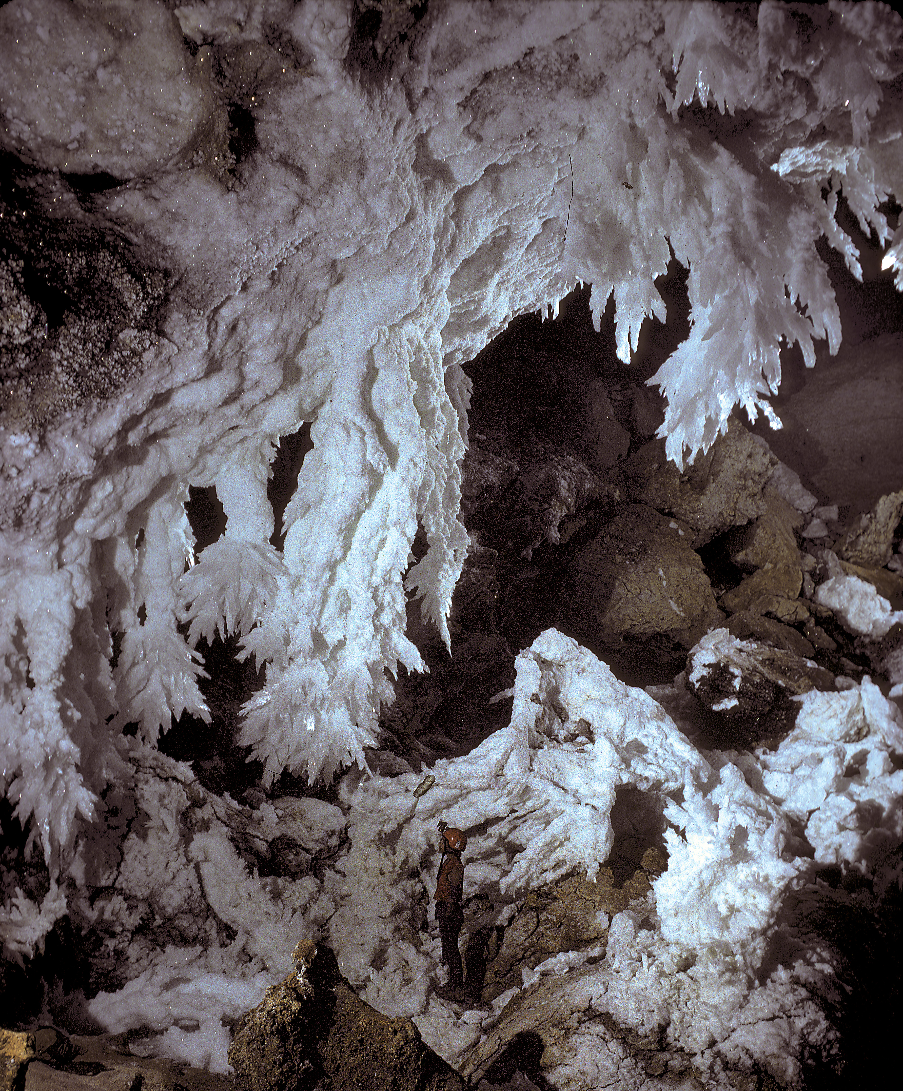
A solutional cave, solution cave, or karst cave is a cave usually formed in the soluble rock limestone. It is the most frequently occurring type of cave. It can also form in other rocks, including chalk, dolomite, marble, salt beds, and gypsum. Process Bedrock is dissolved by natural acid in groundwater that seeps through bedding-planes, faults, joints and so on. Over geological epochs these openings expand as the walls are dissolved to become caves or cave systems. The portions of a solutional cave that are below the water table or the local level of the groundwater will be flooded. Limestone caves The largest and most abundant solutional caves are located in limestone. Limestone caves are often adorned with calcium carbonate formations produced through slow precipitation. These include flowstones, stalactites, stalagmites, helictites, soda straws, calcite rafts and columns. These secondary mineral deposits in caves are called ''speleothems''. Carbonic acid dis ... [...More Info...] [...Related Items...] OR: [Wikipedia] [Google] [Baidu] |
Caves Of Sri Lanka
A cave or cavern is a natural void in the ground, specifically a space large enough for a human to enter. Caves often form by the weathering of rock and often extend deep underground. The word ''cave'' can refer to smaller openings such as sea caves, rock shelters, and grottos, that extend a relatively short distance into the rock and they are called ''exogene'' caves. Caves which extend further underground than the opening is wide are called ''endogene'' caves. Speleology is the science of exploration and study of all aspects of caves and the cave environment. Visiting or exploring caves for recreation may be called ''caving'', ''potholing'', or ''spelunking''. Formation types The formation and development of caves is known as ''speleogenesis''; it can occur over the course of millions of years. Caves can range widely in size, and are formed by various geological processes. These may involve a combination of chemical processes, erosion by water, tectonic forces, microorgani ... [...More Info...] [...Related Items...] OR: [Wikipedia] [Google] [Baidu] |
Archaeological Sites In Sri Lanka
Archaeology or archeology is the scientific study of human activity through the recovery and analysis of material culture. The archaeological record consists of artifacts, architecture, biofacts or ecofacts, sites, and cultural landscapes. Archaeology can be considered both a social science and a branch of the humanities. It is usually considered an independent academic discipline, but may also be classified as part of anthropology (in North America – the four-field approach), history or geography. Archaeologists study human prehistory and history, from the development of the first stone tools at Lomekwi in East Africa 3.3 million years ago up until recent decades. Archaeology is distinct from palaeontology, which is the study of fossil remains. Archaeology is particularly important for learning about prehistoric societies, for which, by definition, there are no written records. Prehistory includes over 99% of the human past, from the Paleolithic until the advent of ... [...More Info...] [...Related Items...] OR: [Wikipedia] [Google] [Baidu] |
Landforms Of Badulla District
A landform is a natural or anthropogenic land feature on the solid surface of the Earth or other planetary body. Landforms together make up a given terrain, and their arrangement in the landscape is known as topography. Landforms include hills, mountains, canyons, and valleys, as well as shoreline features such as bays, peninsulas, and seas, including submerged features such as mid-ocean ridges, volcanoes, and the great ocean basins. Physical characteristics Landforms are categorized by characteristic physical attributes such as elevation, slope, orientation, stratification, rock exposure and soil type. Gross physical features or landforms include intuitive elements such as berms, mounds, hills, ridges, cliffs, valleys, rivers, peninsulas, volcanoes, and numerous other structural and size-scaled (e.g. ponds vs. lakes, hills vs. mountains) elements including various kinds of inland and oceanic waterbodies and sub-surface features. Mountains, hills, plateaux, and plains are the fo ... [...More Info...] [...Related Items...] OR: [Wikipedia] [Google] [Baidu] |


.jpg)
.jpg)