|
Badulla District
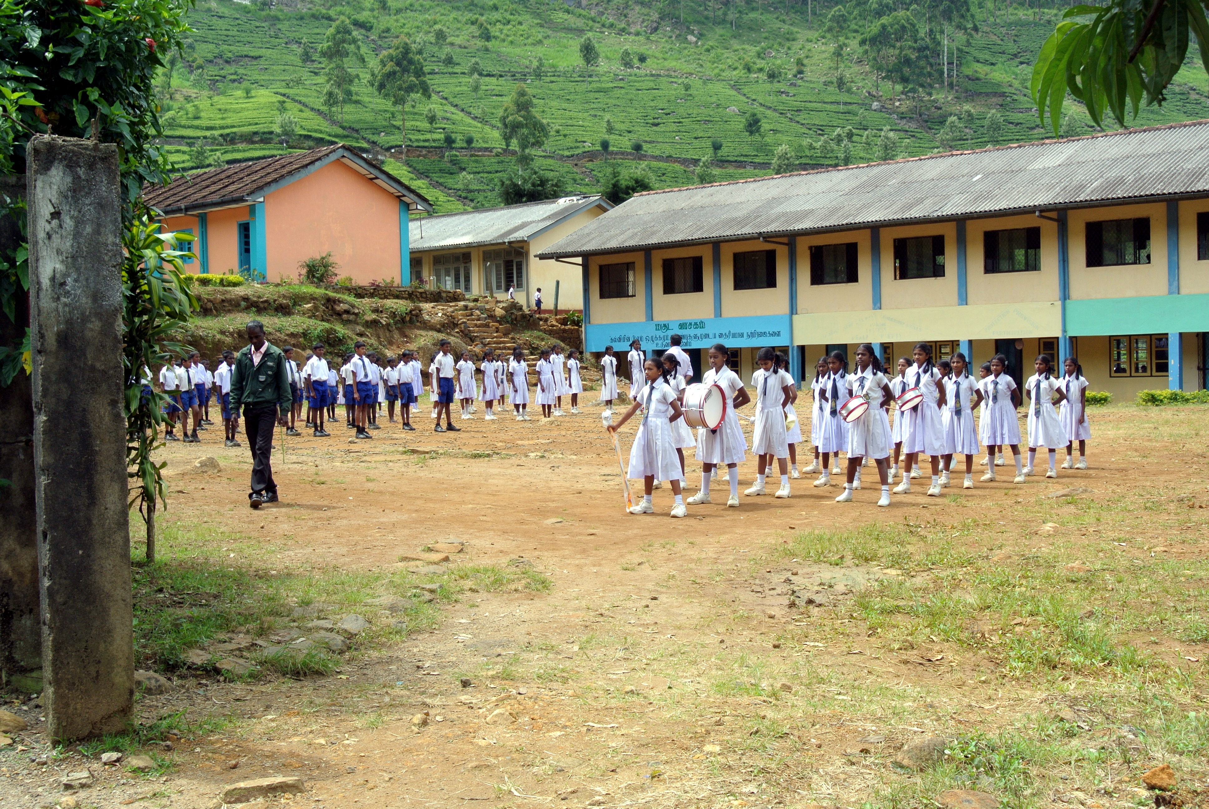
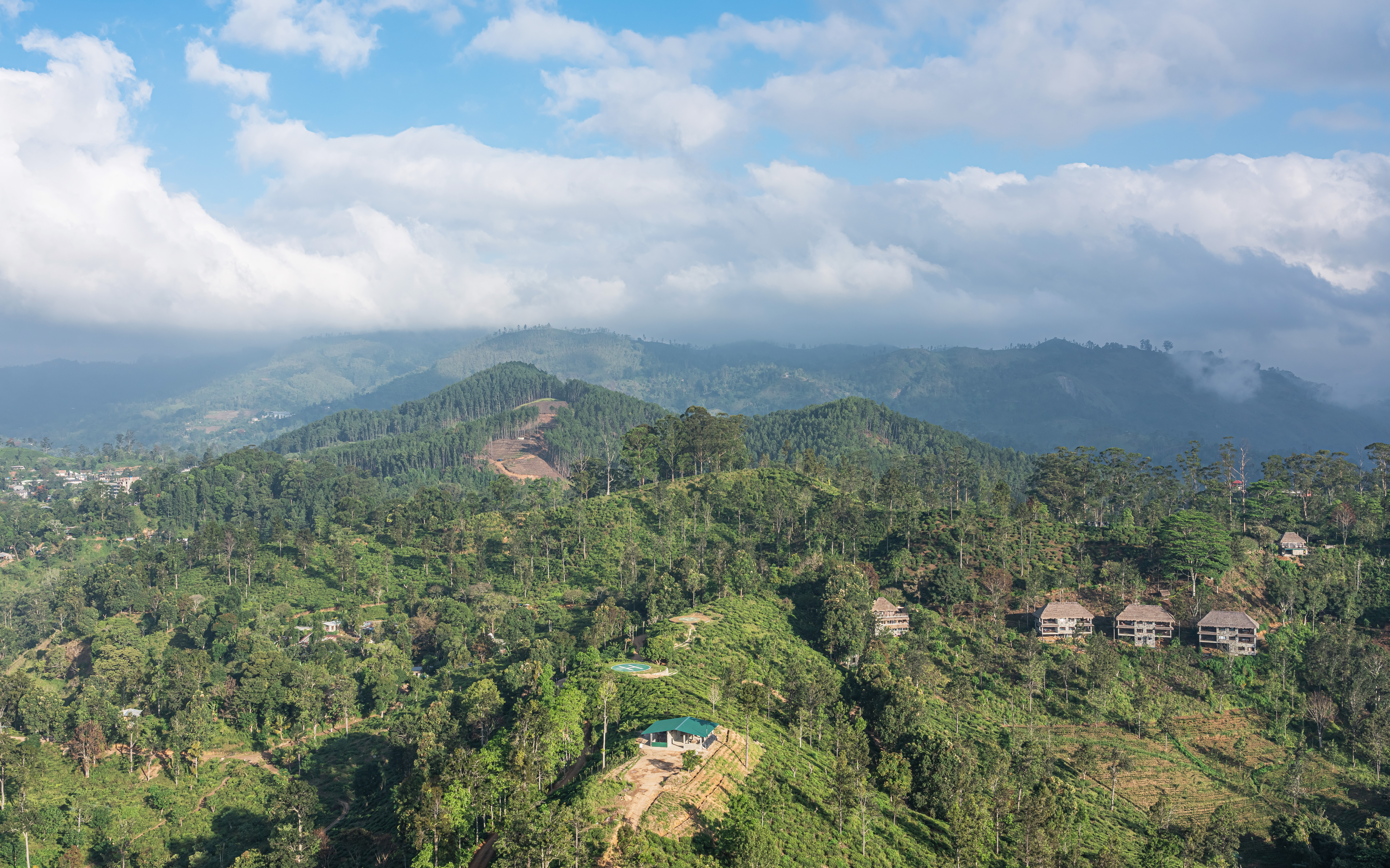
Badulla District ( si, බදුල්ල දිස්ත්රික්කය ''badūlla distrikkaya''; ta, பதுளை மாவட்டம் ''Patuḷai māvaṭṭam'') is a district in Uva Province, Sri Lanka. The entire land area of the Badulla district is and has a total population of 837,000. The district is bounded by the districts of Monaragala and Rathnapura on the east and south, by Ampara and Kandy districts to the north and by Nuwara Eliya and Matale to the west. Mainly the economy of the district is based on agricultural farming and livestock. Badulla District is an agricultural district where tea and various vegetables are cultivated. The district is divided into an upper region and a lower region which differ in climatic and geographic characteristics. The upper region of the district is known for tea plantations and vegetable cultivation while the lower region focuses more on paddy farming. Education *Saraswathy Central College *S.Thomas' College B ... [...More Info...] [...Related Items...] OR: [Wikipedia] [Google] [Baidu] |
Districts Of Sri Lanka
In Sri Lanka, districts ( si, දිස්ත්රික්ක, ''Distrikka'', ta, மாவட்டம், ''Māvaṭṭam'') are the second-level administrative divisions, and are included in a province. There are 25 districts organized into 9 provinces. Each district is administered under a district secretary, who is appointed by the central government. The main tasks of the district secretariat involve coordinating communications and activities of the central government and divisional secretariats. The district secretariat is also responsible for implementing and monitoring development projects at the district level and assisting lower-level subdivisions in their activities, as well as revenue collection and coordination of elections in the district. A district is divided into a number of Divisional Secretary's Divisions (commonly known as DS divisions), which are in turn subdivided into 14,022 grama niladhari divisions. There are 331 DS divisions in the country ... [...More Info...] [...Related Items...] OR: [Wikipedia] [Google] [Baidu] |
Livestock
Livestock are the domesticated animals raised in an agricultural setting to provide labor and produce diversified products for consumption such as meat, eggs, milk, fur, leather, and wool. The term is sometimes used to refer solely to animals who are raised for consumption, and sometimes used to refer solely to farmed ruminants, such as cattle, sheep, goats and pigs. Horses are considered livestock in the United States. The USDA classifies pork, veal, beef, and lamb (mutton) as livestock, and all livestock as red meat. Poultry and fish are not included in the category. The breeding, maintenance, slaughter and general subjugation of livestock, called '' animal husbandry'', is a part of modern agriculture and has been practiced in many cultures since humanity's transition to farming from hunter-gatherer lifestyles. Animal husbandry practices have varied widely across cultures and time periods. It continues to play a major economic and cultural role in numerous communities. Lives ... [...More Info...] [...Related Items...] OR: [Wikipedia] [Google] [Baidu] |
Haldummulla
Haldummulla ( si, හල්දුම්මුල්ල) is a town in the Badulla District, Uva Province, Sri Lanka. The town suffered significant damage from a 2014 Badulla landslide, landslide in 2014. Attractions * Bambarakanda Falls]* Ohiya and Horton Plains National Park, Horton Plains via Kalupahana and Udaweriya Estate Archeological sites Prehistoric burial ground In 2010, a group of researchers found some evidence of a Prehistoric burial ground. Prehistoric settlement In 2011 archaeologists found evidence for an ancient settlement, the oldest and first ancient human dwelling to be found in the central hills in Sri Lanka. Soragune Devalaya The Soragune Devalaya is a Buddhist temple dedicated to Kataragama deviyo. It was constructed by a provincial ruler of the area, in 1582, who was seeking the blessing/protection of Kataragama, while he was away from the province. The temple was destroyed by the Dutch but was subsequently reconstructed. The temple was declar ... [...More Info...] [...Related Items...] OR: [Wikipedia] [Google] [Baidu] |
Ella, Sri Lanka
Ella (; ''Lit.'' "water fall"; ta, எல்ல) is a small town in the Badulla District of Uva Province, Sri Lanka governed by an Urban Council. It is approximately east of Colombo and is situated at an elevation of above sea level. The area has a rich bio-diversity, dense with numerous varieties of flora and fauna. Ella is surrounded by hills covered with cloud forests and tea plantations. The town has a cooler climate than surrounding lowlands, due to its elevation. The Ella Gap allows views across the southern plains of Sri Lanka. Transport Road Located on the Colombo-Badulla railway line, and the A16 highway ( Beragala-Hali Ela) a part of the Colombo-Badulla road. Rail Ella railway station is the 75th station on the Main Line and is located from Colombo. The station has one platform and all trains running on the Main Line stop at the station. The station opened in July 1918. Facilities Notable government institutions are : * Police station * Railway station * Main post ... [...More Info...] [...Related Items...] OR: [Wikipedia] [Google] [Baidu] |
Diyatalawa
Diyatalawa (දියතලාව, meaning “the watered plain”) is a former garrison town in the central highlands of Sri Lanka, in the Badulla District of Uva Province. It is situated at an altitude of and has become a popular destination for local holiday makers. It is home to the Diyatalawa Garrison of the Sri Lanka Army, which includes the Sri Lanka Military Academy, officer training centre of the army; SLAF Diyatalawa, the Sri Lanka Air Force's ground combat training centre; and facilities of the Sri Lanka Police. History It is not known when Diyatalawa became a training station for troops, but available records show that it was selected around 1885, when the British Army first established a garrison at Diyatalawa. At that time training was conducted at the Imperial Camp which is now occupied by the Gemunu Watch troops. On 8 August 1900, the British War Office established a concentration camp in Diyatalawa to house Boer prisoners captured in the Second Boer War. Const ... [...More Info...] [...Related Items...] OR: [Wikipedia] [Google] [Baidu] |
Welimada
Welimada (වැලිමඩ)is a town in the Badulla District of the Uva Province of Sri Lanka. Administration The Welimada town is now administered by the Welimada Divisional Council. Notable government institutions include: * Divisional Secretariat * Police Station * Government Hospital Places of interest *Divurumwela Old Temple *Sthripura Cave * Bomburu ella Waterfall *Manabharana Waterfalls - Lunuwattha *Boralanda Dairy Farms *18th Railway Tunnel *Reservoir of Umaoya Project Sthripura Cave Sthripura Cave is located at Kiriwanagama about 16 km from Welimada. The Cave consists of a series of three caves. It is believed from the legend, The cave had been used by the King Ravana of Sri Lanka to hide the princess Sita. According to the Ramayana, princess Sita was abducted from her husband, Prince Rama of India. Members of The Parliament * K. D. Sugathadasa 1947 - 1952 * M. B. Bambarapane 1952-1956 * K. M. P. Rajaratne 1956 -1965 *Percy Samaraweera (UNP) 1965-1970 and ... [...More Info...] [...Related Items...] OR: [Wikipedia] [Google] [Baidu] |
Mahiyangana
Mahiyanganaya is a town situated close to the Mahaweli River in Badulla District, Uva Province of Sri Lanka. It is said that Gautama Buddha visited Mahiyanganaya on the Duruthu full moon poya day in order to settle a dispute arose between Yakkas and Nagas (two tribes which then inhabited the area) and this was his first ever visit to Sri Lanka. Then the Buddha preached Dhamma to Sumana Saman, a leader in this area, to whom the Buddha gave a handful of his hair relic so that people could worship. After that Sumana Saman (now the god Sumana Saman) built a golden chethiya in which the sacred hair relic was deposited. Later on about seven chethiyas were built over the original golden chethiya from time to time, the last one being built by the King Dutugemunu. As such, this historic town is a very sacred place for Buddhists. The majority of the people in this area are engaged in paddy cultivation being the main economic activity. The name Mahiyangana is a Pali word (in Sinhalese Bint ... [...More Info...] [...Related Items...] OR: [Wikipedia] [Google] [Baidu] |
Bandarawela
Bandarawela ( Sinhala : බණ්ඩාරවෙල, pronounced ; Tamil: பண்டாரவெல) is the second largest town in the Badulla District which is away from Badulla. Bandarawela is away from Colombo and about away from Kandy, the two largest cities of Sri Lanka. Thanks to its higher altitude, compared to surrounding locations, Bandarawela has milder weather conditions throughout the year making it a tourist destination for locals. Bandarawela is within hours reach of surrounding towns and cities by both road and rail. The town is influenced by its colonial history and rests among dense, lush forestation occupying a niche among visitors as a base for eco-tourism. Politics The town is governed by a municipal council and headed by a mayor. The council is elected by popular vote and has nine members. There were 16,673 registered voters in the 2011 local authorities elections. Currently the municipal council is controlled by the United National Party which is one ... [...More Info...] [...Related Items...] OR: [Wikipedia] [Google] [Baidu] |
Uva College, Badulla
Uva College Badulla (Uva Maha Vidyalaya) is a public school in Uva province, Sri Lanka which was founded in 1867. A national school, controlled by the central government (as opposed to the Provincial Council), it provides primary and secondary education. Uva College has supplied many undergraduates from Badulla District to local universities. History Uva College was the first school established in Uva province in 1867 by the Diocesan mission of Ceylon. It is situated in the heart of Badulla town. From the inception the college had two halls and two dormitories with a science laboratory. Adjoining the office was the principal's quarters. The first principal was Mr. William. At first there were only twelve students and of these eight were Tamils. Seven students entered university. There were also several girls attending Advanced Level classes. The medium taught at that time was English and one subject was taught either in Sinhala or Tamil. Then the college came under the tutel ... [...More Info...] [...Related Items...] OR: [Wikipedia] [Google] [Baidu] |
Paddy Field
A paddy field is a flooded field (agriculture), field of arable land used for growing Aquatic plant, semiaquatic crops, most notably rice and taro. It originates from the Neolithic rice-farming cultures of the Yangtze River basin in southern China, associated with Austronesian peoples#Neolithic China, pre-Austronesian and Hmong–Mien languages, Hmong-Mien cultures. It was spread in prehistoric times by the Austronesian peoples#Austronesian expansion, expansion of Austronesian peoples to Island Southeast Asia, Southeast Asia including Northeastern India, Madagascar, Melanesia, Micronesia, and Polynesia. The technology was also acquired by other cultures in mainland Asia for rice farming, spreading to East Asia, Mainland Southeast Asia, and South Asia. Fields can be built into steep hillsides as Terrace (agriculture), terraces or adjacent to depressed or steeply sloped features such as rivers or marshes. They require a great deal of labor and materials to create and need l ... [...More Info...] [...Related Items...] OR: [Wikipedia] [Google] [Baidu] |


.jpg)