|
Hopton Heath
Hopton Heath, or Hoptonheath, is a hamlet in south Shropshire, England. The border with Herefordshire is close by. It lies on the border of the civil parishes of Clungunford and Hopton Castle. There is a railway station here - Hopton Heath railway station - which today is little more than a halt on the Heart of Wales Line. The hamlet grew as a result of the railway station's construction (in 1861) — it was built to serve the villages of Hopton Castle and Clungunford. Today, a couple of small businesses operate from units near the station and there is also a site of holiday lodges, called "Ashlea Pools". The B4367 and B4385 roads intersect at Hopton Heath. One mile to the west is the village (and castle) of Hopton Castle, and also nearby are the villages of Bedstone, Clungunford and the hamlets of Beckjay, Broadward, Heath (Herefordshire) and Abcott - with its ''Rocke Cottage'' (was ''Bird on the Rock'') tea rooms. The ''740'' bus service calls at Hopton Heath, with three ... [...More Info...] [...Related Items...] OR: [Wikipedia] [Google] [Baidu] |
Clungunford
Clungunford is a village and civil parish in south Shropshire, England, located near the border with Herefordshire. Village The village features St. Cuthbert's parish church. The River Clun flows just to the west of the village and can be crossed here by Clungunford Bridge. There are no pubs or shops in present times. The parish council runs the website www.clungunford.com which provides information on up and coming events. The village hall ("Clungunford Village Hall"), is managed by a charity and has undergone a full refurbishment in 2019 and has a well stocked bar that is run by a Community Interest Company and is open every Friday night and on other occasions when events are arranged. There is a coffee morning in the hall on the 2nd and 4th Thursdays of the month and a Table Tennis club on Tuesdays. A mobile Post office visits on Thursday for an hour from 11.45 in the car park outsode the Village Hall. The church (St Cuthbert's) is located on the western edge of the settlem ... [...More Info...] [...Related Items...] OR: [Wikipedia] [Google] [Baidu] |
Beckjay
Beckjay is a hamlet in the south of the English county of Shropshire. Its name, and that of the nearby hamlet of Jay (about south), is probably a reference to the family of Elias de Jay, who held the local manor of Bedston until 1349.''Transactions of the Shropshire Archaeological and Natural History Society'', VI, 1894, p.317 A relative of this family, Brian de Jay, was the last recorded master of the English Knights Templar. Forming part of the civil parish of Clungunford, Beckjay is close to the border with Herefordshire on the west bank of the River Clun. It was a medieval township. Nearby are the hamlets of Hopton Heath, which has a railway station on the Heart of Wales Line, and Broadward with its 18th-century hall. There is a Royal Mail post box in the hamlet. Postboxes in SY7 The settlement also features a house with ... [...More Info...] [...Related Items...] OR: [Wikipedia] [Google] [Baidu] |
Royal Mail
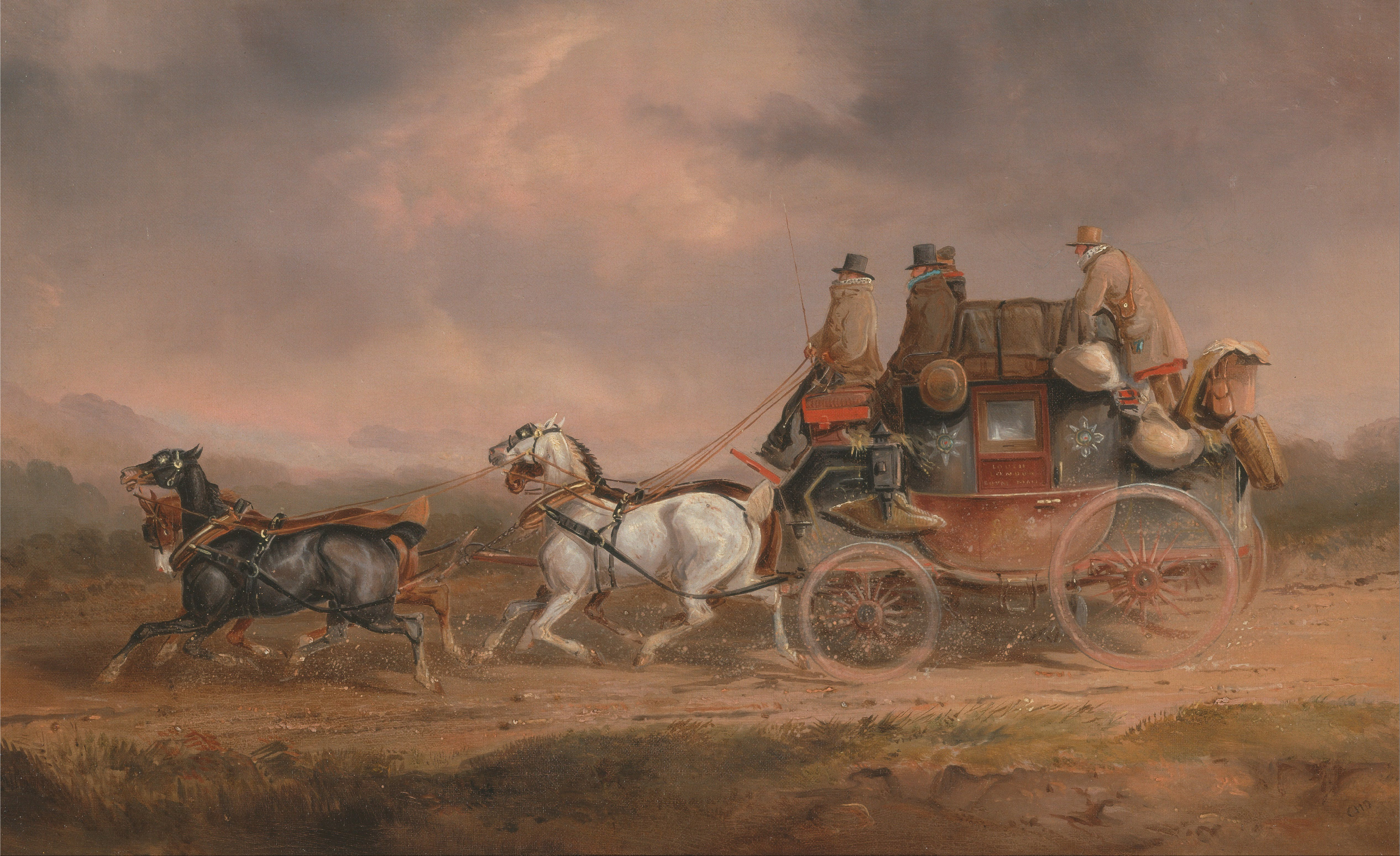
, kw, Postya Riel, ga, An Post Ríoga , logo = Royal Mail.svg , logo_size = 250px , type = Public limited company , traded_as = , foundation = , founder = Henry VIII , location = London, England, UK , key_people = * Keith Williams (Non-executive Chairman) * Simon Thompson (CEO) , area_served = United Kingdom , industry = Postal services, courier , products = , services = Letter post, parcel service, EMS, delivery, freight forwarding, third-party logistics , revenue = £12.638 billion(2021) , operating_income = £611 million (2021) , net_income = £620 million (2021) , num_employees = 158,592 (2021) , parent = , divisions = * Royal Mail * Parcelforce Worldwide , subsid = * General Logistics Systems * eCourier * StoreFeeder * Intersoft Systems & Programming , homepage = , dissolved = , footnotes = International Distributions Services plc (formerly Royal Mail plc), trading as Royal Mail, is a British multinational postal ser ... [...More Info...] [...Related Items...] OR: [Wikipedia] [Google] [Baidu] |
Knighton, Powys
Knighton ( cy, Tref-y-clawdd or ) is a cross-border market town and community on the River Teme, straddling the border between Powys, Wales and Shropshire, England. The Teme is not navigable in its higher reaches and the border does not follow its course exactly. Originally an Anglo-Saxon settlement, Knighton is located on Offa's Dyke, the ancient earthwork that divided the two countries. It later became a Norman defensive border town. Toponymy The Welsh name, ''Tref-y-clawdd'', meaning and referring to "town on the dyke", was first recorded in 1262 and officially given to the town in 1971. The name Knighton probably derives from the Old English ''cniht'' (a soldier, thane or freeman) and ''tūn'' (farm, settlement or homestead), and may have been founded through a grant of land to freemen. History Knighton's earliest history is obscure, despite some local clues: Caer Caradoc (an Iron Age hill fort associated with Caradoc or Caractacus) is away, off the road to Clun. Watlin ... [...More Info...] [...Related Items...] OR: [Wikipedia] [Google] [Baidu] |
Ludlow
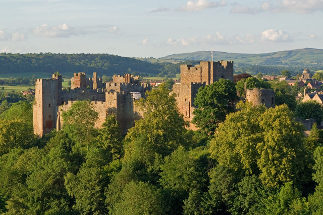
Ludlow () is a market town in Shropshire, England. The town is significant in the history of the Welsh Marches and in relation to Wales. It is located south of Shrewsbury and north of Hereford, on the A49 road which bypasses the town. The town is near the confluence of the rivers Corve and Teme. The oldest part is the medieval walled town, founded in the late 11th century after the Norman conquest of England. It is centred on a small hill which lies on the eastern bank of a bend of the River Teme. Situated on this hill are Ludlow Castle and the parish church, St Laurence's, the largest in the county. From there the streets slope downward to the rivers Corve and Teme, to the north and south respectively. The town is in a sheltered spot beneath Mortimer Forest and the Clee Hills, which are clearly visible from the town. Ludlow has nearly 500 listed buildings, including examples of medieval and Tudor-style half-timbered buildings. The town was described by Sir John Betjeman ... [...More Info...] [...Related Items...] OR: [Wikipedia] [Google] [Baidu] |
Abcott
Abcott is a hamlet (place), hamlet in south Shropshire, England. It lies on the west side of the River Clun, Shropshire, River Clun and its flood plain, just opposite from the village of Clungunford, which is the civil parishes in England, parish the hamlet is part of. The B4367 road crosses the Clun (at Clungunford Bridge) and passes the hamlet, on its way between Clungunford and Bucknell, Shropshire, Bucknell. A country lane, lane connects the B4367 at Abcott and Twitchen, Shropshire, Twitchen. The famous ''Rocke Cottage'' Teahouse, tea rooms is situated on the B road at Abcott (formerly the ''Bird on the Rock'' tea rooms, and historically the ''Rocke Arms'' public house). Abcott Manor is a Grade II* ("two star") Listed building. Abcott was a medieval township (England), township, despite its proximity to the parish's main village and parish church (St Cuthbert's) just on the other side of the Clun. The ''740'' bus service calls at Abcott, outside the tea rooms, with three ... [...More Info...] [...Related Items...] OR: [Wikipedia] [Google] [Baidu] |
Heath, Herefordshire
Heath (or The Heath) is a dispersed hamlet in north Herefordshire, England. It lies in the civil parish of Leintwardine, on the other side of the River Clun northwest of that village. Two equidistant routes between Leintwardine and Heath are possible: via the B-roads and Broadward Bridge, or via Jay Bridge (both bridges crossing the Clun).Ordnance Survey mapping The hamlets of Heath and nearby Jay formed a single township and whilst in the present day form part of the civil parish of Leintwardine, and thus a part of Herefordshire, they were regarded as being part of Shropshire until the mid-19th century. Heath Farm is a large farm with eight recently constructed chicken breeding barns (situated by the Heart of Wales Line). The area was until recently dominated by arable farming, but today is much more diversified. Heath House is a country house and has extensive stables for horses. The Heath House estate has a number of houses and substantial outbuildings in proximity to the ... [...More Info...] [...Related Items...] OR: [Wikipedia] [Google] [Baidu] |
Broadward
Broadward is a dispersed hamlet in south Shropshire, England, situated by the border with Herefordshire. It is in the civil parish of Clungunford, a village approximately to the north.Ordnance Survey mapping Geography The placename is shared by a number of buildings in the area, including Broadward Hall, a country house. The River Clun flows to the east of Broadward (from north to south) and after passing Broadward exits Shropshire and enters Herefordshire; the river here is a private fishery. The stretch of the River Clun south of Broadward Bridge is a Site of Special Scientific Interest. Broadward lies generally at an elevation of above sea level, on gently undulating land within the lower Clun Valley. The hamlet lies just above the flood plain, which is quite extensive, with the fields between the hall and the River Clun being flood meadows. Agriculture in the area is a mixture of arable and livestock (traditionally sheep and cattle) farming. Broadward is situated on t ... [...More Info...] [...Related Items...] OR: [Wikipedia] [Google] [Baidu] |
Bedstone
Bedstone is a small village and civil parish in south Shropshire, England, close to the border with Herefordshire. The village is approximately from the railway stations at Hopton Heath and Bucknell and is situated just off the B4367 road. Bedstone College Bedstone College, an independent boarding and day school founded in 1948, was purchased in 2017 by London & Oxford Group, an asset management and investment banking firm specialising in introduction of Chinese investment to the UK Education sector. LOG has reportedly made little or no governance changes to the school and "giving its full support to the current management team at Bedstone." Famous former pupils include the present Astronomer Royal, Sir Martin Rees (whose parents founded the school), now Baron Rees of Ludlow, and explorer and TV presenter Monty Halls. The current head is Toby Mullins. Educating around 220 day and boarding students, the College is not selective and does not require pupils to sit an entrance ex ... [...More Info...] [...Related Items...] OR: [Wikipedia] [Google] [Baidu] |
Hopton Castle (village)
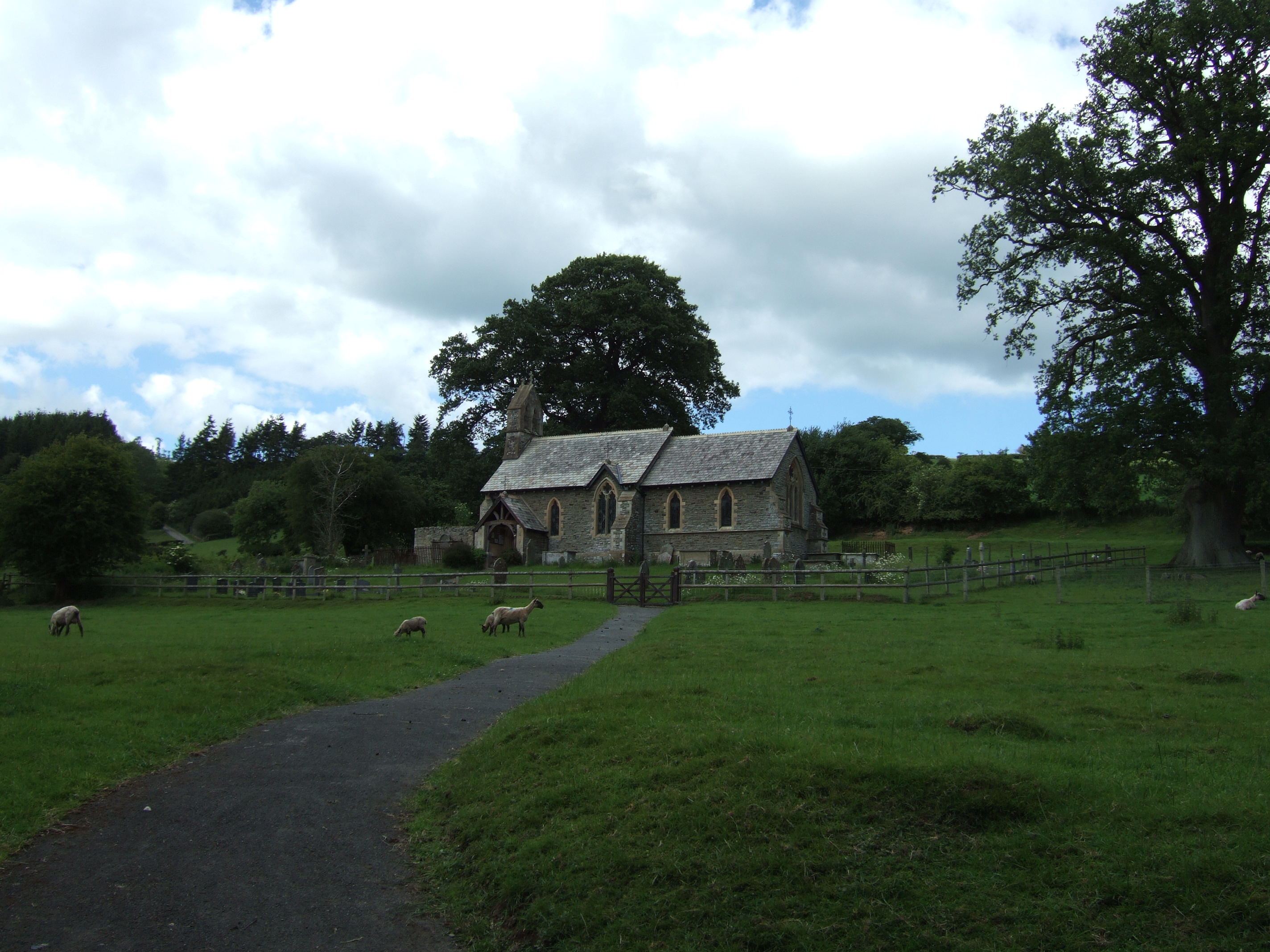
Hopton Castle is a small village and civil parish in south Shropshire, England. The village grew up near to the keep of Hopton Castle, which was opened as a visitor attraction in 2011. Nearby is the hamlet of Hopton Heath, with its railway station on the Heart of Wales Line. Also nearby are the villages of Bedstone, Bucknell and Clungunford. Instead of a parish council it has a parish meeting; Map of Local Joint Committee 19 this is due to the very small population of the parish. Hopton Titterhill Within the parish, to the southwest of the village, lies Hopton Titterhill, a wooded hill which is |
Heart Of Wales Line
The Heart of Wales line ( cy, Llinell Calon Cymru) is a railway line running from Craven Arms in Shropshire to Llanelli in southwest Wales. It serves a number of rural centres, including the nineteenth-century spa towns Llandrindod Wells, Llangammarch Wells and Llanwrtyd Wells. At Builth Road, two miles (3.3 km) from the town of Builth Wells, the line crosses the former route of the earlier Mid Wales Railway, which closed in the 1960s. History Historically, the line was known as the Central Wales line ( cy, Rheilffordd Canol Cymru)Network Railbr>still uses the name for the line in an infrastructure sense. and also included routes through Gowerton, where the railway crossed the West Wales lines and ran through Dunvant and Killay then down through the Clyne Valley to Blackpill, and then along the sea wall to Swansea Bay station, (near the former slip bridge) before finally reaching Swansea Victoria railway station. This section, originally built by the Llanelly Railway ... [...More Info...] [...Related Items...] OR: [Wikipedia] [Google] [Baidu] |
Hopton Heath Railway Station
Hopton Heath railway station in Hopton Heath, Shropshire, England, lies on the Heart of Wales Line, south west of Shrewsbury. The station is in a very rural area: the nearest sizeable settlement is Hopton Castle, and further afield the larger villages of Clungunford and Leintwardine, Herefordshire. The station was for a number of years the least used National Rail station in Shropshire, but passenger numbers have increased and Broome is now the county's least used station. The station and line were constructed by the Knighton Railway and opened in 1861. Further construction and route openings in 1865 and 1868 subsequently put the station on a through route between Shrewsbury and Swansea. The railway station is located below street level, to the south of the B4385 road bridge. The original station building is now private housing. Originally there were two tracks running through, but one has been lifted with the "singling" of the line in general back in the early 1960s. In a ... [...More Info...] [...Related Items...] OR: [Wikipedia] [Google] [Baidu] |


.jpg)


