|
Hirschberg (Ohlstadt)
The Hirschberg is a meter high mountain in the Walchensee Mountains in the Bavarian Prealps. It lies on the border between the municipalities and cadastral of Ohlstadt in the north and Eschenlohe in the south. Location and Surroundings The Hirschberg is located about four kilometers east of Eschenlohe and five kilometers west of Walchensee. The center of the municipality of Ohlstadt is three kilometers to the north. South of the mountain runs the valley of the Eschenlaine, behind which the Ester Mountains with Simetsberg and Hohe Kisten are connected. About 500 meters north of the summit, the meter high Ölrain is located, from which a distinctive mountain ridge extends westward to the meter high '' Osterfeuerspitze''. The Hirschberg is forested up to the summit area. On the somewhat steeper southern side, the forest is partly interspersed with scree. Trails A forest road leads from Eschenlohe up the southern and eastern sides of the mountain to the ''Wankhütte'' () loc ... [...More Info...] [...Related Items...] OR: [Wikipedia] [Google] [Baidu] |
Ölrain
Ölrain is a mountain of Bavaria, Germany Germany,, officially the Federal Republic of Germany, is a country in Central Europe. It is the second most populous country in Europe after Russia, and the most populous member state of the European Union. Germany is situated betwe .... Bavarian Prealps Mountains of the Alps {{Bavaria-geo-stub ... [...More Info...] [...Related Items...] OR: [Wikipedia] [Google] [Baidu] |
Ester Mountains
The Ester MountainsBourne, Grant and Körner-Bourne, Sabine (2007). ''Walking in the Bavarian Alps'', 2nd ed., Cicerone, Milnthorpe, p.8 and 115-168. . (german: Estergebirge) are a small mountain range in Bavaria. They are classified either as part of Bavarian Prealps or the larger chain of Northern Limestone Alps. The range stretches for about 15 kilometres. From the west it is bordered by the valley of the river Loisach and from the east by Walchensee lake and the valley of the river Isar. With its highest peak being Krottenkopf (2,086 m), the highest part of the range just exceeds 2,000 m. The range is of composed of limestone. The treeline is around 1,700 m. Etymology Probably from preceltic ''ester'' (cf. basque ''Ezterenzubi'', occitan ''Esterel''). Peaks Most important summits The most important summits in the Ester range are the Krottenkopf (2,086 m), the Bischof (2,033 m), the Hohe Kisten (1,922 m), the Hoher Fricken (1,940 m) and the Simetsberg (1,836 m). The ... [...More Info...] [...Related Items...] OR: [Wikipedia] [Google] [Baidu] |
Mountain Bike
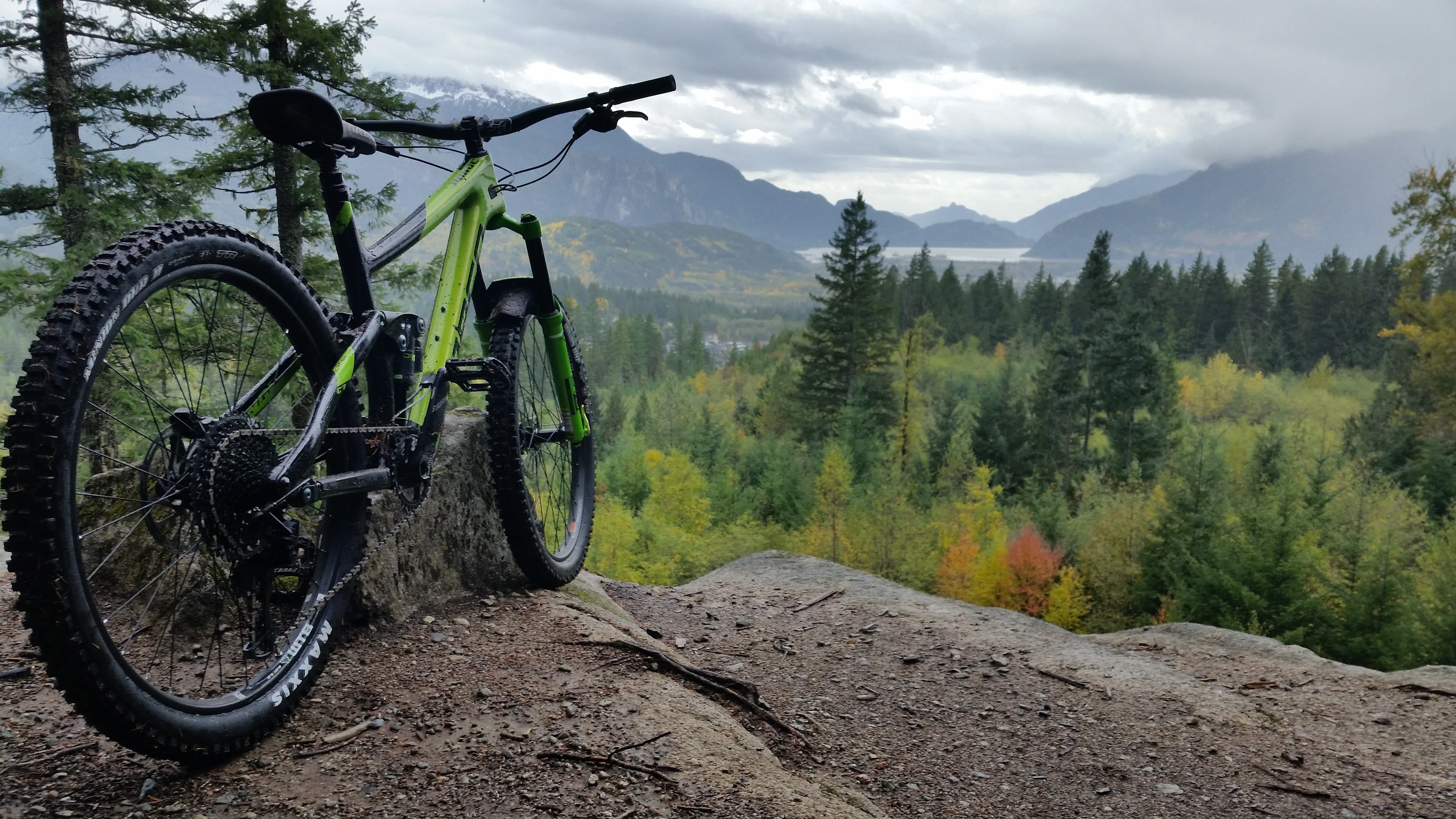
A mountain bike (MTB) or mountain bicycle is a bicycle designed for off-road cycling. Mountain bikes share some similarities with other bicycles, but incorporate features designed to enhance durability and performance in rough terrain, which makes them heavier, more complex and less efficient on smooth surfaces. These typically include a suspension fork, large knobby tires, more durable wheels, more powerful brakes, straight, extra wide handlebars to improve balance and comfort over rough terrain, and wide-ratio gearing optimised for topography and application (e.g., steep climbing or fast descending). Rear suspension is ubiquitous in heavier-duty bikes and now common even in lighter bikes. Dropper posts can be installed to allow the rider to quickly adjust the seat height (an elevated seat position is more effective for pedaling, but poses a hazard in aggressive maneuvers). Mountain bikes are generally specialized for use on mountain trails, single track, fire roads, and othe ... [...More Info...] [...Related Items...] OR: [Wikipedia] [Google] [Baidu] |
Landesamt Für Digitalisierung, Breitband Und Vermessung Bayern
The Bavarian State Office for Digitizing, Broadband and Survey (german: Landesamt für Digitalisierung, Breitband und Vermessung Bayern) or LDBV, until 31 December 2013 Bavarian State Office for Survey and Geoinformation (german: Landesamt für Vermessung und Geoinformation Bayern) or LVG, is the name of the new division of the Bavarian Department of Survey, Information and Communication Technology within the Bavarian State Ministry of Finance formed on 1 August 2005 as part of the administrative reform in Bavaria. It was formed by a merge of the Bavarian State Survey Office and the survey departments of the district finance divisions responsible for cadastral survey. The LDBV has its headquarters in Munich, discharging its function as a middle-level authority for the 51 survey offices through the three regional divisions in Munich, Landshut and Schwabach Schwabach () is a German city of about 40,000 inhabitants near Nuremberg in the centre of the region of Franconia in the ... [...More Info...] [...Related Items...] OR: [Wikipedia] [Google] [Baidu] |
Scree
Scree is a collection of broken rock fragments at the base of a cliff or other steep rocky mass that has accumulated through periodic rockfall. Landforms associated with these materials are often called talus deposits. Talus deposits typically have a concave upwards form, where the maximum inclination corresponds to the angle of repose of the mean debris particle size. The exact definition of scree in the primary literature is somewhat relaxed, and it often overlaps with both ''talus'' and ''colluvium''. The term ''scree'' comes from the Old Norse term for landslide, ''skriða'', while the term ''talus'' is a French word meaning a slope or embankment. In high-altitude arctic and subarctic regions, scree slopes and talus deposits are typically adjacent to hills and river valleys. These steep slopes usually originate from late-Pleistocene periglacial processes. Notable scree sites in Eastern North America include the Ice Caves at White Rocks National Recreation Area in southern Ve ... [...More Info...] [...Related Items...] OR: [Wikipedia] [Google] [Baidu] |
Osterfeuerkopf
Osterfeuerkopf is a mountain of Bavaria, Germany. It is located close to the Southern German city of Garmisch-Partenkirchen and Germany's tallest peak, the Zugspitze The Zugspitze (), at above Normalhöhennull, sea level, is the highest peak of the Wetterstein Mountains as well as the highest mountain in Germany. It lies south of the town of Garmisch-Partenkirchen, and the Austria–Germany border runs over .... In 2010, a German-Spanish expedition climbed to the top of the mountain, marking the first joint-expedition from these two European Union member states. Mountains of Bavaria Mountains of the Alps {{Bavaria-geo-stub ... [...More Info...] [...Related Items...] OR: [Wikipedia] [Google] [Baidu] |
Hohe Kisten
The Hohe Kisten is a mountain, , in the Ester range in the Bavarian Prealps and lies north of the Krottenkopf – the main summit of the Ester range. The ''Hohe Kisten'' is a mountain with two distinct sides: a rocky northern side on which the summit section looks like a large box (German: ''Kiste'' = box), and a gentle southern side on which the summit barely stands out at all. The summit may be reached on a straightforward mountain touring route from Wallgau. The climb from Eschenlohe into the Loisach valley thorough the Puster valley requires endurance and sure-footedness. Another approach is along the route near the arête from the Weilheimer Hut (1,946 m). For this one, it is worth considering using the ''Hohe Kisten'' as a crossing point: for example on a very long day tour from Eschenlohe via the Hohe Kisten and Weilheimer Hut to Oberau (using the Munich–Garmisch-Partenkirchen railway) or as part of a longer tour through the Ester Mountains. In the 1970s it was p ... [...More Info...] [...Related Items...] OR: [Wikipedia] [Google] [Baidu] |
Simetsberg (Ester Mountains)
Simetsberg (elevation ) is a mountain in the Bavarian Prealps of southern Germany. An isolated peak, it forms the eastern end of the Ester Mountains The Ester MountainsBourne, Grant and Körner-Bourne, Sabine (2007). ''Walking in the Bavarian Alps'', 2nd ed., Cicerone, Milnthorpe, p.8 and 115-168. . (german: Estergebirge) are a small mountain range in Bavaria. They are classified either as par .... References Mountains of Bavaria Bavarian Prealps Mountains of the Alps {{Bavaria-geo-stub ... [...More Info...] [...Related Items...] OR: [Wikipedia] [Google] [Baidu] |
Bavaria
Bavaria ( ; ), officially the Free State of Bavaria (german: Freistaat Bayern, link=no ), is a state in the south-east of Germany. With an area of , Bavaria is the largest German state by land area, comprising roughly a fifth of the total land area of Germany. With over 13 million inhabitants, it is second in population only to North Rhine-Westphalia, but due to its large size its population density is below the German average. Bavaria's main cities are Munich (its capital and largest city and also the third largest city in Germany), Nuremberg, and Augsburg. The history of Bavaria includes its earliest settlement by Iron Age Celtic tribes, followed by the conquests of the Roman Empire in the 1st century BC, when the territory was incorporated into the provinces of Raetia and Noricum. It became the Duchy of Bavaria (a stem duchy) in the 6th century AD following the collapse of the Western Roman Empire. It was later incorporated into the Holy Roman Empire, became an ind ... [...More Info...] [...Related Items...] OR: [Wikipedia] [Google] [Baidu] |
Walchensee
Walchensee or Lake Walchen is one of the deepest and largest alpine lakes in Germany, with a maximum depth of and an area of . The lake is south of Munich in the middle of the Bavarian Alps. The entire lake, including the island of Sassau, is within the municipality of Kochel. The lake and island are owned by the Bavarian State. To the east and the south, the lake borders the municipality of Jachenau. Etymology The name ''Walchen'' comes from Middle High German and means "strangers". All Roman and romanized peoples of the Alps south of Bavaria were known to the locals as ''Welsche'' or even ''Walche''. This is also true of the etymology of the Swiss Lake Walen and the Salzburg Wallersee. Another possible interpretation is that it comes from the Latin ''Lacus vallensis'', meaning "lake in a valley". On 16th-century maps, the lake is also labelled ''dicto Italico'', meaning "leading to Italy", probably because the route through the Walchensee valley led through Mittenwald a ... [...More Info...] [...Related Items...] OR: [Wikipedia] [Google] [Baidu] |
Eschenlohe
Eschenlohe is a German municipality in the district of Garmisch-Partenkirchen, in Bavaria, on the Loisach River. Transport The district has a railway station, , on the Munich–Garmisch-Partenkirchen railway The Munich–Garmisch-Partenkirchen railway is a single track, electrified main line railway in the southern part of the German state of Bavaria. It runs from Munich via Starnberg and Murnau to Garmisch-Partenkirchen. The first part of it was op .... References Garmisch-Partenkirchen (district) {{GarmischPartenkirchen-geo-stub ... [...More Info...] [...Related Items...] OR: [Wikipedia] [Google] [Baidu] |


