|
Herznach-Ueken
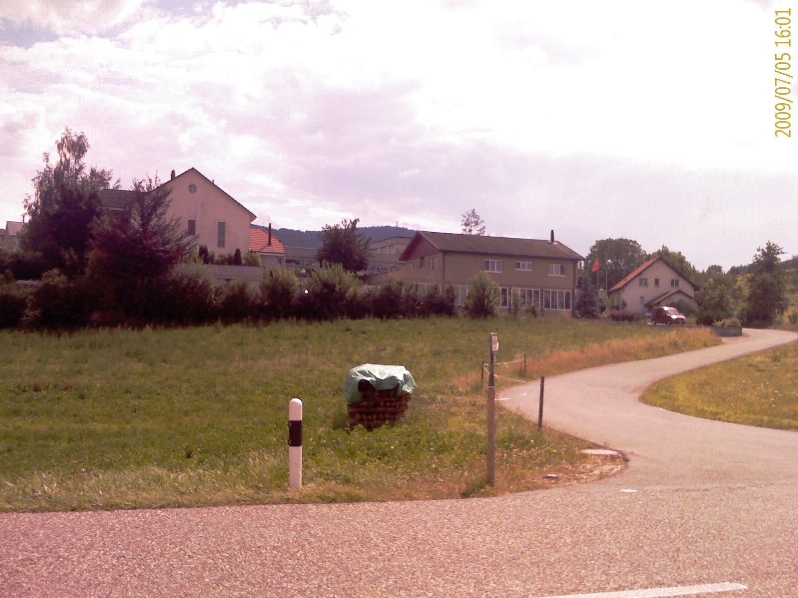
Herznach-Ueken is a municipality in the district of Laufenburg in the canton of Aargau in Switzerland. It was established on 1 January 2023 with the merger of the municipalities of Herznach and Ueken. History On 1 January 2023, the two municipalities of Herznach and Ueken merged to form the new municipality of Herznach-Ueken. Coat of arms The first blazon of the municipal coat of arms A coat of arms is a heraldry, heraldic communication design, visual design on an escutcheon (heraldry), escutcheon (i.e., shield), surcoat, or tabard (the latter two being outer garments). The coat of arms on an escutcheon forms the central ele ... is ''Gules a Pitcher Vert lip dexter and handled Or.'' The pitcher on the coat of arms is an attribute of Saint Verena to whom the chapel of Herznach is devoted. The second blazon is ''Or a St.Catherine's Wheel Sable.'' References External links {{Authority control Municipalities of Aargau 2023 establishments in Switzerland ... [...More Info...] [...Related Items...] OR: [Wikipedia] [Google] [Baidu] |
Laufenburg District
Laufenburg District is a district of the canton of Aargau, Switzerland, essentially consisting of the upper Fricktal valley in the Aargau Jura mountains, Jura south of the Rhine. Its capital is the town of Laufenburg, Switzerland, Laufenburg. It has a population of (as of ). Geography The Laufenburg district has an area, , of . Of this area, or 49.2% is used for agricultural purposes, while or 39.2% is forested. Of the rest of the land, or 10.4% is settled (buildings or roads). Demographics The Laufenburg district has a population () of . , 15.6% of the population are foreign nationals.Statistical Department of Canton Aargau -Bereich 01 -Bevölkerung accessed 20 January 2010 Economy there were 13,183 workers who lived in the district. Of these, 9,714 or about 73.7% of the re ...[...More Info...] [...Related Items...] OR: [Wikipedia] [Google] [Baidu] |
Herznach
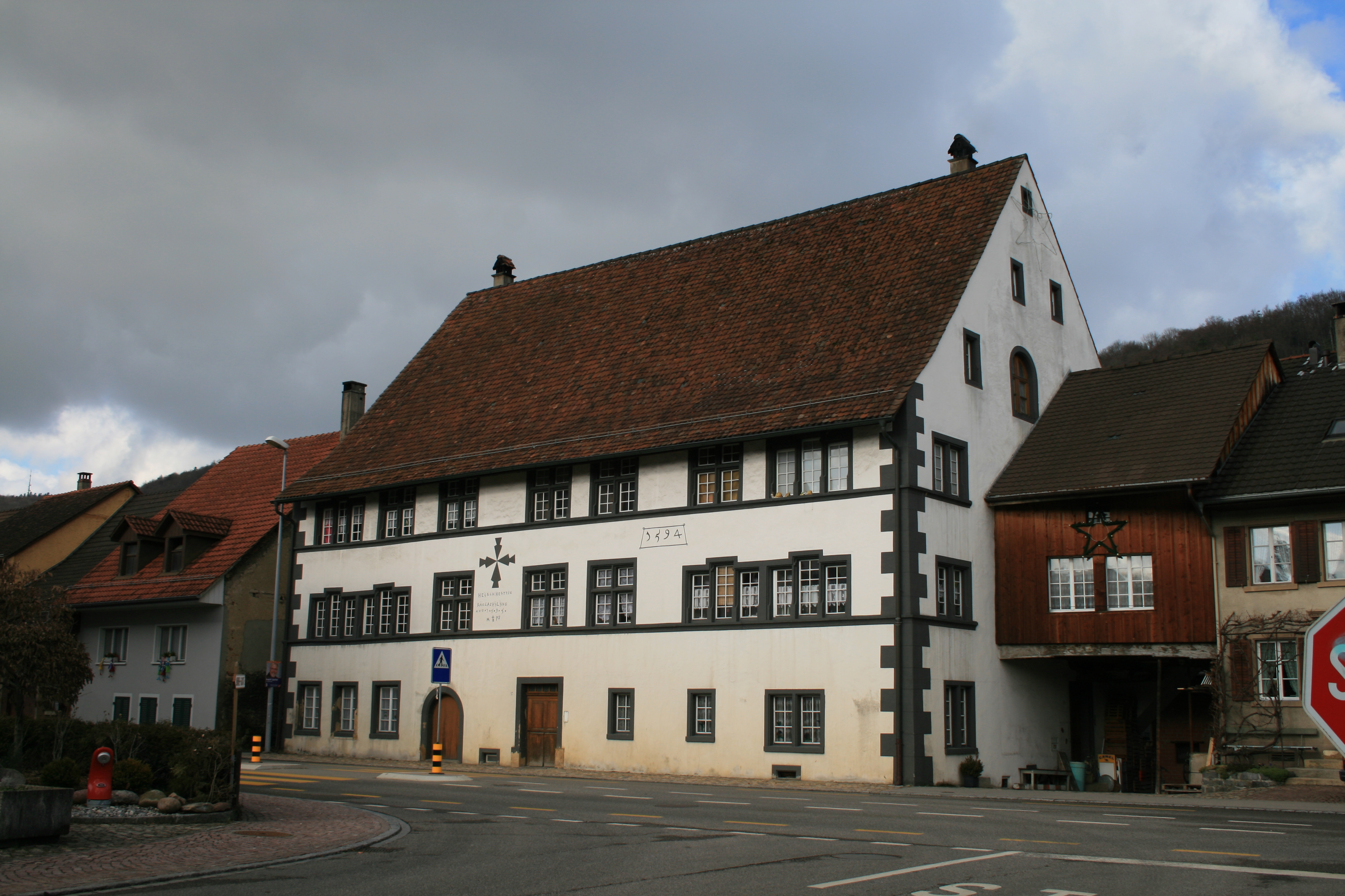
Herznach is a former municipalities of Switzerland, municipality in the district of Laufenburg (district), Laufenburg in the Cantons of Switzerland, canton of Aargau in Switzerland. On 1 January 2023 the former municipalities of Herznach and Ueken merged to form the new municipality of Herznach-Ueken. History While some Alamanni era graves have been discovered, the first mention of Herznach is in 1097 as ''Hercenahc''. The Ministerialis (unfree knights in the service of another lord) family von Herznach and Herznach castle are both mentioned. The castle was built on the foundations of a manor house from the 7th-10th Centuries. was built. Originally both Herznach and Ueken were ruled by the Homberger family. In the early 14th Century, the House of Habsburg, Habsburgs had the right to judge and punish theft and other felony, felonies in Herznach. Between the Imperial Reform (1495) of Maximilian I, Holy Roman Emperor, Maximilian I until the fall of the Early Modern Switzerland, ... [...More Info...] [...Related Items...] OR: [Wikipedia] [Google] [Baidu] |
Ueken
Ueken is a former municipalities of Switzerland, municipality in the district of Laufenburg (district), Laufenburg in the Cantons of Switzerland, canton of Aargau in Switzerland. On 1 January 2023 the former municipalities of Herznach and Ueken merged to form the new municipality of Herznach-Ueken. History In 2015, a farmer discovered coins dating back to the Roman Empire in his garden. The farmer contacted the regional archaeological service and 4,166 coins were excavated. An archaeologist who worked on the excavation described the find as "an exceptional discovery" and "a whole new category which is almost unique." The coins date from the reign of Aurelian in 274 CE to the reign of Maximian in 294 CE. The archaeologists hypothesize that the coins belonged to a tradesman or landowner. The coins will go on display at the Vindonissa de Brugg Museum in Aargau. Geography Ueken has an area, , of . Of this area, or 51.6% is used for agricultural purposes, while or 38.6% is forested ... [...More Info...] [...Related Items...] OR: [Wikipedia] [Google] [Baidu] |
Densbüren
Densbüren is a municipality in the Aarau District of the canton of Aargau in Switzerland. History Densbüren is first mentioned in the 14th century as ''Tensbuirron''. In 1426, it was mentioned as ''Teinspuiren''. Geography Densbüren has an area, , of . Of this area, 39.2% is used for agricultural purposes, while 55.7% is forested. Of the rest of the land, 4.8% is settled (buildings or roads) and the remainder (0.2%) is non-productive (rivers or lakes). The municipality is located in the Aarau District on the northern slope of the Staffelegg Pass, a regionally important pass over the Jura Mountains. It consists of the linear village of Densbüren and the hamlets of Asp. Coat of arms The blazon of the municipal coat of arms is ''Argent bordered Gules a Pine Tree Vert issuant from Coupeaux of the same.'' Demographics Densbüren has a population (as of ) of . , 7.7% of the population was made up of foreign nationals. [...More Info...] [...Related Items...] OR: [Wikipedia] [Google] [Baidu] |
Frick, Switzerland
Frick is a municipality in the district of Laufenburg in the canton of Aargau in Switzerland. History At the nearby ''Wittnauer Horn'', a prehistorical fortification was discovered, with object finds dated to the Late Bronze Age. A Roman villa was located at the site of the later village in the 2nd century, and a small Roman fort was built in the early 4th century to protect the military road from Vindonissa to Augusta Raurica (extended in AD 370). A Roman settlement developed in the vicinity of the fort, replaced by an Alemannic settlement during the 6th to 9th centuries. The Alemannic settlement had a fortified church, the foundations are still visible near the current village church. The name of the village was taken from that of the encompassing region of Frickgau (mentioned as ''Frichgowe'' in 926), from a Vulgar Latin , in reference to the iron mine located here in the Roman era (a formation based on Latin ''ferrāria'' "iron mine" with the ''-icius'' suffix), ... [...More Info...] [...Related Items...] OR: [Wikipedia] [Google] [Baidu] |
Gipf-Oberfrick
Gipf-Oberfrick is a municipality in the district of Laufenburg in the canton of Aargau in Switzerland. History Discoveries in the area that would become Gipf-Oberfrick indicated that there were several earlier settlements. These finds include; several Bronze Age items, La Tène culture graves and Roman era buildings and a farm house from the 1st to 4th Centuries. The modern village of Gipf is first mentioned in 1259 as ''Cubibe''. In 1276 it was mentioned as ''Gipff'', and in 1278 as ''Guffpha''. In 1288 Oberfrick was mentioned as ''Obiren Vrieche''. At one time the castle of Alt-Thierstein was above the village on the ''Tiersteinberg''. The castle is now a ruin. Before 1232 the village was owned by the count of Homberg-Thierstein. After 1232 it came under the authority of the lords of Frick, a Habsburg vassal. In 1406 the Lords of Eptingen acquired the village and then later it came to the city of Basel. In 1534 the rights to the village fell back to Austria and it b ... [...More Info...] [...Related Items...] OR: [Wikipedia] [Google] [Baidu] |
Hornussen, Aargau
Hornussen is a former municipality in the district of Laufenburg in the canton of Aargau in Switzerland. On 1 January 2022 the former municipalities of Bözen, Effingen, Elfingen and Hornussen merged into the new municipality of Böztal. History Scattered archeological discoveries indicate that the land that would become Hornussen was lightly occupied during the Stone Age. During the Roman era, it was located on the important route over the ''Bözberg''. However, the first mention of Hornussen is in 1281 as ''Hornescon''. Until the 1802 Act of Mediation, all manor rights to the village were held by collegiate church of Säckingen. Until 1797 it was part of the Austrian- Habsburg Rheinfelden District. Since 1803 Hornussen has belong to the Canton of Aargau. Starting in the 15th Century, the Manor of Hornussen had a formal special status within the Habsburg territory. The lord of the manor was the court of appeals for all of Säckingen and also the economic center of ... [...More Info...] [...Related Items...] OR: [Wikipedia] [Google] [Baidu] |
Wölflinswil
Wölflinswil is a municipality in the district of Laufenburg in the canton of Aargau in Switzerland. Geography Wölflinswil has an area, , of . Of this area, or 62.3% is used for agricultural purposes, while or 31.0% is forested. Of the rest of the land, or 6.4% is settled (buildings or roads), or 0.1% is either rivers or lakes.Swiss Federal Statistical Office-Land Use Statistics 2009 data accessed 25 March 2010 Of the built up area, housing and buildings made up 3.9% and transportation infrastructure made up 2.0%. Out of the forested land, 28.9% of the total land area is heavily forested and 2.1% is covered with orchards or small clusters of trees. Of the agricultural land, 39.4% is used for growing crops and 18.2% is pastures, while 4.6% is us ... [...More Info...] [...Related Items...] OR: [Wikipedia] [Google] [Baidu] |
Zeihen
Zeihen is a municipalities of Switzerland, municipality in the district of Laufenburg (district), Laufenburg in the Cantons of Switzerland, canton of Aargau in Switzerland. Geography Zeihen has an area, , of . Of this area, or 50.9% is used for agricultural purposes, while or 40.7% is forested. Of the rest of the land, or 8.6% is settled (buildings or roads), or 0.1% is either rivers or lakes and or 0.1% is unproductive land.Swiss Federal Statistical Office-Land Use Statistics 2009 data accessed 25 March 2010 Of the built up area, housing and buildings made up 4.7% and transportation infrastructure made up 3.5%. Out of the forested land, 37.5% of the total land area is heavily forested and 3.2% is covered with orchards or small clusters of trees. ... [...More Info...] [...Related Items...] OR: [Wikipedia] [Google] [Baidu] |
Municipalities Of Switzerland
Municipalities (german: Gemeinden, ' or '; french: communes; it , comuni; rm, vischnancas) are the lowest level of administrative division in Switzerland. Each municipality is part of one of the Swiss cantons, which form the Swiss Confederation. In most cantons, municipalities are also part of districts or other sub-cantonal administrative divisions. There are 2,136 municipalities . Their populations range between several hundred thousand (Zürich), and a few dozen people (Kammersrohr, Bister), and their territory between 0.32 km² (Rivaz) and 439 km² (Scuol). History The beginnings of the modern municipality system date back to the Helvetic Republic. Under the Old Swiss Confederacy, citizenship was granted by each town and village to only residents. These citizens enjoyed access to community property and in some cases additional protection under the law. Additionally, the urban towns and the rural villages had differing rights and laws. The creation of a uniform Swiss ... [...More Info...] [...Related Items...] OR: [Wikipedia] [Google] [Baidu] |
Cantons Of Switzerland
The 26 cantons of Switzerland (german: Kanton; french: canton ; it, cantone; Sursilvan and Surmiran: ; Vallader and Puter: ; Sutsilvan: ; Rumantsch Grischun: ) are the member states of the Swiss Confederation. The nucleus of the Swiss Confederacy in the form of the first three confederate allies used to be referred to as the . Two important periods in the development of the Old Swiss Confederacy are summarized by the terms ('Eight Cantons'; from 1353–1481) and ('Thirteen Cantons', from 1513–1798).rendered "the 'confederacy of eight'" and "the 'Thirteen-Canton Confederation'", respectively, in: Each canton of the Old Swiss Confederacy, formerly also ('lieu/locality', from before 1450), or ('estate', from ), was a fully sovereign state with its own border controls, army, and currency from at least the Treaty of Westphalia (1648) until the establishment of the Swiss federal state in 1848, with a brief period of centralised government during the Helvetic Republic ( ... [...More Info...] [...Related Items...] OR: [Wikipedia] [Google] [Baidu] |
Aargau
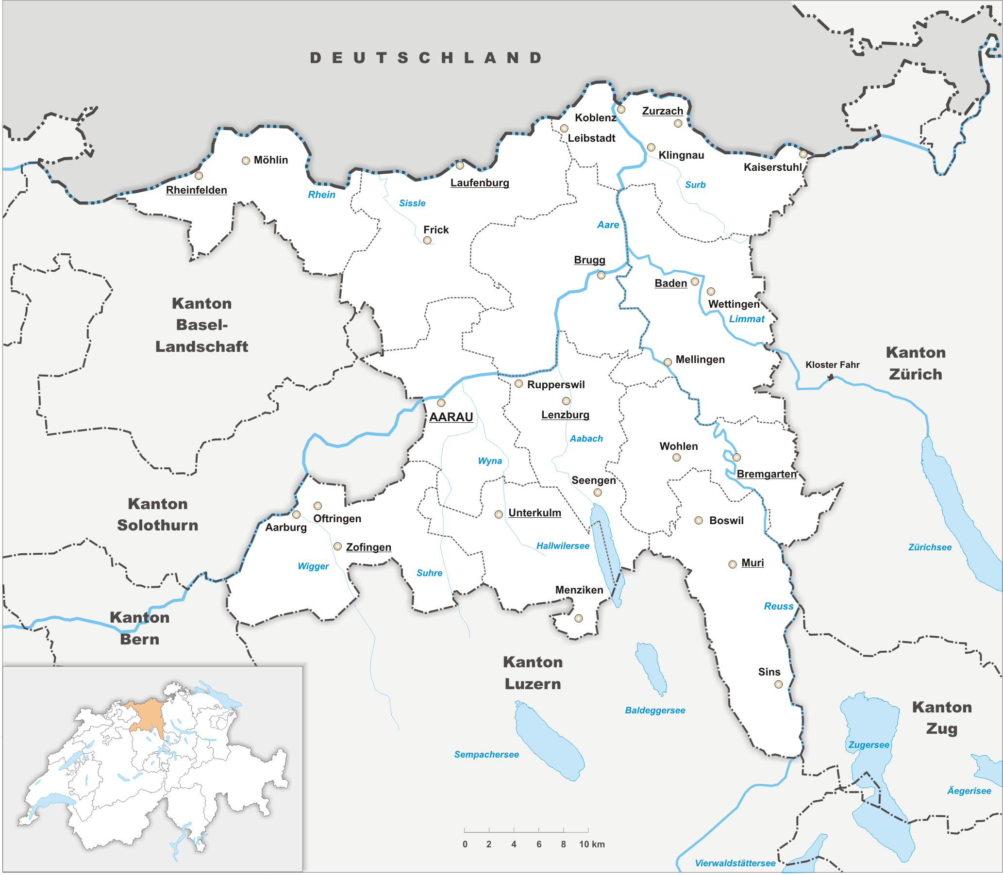
Aargau, more formally the Canton of Aargau (german: Kanton Aargau; rm, Chantun Argovia; french: Canton d'Argovie; it, Canton Argovia), is one of the 26 cantons forming the Swiss Confederation. It is composed of eleven districts and its capital is Aarau. Aargau is one of the most northerly cantons of Switzerland. It is situated by the lower course of the Aare River, which is why the canton is called ''Aar- gau'' (meaning "Aare province"). It is one of the most densely populated regions of Switzerland. History Early history The area of Aargau and the surrounding areas were controlled by the Helvetians, a member of the Celts, as far back as 200 BC. It was eventually occupied by the Romans and then by the 6th century, the Franks. The Romans built a major settlement called Vindonissa, near the present location of Brugg. Medieval Aargau The reconstructed Old High German name of Aargau is ''Argowe'', first unambiguously attested (in the spelling ''Argue'') in 795. The term ... [...More Info...] [...Related Items...] OR: [Wikipedia] [Google] [Baidu] |


