|
Henry Küss
Henry Küss (or Henry Kuss, sometimes Henri Küss, 19 June 1852 – 22 November 1914) was a French mining engineer. After brilliant studies at the École Polytechnique and École des Mines he was placed in charge of the mineralogical sub-district around Grenoble. While holding this position, he made overseas trips to Uruguay, Mozambique, Argentina, Peru, Bolivia, Spain, Tunisia and Australia (twice) to assess the potential of mining concessions, earning a high reputation among financiers. He was appointed an inspector-general of mines, and made important contributions to mining education and mine safety and hygiene regulations. Early years Henry Küss was born in Cernay, Haut-Rhin, on 19 June 1852. He came from an old Alsace family. His father was Jean-Frédéric Küss (1805–62), a pastor, and his grandfather was Georges Charles Küss, an inspector of records at Colmar and Wissembourg. An uncle and a cousin belonged to the Corps des ponts et chaussées, and another cousin ... [...More Info...] [...Related Items...] OR: [Wikipedia] [Google] [Baidu] |
École Des Mines De Paris
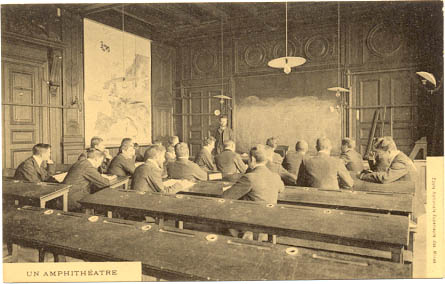
Mines Paris - PSL, officially École nationale supérieure des mines de Paris (until May 2022 Mines ParisTech, also known as École des mines de Paris, ENSMP, Mines de Paris, les Mines, or Paris School of Mines), is a French grande école and a constituent college of PSL Research University. It was originally established in 1783 by King Louis XVI. Mines Paris is distinguished for the outstanding performance of its research centers and the quality of its international partnerships with other prestigious universities in the world, which include Massachusetts Institute of Technology (MIT), California Institute of Technology (Caltech), Harvard John A. Paulson School of Engineering and Applied Sciences (Harvard SEAS), Shanghai Jiao Tong University, University of Hong Kong, National University of Singapore (NUS), Novosibirsk State University, Pontifical Catholic University of Chile, and Tokyo Tech. Mines Paris also publishes a world university ranking based on the number of alumni h ... [...More Info...] [...Related Items...] OR: [Wikipedia] [Google] [Baidu] |
Corps Des Mines
The ''Corps des mines'' is the foremost technical Grand Corps of the French State (grands corps de l'Etat). It is composed of the state industrial engineers. The Corps is attached to the French Ministry of Economy and Finance. Its purpose is to entice French students in mathematics and physics to serve the government and train them for executive careers in France. Members are educated at the École nationale supérieure des mines de Paris, also known as Mines ParisTech. Each year, the Corps recruits between 10 and 20 members. Most of them are alumni from École polytechnique, who are usually among the top ranked students, others come from École normale supérieure (ENS), Télécom Paris or regular graduates of the Mines ParisTech. Upon graduation, ''Corps des mines'' engineers hold executive positions in the French administration. ''Corps des mines'' engineers tend to hold top executive positions in France's major industrial companies in the course of their career. Being ad ... [...More Info...] [...Related Items...] OR: [Wikipedia] [Google] [Baidu] |
Medjerda River
The Medjerda River ( ar, وادي مجردة), the classical Bagrada, is a river in North Africa flowing from northeast Algeria through Tunisia before emptying into the Gulf of Tunis and Lake of Tunis. With a length of , it is the longest river of Tunisia. It is also known as the Wadi Majardah or Mejerha (french: Oued Majardah). Course The Medjerda River originates in the Tell Atlas, part of the Atlas Mountains, in northeastern Algeria and then flows eastwards to Tunisia, then entering the Gulf of Utica of the Mediterranean Sea. Its course has a length of . It is the most important and longest river in Tunisia and is dammed in several locations, being a major supplier of water to the country's wheat crops. The Gulf of Utica was formed during the postglacial transgression about 6,000 years ago. Over time, fluvial deposits from the Medjerda gradually filled up the northern part of the gulf. The succession of events during historical times has been inferred from ancient documents a ... [...More Info...] [...Related Items...] OR: [Wikipedia] [Google] [Baidu] |
Compagnie Des Chemins De Fer Bône-Guelma
The Compagnie des chemins de fer Bône-Guelma (Bône-Guelma Railway Company) built and operated railway lines in Algeria and Tunisia between 1875 and 1923 during the French colonial period. In 1923 it became the Compagnie fermière des chemins de fer tunisiens. History The Bone-Guelma Railway Company was founded in 1875. The concession for construction of the line from Bone to Guelma, between the French government and the Société de Construction des Batignolles, was ceded by the latter in 1876 to the Bône-Guelma Railway Company, which had been founded by Ernest Goüin, with the assistance of the Banque de Paris et des Pays-Bas, of which Goüin was a director. The Bone-Guelma company contracted with Batignolles to build the line. It developed its network in Algeria and Tunisia with respectively and in each of the two countries. The line had a station at Taya, eight kilometers by mule track from the Djebel Taya antimony mine . The Algerian network was purchased by the S ... [...More Info...] [...Related Items...] OR: [Wikipedia] [Google] [Baidu] |
Tacna
Tacna is a city in southern Peru and the regional capital of the Tacna Region. A very commercially active city, it is located only north of the border with Arica y Parinacota Region from Chile, inland from the Pacific Ocean and in the valley of the Caplina River. It is Peru's tenth most populous city. Initially called San Pedro de Tacna, it has gained a reputation for patriotism, with many monuments and streets named after heroes of Peru's struggle for independence (1821–1824) and the War of the Pacific (1879–1883). Residents of Tacna are known in Spanish as '. History Francisco Antonio De Zela, a royal accountant (similar in function to a modern-day income tax auditor), initiated the push for Peruvian Independence from Spain in 1811 in Tacna, leading to a series of commemorative actions for the city, culminating in the 1828 declaration of Tacna as the "Heroic City" (') by President José de La Mar. It was the capital of the short-lived Peru-Bolivian Confederation (183 ... [...More Info...] [...Related Items...] OR: [Wikipedia] [Google] [Baidu] |
Lima
Lima ( ; ), originally founded as Ciudad de Los Reyes (City of The Kings) is the capital and the largest city of Peru. It is located in the valleys of the Chillón, Rímac and Lurín Rivers, in the desert zone of the central coastal part of the country, overlooking the Pacific Ocean. Together with the seaside city of Callao, it forms a contiguous urban area known as the Lima Metropolitan Area. With a population of more than 9.7 million in its urban area and more than 10.7 million in its metropolitan area, Lima is one of the largest cities in the Americas. Lima was named by natives in the agricultural region known by native Peruvians as ''Limaq''. It became the capital and most important city in the Viceroyalty of Peru. Following the Peruvian War of Independence, it became the capital of the Republic of Peru (República del Perú). Around one-third of the national population now lives in its metropolitan area. The city of Lima is considered to be the political, cultural, f ... [...More Info...] [...Related Items...] OR: [Wikipedia] [Google] [Baidu] |
Catamarca Province
Catamarca () is a province of Argentina, located in the northwest of the country. The province had a population of 334,568 as per the , and covers an area of 102,602 km2. Its literacy rate is 95.5%. Neighbouring provinces are (clockwise, from the north): Salta, Tucumán, Santiago del Estero, Córdoba, and La Rioja. To the west it borders the country of Chile. The capital is San Fernando del Valle de Catamarca, usually shortened to Catamarca. Other important cities include Andalgalá, Tinogasta, and Belén. Geography Most of Catamarca's territory of 102,602 square kilometers (2.7% of the country total), is covered by mountains (80%), which can be grouped into four clearly differentiated systems: the Pampean sierras, in the east and center; the Narváez-Cerro Negro-Famatina system, in the west; the cordilleran-Catamarca area of transition, in the western extreme; the Puna, an elevated portion, in the northwest. Located in an arid and semi-arid climate zone, the scarce ... [...More Info...] [...Related Items...] OR: [Wikipedia] [Google] [Baidu] |
Tete, Mozambique
Tete is the capital city of Tete Province in Mozambique. It is located on the Zambezi River, and is the site of two of the four bridges crossing the river in Mozambique. A Swahili trade center before the Portuguese colonial era, Tete continues to dominate the west-central part of the country and region, and is the largest city on the Zambezi. In the local language, Nyungwe, Tete (or Mitete) means "reed". History The region was an important Swahili trade center before the Portuguese colonial era. On the east coast of Africa the Portuguese were drawn to Mozambique and the Zambezi river by news of a local ruler, the Munhumutapa, who was said to have had fabulous wealth in gold. In their efforts to reach the Munhumutapa, the Portuguese established in 1531 two settlements far up the Zambezi – one of them, at Tete, some from the sea. The Munhumutapa Kingdom and gold mines remained autonomous and mostly isolated from the Portuguese. But in this region of east Africa – ... [...More Info...] [...Related Items...] OR: [Wikipedia] [Google] [Baidu] |
Zambezi
The Zambezi River (also spelled Zambeze and Zambesi) is the fourth-longest river in Africa, the longest east-flowing river in Africa and the largest flowing into the Indian Ocean from Africa. Its drainage basin covers , slightly less than half of the Nile's. The river rises in Zambia and flows through eastern Angola, along the north-eastern border of Namibia and the northern border of Botswana, then along the border between Zambia and Zimbabwe to Mozambique, where it crosses the country to empty into the Indian Ocean. The Zambezi's most noted feature is Victoria Falls. Its other falls include the Chavuma Falls at the border between Zambia and Angola, and Ngonye Falls near Sioma in western Zambia. The two main sources of hydroelectric power on the river are the Kariba Dam, which provides power to Zambia and Zimbabwe, and the Cahora Bassa Dam in Mozambique, which provides power to Mozambique and South Africa. Additionally, two smaller power stations are along the Zambezi ... [...More Info...] [...Related Items...] OR: [Wikipedia] [Google] [Baidu] |
Minas De Corrales
Minas de Corrales is a town in the Rivera Department of northeastern Uruguay. Geography The town is located on the banks of the stream Arroyo Corrales, on the intersection of Route 28 with Route 29, about south of the city of Rivera. History In 1878 the mining company ''Compañía Francesa de Minas de Oro del Uruguay'' started looking for gold in the area, giving thus birth to the town. From the end of December 1879 to the start of March 1880 Henry Küss visited Uruguay to evaluate the gold concession on the Arroyo Corrales. The company was looking for at least 8 million francs to develop the mines. Küss undertook a careful survey of the mineralogy. His report was unenthusiastic, saying only that it might be worth spending two or three hundred thousand francs on a more systematic study. In 1902 the railway line was inaugurated, which operated until 1916, when the company ended. On 9 November 1920, it was declared a "Pueblo" (village) by the Act of Ley Nº 7.299, and on 13 De ... [...More Info...] [...Related Items...] OR: [Wikipedia] [Google] [Baidu] |
La Mure
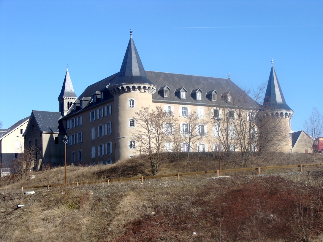
La Mure () is a commune in the Isère département in southeastern France. It is located south of Grenoble on the plateau Matheysin. Population Sights * The Chemin de fer de la Mure is a small touristic train using a railway initially built for the transportation of coal between Saint-Georges-de-Commiers and La Mure. The line was inaugurated on 24 July 1888. * The Arboretum de Combe Noire is a nearby arboretum created by teachers and staff Personalities *Saint Pierre-Julien Eymard, Roman Catholic priest founder of Congregation of the Blessed Sacrament and canonized in 1962, was born in la Mure on 4 February 1811. Neighbouring communes * Prunières * Sousville * Susville * Ponsonnas * Pierre-Châtel * Saint-Honoré International relations La Mure is twinned with Marktredwitz, Germany. See also *Communes of the Isère department The following is a list of the 512 Communes of France, communes in the French Departments of France, department of Isère. The comm ... [...More Info...] [...Related Items...] OR: [Wikipedia] [Google] [Baidu] |
Chemins De Fer De Paris à Lyon Et à La Méditerranée
The Compagnie des chemins de fer de Paris à Lyon et à la Méditerranée ("Railway Company of Paris to Lyon and the Mediterranean"), also known as the Chemins de fer Paris-Lyon-Méditerranée or simply PLM, established in 1857, was one of France’s main railway companies until the nationalization of all French railways and establishment of the Société nationale des chemins de fer français (SNCF) on . History Established on 3 July 1857, the PLM grew between 1858 and 1862 from the amalgamation of the earlier Paris–Lyon and Lyon–Méditerranée companies, as well as subsequently incorporating a number of smaller railways. The PLM operated chiefly in the Southeast of France, with a main line which connected Paris to the French Riviera by way of Dijon, Lyon and Marseille. The company was also the operator of railways in Algeria. The PLM was absorbed in 1938 into the majority state-owned Société nationale des chemins de fer français, and its network became the southea ... [...More Info...] [...Related Items...] OR: [Wikipedia] [Google] [Baidu] |


%2C_Guamán_Poma%2C_1616.jpg)


