|
Harker Glacier
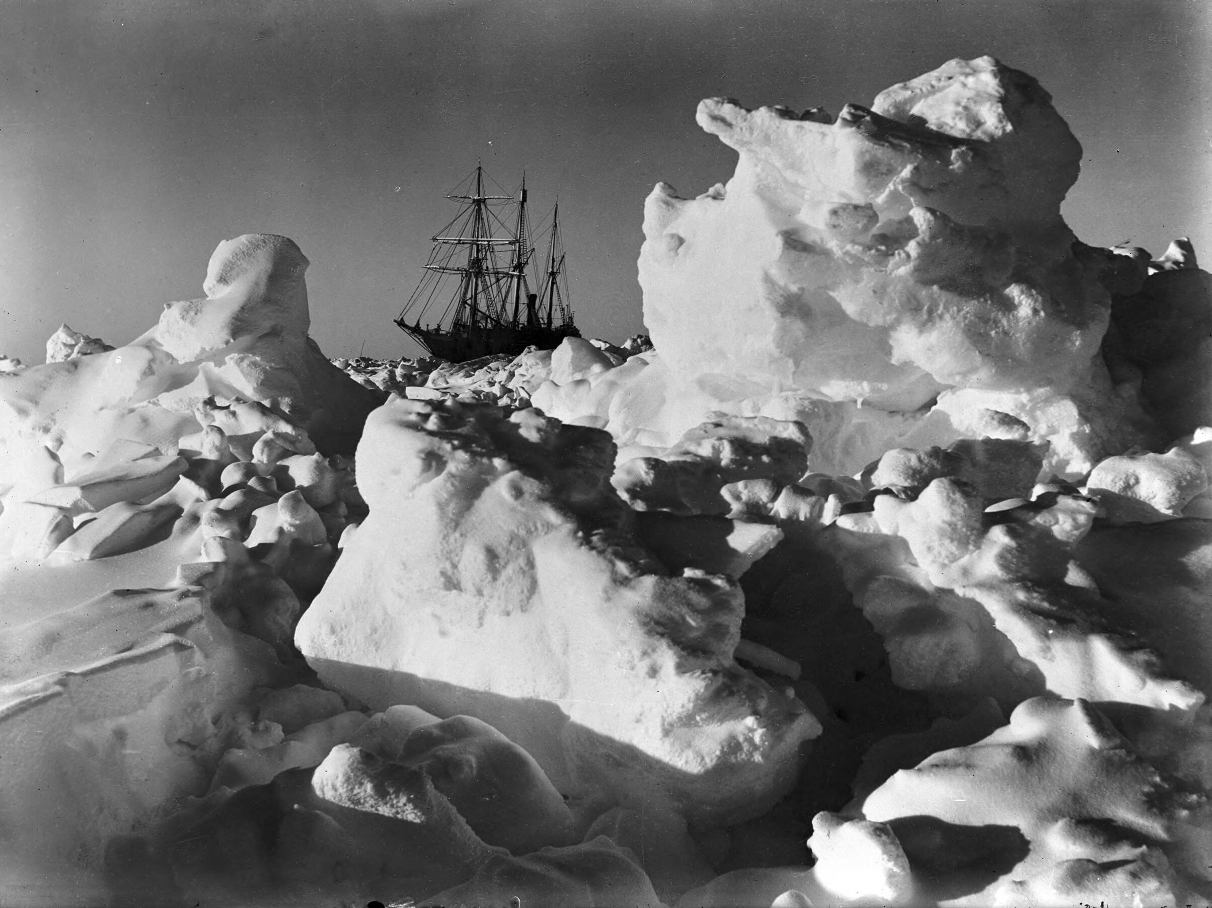
Harker Glacier is a tidewater glacier on South Georgia Island in the southern Atlantic Ocean. Harker glacier was first mapped by the Swedish Antarctic Expedition (1901-1904), and named De Geer Glacier, after Gerard De Geer (1858-1943), a Swedish geologist who specialized in geomorphology and geochronology. It was remapped in 1912 by David Ferguson, and renamed for Alfred Harker (1859-1939), an English geologist who specialised in petrology and petrography. The valley in which Harker Glacier is located drains from south to north out of the Allardyce Range into Moraine Fjord in the eastern side of Cumberland Bay, south of Grytviken, the principal settlement of the island. Harker Glacier is a tidewater glacier that contributes icebergs to the bay. The glacier has not changed significantly since the 1970s, but is further advanced than when it was photographed by Frank Hurley in 1914. [...More Info...] [...Related Items...] OR: [Wikipedia] [Google] [Baidu] |
Thatcher Peninsula
Thatcher Peninsula () is a mountainous peninsula in north-central South Georgia. Its total area is approximately , with roughly covered in vegetation. It terminates to the north in Mai Point, rising between Cumberland West Bay to the west, and Cumberland East Bay and Moraine Fjord to the east. It is bounded to the southwest and south by Lyell Glacier and Hamberg Glacier. King Edward Cove on the east side of the peninsula is the site of the British Antarctic Survey (BAS) Grytviken station and the disused whaling station of the same name. Thatcher Peninsula was named by the United Kingdom Antarctic Place-Names Committee (UK-APC) in 1991, at the suggestion of members of the Royal Geographical Society, after Margaret Thatcher, British prime minister, 1979–90. She was described by Sir Vivian Fuchs, chair of the Foreign Office's Antarctic Place Names Committee, as 'a major figure in the history of South Georgia', for her role in the Falklands War. Thatcher was, according to friend ... [...More Info...] [...Related Items...] OR: [Wikipedia] [Google] [Baidu] |
Geomorphology
Geomorphology (from Ancient Greek: , ', "earth"; , ', "form"; and , ', "study") is the scientific study of the origin and evolution of topographic and bathymetric features created by physical, chemical or biological processes operating at or near Earth's surface. Geomorphologists seek to understand why landscapes look the way they do, to understand landform and terrain history and dynamics and to predict changes through a combination of field observations, physical experiments and numerical modeling. Geomorphologists work within disciplines such as physical geography, geology, geodesy, engineering geology, archaeology, climatology, and geotechnical engineering. This broad base of interests contributes to many research styles and interests within the field. Overview Earth's surface is modified by a combination of surface processes that shape landscapes, and geologic processes that cause tectonic uplift and subsidence, and shape the coastal geography. Surface processes co ... [...More Info...] [...Related Items...] OR: [Wikipedia] [Google] [Baidu] |
Glaciology
Glaciology (; ) is the scientific study of glaciers, or more generally ice and natural phenomena that involve ice. Glaciology is an interdisciplinary Earth science that integrates geophysics, geology, physical geography, geomorphology, climatology, meteorology, hydrology, biology, and ecology. The impact of glaciers on people includes the fields of human geography and anthropology. The discoveries of water ice on the Moon, Mars, Europa and Pluto add an extraterrestrial component to the field, which is referred to as "astroglaciology". Overview A glacier is an extended mass of ice formed from snow falling and accumulating over a long period of time; glaciers move very slowly, either descending from high mountains, as in valley glaciers, or moving outward from centers of accumulation, as in continental glaciers. Areas of study within glaciology include glacial history and the reconstruction of past glaciation. A glaciologist is a person who studies glaciers. A glacial geologist ... [...More Info...] [...Related Items...] OR: [Wikipedia] [Google] [Baidu] |
List Of Glaciers In The Antarctic
There are many glaciers in the Antarctic. This set of lists does not include ice sheets, ice caps or ice fields, such as the Antarctic ice sheet, but includes glacial features that are defined by their flow, rather than general bodies of ice. The lists include outlet glaciers, valley glaciers, cirque glaciers, tidewater glaciers and ice streams. Ice streams are a type of glacier and many of them have "glacier" in their name, e.g. Pine Island Glacier. Ice shelves are listed separately in the List of Antarctic ice shelves. For the purposes of these lists, the Antarctic is defined as any latitude further south than 60° (the continental limit according to the Antarctic Treaty System). List by letters * List of glaciers in the Antarctic: A–H * List of glaciers in the Antarctic: I–Z See also * List of Antarctic and subantarctic islands * List of Antarctic ice rises * List of Antarctic ice shelves * List of Antarctic ice streams * List of glaciers * List of subantar ... [...More Info...] [...Related Items...] OR: [Wikipedia] [Google] [Baidu] |
Frank Hurley
James Francis "Frank" Hurley (15 October 1885 – 16 January 1962) was an Australian photographer and adventurer. He participated in a number of expeditions to Antarctica and served as an official photographer with Australian forces during both world wars. His artistic style produced many memorable images. He also used staged scenes, composites and photographic manipulation. Early life Frank Hurley was the third of five children to parents Edward and Margaret Hurley and was raised in Glebe, a suburb of Sydney, Australia.McGregor (2004) p 8 He ran away from home at the age of 13 to work on the Lithgow steel mill, returning home two years later to study at the local technical school and attend science lectures at the University of Sydney. When he was 17 he bought his first camera, a 15-shilling Kodak Box Brownie which he paid for at the rate of a shilling per week. He taught himself photography and set himself up in the postcard business, where he gained a reputation ... [...More Info...] [...Related Items...] OR: [Wikipedia] [Google] [Baidu] |
Iceberg
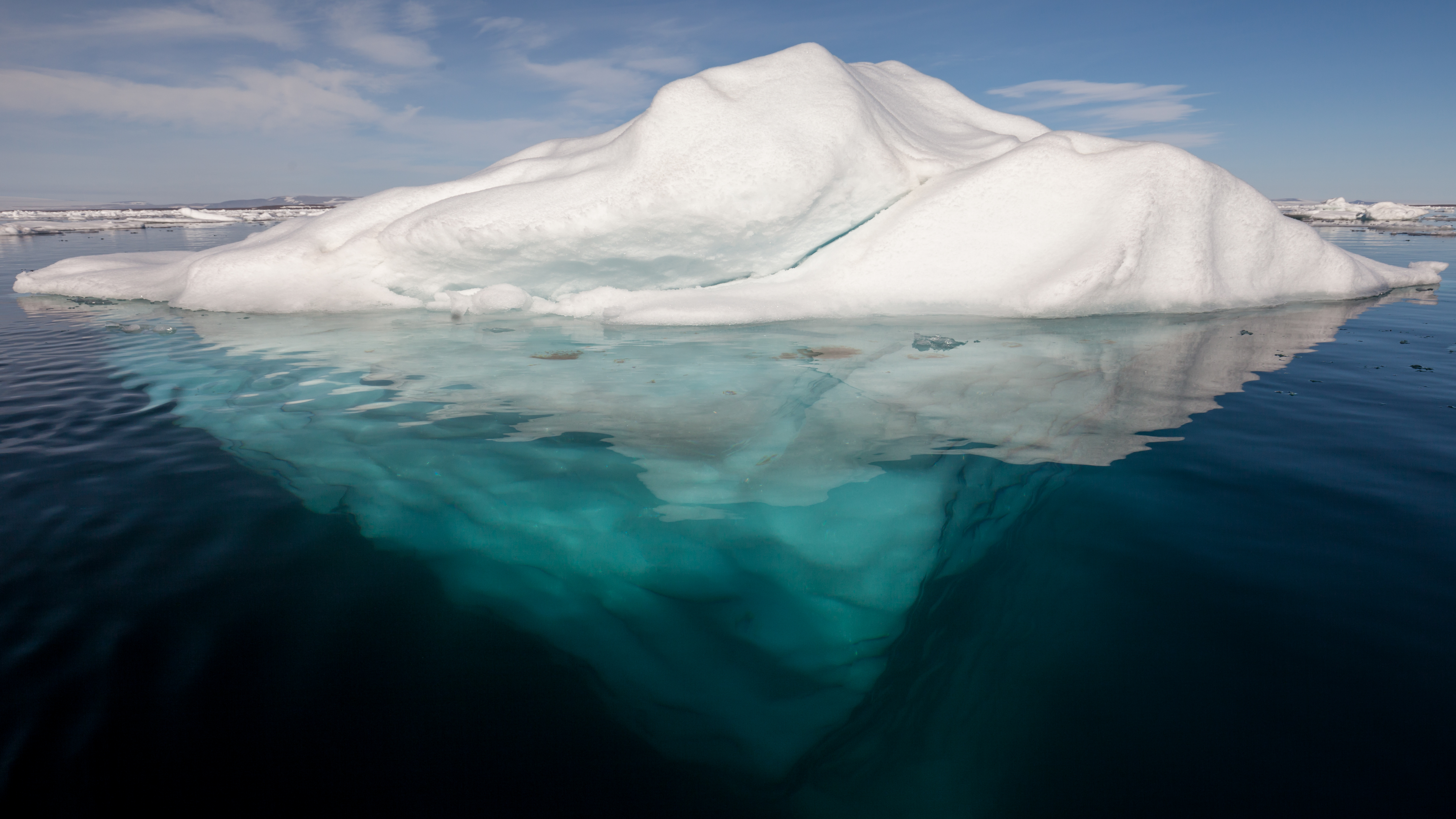
An iceberg is a piece of freshwater ice more than 15 m long that has broken off a glacier or an ice shelf and is floating freely in open (salt) water. Smaller chunks of floating glacially-derived ice are called "growlers" or "bergy bits". The sinking of the ''Titanic'' in 1912 led to the formation of the International Ice Patrol in 1914. Much of an iceberg is below the surface, which led to the expression "tip of the iceberg" to illustrate a small part of a larger unseen issue. Icebergs are considered a serious maritime hazard. Icebergs vary considerably in size and shape. Icebergs that calve from glaciers in Greenland are often irregularly shaped while Antarctic ice shelves often produce large tabular (table top) icebergs. The largest iceberg in recent history (2000), named B-15, measured nearly 300 km × 40 km. The largest iceberg on record was an Antarctic tabular iceberg of over [] sighted west of Scott Island, in the South Pacific Ocean, by the USS Glacier ... [...More Info...] [...Related Items...] OR: [Wikipedia] [Google] [Baidu] |
Moraine Fjord
Moraine Fjord is an inlet long with a reef (a terminal moraine) extending across its entrance, forming the west head of Cumberland East Bay, South Georgia. It was charted by the Swedish Antarctic Expedition under Otto Nordenskjöld, 1901–04, who so named it because of the large glacial moraine at its entrance. Discovery Point, formed by glacial moraine, marks the west side of the fjord's entrance. Also surveyed by SAE, it was probably named by Discovery Investigations personnel in the period following their surveys of 1926–31, presumably for their organization or their ships, the ''Discovery'' or ''Discovery II'', which were utilized in the surveys of South Georgia. Carcelles Peak is a peak rising above immediately south of the head of Moraine Fjord. It was surveyed by the South Georgia Survey (SGS) in the period 1951–57, and named by the UK Antarctic Place-Names Committee The UK Antarctic Place-Names Committee (or UK-APC) is a United Kingdom government committee, part of ... [...More Info...] [...Related Items...] OR: [Wikipedia] [Google] [Baidu] |
Petrography
Petrography is a branch of petrology that focuses on detailed descriptions of rocks. Someone who studies petrography is called a petrographer. The mineral content and the textural relationships within the rock are described in detail. The classification of rocks is based on the information acquired during the petrographic analysis. Petrographic descriptions start with the field notes at the outcrop and include macroscopic description of hand specimens. The most important petrographer's tool is the petrographic microscope. The detailed analysis of minerals by optical mineralogy in thin section and the micro-texture and structure are critical to understanding the origin of the rock. Electron microprobe or atom probe tomography analysis of individual grains as well as whole rock chemical analysis by atomic absorption, X-ray fluorescence, and laser-induced breakdown spectroscopy are used in a modern petrographic lab. Individual mineral grains from a rock sample may also be analyze ... [...More Info...] [...Related Items...] OR: [Wikipedia] [Google] [Baidu] |
Petrology
Petrology () is the branch of geology that studies rocks and the conditions under which they form. Petrology has three subdivisions: igneous, metamorphic, and sedimentary petrology. Igneous and metamorphic petrology are commonly taught together because they both contain heavy use of chemistry, chemical methods, and phase diagrams. Sedimentary petrology is, on the other hand, commonly taught together with stratigraphy because it deals with the processes that form sedimentary rock. Background Lithology was once approximately synonymous with petrography, but in current usage, lithology focuses on macroscopic hand-sample or outcrop-scale description of rocks while petrography is the speciality that deals with microscopic details. In the petroleum industry, lithology, or more specifically mud logging, is the graphic representation of geological formations being drilled through and drawn on a log called a mud log. As the cuttings are circulated out of the borehole, they are sample ... [...More Info...] [...Related Items...] OR: [Wikipedia] [Google] [Baidu] |
England
England is a country that is part of the United Kingdom. It shares land borders with Wales to its west and Scotland to its north. The Irish Sea lies northwest and the Celtic Sea to the southwest. It is separated from continental Europe by the North Sea to the east and the English Channel to the south. The country covers five-eighths of the island of Great Britain, which lies in the North Atlantic, and includes over 100 smaller islands, such as the Isles of Scilly and the Isle of Wight. The area now called England was first inhabited by modern humans during the Upper Paleolithic period, but takes its name from the Angles, a Germanic tribe deriving its name from the Anglia peninsula, who settled during the 5th and 6th centuries. England became a unified state in the 10th century and has had a significant cultural and legal impact on the wider world since the Age of Discovery, which began during the 15th century. The English language, the Anglican Church, and Engli ... [...More Info...] [...Related Items...] OR: [Wikipedia] [Google] [Baidu] |
Alfred Harker (petrologist)
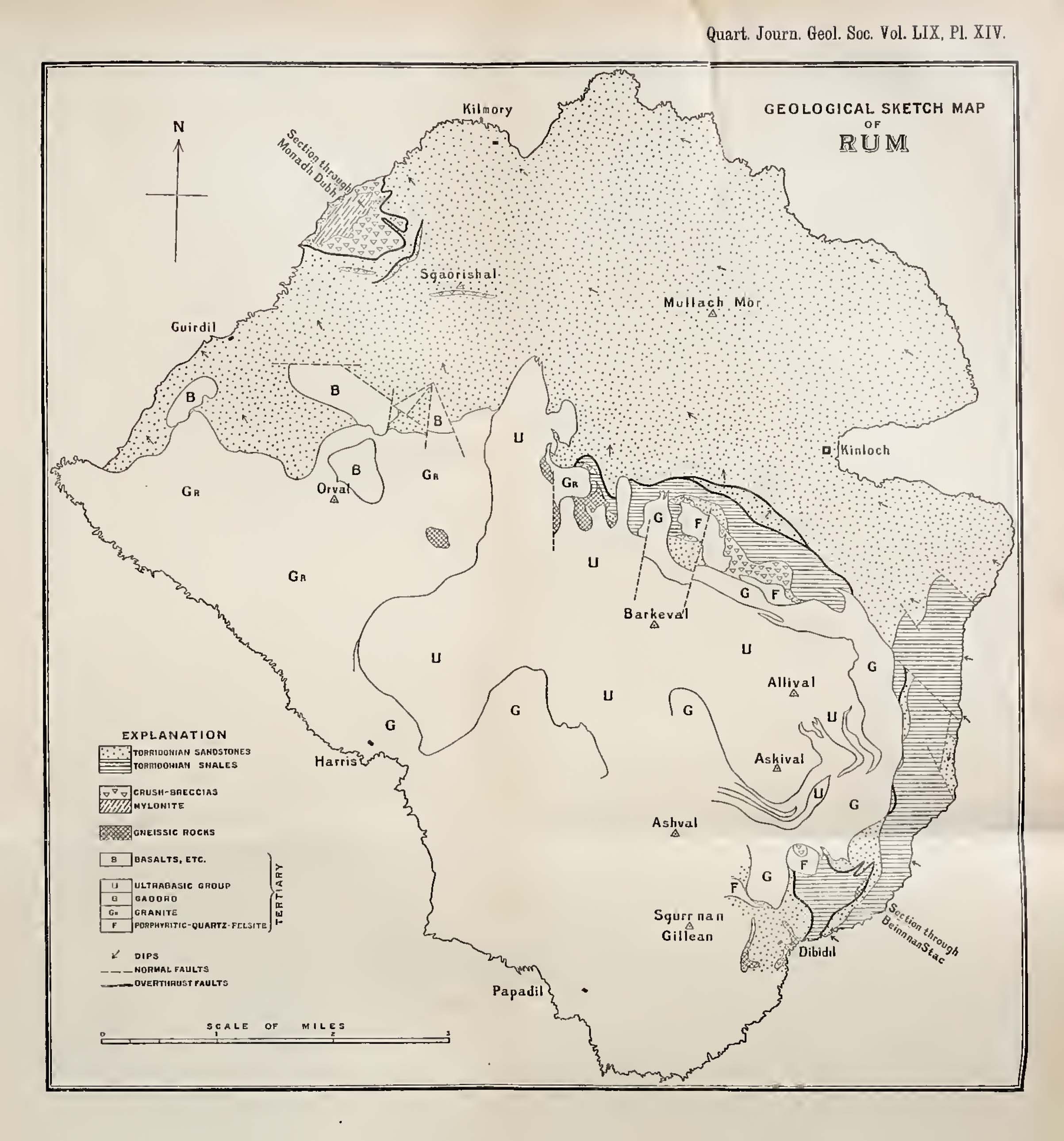
Alfred Harker FRS (19 February 1859 – 28 July 1939) was an English geologist who specialised in petrology and interpretive petrography. He was Lecturer in Petrology at the University of Cambridge for many years, and carried out field mapping for the Geological Survey of Scotland and geological studies of western Scotland and the Isle of Skye. He and other British geologists pioneered the use of thin sections and the petrographic microscope in interpretive petrology. Education and career Harker's father was the Yorkshire corn merchant Portas Hewart Harker, his mother Ellen Mary Harker. He attended Hull and East Riding College, and the private Clewer House School (Windsor) before enrolling as an undergraduate at St. John's College (Cambridge) from where he graduated with an M.A. on 18 January 1882. Whilst at Cambridge he was an early member of the Sedgwick Club. In 1884 he held the post of Demonstrator in the Geology Department under Thomas McKenny Hughes (whom he regar ... [...More Info...] [...Related Items...] OR: [Wikipedia] [Google] [Baidu] |
David Ferguson (geologist)
David Ferguson (c. 1857 – 1936) was a Scottish explorer, mining engineer and prospector. An alumnus of the University of Glasgow, he is most known for explorations in Antarctica on private geological survey expeditions for the Scottish company, Christian Salvesen between 1911 and 1915. His notebooks indicate voyages to South Georgia Island and the South Shetland Islands between 1912 and 1915; the Falkland Islands, Zambesi and Bulawayo between 1901 and 1903; Iran Iran, officially the Islamic Republic of Iran, and also called Persia, is a country located in Western Asia. It is bordered by Iraq and Turkey to the west, by Azerbaijan and Armenia to the northwest, by the Caspian Sea and Turkmeni ... (1891); Newfoundland (1894); and mining surveys in Scotland. He is credited with naming several geographic locations in the south Atlantic region and Antarctica, and Ferguson Peak on South Georgia was named in his honour. References University of Glasgow Archive Ser ... [...More Info...] [...Related Items...] OR: [Wikipedia] [Google] [Baidu] |


