|
Hanabanilla
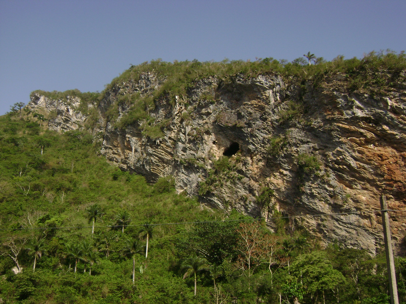
El Salto del Hanabanilla, also known as Hanabanilla, is a Cuban village and ''consejo popular'' ("people's council", i.e. hamlet) of the municipality of Manicaragua, Villa Clara Province.El Salto del Hanabanilla on EcuRed As of 2014 the town has 137 homes making up a total of 436 inhabitants. Is a mountain resort famous for the homonym lake. History El Salto del Hanabanilla was originally settled by Taino people; so far 35 aboriginal villages have been discovered around this area. After the |
Hanabanilla Lake
El Salto del Hanabanilla, also known as Hanabanilla, is a Cuban village and ''consejo popular'' ("people's council", i.e. hamlet) of the municipality of Manicaragua, Villa Clara Province.El Salto del Hanabanilla on EcuRed As of 2014 the town has 137 homes making up a total of 436 inhabitants. Is a mountain resort famous for the Hanabanilla Lake, homonym lake. History El Salto del Hanabanilla was originally settled by Taino people; so far 35 aboriginal villages have been discovered around this area. After the Spain, Spanish colonization it remained virtually untouched until the early 19th century, when it was finally settled in 1802 by Galician families trying to foment the production of tobacco and coffee and create cattle farms. The idea to create a man-made reservoir is al ...[...More Info...] [...Related Items...] OR: [Wikipedia] [Google] [Baidu] |
Hanabanilla Dam
The Hanabanilla Dam is an embankment dam on the Hanabanilla River near the village of El Salto del Hanabanilla in Villa Clara Province, Cuba. The purpose of the dam is to provide water for irrigation and municipal uses and to generate hydroelectric power. Overview The dam withholds a reservoir of and the power station, located near its base, has an installed capacity of 43 MW. It is the largest hydroelectric power station in the country. Near the southern end of the reservoir is Jibacoa Dam, an auxiliary dam, which closes off one valley to create the existing large reservoir. The dam was constructed between 1958 and 1961. The power station was commissioned in 1963. In March 2014 a rehabilitation of the power station began. See also *Escambray Mountains *Manicaragua Manicaragua () is a municipality and mountain town in the Villa Clara Province of Cuba. It is located in the Escambray Mountains at the southern part of Villa Clara, bordering the provinces of Cienfuegos to the ... [...More Info...] [...Related Items...] OR: [Wikipedia] [Google] [Baidu] |
Escambray Mountains
The Escambray Mountains () are a mountain range in the central region of Cuba, in the provinces of Sancti Spíritus, Cienfuegos and Villa Clara. Overview The Escambray Mountains are located in the south-central region of the island, extending about from east to west, and from north to south. Their highest peak, Pico San Juan, rises to above sea level. The Escambray range is divided into two sections by the Agabama River. The western part is called the Guamuhaya Mountains, and the eastern part, raising between Trinidad and Sancti Spiritus, is best known as Sierra de Sancti Spíritus. After Pico San Juan, the highest points are Caballete de Casas, Gavilanes, Loma de Banao, Caja de Agua, and Pico Tuerto. Topes de Collantes is a nature reserve park established in the south-eastern ranges of Escambray Mountains, protecting and showcasing caves, rivers, waterfalls, and canyons. The Valley de los Ingenios is developed at the south-eastern foot of the mountains, and is a ... [...More Info...] [...Related Items...] OR: [Wikipedia] [Google] [Baidu] |
Jibacoa (Manicaragua)
Jibacoa is a Cuban village and ''consejo popular'' ("people's council", i.e. hamlet) of the municipality of Manicaragua, in Villa Clara Province. As of 2004, it had a population of 3,101; and the council's administrative territory covers an area of 78.5 km².Jibacoa on EcuRed History The village was founded in 1961, soon after the . Its toponyms, as well as other included in the municipality (as Manicaragua, , etc.) have an |
Villa Clara Province
Villa Clara is one of the provinces of Cuba. It is located in the central region of the island bordering with the Atlantic at north, Matanzas Province by west, Sancti Spiritus Province by east, and Cienfuegos Province on the South. Villa Clara shares with Cienfuegos and Sancti Spiritus on the south the Escambray Mountain Range. Its main cities are Santa Clara (the capital), Remedios, Sagua La Grande, Camajuani, Caibarién, Ranchuelo, Placetas, and Manicaragua. History Prior to 1976, the current provinces of Cienfuegos, Sancti Spíritus, and Villa Clara were all part of the now obsolete province of Las Villas, but Villa Clara is still referred some times just as "Las Villas" using the shorter old name. Santa Clara was the capital of historical Las Villas and still capital of Villa Clara province. That old name itself, Spanish for "The Cities", refers to the four original 16th and 17th-century cities founded in this vast territory: San Juan de los Remedios, Sancti Spíri ... [...More Info...] [...Related Items...] OR: [Wikipedia] [Google] [Baidu] |
Manicaragua
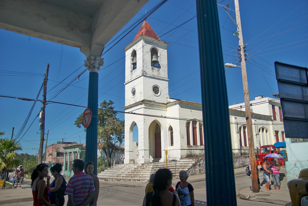
Manicaragua () is a municipality and mountain town in the Villa Clara Province of Cuba. It is located in the Escambray Mountains at the southern part of Villa Clara, bordering the provinces of Cienfuegos to the west and Sancti Spíritus to the east. History The area was originally settled by the Siboney, a Taíno people native of Cuba. Some toponyms of settlements included in the municipality (as Manicaragua, Mataguá, Jibacoa etc.) have an Arawak origin. ( EcuRed) Geography The municipality includes the town proper (with circa 23,000 inhabitants in 2003) and several villages as Arroyo Seco, El Mango, |
Mataguá
Mataguá is a Cuban village and ''consejo popular'' ("people's council", i.e. hamlet) of the municipality of Manicaragua, in Villa Clara Province. With a population of ca. 10,000, it is the most populated village in the municipality after Manicaragua. History Founded in 1868 as a farm estate owned by a Spanish man named Jacinto Rivero, it was sold some years later to Susano Rodríguez, that changed the aboriginal name of Mataguá to ''Palma Sola''. The property was transferred in 1904 to the brothers Pablo and Belisario Millar Vila. The new owners changed the name of the estate, which returned to be the aboriginal one. The village was connected to the mains in 1927, and had a train station on a no longer active line. During the Cuban Revolution, Mataguá was taken by the revolutionaries on 22 December 1958, one week before the Battle of Santa Clara, by a group led by the commander Raúl Nieves. Geography Located 11 km in north of Manicaragua and 27 in south of the city of San ... [...More Info...] [...Related Items...] OR: [Wikipedia] [Google] [Baidu] |
Güinía De Miranda
Güinía de Miranda, sometimes shortened as ''Güinía'', is a Cuban village and ''consejo popular'' ("people's council", i.e. hamlet) of the municipality of Manicaragua, in Villa Clara Province. It has a population of circa 3,000 and the council's administrative territory covers an area of 114.2 km². History Founded in 1536, at the end of the 16th century it was an estate depending from Sancti Spíritus. In 1862 Güinía was made up of 50 buildings and had a population of 300.Güinía de Miranda on EcuRed Until 1976, it was part of the municipality of . Geography Güinía de Miranda is a hilltow ...[...More Info...] [...Related Items...] OR: [Wikipedia] [Google] [Baidu] |
Cumanayagua
Cumanayagua () is a municipality and town in the Cienfuegos Province of Cuba. It is located in a valley near the Guamuhaya Mountains (usually these mountains are referred as Escambray Mountains, east of Cienfuegos, the provincial capital. History Cumanayagua was inhabited by Cuban Taíno indigenous people when the Spanish arrived to the island.Cumanayagua on EcuRed Though the meaning of the name is uncertain, is known it comes from Taino origin. Some scholars believe it means ''"The place filled with flowers of Royal Palms"'' other believe it could mean ''"The place of Cuma and Anayagua"'', Cuma was the aboriginal chief ruler of the region, and Anayagua his daug ... [...More Info...] [...Related Items...] OR: [Wikipedia] [Google] [Baidu] |
Santa Clara, Cuba
Santa Clara is the capital city of the Cuban province of Villa Clara Province, Villa Clara. It is centrally located in the province and Cuba. Santa Clara is the List of cities in Cuba, fifth-most populous Cuban city, with a population of nearly 250,000. History Santa Clara was founded by 175 people on July 15, 1689. 138 of them represented two large families already living in the area, who owned land next to the new city. The other 37 came from seven other families and included a priest and governor, all originating in the coastal city of San Juan de los Remedios. The population of Remedios, Cuba, Remedios had to choose between leaving their city, constantly being besieged by pirates, or staying. While most decided to stay, 37 people traveled south to the interior. On June 1, 1689, they arrived at a hill, joining two other families already present at the site. According to tradition, a mass was celebrated under a tamarind tree and Santa Clara was founded. Since then, the pla ... [...More Info...] [...Related Items...] OR: [Wikipedia] [Google] [Baidu] |
Trinidad, Cuba
Trinidad () is a town in the province of Sancti Spíritus, central Cuba. Together with the nearby Valle de los Ingenios, it has been a UNESCO World Heritage site since 1988, because of its historical importance as a center of the sugar trade in the 18th and 19th centuries. Trinidad is one of the best-preserved cities in the Caribbean from the time when the sugar trade was the main industry in the region. History Trinidad was founded on December 23, 1514 by Diego Velázquez de Cuéllar under the name Villa de la Santísima Trinidad. Hernán Cortés recruited men for his expedition from Juan de Grijalva's home in Trinidad, and Sancti Spíritus, at the start of his 1518 expedition. This included Pedro de Alvarado and his five brothers. After ten days, Cortes sailed, the alcayde Francisco Verdugo failing to prevent Cortes from leaving, despite orders from Diego Velázquez.Diaz, B., 1963, The Conquest of New Spain, London: Penguin Books, The Narvaez Expedition landed at Trinida ... [...More Info...] [...Related Items...] OR: [Wikipedia] [Google] [Baidu] |
Cuba
Cuba ( , ), officially the Republic of Cuba ( es, República de Cuba, links=no ), is an island country comprising the island of Cuba, as well as Isla de la Juventud and several minor archipelagos. Cuba is located where the northern Caribbean Sea, Gulf of Mexico, and Atlantic Ocean meet. Cuba is located east of the Yucatán Peninsula (Mexico), south of both the American state of Florida and the Bahamas, west of Hispaniola ( Haiti/Dominican Republic), and north of both Jamaica and the Cayman Islands. Havana is the largest city and capital; other major cities include Santiago de Cuba and Camagüey. The official area of the Republic of Cuba is (without the territorial waters) but a total of 350,730 km² (135,418 sq mi) including the exclusive economic zone. Cuba is the second-most populous country in the Caribbean after Haiti, with over 11 million inhabitants. The territory that is now Cuba was inhabited by the Ciboney people from the 4th millennium BC with the Gua ... [...More Info...] [...Related Items...] OR: [Wikipedia] [Google] [Baidu] |


