|
Haberfield, New South Wales
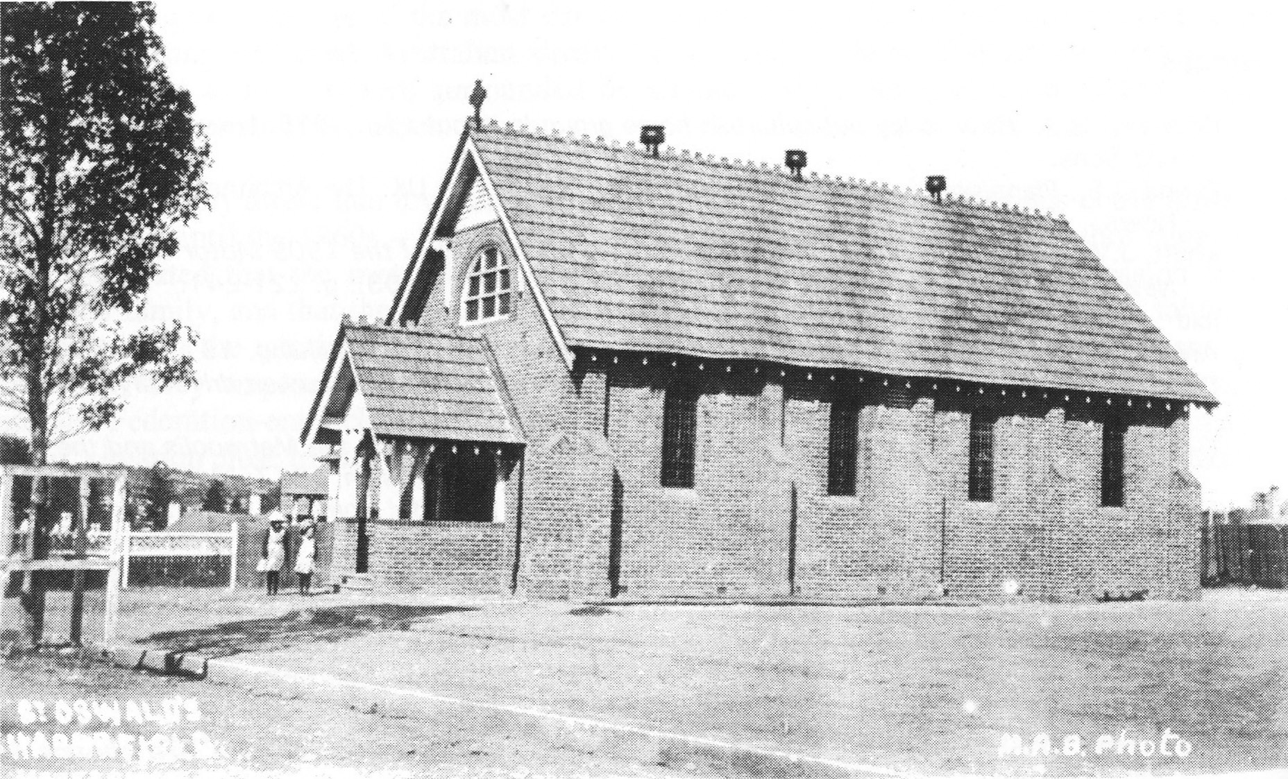
Haberfield is a suburb in the Inner West of Sydney, in the state of New South Wales, Australia. Haberfield is located 6.5 kilometres west of the Sydney central business district in the local government area of the Inner West Council. Haberfield sits south of Iron Cove, which is part of Sydney Harbour. It is bounded to the east by the Hawthorne Canal, to the northwest by the Iron Cove Creek canal and to the southwest by Parramatta Road. Its main road is Ramsay Street and the point of land that faces Iron Cove, Dobroyd Point, is a historical locality of Sydney. Haberfield was dubbed "the garden suburb" in the early 20th century and retains its well-kept parks, tree-lined streets and fine Federation-era houses with immaculate gardens. The entire suburb is heritage-listed. It is also known for its Italian culture. History Haberfield was named by early landholder Richard Stanton, after the financial benefactor of his wife's family; Lord Haberfield. Stanton's wife's maiden name ... [...More Info...] [...Related Items...] OR: [Wikipedia] [Google] [Baidu] |
Electoral District Of Summer Hill
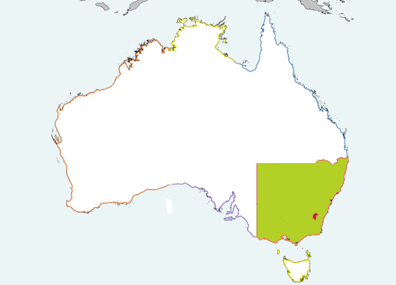
Summer Hill is an electoral district of the Legislative Assembly in New South Wales. It is represented by Jo Haylen of the Labor Party. History Summer Hill is one of two new electorates (the other being Newtown) created in place of the abolished Marrickville for the 2015 state election. It takes its territory from areas previously belonging to the districts of Balmain, Canterbury, Marrickville and Strathfield. Geography Summer Hill is an urban electorate in Sydney's inner west centred on the suburb of Summer Hill from which it takes its name. On its current boundaries, it also includes the suburbs of Ashbury, Ashfield, Dulwich Hill, Haberfield, Lewisham and Marrickville Marrickville is a suburb in the Inner West of Sydney, in the state of New South Wales, Australia. Marrickville is located south-west of the Sydney central business district and is the largest suburb in the Inner West Council local government .... Members for Summer Hill Election results Re ... [...More Info...] [...Related Items...] OR: [Wikipedia] [Google] [Baidu] |
Inner West Council
Inner West Council is a local government area located in the Inner West region of Sydney in the state of New South Wales, Australia. The Inner West LGA makes up the eastern part of this wider region, and was formed on 12 May 2016 from the merger of the former Ashfield, Leichhardt and Marrickville councils. The Inner West LGA covers an area of and as at the had an estimated population of . The Mayor of Inner West Council is Darcy Byrne, re-elected by the councillors on 8 October 2024. The most recent NSW local government election, on 14 September 2024, resulted in a Labor majority of 8 Councillors, for the second consecutive term. History In the early 2010s, the New South Wales Government explored merging various local government areas to create larger councils within Sydney. In 2013, the Independent Local Government Review Panel (ILGRP) initially proposed a merger of the six inner west councils - Burwood, Strathfield, Canada Bay, Ashfield, Leichhardt and Marrickville, in ... [...More Info...] [...Related Items...] OR: [Wikipedia] [Google] [Baidu] |
Victorian Architecture
Victorian architecture is a series of Revivalism (architecture), architectural revival styles in the mid-to-late 19th century. ''Victorian'' refers to the reign of Queen Victoria (1837–1901), called the Victorian era, during which period the styles known as Victorian were used in construction. However, many elements of what is typically termed "Victorian" architecture did not become popular until later in Victoria's reign, roughly from 1850 and later. The styles often included interpretations and Eclecticism in architecture, eclectic Revivalism (architecture), revivals of historic styles ''(see Historicism (art), historicism)''. The name represents the British and French custom of naming architectural styles for a reigning monarch. Within this naming and classification scheme, it followed Georgian architecture and later Regency architecture and was succeeded by Edwardian architecture. Although Victoria did not reign over the United States, the term is often used for American sty ... [...More Info...] [...Related Items...] OR: [Wikipedia] [Google] [Baidu] |
Bubonic Plague
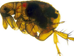
Bubonic plague is one of three types of Plague (disease), plague caused by the Bacteria, bacterium ''Yersinia pestis''. One to seven days after exposure to the bacteria, flu-like symptoms develop. These symptoms include fever, headaches, and vomiting, as well as Lymphadenopathy, swollen and painful lymph nodes occurring in the area closest to where the bacteria entered the skin. Acral necrosis, the dark discoloration of skin, is another symptom. Occasionally, swollen lymph nodes, known as "buboes", may break open. The three types of plague are the result of the route of infection: bubonic plague, septicemic plague, and pneumonic plague. Bubonic plague is mainly spread by infected fleas from small animals. It may also result from exposure to the body fluids from a dead plague-infected animal. Mammals such as rabbits, hares, and some cat species are susceptible to bubonic plague, and typically die upon contraction. In the bubonic form of plague, the bacteria enter through the ... [...More Info...] [...Related Items...] OR: [Wikipedia] [Google] [Baidu] |
Simeon Lord
Simeon Lord ( – 29 January 1840) was a pioneer merchant and a magistrate in Australia. He became a prominent trader in Sydney, buying and selling ship cargoes. Despite being an emancipist Lord was made a magistrate by Governor Lachlan Macquarie, and he became a frequent guest at government house. His business dealings were extensive. He became one of Sydney's wealthiest men. He was at various times a retailer, auctioneer, sealer, pastoralist, timber merchant and manufacturer. He is mentioned in many Australian History books, in particular regarding his status as an emancipist. Background Lord, the fourth child of ten children of Simeon Lord and Ann Fielden of Dobroyd Castle, Dobroyd (near Todmorden), Yorkshire, England, was born about 28 January 1771. On 22 April 1790, as a 19-year-old, he was convicted to 7 years Penal transportation, transportation at the Manchester Quarter Sessions in Lancashire for the theft of 21 pieces of cloth, 100 yards (91 m) of calico and 100 yar ... [...More Info...] [...Related Items...] OR: [Wikipedia] [Google] [Baidu] |
Koori
Koori (also spelt koorie, goori or goorie) is a demonym for Aboriginal Australians from a region that approximately corresponds to southern New South Wales and Victoria. The word derives from the Indigenous language Awabakal. For some people and groups, it has been described as a reclaiming of Indigenous language and culture, as opposed to relying on European titles such as "Aboriginal". The term is also used with reference to institutions involving Koori communities and individuals, such as the Koori Court, Koori Radio and Koori Knockout. The Koori region is home to the largest proportion of Australia's Indigenous population (Aboriginal and Torres Strait Islander people), with 40.7% of Indigenous Australians living in either New South Wales or Victoria. Within the region however, Koori-identifying people make up only 2.9% and 0.8% of the overall populations of New South Wales and Victoria respectively. Most of this Koori population speak English in the home, although a s ... [...More Info...] [...Related Items...] OR: [Wikipedia] [Google] [Baidu] |
Cadigal
The Gadigal, also spelled as Cadigal and Caddiegal, are a group of Aboriginal people whose traditional lands are located in Gadi, on Eora country, the location of Sydney, New South Wales, Australia. However, since the colonisation of Australia, most Gadigal people have been displaced from their traditional lands. Pre-colonisation history The Gadigal people originally inhabited the area that they call "Gadi", which lies south of Port Jackson, covering today's Sydney central business district and stretching from South Head across to Marrickville/ with part of the southern boundary lying on the Cooks River; most notably Sydney Cove is located in Gadi, the site where the first Union Jack was raised, marking the beginning of colonisation. Cadi (or Gadi) in the local Dharug dialect meant below or under, indicating that the Cadi-gal belonged to the land below Port Jackson. Philip Gidley King gave Long Cove as the western boundary which lieutenant governor David Collins identif ... [...More Info...] [...Related Items...] OR: [Wikipedia] [Google] [Baidu] |
Wangal People
The Wangal people (; Wanngal or Won-gal) are a clan of the Dharug Aboriginal people whose heirs are custodians of the lands and waters of what is now the Inner West of Sydney, New South Wales, centred around the Municipality of Strathfield, Municipality of Burwood, City of Canada Bay and former Ashfield Council (now part of Inner West Council) and extending west into the City of Parramatta. History Archaeological evidence of human occupation alongside the Parramatta River has been dated back 20,000 years, and is likely to date back much further (people have been dated as being present elsewhere in Australia more than 60,000 years ago – see Australian Aboriginal Prehistoric Sites). Sydney's geomorphology 20,000 years ago was very different from what it is today. In the middle of the last ice age, the Sydney coast was approximately 15 km to the east and what is now Port Jackson (Sydney Harbour) was freshwater creeks and rivers. Wangal predecessors would have been livin ... [...More Info...] [...Related Items...] OR: [Wikipedia] [Google] [Baidu] |
Darug People
The Dharug or Darug people, are a nation of Aboriginal Australian clans, who share ties of kinship, country and culture. In pre-colonial times, they lived as hunters in the region of current day Sydney. The Darug speak one of two dialects of the Dharug language related to their coastal or inland groups. There was armed conflict between the Dharug and the English settlers in the first half of the 19th century. Controversy over land rights, deference to culture and official return of Dharug artifacts, such as the skull of the warrior Pemulwuy, were a main cause of such conflict. Dharug country Dharug country covers an area of approximately 6,000 km2 (2,300 square miles). In the north, it reaches the Hawkesbury River and its mouth at Broken Bay, creating a border with the Awabakal. To the northwest, the Dharug country extends to the town of Mount Victoria in the Blue Mountains meeting the Darkinjung. To the west, Wiradjuri country begins at the eastern fringe of the B ... [...More Info...] [...Related Items...] OR: [Wikipedia] [Google] [Baidu] |
Dobroyd Point, New South Wales
Dobroyd Point is an historical locality in the Inner WestHaberfield Rowing Clubsits on Iron Cove and Dobroyd Parade. ThDobroyd Aquatic Clubis located in the nearby suburb of Rodd Point. References Sydney localities Inner West Council {{Sydney-geo-stub ... [...More Info...] [...Related Items...] OR: [Wikipedia] [Google] [Baidu] |
Iron Cove Creek
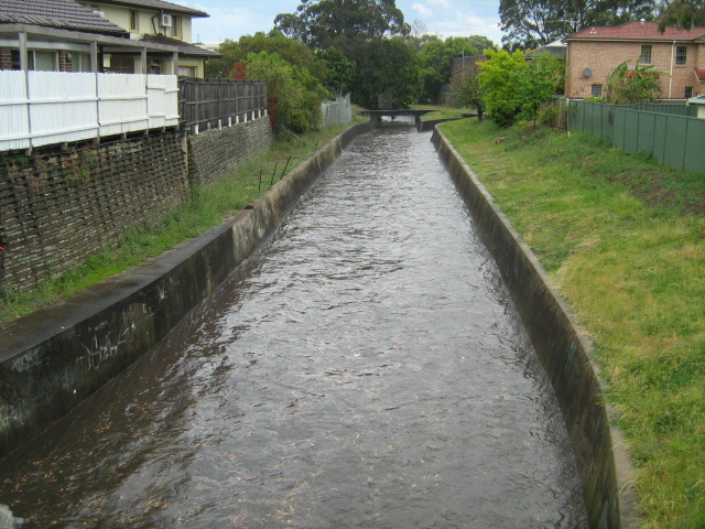
Iron Cove Creek (also known as Dobroyd Stormwater Channel), a southern tributary of the Parramatta River, is an urban stream west of Port Jackson, Sydney Harbour, located in the Inner West (Sydney), inner-western Sydney suburbs of Croydon, New South Wales, Croydon, Ashfield, New South Wales, Ashfield, Haberfield, New South Wales, Haberfield and Five Dock, New South Wales, Five Dock in New South Wales, Australia. Iron Cove Creek traverses mostly through residential areas and parkland, making a journey from where it surfaces in Croydon to where it empties into Iron Cove, which is a bay of the Parramatta River, at Five Dock. It also forms much of the border between Croydon and Ashfield upstream from Parramatta Road. Once a natural watercourse abound with native vegetation and wildlife, Iron Cove Creek was transformed in the late 19th century into a stormwater channel that drains a fairly large catchment area in Sydney's inner-western suburbs. History In the 1860s Iron Cove Creek ... [...More Info...] [...Related Items...] OR: [Wikipedia] [Google] [Baidu] |
