|
Haaglanden
:''Parts of this article have been translated from the Dutch version of this page'' Haaglanden (, literally ''Haguelands'') was a conurbation surrounding The Hague in the Netherlands from 1992 until 2015. The city's position as the country's seat of government made the region prominent in the Netherlands. Located on the west coast of the province of South Holland, the region had a population of 1,050,543 in September 2013, and covered an area of 405 km². ''Haaglanden'' was an official term referring to an urban region"Urban region" referring to the Dutch terms ''stadsgewest'', ''stadsregio'' and ''plusregio'', which were more or less used interchangeably. literally called ''Haaglanden Urban Region'' (''Stadsgewest Haaglanden''). The official website of Haaglanden used the English translation ''The Hague Region''. Another translation would have been the ''Greater Hague Area''. The term was also sometimes used to refer to the conurbation of The Hague in a general, informal sense; ... [...More Info...] [...Related Items...] OR: [Wikipedia] [Google] [Baidu] |
List Of Tallest Buildings In Haaglanden
This is a list of the tallest buildings of Haaglanden, the metropolitan area of The Hague. {, class="wikitable" ! align="center", ! align="center", Name ! align="center", Height ! align="center", Finished ! align="center", City ! align="center", Image , - , 1= , Ministry of Justice and Security , 147 m , 2011 , The Hague , , - , 1= , Ministry of the Interior and Kingdom Relations , 147 m , 2011 , The Hague , , - , 3= , Hoftoren , 142 m , 2003 , The Hague , , - , 3= , , 142 m(with mast 158 m) , 2012 , The Hague , , - , 4 , Het Strijkijzer , 132 m(with mast 136 m) , 2007 , The Hague , , - , 5 , De Kroon , 131 m , 2011 , The Hague , , - , 6 , Prinsenhof Toren D/E , 128 m , 2005 , The Hague , , - , 7 , Nieuwe Kerk , 109 m , 1510 , Delft , , - , 8 , Castalia , 104 m , 1998 , The Hague , , - , 9 , {{ill, New Babylon, The Hague, lt=New Babylon II, nl, New Babylon , 101 m , 2011 , The Hague , , - , 10 , Sint-Jacobuskerk , 94 m , 1878 , The Hague , , - , ... [...More Info...] [...Related Items...] OR: [Wikipedia] [Google] [Baidu] |
Zuidvleugel
Zuidvleugel (, literally "south wing") is the band of cities and towns located along the southern wing of the Randstad in the Netherlands. It is that part of the Randstad that is located in the Province of South Holland. This developing conurbation extends around 60 kilometres from Dordrecht to Leiden. The two main focal points are the area around Rotterdam (called Rijnmond) and the area around The Hague (called Haaglanden).Some of this article has been translated from the Dutch version of this page. Some of it was taken from the Randstad article. With a population of around 3.5 million people, the Zuidvleugel is one of the largest urban areas in Europe. The centre of the Zuidvleugel lies in the middle of Rotterdam and The Hague, near Delft. Zuidvleugel includes the following: *the Drechtsteden and some more of the Hoeksche Waard: Binnenmaas, Oud-Beijerland *the region of Zuid-Holland West *the Rijnmond area around Rotterdam *the Haaglanden area around The Hague *a small ... [...More Info...] [...Related Items...] OR: [Wikipedia] [Google] [Baidu] |
Safety Region
In the European Netherlands, a safety region () is a public body whose task is to facilitate regional cooperation in dealing with crises, disasters and disruptions of public order. Each municipal executive belongs to one of the twenty-five safety regions. Together they are responsible for drawing up joint regulations for crisis management and for administering the emergency services (fire brigade and ) in their respective region. List of safety regions See also * Municipal Health Service In the European Netherlands, a Municipal Health Service (, GGD) is a decentralised public health organisation. Legally, the responsibility for the provision of this service lies with the municipalities. However, in practice, the municipalities wo ... References Government of the Netherlands Emergency management in the Netherlands Subdivisions of the Netherlands {{Netherlands-stub ... [...More Info...] [...Related Items...] OR: [Wikipedia] [Google] [Baidu] |
The Hague
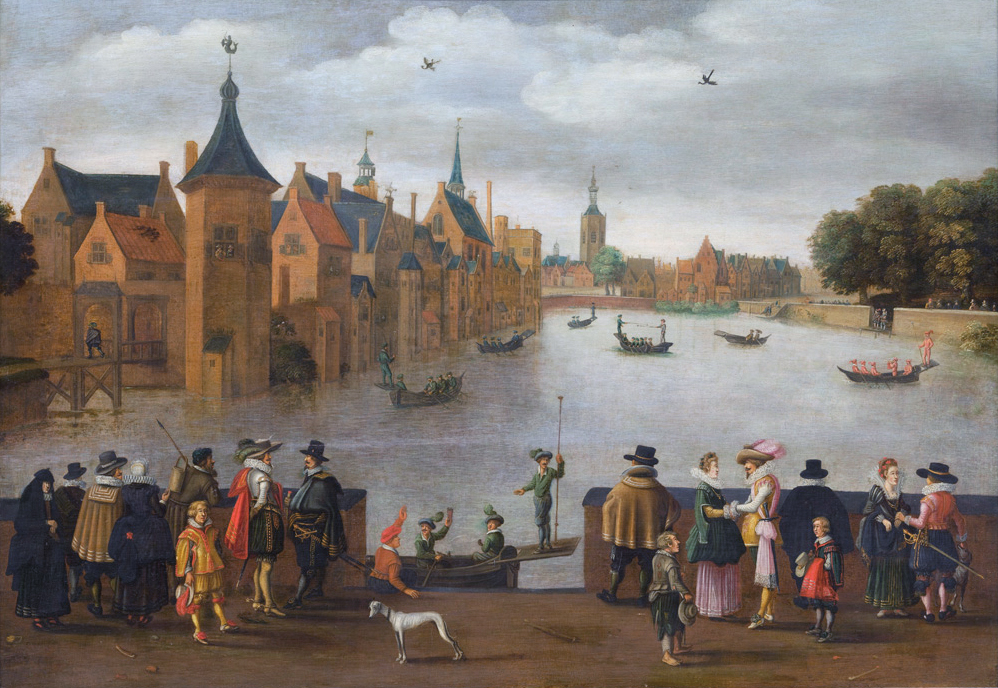
The Hague ( ; nl, Den Haag or ) is a city and municipality of the Netherlands, situated on the west coast facing the North Sea. The Hague is the country's administrative centre and its seat of government, and while the official capital of the Netherlands is Amsterdam, The Hague has been described as the country's de facto capital. The Hague is also the capital of the province of South Holland, and the city hosts both the International Court of Justice and the International Criminal Court. With a population of over half a million, it is the third-largest city in the Netherlands, after Amsterdam and Rotterdam. The Hague is the core municipality of the Greater The Hague urban area, which comprises the city itself and its suburban municipalities, containing over 800,000 people, making it the third-largest urban area in the Netherlands, again after the urban areas of Amsterdam and Rotterdam. The Rotterdam–The Hague metropolitan area, with a population of approximately 2.6&n ... [...More Info...] [...Related Items...] OR: [Wikipedia] [Google] [Baidu] |
Westland (municipality), Netherlands
Westland () is a municipality in the western Netherlands, in the province of South Holland. It covers an area of of which is covered by water and had a population of in . Towns and other settlements: De Lier, 's-Gravenzande, Monster, Naaldwijk, Wateringen, Heenweg, Honselersdijk, Kwintsheul, Maasdijk, Poeldijk, and Ter Heijde. History Westland was created on 1 January 2004 by a merger of the municipalities De Lier, 's-Gravenzande, Monster, Naaldwijk and Wateringen. These are also the names of five of the settlements. The others are Heenweg, Honselersdijk, Kwintsheul, Maasdijk, Poeldijk, and Ter Heijde. Westland itself is not the name of a settlement or town, but rather of the region. The City hall is located in the middle of Westland, in Naaldwijk, the second largest settlement in Westland. The town of Honselersdijk also possesses the largest Flower Auction, FloraHolland, which also has a location in Rijnsburg. This is a very important sector of the Westland economy. Flower ... [...More Info...] [...Related Items...] OR: [Wikipedia] [Google] [Baidu] |
Rotterdam
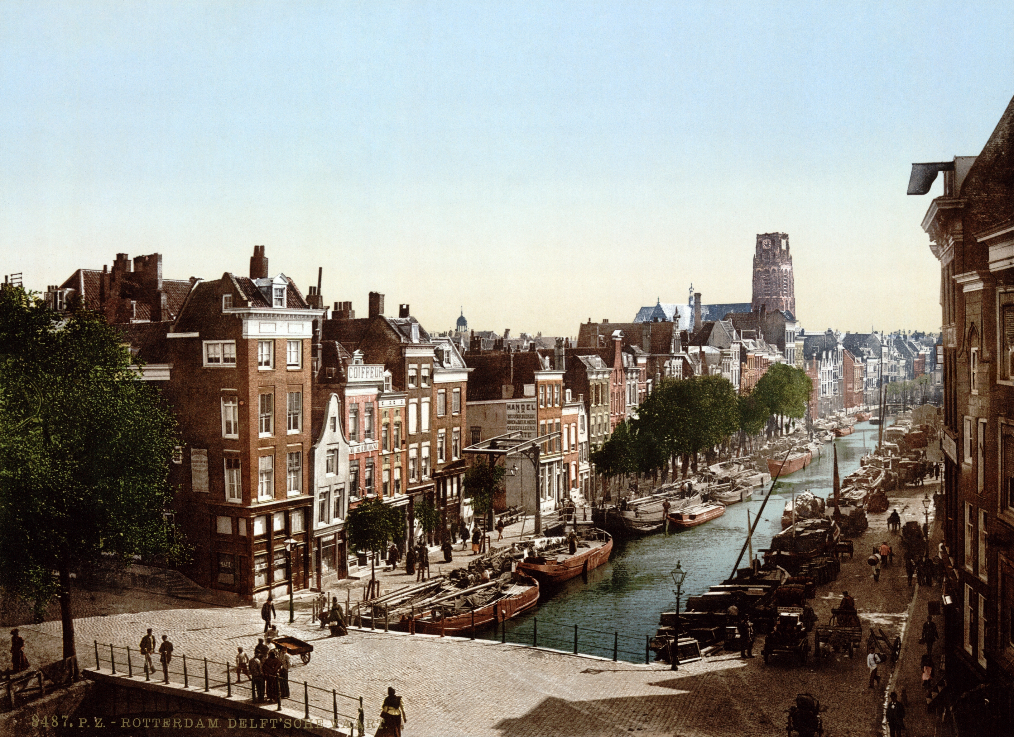
Rotterdam ( , , , lit. ''The Dam on the River Rotte'') is the second largest city and municipality in the Netherlands. It is in the province of South Holland, part of the North Sea mouth of the Rhine–Meuse–Scheldt delta, via the ''"New Meuse"'' inland shipping channel, dug to connect to the Meuse first, but now to the Rhine instead. Rotterdam's history goes back to 1270, when a dam was constructed in the Rotte. In 1340, Rotterdam was granted city rights by William IV, Count of Holland. The Rotterdam–The Hague metropolitan area, with a population of approximately 2.7 million, is the 10th-largest in the European Union and the most populous in the country. A major logistic and economic centre, Rotterdam is Europe's largest seaport. In 2020, it had a population of 651,446 and is home to over 180 nationalities. Rotterdam is known for its university, riverside setting, lively cultural life, maritime heritage and modern architecture. The near-complete destruction ... [...More Info...] [...Related Items...] OR: [Wikipedia] [Google] [Baidu] |
Wassenaar
Wassenaar (; population: in ) is a municipality and town located in the province of South Holland, on the western coast of the Netherlands. An affluent suburb of The Hague, Wassenaar lies north of that city on the N44/A44 highway near the North Sea coast. It is part of the Haaglanden region and the Rotterdam–The Hague metropolitan area. The municipality covers an area of , of which is covered by water. Wassenaar is home to some of the Netherlands' richest residential neighborhoods as well as the country's most expensive street, the ''Groot Haesebroekseweg''. History There are rumours that the 12th-century Romanesque church in Wassenaar lies on the spot where the Northumbrian missionary Willibrord once landed in the Netherlands; the high dunes to the west were not formed until later. Wassenaar long remained an unremarkable little town, known only as the home of the House of Wassenaer. It only began to gain notoriety in the 19th century when Louis Bonaparte ordered the co ... [...More Info...] [...Related Items...] OR: [Wikipedia] [Google] [Baidu] |
Leidschendam-Voorburg
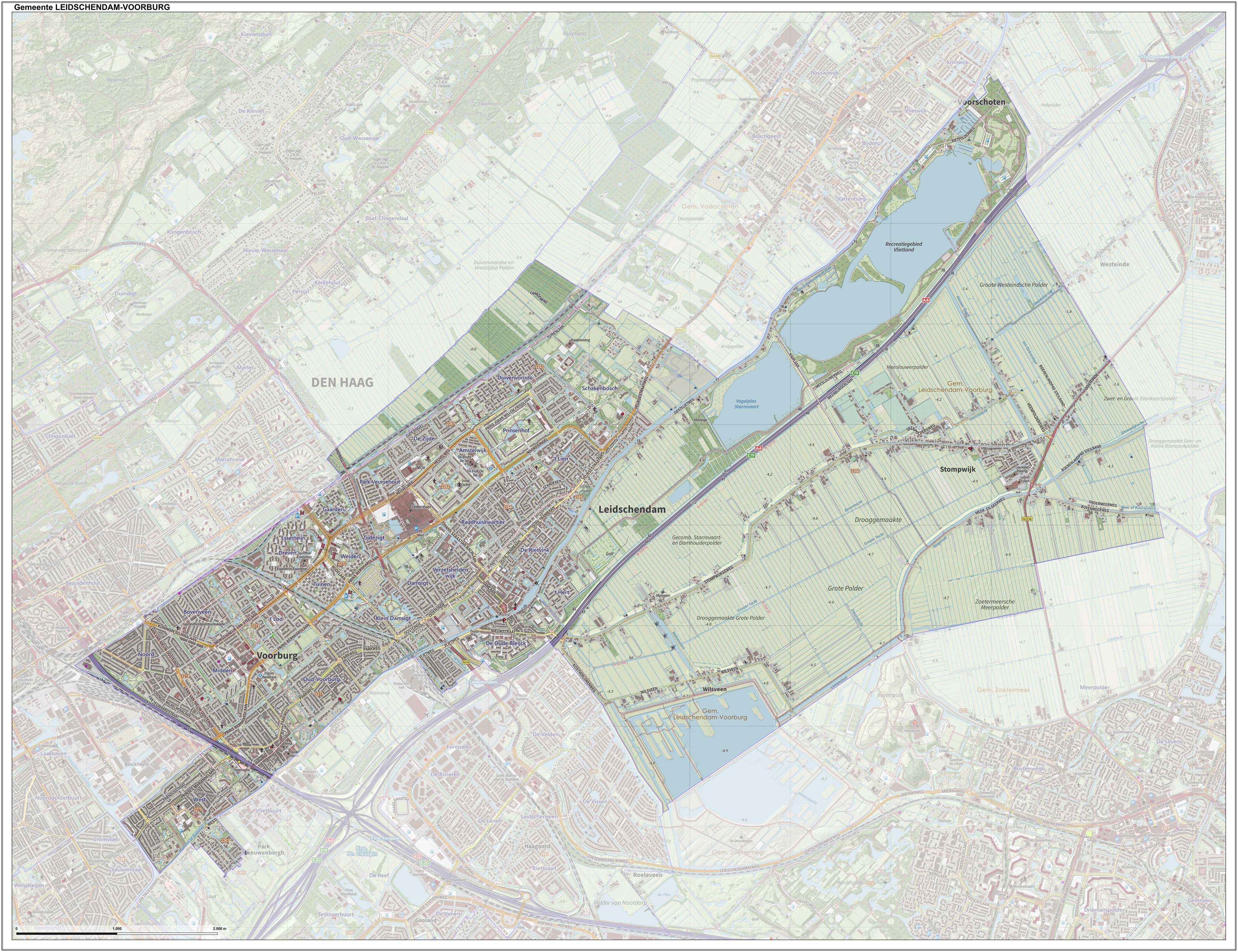
Leidschendam-Voorburg () is a municipality in the western Netherlands, located in the province of South Holland. It had a population of in , and covers an area of of which is water. Origin The municipality of Leidschendam-Voorburg is the result of merging the municipalities Leidschendam and Voorburg in 2002. It consists of the two towns Leidschendam and Voorburg, which grew towards each other in the first half of the 20th century. The village Stompwijk and a hamlet called Wilsveen also belong to the municipality. Leidschendam-Voorburg abuts the city of The Hague and is often regarded as its suburb, even though it is an independent municipality. It is part of the Haaglanden conurbation. Stompwijk is still a rural village, located a few kilometres northeast of Leidschendam. Historic town centers Both Leidschendam and Voorburg have their own historic town center, which are decentrally situated. Historic Leidschendam lies around the ancient locks in the Vliet canal in the easte ... [...More Info...] [...Related Items...] OR: [Wikipedia] [Google] [Baidu] |
Rijswijk
Rijswijk (), formerly known as Ryswick ( ) in English, is a city and municipality in the western Netherlands, in the province of South Holland. Its population was in , and it has an area of , of which is water. The municipality also includes the former villages 't Haantje and Sion, currently also known as Rijswijk-Buiten. Demographics 62% Dutch background, 38% No Dutch background History Archeological excavations indicate that this area of the coastal dunes was already inhabited some 5500 years ago. The formation of the village Rijswijk took place in the 13th century, and its history was dominated by presence of mansions and estates of the nobility and affluent. Among the many country estates known to have been in Rijswijk are: * Arentsburg * Burchvliet * Cromvliet * Den Burgh * De Voorde * Drievliet * 's-Gravenmade * Haag- en Delftzicht * Hilvoorde * Hoekenburg * Hofrust * Hoornwijk * Huis te Werve * Huis ter Nieuwburg * Leeuwendaal * Oversteen * Overvoorde * Schoonoord ... [...More Info...] [...Related Items...] OR: [Wikipedia] [Google] [Baidu] |
Rotterdam The Hague Metropolitan Area
Rotterdam ( , , , lit. ''The Dam on the River Rotte'') is the second largest city and municipality in the Netherlands. It is in the province of South Holland, part of the North Sea mouth of the Rhine–Meuse–Scheldt delta, via the ''"New Meuse"'' inland shipping channel, dug to connect to the Meuse first, but now to the Rhine instead. Rotterdam's history goes back to 1270, when a dam was constructed in the Rotte. In 1340, Rotterdam was granted city rights by William IV, Count of Holland. The Rotterdam–The Hague metropolitan area, with a population of approximately 2.7 million, is the 10th-largest in the European Union and the most populous in the country. A major logistic and economic centre, Rotterdam is Europe's largest seaport. In 2020, it had a population of 651,446 and is home to over 180 nationalities. Rotterdam is known for its university, riverside setting, lively cultural life, maritime heritage and modern architecture. The near-complete destructio ... [...More Info...] [...Related Items...] OR: [Wikipedia] [Google] [Baidu] |
South Holland
South Holland ( nl, Zuid-Holland ) is a province of the Netherlands with a population of over 3.7 million as of October 2021 and a population density of about , making it the country's most populous province and one of the world's most densely populated areas. Situated on the North Sea in the west of the Netherlands, South Holland covers an area of , of which is water. It borders North Holland to the north, Utrecht and Gelderland to the east, and North Brabant and Zeeland to the south. The provincial capital is the Dutch seat of government The Hague, while its largest city is Rotterdam. The Rhine-Meuse-Scheldt delta drains through South Holland into the North Sea. Europe's busiest seaport, the Port of Rotterdam, is located in South Holland. History Early history Archaeological discoveries in Hardinxveld-Giessendam indicate that the area of South Holland has been inhabited since at least c. 7,500 years before present, probably by nomadic hunter-gatherers. Agriculture and perman ... [...More Info...] [...Related Items...] OR: [Wikipedia] [Google] [Baidu] |


