|
HU Postcode Area
The HU postcode area, also known as the Hull postcode area,Royal Mail, ''Address Management Guide'', (2004) is a group of twenty postcode districts in England, which are subdivisions of eight post towns. These cover the south of the East Riding of Yorkshire, including Hull, Beverley, Cottingham, Hessle, Hornsea, Withernsea, Brough and North Ferriby. __TOC__ Coverage The approximate coverage of the postcode districts: , - ! HU1 , HULL , Hull, Centre, Old Town, Albert Dock , Kingston upon Hull , - ! HU2 , HULL , Hull, North of Centre, Wincolmlee , Kingston upon Hull , - ! HU3 , HULL , Hull, Spring Bank, West of Centre, Saint Andrew's Quay, Hull Royal Infirmary , Kingston upon Hull , - ! HU4 , HULL , Hull, Anlaby Common, Anlaby Park, Gipsyville , Kingston upon Hull , - ! HU5 , HULL , Hull, The Avenues , Kingston upon Hull , - ! HU6 , HULL , Hull, Dunswell, Orchard Park, Greenwood , Kingston upon Hull , - ! HU7 , HULL , Hull, Bransholme, Kingswood, Sutt ... [...More Info...] [...Related Items...] OR: [Wikipedia] [Google] [Baidu] |
Post Town
A post town is a required part of all postal addresses in the United Kingdom and Ireland, and a basic unit of the postal delivery system.Royal Mail, ''Address Management Guide'', (2004) Including the correct post town in the address increases the chance of a letter or parcel being delivered on time. Post towns in general originated as the location of delivery offices. , their main function is to distinguish between localities or street names in addresses not including a postcode. Organisation There are approximately 1,500 post towns which are organised by Royal Mail subject to its policy only to impose changes where it has a proven, economic and practical benefit to the organisation, covering its own cost. Each post town usually corresponds to one or more postal districts (the 'outward' part of the postcode, before the space) therefore each post town can cover an area comprising many towns, urban districts and villages. Post towns rarely correspond exactly to administrative b ... [...More Info...] [...Related Items...] OR: [Wikipedia] [Google] [Baidu] |
Sutton-on-Hull
Sutton-on-Hull (also known as Sutton-in-Holderness) is a suburb of the city of Kingston upon Hull, in the ceremonial county of the East Riding of Yorkshire, England. It is located north east of the city centre and has the B1237 road running through it which connects the A165 road with the A1033. History Sutton is mentioned in the Domesday Book as having 20 households and being chiefly owned by the Archbishop of York. Its name in the book is ''Sudtone'' which is Anglo-Saxon in origin and means ''Southern farmstead''. The village acquired its name as the western part of the manor of Sutton was bordered by the River Hull. The area sits on a ridge of land between and high in a flat landscape; Hull City Council describes the area as having the only appreciable hills within the city limits. The village was also in its own parish which developed alongside, but separate from the nearby town of Hull. During the 18th century, the southern part of the village became part of the Muni ... [...More Info...] [...Related Items...] OR: [Wikipedia] [Google] [Baidu] |
Patrington
Patrington is a village and civil parish in the East Riding of Yorkshire, England, in an area known as Holderness, south-east of Hedon, south-east of Kingston upon Hull and south-west of Withernsea on the A1033. Along with Winestead, it was a seat of the ancient Hildyard/Hilliard/Hildegardis family. The Prime Meridian passes just to the east of Patrington. The civil parish is formed by the villages of Patrington and Winestead and the hamlet of Patrington Haven and at the 2011 census, had a population of 2,059, an increase on the 2001 UK census figure of 1,949. RAF Patrington, built during the Second World War, was a radar station and used for ground-controlled interception. In 1955, following the building of a new RAF station at nearby Holmpton, the radar site closed, being surplus to requirements. The new radar site at Holmpton was later renamed RAF Patrington. Patrington was served from 1854 to 1964 by Patrington railway station on the Hull and Holderness Railway. ... [...More Info...] [...Related Items...] OR: [Wikipedia] [Google] [Baidu] |
Hedon
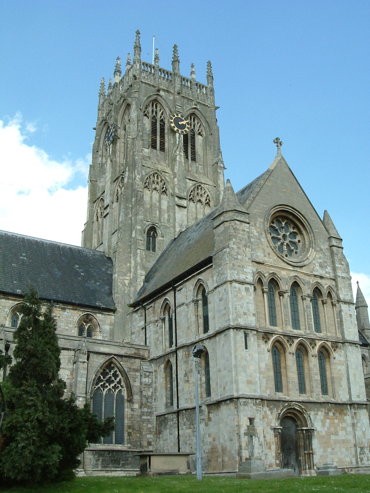
Hedon is a town and civil parish in Holderness in the East Riding of Yorkshire, England. It is situated approximately east of Hull city centre. It lies to the north of the A1033 road at the crossroads of the B1240 and B1362 roads. It is particularly noted for the parish church of St. Augustine, known as the 'King of Holderness', which is a Grade I listed building. In 1991, the town had a population of 6,066, which had risen to 6,332 by the time of the 2001 UK census. By the 2011 UK census, Hedon parish had a population of 7,100, History Hedon is not mentioned in the ''Domesday Book'' which leads to the belief that it was a new town created by the Normans as a port. Hedon was at its most prosperous in the 12th and 13th centuries and at one time was the 11th largest port in England. The decline of the port came with the development of the port of Hull and the building of larger ships which were unable to get up the small river to Hedon. Hedon was given its first charter ... [...More Info...] [...Related Items...] OR: [Wikipedia] [Google] [Baidu] |
Bilton, East Riding Of Yorkshire
Bilton (or Bilton-in-Holderness) is a village and civil parish in the East Riding of Yorkshire, England. It is situated approximately east of Hull city centre on the B1238 road and adjoining the village of Wyton. According to the 2011 UK census, Bilton parish had a population of 2,220, a decrease on the 2001 UK census figure of 2,340. The civil parish of Bilton consists of the villages of Bilton, Ganstead and Wyton. St Peter's Church is a Grade II listed building that was designed by G. T. Andrews and built in 1851. Bilton Community Primary School is situated in Bilton and provides primary education for about 300 pupils from the village and the surrounding area. A site is to be used to construct the biggest solar farm in the UK since 2016. The farm is to be built by Gridserve on behalf of Warrington Borough Council Warrington Borough Council is the local authority of Warrington, Cheshire, England. It is a unitary authority, having the powers of a non-metropol ... [...More Info...] [...Related Items...] OR: [Wikipedia] [Google] [Baidu] |
Willerby, East Riding Of Yorkshire
Willerby is a village and civil parishes in England, civil parish located on the western outskirts of the city of Kingston upon Hull in the East Riding of Yorkshire, England. Willerby was a minor settlement up to the 20th century, during which it became a suburb of Kingston upon Hull, and its urban development extended south-eastwards towards Hull. The village centre is located about west of Kingston upon Hull city centre and lies outside the city boundary. History Until the 20th century Willerby was a small village. Enclosure of land around Willerby was enabled by acts of parliament in 1796 and 1824. In 1844 the population of the township of Willerby was 214 persons, in 45 houses. By the 1850s Willerby had a primitive methodist chapel (built 1850), a Hall, ''Oak Hill House'',Ordnance Survey, Sheet 225, 6" to 1 mile (1:10560), 1855 dating from the late 17th or early 18th century, now known as ''Willerby Hall'', and another large dwelling, the ''Summer House'', later known as ... [...More Info...] [...Related Items...] OR: [Wikipedia] [Google] [Baidu] |
West Ella
West Ella is a small village in the civil parish of Kirk Ella west of Kirk Ella settlement, within the East Riding of Yorkshire, England, on the eastern edge of the Yorkshire Wolds, approximately west of the city of Kingston upon Hull. The village lies on West Ella Road, between Kirk Ella and Swanland – it was beautified by the owners the Sykes family in the 19th century, and as a consequence much of the area is now a conservation area, with many listed buildings. In the two decades after the end of the Second World War the village expanded, more than doubling the housing stock, mainly high quality detached dwellings, with much of the new housing along an additional road, Elveley Drive, running north. West Ella is considered to be one of the most exclusive and desirable villages to live in the East Riding of Yorkshire. Geography The small village of West Ella is around roughly west of the traditional village centre of Kirk Ella; much of the village's housing is located ... [...More Info...] [...Related Items...] OR: [Wikipedia] [Google] [Baidu] |
Kirk Ella
Kirk Ella is a village and civil parish on the western outskirts of Kingston upon Hull, approximately west of the city centre, situated in the East Riding of Yorkshire, England. The parish includes West Ella. Kirk Ella has been a village since at least the 11th century: it remained a relatively unimportant hamlet until the 18th and 19th centuries, when it became a location of choice for merchants of Hull wishing to live outside the city. Several large houses were built during this period, without any substantial increase in village population. After the 1920s, the village grew substantially, with large amounts of high quality housing surrounding the traditional village centre. The village continued to grow during the second half of the 20th century, becoming a large suburb, contiguous with Anlaby and Willerby. The civil parish is called "Kirk Ella and West Ella". Geography Kirk Ella is primarily residential, but has a few shops. Modern Kirk Ella is contiguous w ... [...More Info...] [...Related Items...] OR: [Wikipedia] [Google] [Baidu] |
Anlaby
Anlaby is a village forming part of the western suburbs of Kingston upon Hull, in the East Riding of Yorkshire, England. It forms part of the civil parish of Anlaby with Anlaby Common. History Anlaby is recorded in the ''Domesday Book'' as "Umlouebi" or "Unlouebi", a habitation within the manor of North Ferriby which was of 19 persons including a priest. The name is thought to derive from the Old Norse personal name '' Óláfr'' (or ''Unlaf'', ''Anlaf'') and ''by'' meaning 'farmstead': "Anlaf's village". By the beginning of the 13th century the village was known by the spelling "Anlauebi". Shortly after the establishment of Kingston upon Hull by Edward I, a road from Hull to Anlaby was constructed in 1302. In 1392 some inhabitants of Anlaby, Cottingham and 'Woolferton' rioted over the construction of canals supplying water from sources near their villages to Kingston upon Hull; approximately 1,000 are said to have laid siege unsuccessfully to Hull, and some of the ring ... [...More Info...] [...Related Items...] OR: [Wikipedia] [Google] [Baidu] |
Marfleet
Marfleet is an area of Kingston upon Hull, East Riding of Yorkshire, England, in the east of the city, near King George Dock. Marfleet was until the late 20th century a small village outside the urban area of Hull – developments including the Hull and Holderness Turnpike (1833), the Hull and Holderness Railway (1854) and the King George Dock (1914), as well as establishments of factories in the area from the late 19th century onwards (notably one by H. H. Fenner & Co., ) caused the development of the area into an industrial suburb. Parts of the former village, including the church still exist, isolated within the predominately industrial landscape. Geography Modern Marfleet is an area within the built up area of Kingston upon Hull on the eastern side of the River Hull – it consists of remnants of the former village, including the historic church, surrounded mainly by industrial buildings and port-side warehousing. Approximate boundaries can be represented ... [...More Info...] [...Related Items...] OR: [Wikipedia] [Google] [Baidu] |
Drypool
Drypool (''archaic'' DripoleAlso Dritpole, Dritpol, Dripold, Dripol, Dridpol) is an area within the city of Kingston upon Hull, England. Historically Drypool was a village, manor and later parish on the east bank of the River Hull near the confluence of the Humber Estuary and River Hull; it is now part of the greater urban area of Kingston upon Hull, and gives its name to a local government ward. Modern Drypool ward is a mixture of light industrial developments and housing, mainly terraced, as well as the post 1980s housing development 'Victoria Dock Village' built on the infilled site of the former Victoria Dock. The area also includes 'The Deep' aquarium, several schools, and a swimming baths. Geography Drypool ward The local government ward of Drypool (2001) has its north-east border formed by Laburnum Avenue and Chamberlain Road, south-west of East Park, and its western border former by the River Hull, and its eastern border former by New Bridge Road, and the eastern l ... [...More Info...] [...Related Items...] OR: [Wikipedia] [Google] [Baidu] |
Longhill, Kingston Upon Hull
Longhill is in the north-east of Kingston upon Hull, in the East Riding of Yorkshire, England. It was mainly built during the 1950s, with more than half of the homes now belonging to private owner occupier Owner-occupancy or home-ownership is a form of housing tenure in which a person, called the owner-occupier, owner-occupant, or home owner, owns the home in which they live. The home can be a house, such as a single-family house, an apartment, con ...s. On Longhill, there are plenty of facilities for all ages, including a recreational centre known as ''Eastmount''. The local primary schools on Longhill are: Longhill Primary School and Wansbeck Primary School. The nearest secondary schools to Longhill are: The Marvell College, Archbishop Sentamu Academy, Malet Lambert and Winifred Holtby Academy. Longhill is served by Labour MP for East Hull - Karl Turner. Longhill has bus services provided by East Yorkshire Motor Services - routes 56 and 57. Housing estates in Kingston ... [...More Info...] [...Related Items...] OR: [Wikipedia] [Google] [Baidu] |


.jpg)
