|
Gwembe
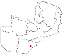
Gwembe is a small town in Southern Province of Zambia with a population of about 2000 people. It is the largest town in Gwembe District which is on Lake Kariba between Siavonga Siavonga is a town in the Southern Province of Zambia, lying on the north shore of Lake Kariba. It is Zambia's principal tourism centre for the lake, with accommodation, boating and fishing tours on offer. History Tongas are found in this reg ... and Sinazongwe Districts. It used to be the district headquarters until it moved to Munyumbwe some 30 km south-east of the town. One of the main agricultural activities in this district used to be cotton growing which was influenced by the presence of a cotton ginnery plant, which provided a lot of employment to the residents. As of 2017, the local people have focused on growing maize as a source of food and income. Most of the residents are subsistence farmers. Gwembe district is divided into three areas, Gwembe township, Munyumbwe and Chipepo. Ther ... [...More Info...] [...Related Items...] OR: [Wikipedia] [Google] [Baidu] |
Gwembe District
Gwembe District is a district of Zambia Zambia (), officially the Republic of Zambia, is a landlocked country at the crossroads of Central Africa, Central, Southern Africa, Southern and East Africa, although it is typically referred to as being in Southern Africa at its most cent ..., located in Southern Province. The capital now lies at Munyumbwe (the capital was formerly Gwembe Town). As of the 2016 Zambian Census, the district had a population of 53,117 people. References Districts of Southern Province, Zambia {{Zambia-geo-stub ... [...More Info...] [...Related Items...] OR: [Wikipedia] [Google] [Baidu] |
Southern Province, Zambia
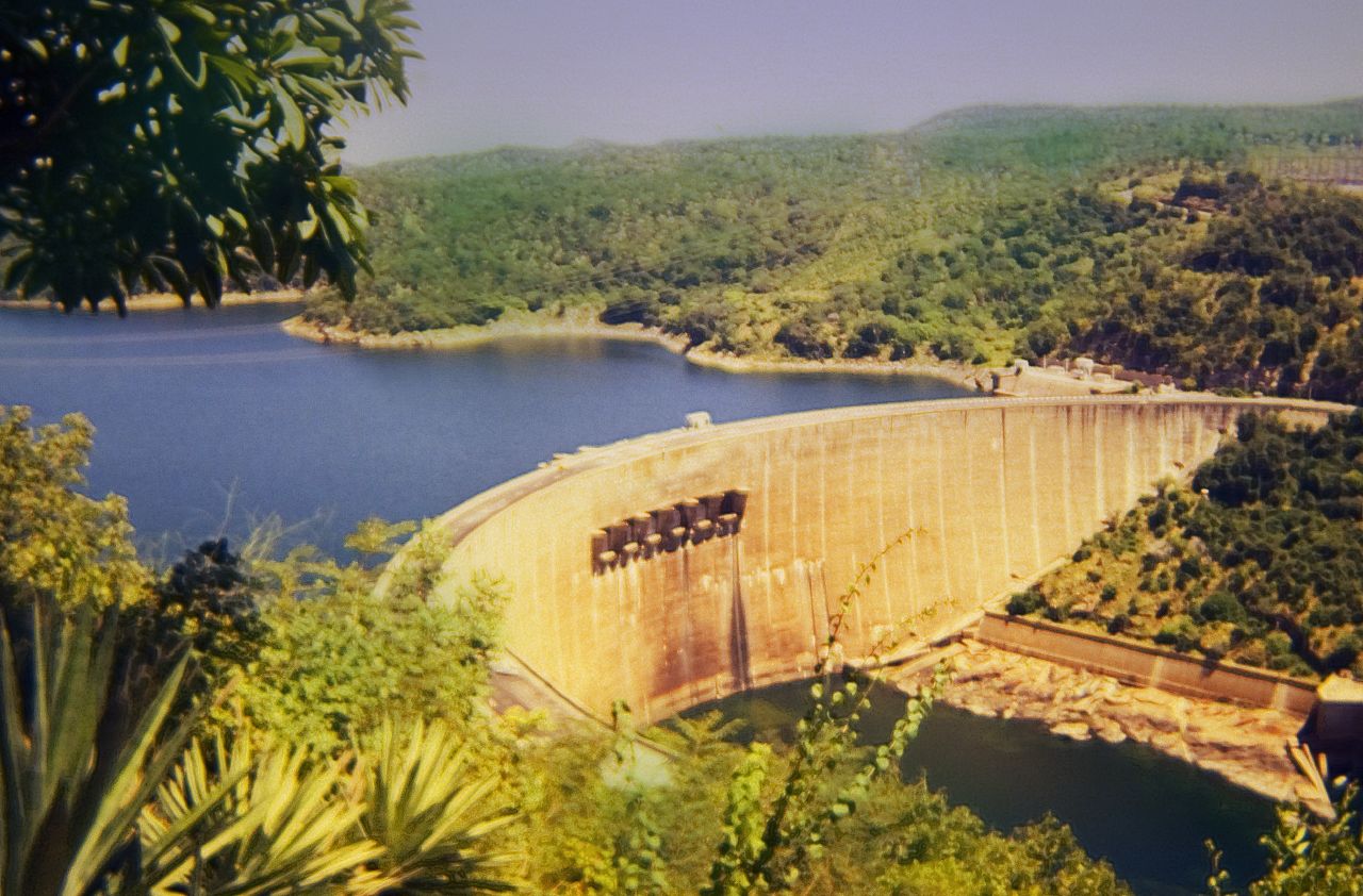
Southern Province is one of Zambia's ten provinces, and home to Zambia's premier tourist attraction, Mosi-oa-Tunya (Victoria Falls), shared with Zimbabwe. The centre of the province, the Southern Plateau, has the largest area of commercial farmland of any Zambian province, and produces most of the maize crop. The Zambezi River is the province's southern border, and Lake Kariba, formed by the Kariba Dam, lies along the province's south-eastern edge. The eastern border is the Kariba Gorge and Zambezi, and the north-east border is the Kafue River, forming its border with Lusaka Province. The Kafue Flats lie mostly within the province's northern border with Central Province. In the north west lies part of the famous Kafue National Park, the largest in Zambia. The south-western border with Western Province runs through the teak forests around Mulobezi which once supported a commercial timber industry and for which the Mulobezi Railway was built. The provincial capital is Choma. Un ... [...More Info...] [...Related Items...] OR: [Wikipedia] [Google] [Baidu] |
Districts Of Zambia
The ten provinces of Zambia are divided into a total of 116 districts as of 2018. Article 109 in part VIII of the constitution of Zambia deals with local government. It states only that there should be some form of local government, and that this local government should be based on democratically elected councils on the basis of universal adult suffrage. Provincial Districts in Zambia Until 2011, Zambia was subdivided into 72 districts. However, since 2011, a number of new districts have been created, bringing the total to 116 as of 2018. ;Total Districts by Province # Central Province (11 districts) # Copperbelt Province (10 districts) # Eastern Province (15 districts) # Luapula Province (12 districts) # Lusaka Province (6 districts) # Muchinga Province (8 districts) # Northern Province (12 districts) # North-Western Province (11 districts) # Southern Province (15 districts) # Western Province (16 districts) Central Province Central Province is composed of 11 distric ... [...More Info...] [...Related Items...] OR: [Wikipedia] [Google] [Baidu] |
List Of Sovereign States
The following is a list providing an overview of sovereign states around the world with information on their status and recognition of their sovereignty. The 206 listed states can be divided into three categories based on membership within the United Nations System: 193 UN member states, 2 UN General Assembly non-member observer states, and 11 other states. The ''sovereignty dispute'' column indicates states having undisputed sovereignty (188 states, of which there are 187 UN member states and 1 UN General Assembly non-member observer state), states having disputed sovereignty (16 states, of which there are 6 UN member states, 1 UN General Assembly non-member observer state, and 9 de facto states), and states having a special political status (2 states, both in free association with New Zealand). Compiling a list such as this can be a complicated and controversial process, as there is no definition that is binding on all the members of the community of nations concerni ... [...More Info...] [...Related Items...] OR: [Wikipedia] [Google] [Baidu] |
Provinces Of Zambia
Zambia is divided into 10 provinces for administrative purposes. Each province is headed by a minister appointed by the President and there are ministries of central government for each province. The administrative head of each province is the Permanent Secretary, appointed by the President. There are Deputy Permanent Secretary, heads of government departments and civil servants at the provincial level. Provinces are further divided into districts and almost all the district headquarters are the same as the district names. Each of the 116 districts in the 10 provinces has a council which is headed by an elected representative, called councilor. Each councilor holds office for five years. Each council is responsible for raising and collecting local taxes and the budgets of the council are audited and submitted every year after the annual budget. Zambia has predominantly rural provinces and hence there are only three municipal councils. The government stipulates 63 different funct ... [...More Info...] [...Related Items...] OR: [Wikipedia] [Google] [Baidu] |
Köppen Climate Classification
The Köppen climate classification is one of the most widely used climate classification systems. It was first published by German-Russian climatologist Wladimir Köppen (1846–1940) in 1884, with several later modifications by Köppen, notably in 1918 and 1936. Later, the climatologist Rudolf Geiger (1894–1981) introduced some changes to the classification system, which is thus sometimes called the Köppen–Geiger climate classification system. The Köppen climate classification divides climates into five main climate groups, with each group being divided based on seasonal precipitation and temperature patterns. The five main groups are ''A'' (tropical), ''B'' (arid), ''C'' (temperate), ''D'' (continental), and ''E'' (polar). Each group and subgroup is represented by a letter. All climates are assigned a main group (the first letter). All climates except for those in the ''E'' group are assigned a seasonal precipitation subgroup (the second letter). For example, ''Af'' indi ... [...More Info...] [...Related Items...] OR: [Wikipedia] [Google] [Baidu] |
Zambia
Zambia (), officially the Republic of Zambia, is a landlocked country at the crossroads of Central Africa, Central, Southern Africa, Southern and East Africa, although it is typically referred to as being in Southern Africa at its most central point. Its neighbours are the Democratic Republic of the Congo to the north, Tanzania to the northeast, Malawi to the east, Mozambique to the southeast, Zimbabwe and Botswana to the south, Namibia to the southwest, and Angola to the west. The capital city of Zambia is Lusaka, located in the south-central part of Zambia. The nation's population of around 19.5 million is concentrated mainly around Lusaka in the south and the Copperbelt Province to the north, the core economic hubs of the country. Originally inhabited by Khoisan peoples, the region was affected by the Bantu expansion of the thirteenth century. Following the arrival of European exploration of Africa, European explorers in the eighteenth century, the British colonised the r ... [...More Info...] [...Related Items...] OR: [Wikipedia] [Google] [Baidu] |
Lake Kariba
Lake Kariba is the world's largest artificial lake and reservoir (water), reservoir by List of lakes by volume, volume. It lies upstream from the Indian Ocean, along the border between Zambia and Zimbabwe. Lake Kariba was filled between 1958 and 1963 following the completion of the Kariba Dam at its northeastern end, flooding the Kariba Gorge on the Zambezi River. The Zimbabwean town of Kariba, Zimbabwe, Kariba was built for construction workers on the lake's dam, while some other settlements such as Binga village and Mlibizi in Zimbabwe and Siavonga and Sinazongwe in Zambia have grown up to house people displaced by the rising waters. Physical characteristics Lake Kariba is over long and up to in width. It covers an area of and its storage capacity is . The mean depth of the lake is ; the maximum depth is . It is the world's largest man-made reservoir by volume, four times as large as the Three Gorges Dam. The enormous mass of water (approximately 180,000,000,000,000 kilogra ... [...More Info...] [...Related Items...] OR: [Wikipedia] [Google] [Baidu] |
Siavonga District
Siavonga District is a district of Zambia, located in Southern Province. The capital lies at Siavonga. As of the 2000 Zambian Census, the district had a population of 58,864 people. It is separated from Zimbabwe by Lake Kariba Lake Kariba is the world's largest artificial lake and reservoir (water), reservoir by List of lakes by volume, volume. It lies upstream from the Indian Ocean, along the border between Zambia and Zimbabwe. Lake Kariba was filled between 1958 and .... References Districts of Southern Province, Zambia {{Zambia-geo-stub ... [...More Info...] [...Related Items...] OR: [Wikipedia] [Google] [Baidu] |
Sinazongwe District
Sinazongwe District is a district of Zambia Zambia (), officially the Republic of Zambia, is a landlocked country at the crossroads of Central Africa, Central, Southern Africa, Southern and East Africa, although it is typically referred to as being in Southern Africa at its most cent ..., located in Southern Province. The capital lies at Sinazongwe. As of the 2010 Zambian Census, the district had a population of 101,617 people. References Districts of Southern Province, Zambia {{Zambia-geo-stub ... [...More Info...] [...Related Items...] OR: [Wikipedia] [Google] [Baidu] |


