|
Groupe Desgagnés
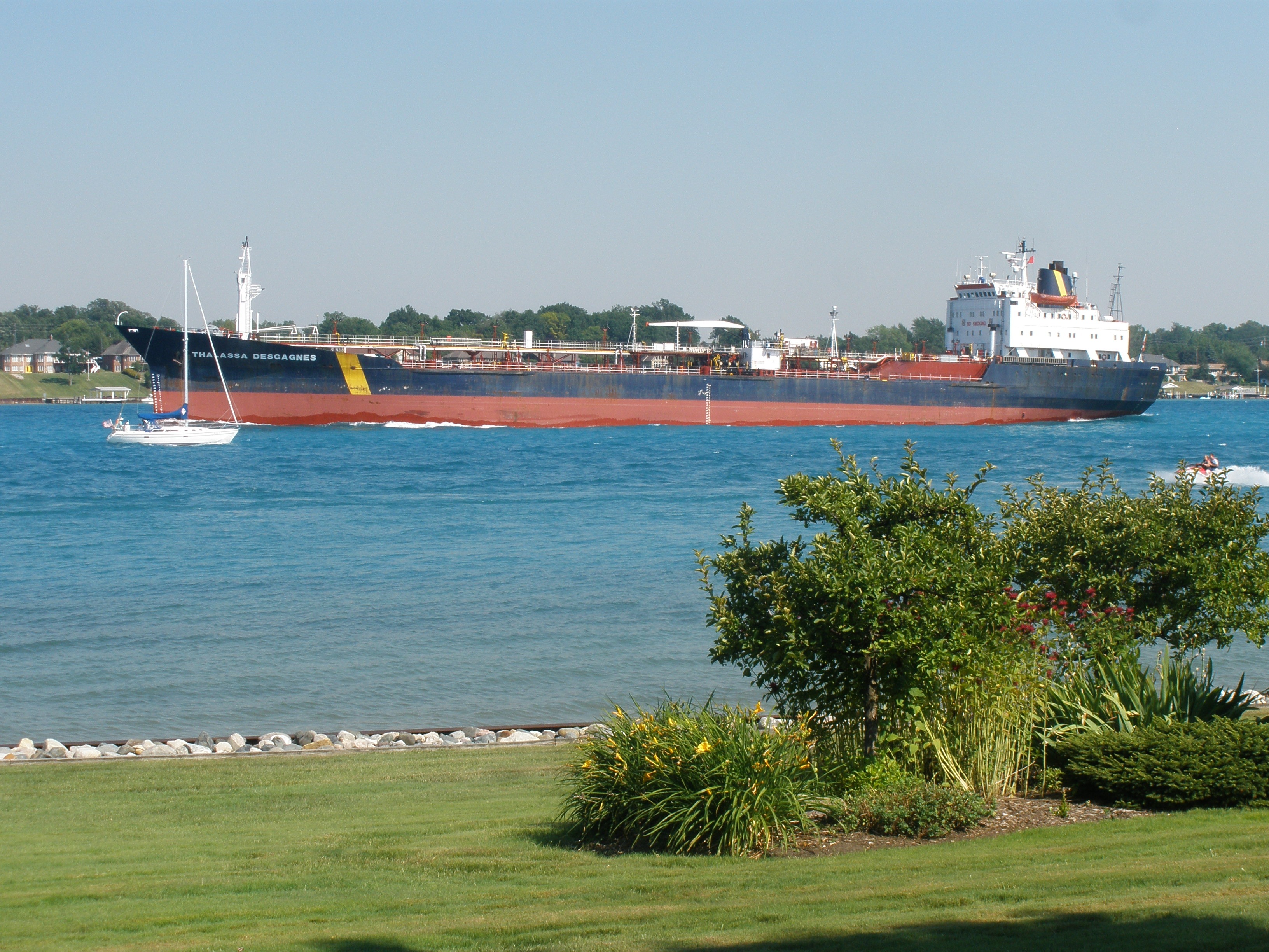
Groupe Desgagnés is a Canadian shipping firm. It operates a fleet of nineteen vessels. Gross earnings in 2014 were around $230 million. Desgagnes Transarctik Desgagnes Transarctik, a subsidiary of Groupe Desgagnés, is partners with Arctic Co-operatives Limited, the Qikiqtaaluk Corporation, Sakku Investments Corporation and the Kitikmeot Corporation. Operating as Nunavut Sealink and Supply Incorporated they provide annual sealift to Canadian Arctic communities. Fleet All vessels fly the Canadian flag and are operated by Canadian crews, except a few vessels when used for international trade. was part of the fleet until her sale in 2007. Tankers * , , ''Paul A. Desgagnés'' and ''Rossi A. Desgagnés'': tankers with dual-fuel Wärtsilä 5RT-flex 60DF propulsion engines allowing the use of liquefied natural gas (LNG), marine diesel oil (MDO) or heavy fuel oil (HFO), built in Turkey in 2016. They have ice class Polar 7. * : chemical tanker * ''Espada Desgagnés'' and ''Laurentia ... [...More Info...] [...Related Items...] OR: [Wikipedia] [Google] [Baidu] |
Le Soleil (Quebec)
''Le Soleil'' (''The Sun'') is a French-language daily newspaper in Quebec City, Quebec. It was founded on December 28, 1896 and is published in compact format since April 2006 (it had traditionally been printed in broadsheet). It is distributed mainly in Quebec City; however, it is also for sale at newsstands in Ottawa, Montreal, New Brunswick and some places in Florida, where many Quebecers spend the winter. It is owned by Groupe Capitales Médias. On weekdays ''Le Soleil'' contains four sections : the front section ''(Actualités)'', containing local and international news coverage; the Arts & Life, or "B" section ''(Arts & Vie)''; the Business, or "C" section ''(Économie)''; and the Sports, or "S" section. History ''Le Soleil'' rose from the ashes of '' L'Électeur'', the official newspaper of the Liberal Party of Canada, which shut down in December 1896. The first edition was published on December 28, 1896. one day after the disappearance of its predecessor, which shut ... [...More Info...] [...Related Items...] OR: [Wikipedia] [Google] [Baidu] |
Côte-Nord
Côte-Nord (, ; ; land area ) is the second-largest administrative region by land area in Quebec, Canada, after Nord-du-Québec. It covers much of the northern shore of the Saint Lawrence River estuary and the Gulf of Saint Lawrence past Tadoussac. While most of the region is in the same time zone as the rest of Quebec, the far eastern portion east of the 63rd meridian, excluding the Minganie Regional County Municipality, is officially in the Atlantic Time Zone and does not observe daylight saving time. Population At the 2016 Canadian Census, the population amounted to 92,518, approximately 1.1% of the province's population, spread across 33 municipalities, various Indian reserves and a Naskapi reserved land. The towns of Baie-Comeau and Sept-Îles, Quebec, Sept-Îles combined amount to a little more than half of the population of the region. Geography and economy Côte-Nord was created as an administrative region in 1966. Important landmarks of Côte-Nord include Anticost ... [...More Info...] [...Related Items...] OR: [Wikipedia] [Google] [Baidu] |
Saint-Augustin, Côte-Nord, Quebec
Saint-Augustin is a municipality and settlement in Le Golfe-du-Saint-Laurent Regional County Municipality in the Côte-Nord region of Quebec, Canada, known by its large English-speaking population as St. Augustine. Its territory stretches along the Gulf of Saint Lawrence, whereas the settlement itself is located on a peninsula in the Saint Augustin Bay at the mouth of the Saint-Augustin River. On the opposite shore of this river is the Innu settlement of Pakuashipi. The majority of its inhabitants are Métis in Canada, Métis, descendants of Inuit and Europeans, many of whom still practice subsistence activities such as hunting, fishing, wood cutting, trapping and wild berry gathering, using both traditional and modern technologies. History The area was originally inhabited by Innu and Inuit tribes, who were mostly displaced once Europeans began to exploit the area. In the late 17th century, a French post may have been established on Vieux Poste Island. Circa 1720, a trading po ... [...More Info...] [...Related Items...] OR: [Wikipedia] [Google] [Baidu] |
Gros-Mécatina, Quebec
Gros-Mécatina is a municipality on the Lower North Shore of the Gulf of Saint Lawrence, near the border with Labrador in Quebec, Canada. Located near crab, lobster, and scallop fishing grounds, it is dependent on the fishing business, including a fish processing factory that contributes to regional economic activity. The isolated municipality can only be reached via a regular weekly ferry service, or La Tabatière Airport. The villages of La Tabatière and Mutton Bay are connected via a asphalted road that has views of the gulf from the mountains; but in the winter the road is not plowed, and the only access is via snowmobile. The name, pronounced (me-kuh-TEE-nuh) is from the Innu word ''makatinau'', or "It is a large mountain." History Exploration of the area began in 1535 when Jacques Cartier passed by during his second voyage. The place became an important hunting and fishing ground in the first part of the 18th century. From 1739, Jean-Baptiste Pommereau acquired the fish ... [...More Info...] [...Related Items...] OR: [Wikipedia] [Google] [Baidu] |
Harrington Harbour, Quebec
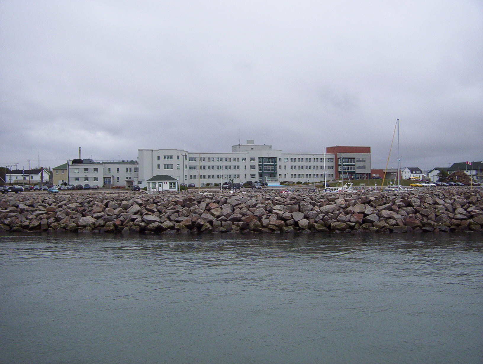
Harrington Harbour is an unconstituted locality within the municipality of Côte-Nord-du-Golfe-du-Saint-Laurent in the Côte-Nord region of Quebec, Canada. History Harrington Harbour was founded near the end of the 19th century by fishermen from Newfoundland. The primary activity is commercial fishing for crabs, lobster, turbot, halibut, and cod. Harrington Harbour was named after Charles Stanhope, 3rd Earl of Harrington. It is also known locally as "Hospital Island", from its earlier role as a medical centre for the area. Harrington Harbour is a small village on average 300 residents. Harrington Harbour was originally settled by Newfoundland families in search of fish stocks in the second half of the 19th century. Dr. Wilfred Grenfell, founder of the famous medical mission in the region, visited Harrington Harbour starting in the late 19th century. Grenfell built a hospital on the island, earning the village its nickname of Hospital Island. Local tradition claims that this i ... [...More Info...] [...Related Items...] OR: [Wikipedia] [Google] [Baidu] |
La Romaine, Quebec
La Romaine, also known as Unamenshipit in Innu-aimun, is an Innu First Nations reserve in the Côte-Nord region of Quebec, Canada, at the mouth of the Olomane River on the Gulf of Saint Lawrence. It belongs to the Innu band of Unamen Shipu. Being an enclave within the Municipality of Côte-Nord-du-Golfe-du-Saint-Laurent, it is geographically within Le Golfe-du-Saint-Laurent Regional County Municipality but administratively not part of it. Directly adjacent to the reserve is the community of La Romaine consisting of a small French-speaking population. La Romaine is only accessible by boat or via the La Romaine Airport. It is serviced by a nursing station, community radio station, arena, community and recreation centre, municipal water and sewer system, fire station, and an aboriginal police force. The name ''La Romaine'' is the French adaptation of the word ''Ulaman''. Before its spelling was standardized, the place has also been called in times past: Fort Romaine, Olomanshibu, ... [...More Info...] [...Related Items...] OR: [Wikipedia] [Google] [Baidu] |
Kegashka, Quebec
Kegashka, population 138 (as of the 2011 census), is the easternmost point in the Côte-Nord region of Quebec, Canada to be reachable by road without passing through Newfoundland and Labrador. Quebec Route 138 reached the community on September 26, 2013 with the inauguration of a bridge across the Natashquan River. An unconstituted locality (as defined by Statistics Canada in the Canada 2011 Census) within the municipality of Côte-Nord-du-Golfe-du-Saint-Laurent, its name is also spelled Kégashka and Kegaska (the latter is preferred by the Commission de toponymie du Québec). Geography Kegaska village is located about 60 km (40 miles) east of the town of Natashquan and 47 km (30 miles) (in direct line) west of the town of La Romaine. Kegaska is built on a point of land between two bays (Muddy Bay and Kegaska Bay). Located opposite of the village, the Black Isle (Île Noire, in French) is connected to the mainland by a bridge. This island has an old lighthouse us ... [...More Info...] [...Related Items...] OR: [Wikipedia] [Google] [Baidu] |
Natashquan, Quebec (township)
Natashquan is a municipality in Minganie Regional County Municipality, Côte-Nord region, Quebec, Canada. It should not be confused with the adjacent but separate Innu reserve of Nutashkuan. The municipality is named after the Natashquan River, which had already been mapped and named in the 17th century. It comes from the Innu language, meaning "where one hunts for bear". In addition to the village of Natashquan itself, the municipality also includes the small community of Pointe-Parent () that is located on the Natashquan River, directly adjacent to the Natashquan Reserve. It is home to some fishermen's homes and was served by a post office from 1953 to 1976. Once also known as Pointe-du-Poste and Village-du-Poste, Pointe-Parent was named after priest Pierre-Clément Parent (1733–1784) who served as missionary in Tadoussac and Labrador and died in Natashquan. History While Jacques Cartier had visited the area in 1534 and a trading post already existed in 1710 at the mouth o ... [...More Info...] [...Related Items...] OR: [Wikipedia] [Google] [Baidu] |
Havre-Saint-Pierre
Havre-Saint-Pierre is a town on Pointe-aux-Esquimaux, which is on the Quebec north shore (Côte-Nord) of the Saint Lawrence River in Canada. Located along Route 138 some east of Sept-Îles, it is the largest town and seat of the Minganie RCM, and home to many government, municipal, and regional services. Historically, the town's first inhabitants came from the Magdalen Islands in the nineteenth century. As a result, the people of the town speak a dialect much more closely related to Acadian French than to Quebec French. Other important geological features near the town include the Romaine River to the north and west, les Chutes Manitou, on the Manitou River to the west, l'Ile du Havre, less than a kilometre offshore from the town, and Anticosti Island, which on clear days can be seen to the south of the town. History In 1857, a group of Acadian families from the Magdalen Islands, who had been deported from Savannah (Georgia, USA), settled on Eskimo Point (''Pointe aux Esqui ... [...More Info...] [...Related Items...] OR: [Wikipedia] [Google] [Baidu] |
Anticosti Island
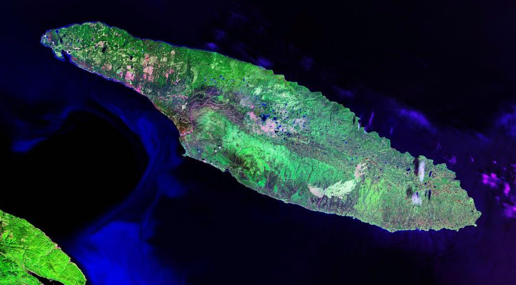
; moe, Notiskuan; mic, Natigostec , sobriquet = , image_name = RiviereHuileAnticosti.jpg , image_caption = Salmon fisherman on Rivière à l'Huile , image_map = , map_alt = , map_size = , map_caption = , pushpin_map = Canada Quebec , pushpin_label = , pushpin_label_position = , pushpin_map_alt = , pushpin_relief = , pushpin_map_caption = , coordinates = , etymology = , location = Gulf of Saint Lawrence , grid_reference = , archipelago = , waterbody = , total_islands = , major_islands = , area_km2 = 7,953 ... [...More Info...] [...Related Items...] OR: [Wikipedia] [Google] [Baidu] |
Port-Menier, Quebec
Port-Menier, Quebec is a small fishing town located on the western end of Anticosti Island, Quebec, Canada, part of the L'Île-d'Anticosti municipality. The port village was built during the late 19th century by French chocolate maker Henri Menier. The village is the hub of Anticosti Island. Its population doubles in the summer with seasonal workers and tourists. The economic mainstays are outdoor tourism, especially deer hunting, and forestry/logging. Services available in Port-Menier are: general and grocery stores, gas station, banking (Caisse populaire Desjardins), car rental (Location Sauvageau), restaurant, and lodging. Port-Menier can be reached via a ferry that runs between Sept-Îles, Port-Menier and Havre-Saint-Pierre, as well as other destinations along the north shore of the Saint Lawrence River. This service is operated by Relais Nordik and runs from April through January. The nearby Port-Menier Airport also provides transportation options for the town. History ... [...More Info...] [...Related Items...] OR: [Wikipedia] [Google] [Baidu] |


