|
Große Aa (Aabach)
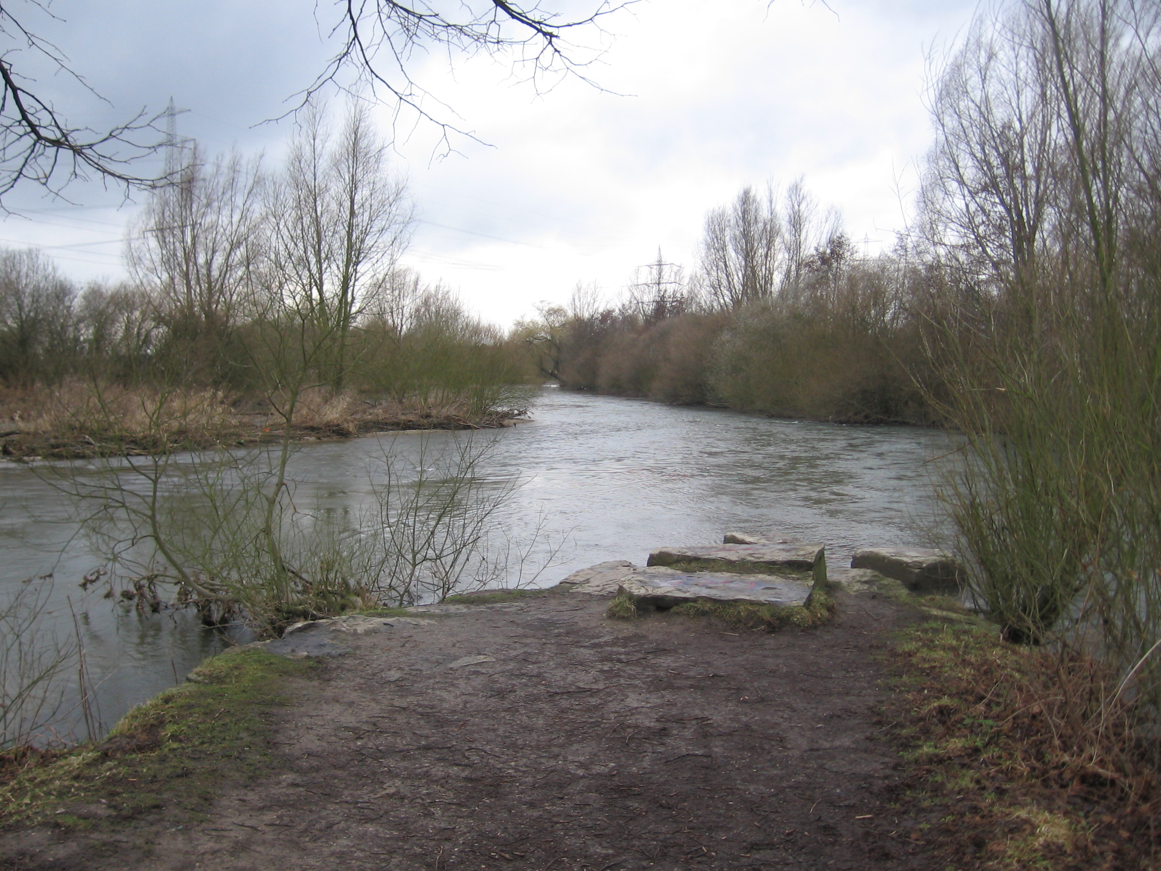
The Aabach (also: ''Große Aa'') is a river in Germany, a left tributary of the river Afte. It rises near the village Madfeld, part of the town Brilon, in eastern North Rhine-Westphalia near the border with Hesse. From there it flows north between mountains up to high through a forested landscape, partly in the natural park Diemelsee. After a few kilometers it flows into the artificial lake Aabachstausee. It flows to the north and empties only about further north after Bad Wünnenberg, where it flows into the Afte. The source of the Aabach is at the divide between the Weser and Rhine river basins: the Aabach flows to the north and drains into the Rhine via the Afte, Alme and Lippe, while the small rivers that rise on the southern side of the ridge drain into the Weser through the Hoppecke and Diemel. See also * List of rivers of North Rhine-Westphalia A list of rivers of North Rhine-Westphalia, Germany: A * Aa, left tributary of the Möhne * Aa, left tributary of the ... [...More Info...] [...Related Items...] OR: [Wikipedia] [Google] [Baidu] |
Brilon
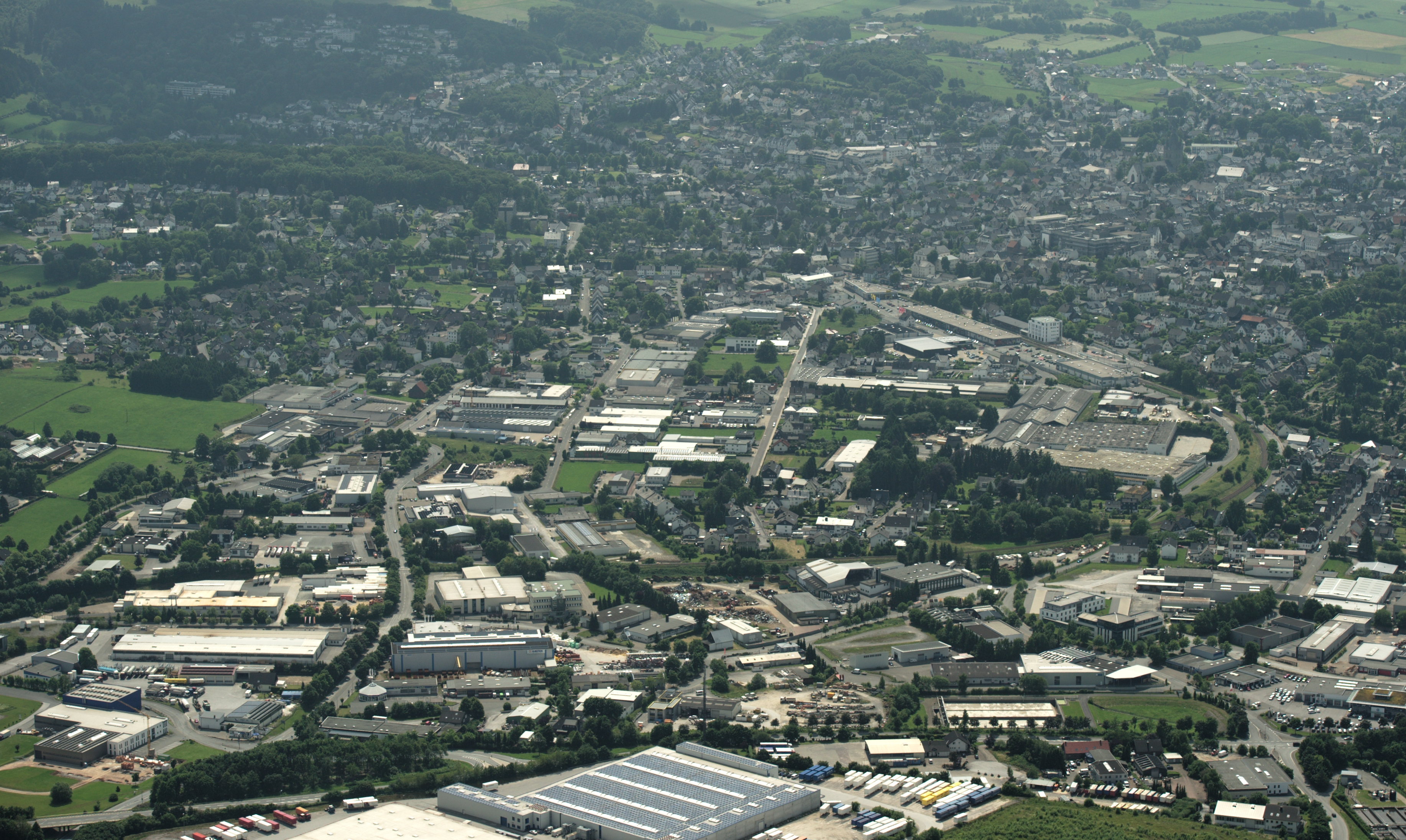
Brilon (; Westphalian: ''Brailen'') is a town in North Rhine-Westphalia, central Germany, that belongs to the Hochsauerlandkreis. Geography Brilon is situated on the Brilon Heights at an altitude of about 450 m on the upper reaches of the river Möhne. The town lies between the Arnsberg Forest nature reserve to the west and the Lake Diemel nature reserve and the Hoppecke to the south-east. Neighboring municipalities Division of the town After the local government reforms of 1975 Brilon consists of 17 districts: * Alme (1.273 inhabitants) * Altenbüren (1.453 inhabitants) * Bontkirchen (553 inhabitants) * Brilon Town (14.513 inhabitants) * Brilon-Wald (595 inhabitants) * Esshoff (80 inhabitants) * Gudenhagen/Petersborn (1.273 inhabitants) * Hoppecke (1.330 inhabitants) * Madfeld (1.395 inhabitants) * Messinghausen (898 inhabitants) * Nehden (503 inhabitants) * Radlinghausen (129 inhabitants) * Rixen (143 inhabitants) * Rösenbeck (858 inhabitants) * Scharfenberg (1.533 ... [...More Info...] [...Related Items...] OR: [Wikipedia] [Google] [Baidu] |
Water Divide
A drainage divide, water divide, ridgeline, watershed, water parting or height of land is elevated terrain that separates neighboring drainage basins. On rugged land, the divide lies along topographical ridges, and may be in the form of a single range of hills or mountains, known as a dividing range. On flat terrain, especially where the ground is marshy, the divide may be difficult to discern. A triple divide is a point, often a summit, where three drainage basins meet. A ''valley floor divide'' is a low drainage divide that runs across a valley, sometimes created by deposition or stream capture. Major divides separating rivers that drain to different seas or oceans are continental divides. The term ''height of land'' is used in Canada and the United States to refer to a drainage divide. It is frequently used in border descriptions, which are set according to the "doctrine of natural boundaries". In glaciated areas it often refers to a low point on a divide where it is ... [...More Info...] [...Related Items...] OR: [Wikipedia] [Google] [Baidu] |
List Of Rivers Of North Rhine-Westphalia
A list of rivers of North Rhine-Westphalia, Germany: A * Aa, left tributary of the Möhne * Aa, left tributary of the Nethe * Aa, left tributary of the Werre * Aabach, tributary of the Afte * Aabach, small river in the Ems river system *Abbabach *Abrocksbach * Afte *Agger * Ahler Bruchgraben * Ahr * Ahre *Ahse *Alaunbach *Albaumer Bach * Alche * Alme * Alte Emscher *Alte Hessel *Alte Issel * Altenau *Angel * Angerbach * Ankerbach *Arbach * Armuthsbach * Arpe, left tributary of the Wenne joining it at Berge (a district of Meschede) * Arpe, left tributary of the Wenne joining it at Niederberndorf (a district of Schmallenberg) *Arzdorfer Bach, alternative name for Godesberger Bach * Asbeke * Asdorf * Aue *Auelsbach * Auer Bach *Aupke *Axtbach B *Baagebach * Baarbach * Babenhausener Bach *Bachseifen *Bachumer Bach * Banfe * Bärenbach * Bastau * Beberbach *Beckendorfer Mühlenbach * Bega *Beilbach *Beke * Bekelbach * Belgenbach *Bendahler Bach * Benfe *Bennier Graben * Bentgraben *B ... [...More Info...] [...Related Items...] OR: [Wikipedia] [Google] [Baidu] |
Diemel
The Diemel is a river in Hesse and North Rhine-Westphalia, Germany. It is a left tributary of the Weser. Route The source of the Diemel is near Willingen, in Sauerland. The Diemel flows generally northeast through the towns Marsberg, Warburg, and Trendelburg. It flows into the Weser in Bad Karlshafen Bad Karlshafen () is a baroque, thermal salt spa town in the district of Kassel, in Hesse, Germany. It has 2300 inhabitants in the main ward of Bad Karlshafen, and a further 1900 in the medieval village of Helmarshausen. It is situated at the co .... References Rivers of Hesse Rivers of North Rhine-Westphalia Sauerland Rivers of Germany {{Hesse-river-stub ... [...More Info...] [...Related Items...] OR: [Wikipedia] [Google] [Baidu] |
Hoppecke
Hoppecke is a river in North Rhine-Westphalia and Hesse, Germany. It flows into the Diemel near Marsberg. See also *List of rivers of Hesse A list of rivers of Hesse, Germany: A *Aar, tributary of the Dill *Aar, tributary of the Lahn *Aar, tributary of the Twiste * Aarbach * Affhöllerbach * Ahlersbach, tributary of the Kinzig in Schlüchtern-Herolz * Ahlersbach, tributary of the Ki ... References Rivers of Hesse Rivers of North Rhine-Westphalia Rivers of Germany {{NorthRhineWestphalia-river-stub ... [...More Info...] [...Related Items...] OR: [Wikipedia] [Google] [Baidu] |
Lippe (river)
The Lippe () is a river in North Rhine-Westphalia, Germany. It is a right tributary of the Rhine and in length with an elevation difference of 125 metres and a catchment area of 4.890 km². The source is located at the edge of the Teutoburg Forest in Bad Lippspringe close to the city of Paderborn. It runs westward through Paderborn, Lippstadt and then along the northern edge of the Ruhr area, parallel to the river Emscher and river Ruhr. The river finally enters the Rhine at Wesel. Description and history The river Lippe has been used as an infrastructure in Roman times. For the Romans the river (named ''Lupia'') was a gateway to Germania, running from the river Rhine to the region around Paderborn. The watercourse was used for transport of supplies, so along the banks of the Lippe many former Roman camps can be found. In the last 200 years many of these camps have been identified, above all the camp in Haltern which is likely to be the former headquarter of the imperi ... [...More Info...] [...Related Items...] OR: [Wikipedia] [Google] [Baidu] |
Alme (river)
The Alme is a long river in North Rhine-Westphalia, Germany. It is a left tributary of the Lippe, into which it flows near Paderborn. The Alme defines the Alme Valley and flows through the towns Büren, Borchen and Paderborn. Tributaries * Nette * Gosse (river) * Afte * Altenau History Flood of 1965 In July 1965 a devastating flood occurred, which became part of regional history as a once-in-a-hundred-years flooding and is remembered by locals as the "Heinrichsflut" (Henry's Day Flood). After heavy rainfalls from July 15 through to 17 (more than 135 L/m2), basements were flooded. In the village of Wewelsburg a bridge collapsed, an Army sapper unit had to be brought in for disaster relief. Streets turned into river beds, railway and bus traffic had to be stopped, 16 people died. As a consequence of the flood, which also took in the tributaries of the Alme and the Lippe river itself, the " Wasserverband Obere Lippe" (board for basin management of the upper Lippe river) wa ... [...More Info...] [...Related Items...] OR: [Wikipedia] [Google] [Baidu] |
Rhine
The Rhine ; french: Rhin ; nl, Rijn ; wa, Rén ; li, Rien; rm, label=Sursilvan, Rein, rm, label=Sutsilvan and Surmiran, Ragn, rm, label=Rumantsch Grischun, Vallader and Puter, Rain; it, Reno ; gsw, Rhi(n), including in Alsatian dialect, Alsatian and Low Alemannic German; ksh, label=Ripuarian language, Ripuarian and Low Franconian languages, Low Franconian, Rhing; la, Rhenus ; hu, Rajna . is one of the major List of rivers of Europe, European rivers. The river begins in the Swiss canton of Graubünden in the southeastern Swiss Alps. It forms part of the Swiss-Liechtenstein, Swiss-Austrian border, Swiss-Austrian, Swiss-German border, Swiss-German borders. After that the Rhine defines much of the Franco-German border, after which it flows in a mostly northerly direction through the German Rhineland. Finally in Germany the Rhine turns into a predominantly westerly direction and flows into the Netherlands where it eventually empties into the North Sea. It drains an area of 9,9 ... [...More Info...] [...Related Items...] OR: [Wikipedia] [Google] [Baidu] |
Weser
The Weser () is a river of Lower Saxony in north-west Germany. It begins at Hannoversch Münden through the confluence of the Werra and Fulda. It passes through the Hanseatic city of Bremen. Its mouth is further north against the ports of Bremerhaven and Nordenham. The latter is on the Butjadingen Peninsula. It then merges into the North Sea via two highly saline, estuarine mouths. It connects to the canal network running east-west across the North German Plain. The river, when combined with the Werra (a dialectal form of "Weser"), is long and thus, the longest river entirely situated within Germany (the Main, however, is the longest if the Weser and Werra are not combined). The Weser itself is long. The Werra rises in Thuringia, the German state south of the main projection (tongue) of Lower Saxony. Etymology "Weser" and "Werra" are the same words in different dialects. The difference reflects the old linguistic border between Central and Low German, passin ... [...More Info...] [...Related Items...] OR: [Wikipedia] [Google] [Baidu] |
Bad Wünnenberg
Bad Wünnenberg is a town in the district of Paderborn, in North Rhine-Westphalia, Germany. It is situated on the river Aabach, approximately 20 km south of Paderborn Paderborn (; Westphalian: ''Patterbuorn'', also ''Paterboärn'') is a city in eastern North Rhine-Westphalia, Germany, capital of the Paderborn district. The name of the city derives from the river Pader and ''Born'', an old German term for th .... References Paderborn (district) Spa towns in Germany {{Paderborn-geo-stub ... [...More Info...] [...Related Items...] OR: [Wikipedia] [Google] [Baidu] |
Afte
Afte is a river of North Rhine-Westphalia, Germany. It is a tributary of the river Alme, into which it flows in Büren. See also *List of rivers of North Rhine-Westphalia A list of rivers of North Rhine-Westphalia, Germany: A * Aa, left tributary of the Möhne * Aa, left tributary of the Nethe * Aa, left tributary of the Werre * Aabach, tributary of the Afte * Aabach, small river in the Ems river system *Abbabach ... References Rivers of North Rhine-Westphalia Rivers of Germany {{NorthRhineWestphalia-river-stub ... [...More Info...] [...Related Items...] OR: [Wikipedia] [Google] [Baidu] |


