|
Griffith Railway Station
Griffith railway station is located on the Yanco-Griffith line in New South Wales, Australia. It serves the city of Griffith. History Griffith station opened on 3 July 1916 when the Temora-Roto line was extended from Barellan. It served as the terminus until the line was extended to Hillston on 18 June 1923. In 1928, it became a junction station when the Yanco-Griffith line opened from Yanco. Services Griffith is the terminus for a twice weekly NSW TrainLink Xplorer from Sydney split from Canberrra services at Goulburn. NSW TrainLink also operate a road coach service from Wagga Wagga to Griffith, while a Cootamundra to Mildura Mildura is a regional city in north-west Victoria, Australia. Located on the Victorian side of the Murray River, Mildura had a population of 34,565 in 2021. When nearby Wentworth, Irymple, Nichols Point and Merbein are included, the area had ... service also operates via Griffith. References Easy Access railway stations in New South W ... [...More Info...] [...Related Items...] OR: [Wikipedia] [Google] [Baidu] |
Griffith, New South Wales
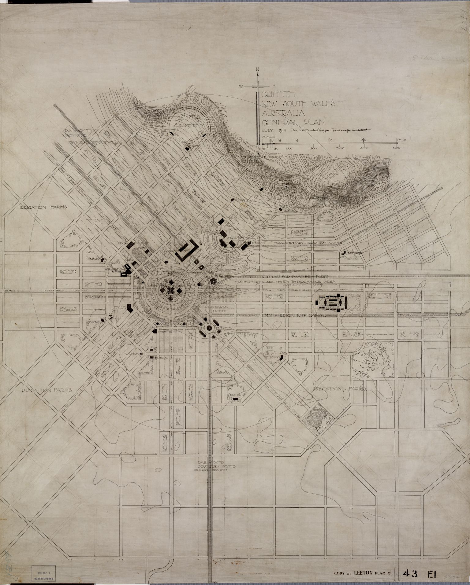
Griffith is a major regional city in the Murrumbidgee Irrigation Area that is located in the north-western part of the Riverina region of New South Wales, known commonly as the food bowl of Australia. It is also the seat of the City of Griffith local government area. Like the Australian capital, Canberra, and extensions to the nearby town of Leeton, Griffith was designed by Walter Burley Griffin and Marion Mahony Griffin. Griffith was named after Arthur Hill Griffith, the then New South Wales Secretary for Public Works. Griffith was proclaimed a city in 1987, and had a population of 20,251 Estimated resident population, 30 June 2018. in June 2018. It can be accessed by road from Sydney and Canberra via the Hume Highway and the Burley Griffin Way and from Melbourne, via the Newell Highway and either by using the Kidman Way or the Irrigation Way. Griffith can be accessed from other places like Adelaide, Orange, and Bathurst through the Mid-Western Highway and the Rankins Spri ... [...More Info...] [...Related Items...] OR: [Wikipedia] [Google] [Baidu] |
Hillston
Hillston is a township in western New South Wales, Australia, in Carrathool Shire, on the banks of the Lachlan River. It was founded in 1863 and at the had a population of 1,465. History John Oxley and his exploration party were the first European visitors to the Hillston district, in 1817. Oxley wrote in his journal: "country uninhabitable and useless for all purposes of civilised man". In 1839 William Hovell followed the Lachlan River to near the site of present-day Hillston and took up a pastoral holding called "Bellingerambil" (later named "Cowl Cowl"). Redbank The locality of present-day Hillston was a crossing-place for stock on the Lachlan River. The earliest European name for the place was 'Daisy Plains' or ‘Daisy Hill’.‘Back to Hillston Week’ (souvenir booklet), September 1931. Later it became known as "Redbank" (following the Wiradjuri name 'Melnunni', meaning "red soil"). In 1863 a stockman named William Ward Hill from nearby "Roto" station established an ... [...More Info...] [...Related Items...] OR: [Wikipedia] [Google] [Baidu] |
Easy Access Railway Stations In New South Wales
Easy may refer to: Arts and entertainment Film and television * ''Easy'' (film), a 2003 American romantic comedy film *''Easy!'', or ''Scialla!'', a 2011 Italian comedy film * ''Easy'' (TV series), a 2016–2019 American comedy-drama anthology series Music Albums * ''Easy'' (Easybeats album), 1965 * ''Easy'' (Grant Green album), 1978 * ''Easy'' (Grinspoon album), 1999 * ''Easy'' (Kelly Willis album) or the title song, 2002 * ''Easy'' (Marvin Gaye and Tammi Terrell album), 1969 * ''Easy'' (Nancy Wilson album), 1968 * ''Easy'' (Ralph McTell album), 1974 *''Easy'', by Cowboy Mouth, 2000 Songs * "Easy" (Commodores song), 1977; covered by Faith No More, 1992 * "Easy" (Camila Cabello song), 2019 * "Easy" (Cro song), 2012 * "Easy" (DaniLeigh song), 2019 * "Easy" (Dragonette song), 2010 * "Easy" (Ice MC song), 1989 * "Easy" (Mat Zo and Porter Robinson song), 2013 * "Easy" (Pale Waves song), 2021 * "Easy" (Paula DeAnda song), 2007 * "Easy" (Rascal Flatts song), featuring Natasha Bedingf ... [...More Info...] [...Related Items...] OR: [Wikipedia] [Google] [Baidu] |
Mildura
Mildura is a regional city in north-west Victoria, Australia. Located on the Victorian side of the Murray River, Mildura had a population of 34,565 in 2021. When nearby Wentworth, Irymple, Nichols Point and Merbein are included, the area had an estimated urban population of 51,903 Estimated resident population, 30 June 2018. at June 2018, having grown marginally at an average annual rate of 0.88% year-on-year over the preceding five years. It is the largest settlement in the Sunraysia region. Mildura is a major horticultural centre notable for its grape production, supplying 80% of Victoria's grapes.Mildura , ''Department of Planning and Community Development, Mildura Rural City Council'', Accessed 27 September 2007 Many wineries also source grapes from Mildura. It is very close ... [...More Info...] [...Related Items...] OR: [Wikipedia] [Google] [Baidu] |
Cootamundra Railway Station
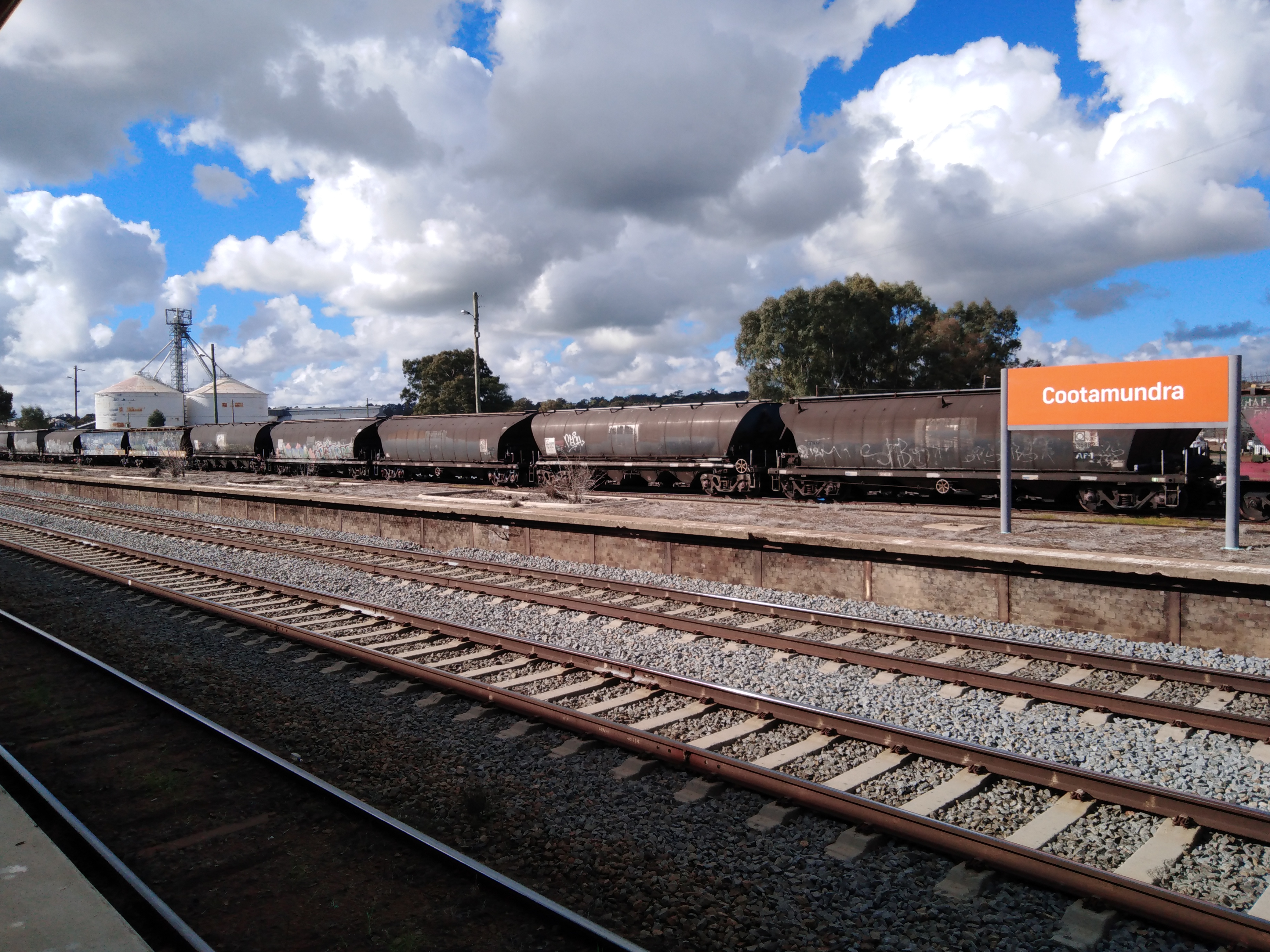
Cootamundra railway station is located on the Main South line in New South Wales, Australia. It serves the town of Cootamundra. The property was added to the New South Wales State Heritage Register on 2 April 1999. History Cootamundra station opened on 1 November 1877 when the Main South line was extended from Harden-Murrumburrah. It served as the terminus until the line was extended to Bethungra on 15 April 1878.Cootamundra Railway Precinct NSW Environment & Heritage On 1 June 1886, Cootamundra became a junction station when the Tumut & Kunama line opened as far as |
Wagga Wagga Railway Station
Wagga Wagga railway station is a railway station open for passenger services on the Main South line connecting Sydney and Melbourne. It has been heritage-listed, especially on account of its historical and architectural significance. A museum is on the premises. , two daily passenger trains in each direction served the City of Wagga Wagga. History In 1874, the Department of Public Works, Railway Branch, accepted a tender for extension of the Great Southern Railway from Goulburn to Wagga Wagga. The station opened in 1879 as "South Wagga Wagga", after the Main South line was extended from Bomen, to the north, serving as the terminus until the line was extended to Gerogery in 1880. It was renamed "Wagga Wagga" in 1882. In 1917, Wagga Wagga became a junction station when the Tumbarumba line opened as far as Humula; Tumbarumba was reached in 1921. Traffic on the branch dwindled in the late 20th century, and the last train on it ran in 1987. Features The station building, c ... [...More Info...] [...Related Items...] OR: [Wikipedia] [Google] [Baidu] |
Goulburn Railway Station
Goulburn railway station is a heritage-listed railway station on the Main South line in New South Wales, Australia. Opened on 19 May 1869, it serves the city of Goulburn. It was added to the New South Wales State Heritage Register on 2 April 1999. Goulburn Station is operated by NSW TrainLink, and has several train and coach services to destinations including Canberra, Albury, Melbourne, Griffith, Moss Vale, Campbelltown and Sydney. History The foundation stone for the main station building was laid by the Mayor of Goulburn, William Davies, on 12 May 1868. At the time, the explorer William Hovell lived immediately opposite the main station building on Sloane Street. The land on which the station buildings are sited was originally designated for public parkland. The station buildings were opened in 1869 with arrival of the railway from Sydney, which was opened by the Governor Lord Belmore (an event commemorated by Belmore Park in the centre of the city), along with the compl ... [...More Info...] [...Related Items...] OR: [Wikipedia] [Google] [Baidu] |
New South Wales Xplorer
The Xplorer is a class of diesel multiple unit trains built by ABB Transportation. Initially entering service in October 1993, the Xplorers are mechanically identical to the Endeavour Railcars, though feature a higher level of passenger amenity. All 23 carriages were built in Dandenong, Victoria. The Xplorers currently operate under NSW TrainLink, running on the regional Main North, Main Western and Main Southern lines throughout New South Wales. History Following the election of the Greiner Government in March 1988, consulting firm Booz Allen Hamilton was commissioned to prepare a report into NSW rail services. On purely economic grounds, the report recommended closing all country passenger services as they were judged unviable, however this was not politically acceptable. If services were to be maintained, the report recommended an 'all XPT' option supported by an expanded coach network. This option was taken up by the government and a new timetable introduced in Febr ... [...More Info...] [...Related Items...] OR: [Wikipedia] [Google] [Baidu] |
Yanco
Yanco is a village with a population of 505 in Leeton Shire in south western New South Wales, Australia. Yanco is a Wiradjuri aboriginal language word meaning ''the sound of running water''. Yanco is located from Leeton along Irrigation Way. Yanco is home to the Powerhouse Museum, McCaughey Park, Murrumbidgee Rural Studies Centre and Yanco Agricultural High School. Yanco North Post Office opened on 1 March 1888. It was renamed ''Yanko'' in 1892 and ''Yanco'' in 1928. Football The town has a team in the Group 20 Rugby League competition with neighbouring village Wamoon, the Yanco-Wamoon Hawks. They are renowned for winning five successive titles from 1992 to 1996, a competition record. The club briefly merged with rivals Narrandera from 2012 to 2014 as the Bidgee Hurricanes, but the sides demerged ahead of the 2015 season. They play at the Yanco Sports Ground, a picturesque oval located across the railway and irrigation channel from the town centre. The town had a defu ... [...More Info...] [...Related Items...] OR: [Wikipedia] [Google] [Baidu] |
Barellan
Barellan is a small town in Narrandera Shire in the Riverina region of New South Wales, Australia. On Census night 2021, Barellan had a population of 276. It is a quiet Riverina wheat town on the Burley Griffin Way, with characteristic silos, and functions primarily as a service centre for the surrounding agricultural area. History The name of Barellan is an Aboriginal expression which literally means the meeting of the waters. The railway reached Barellan in 1908 and a post office was opened on 1 April 1909. The Commercial Hotel, "a typically large and rather gracious hotel with an impressive upper verandah", was built in 1924. Barellan was also the first town to have a Country Women's Association (CWA) rest house, built in 1924, the same year as the hotel. In 2009, Barellan celebrated its centenary. Demography Until recently, the population numbers have remained relatively constant, evidenced as follows: Heritage listings Barellan has a number of heritage-listed s ... [...More Info...] [...Related Items...] OR: [Wikipedia] [Google] [Baidu] |
Central Railway Station, Sydney
Central is a heritage-listed railway station located in the centre of Sydney, New South Wales, Australia. The station is the largest and busiest railway station in Australia and serves as a major transport interchange for NSW TrainLink inter-city rail services, Sydney Trains commuter rail services, Sydney light rail services, bus services, and private coach transport services. The station is also known as Sydney Terminal (Platforms 1 to 12). The property was added to the New South Wales State Heritage Register on 2 April 1999. Material was copied from this source, which is available under Creative Commons Attribution 4.0 International License It recorded 85.4 million passenger movements in 2018. Central station occupies a large city block separating , and the central business district, bounded by Railway Square and Pitt Street in the west, Eddy Avenue in the north, Elizabeth Street in the east and the Devonshire Street Tunnel in the south. Parts of the station and ... [...More Info...] [...Related Items...] OR: [Wikipedia] [Google] [Baidu] |
New South Wales
) , nickname = , image_map = New South Wales in Australia.svg , map_caption = Location of New South Wales in AustraliaCoordinates: , subdivision_type = Country , subdivision_name = Australia , established_title = Before federation , established_date = Colony of New South Wales , established_title2 = Establishment , established_date2 = 26 January 1788 , established_title3 = Responsible government , established_date3 = 6 June 1856 , established_title4 = Federation , established_date4 = 1 January 1901 , named_for = Wales , demonym = , capital = Sydney , largest_city = capital , coordinates = , admin_center = 128 local government areas , admin_center_type = Administration , leader_title1 = Monarch , leader_name1 = Charles III , leader_title2 = Governor , leader_name2 = Margaret Beazley , leader_title3 = Premier , leader_name3 = Dominic Perrottet (Liberal) , national_representation = Parliament of Australia , national_representation_type1 = Senat ... [...More Info...] [...Related Items...] OR: [Wikipedia] [Google] [Baidu] |


