|
Gen. Alexander Campbell House
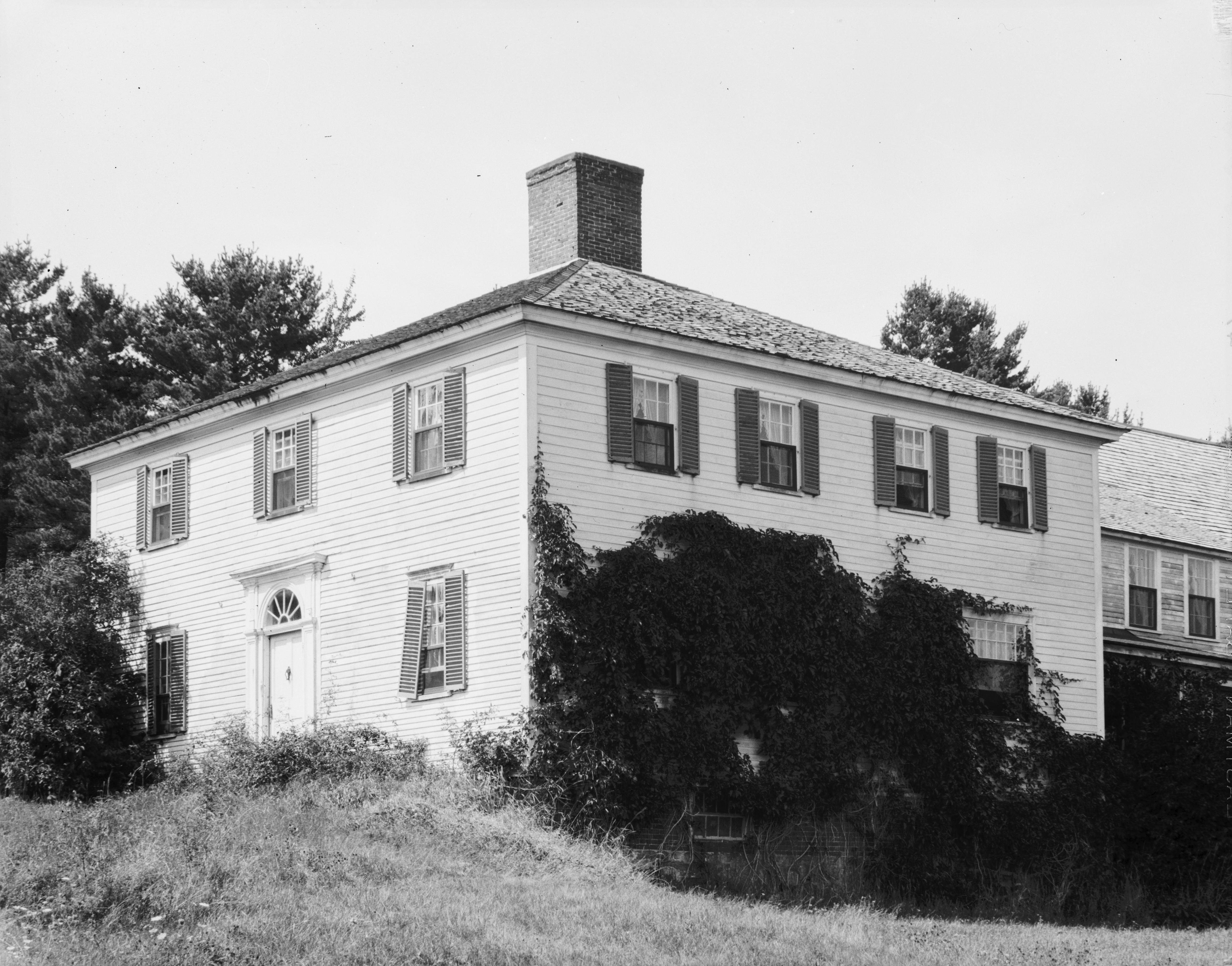
The Gen. Alexander Campbell House is a historic house on United States Route 1 in Cherryfield, Maine. Built in 1790, the originally Federal-style house underwent a number of alterations in 19th century, and now has a somewhat Victorian appearance. The house is notable for being built by Alexander Campbell, a leading figure of Down East Maine during the American Revolutionary War and the subsequent decades. The house was listed on the National Register of Historic Places in 1977, and is a contributing element of the Cherryfield Historic District. Description and history The General Alexander Campbell House is located on the north side of United States Route 1, near the eastern end of the village of Cherryfield, atop the village's highest point. It is an L-shaped two story wood-frame structure, with a hip roof, twin interior chimneys, and clapboard siding. Its main entrance is centered in the southern (street-facing) facade, framed by pilasters and a gabled pediment. It i ... [...More Info...] [...Related Items...] OR: [Wikipedia] [Google] [Baidu] |
Cherryfield, Maine
Cherryfield is a New England town, town in Washington County, Maine, Washington County, Maine, United States on the Narraguagus River. It was named for the wild Cherry, cherries that once peppered the banks of the river. The town population was 1,107 at the 2020 United States Census, 2020 census. The town bills itself as the "Blueberry Capital of the World". Roughly on both sides of the river are a historic district on the National Register of Historic Places known as the Cherryfield Historic District. This district comprises a collection of period structures dating from –1890. The town was first settled about 1760. In 1826,the part of Steuben known as Narraguagus was annexed onto Cherryfield. Geography According to the United States Census Bureau, the town has a total area of , of which, of it is land and is water. The town is home to two breeding pairs of bald eagles. Demographics 2010 census As of the census of 2010, there were 1,232 people, 570 households, and 332 famil ... [...More Info...] [...Related Items...] OR: [Wikipedia] [Google] [Baidu] |
Cherryfield Historic District
The Cherryfield Historic District encompasses the historic village center of Cherryfield, Maine, Cherryfield, Maine. This area is distinctive for its collection of high-quality 19th century architecture, which is unique in rural contexts in the state. The district was listed on the National Register of Historic Places in 1990. Overview The Cherryfield Historic District is an area of approximately lying on both sides of the Narraguagus River. The historic district comprises a collection of substantially intact residential and commercial buildings that clearly depict the nineteenth century development of a riverside community. There are 52 contributing and 10 non contributing buildings in the district. Cherryfield was approved as a historic district because of its depiction of community development and association with commerce, through its association with significant persons, and for architectural history. Although the 52 contributing buildings in the district and those ou ... [...More Info...] [...Related Items...] OR: [Wikipedia] [Google] [Baidu] |
United States Route 1
U.S. Route 1 or U.S. Highway 1 (US 1) is a major north–south United States Numbered Highway that serves the East Coast of the United States. It runs from Key West, Florida, north to Fort Kent, Maine, at the Canadian border, making it the longest north–south road in the United States. US 1 is generally paralleled by Interstate 95 (I-95), though US 1 is significantly farther west (inland) between Jacksonville, Florida, and Petersburg, Virginia, while I-95 is closer to the coastline. In contrast, US 1 in Maine is much closer to the coast than I-95, which runs farther inland than US 1. The route connects most of the major cities of the East Coast—including Miami, Jacksonville, Raleigh, Richmond, Washington, D.C., Baltimore, Philadelphia, New York City, and Boston passing from the Southeastern United States to New England. While US 1 is generally the easternmost of the main north–south U.S. Highways, parts of several others occupy corridors closer to the o ... [...More Info...] [...Related Items...] OR: [Wikipedia] [Google] [Baidu] |
American Revolutionary War
The American Revolutionary War (April 19, 1775 – September 3, 1783), also known as the Revolutionary War or American War of Independence, was a major war of the American Revolution. Widely considered as the war that secured the independence of the United States, fighting began on April 19, 1775, followed by the Lee Resolution on July 2, 1776, and the Declaration of Independence on July 4, 1776. The American Patriots were supported by the Kingdom of France and, to a lesser extent, the Dutch Republic and the Spanish Empire, in a conflict taking place in North America, the Caribbean, and the Atlantic Ocean. Established by royal charter in the 17th and 18th centuries, the American colonies were largely autonomous in domestic affairs and commercially prosperous, trading with Britain and its Caribbean colonies, as well as other European powers via their Caribbean entrepôts. After British victory over the French in the Seven Years' War in 1763, tensions between the motherland and he ... [...More Info...] [...Related Items...] OR: [Wikipedia] [Google] [Baidu] |
National Register Of Historic Places
The National Register of Historic Places (NRHP) is the United States federal government's official list of districts, sites, buildings, structures and objects deemed worthy of preservation for their historical significance or "great artistic value". A property listed in the National Register, or located within a National Register Historic District, may qualify for tax incentives derived from the total value of expenses incurred in preserving the property. The passage of the National Historic Preservation Act (NHPA) in 1966 established the National Register and the process for adding properties to it. Of the more than one and a half million properties on the National Register, 95,000 are listed individually. The remainder are contributing resources within historic districts. For most of its history, the National Register has been administered by the National Park Service (NPS), an agency within the U.S. Department of the Interior. Its goals are to help property owners and inte ... [...More Info...] [...Related Items...] OR: [Wikipedia] [Google] [Baidu] |
Georgetown, Maine
Georgetown is a town in Sagadahoc County, Maine, United States. The population was 1,058 at the 2020 census. Home to Reid State Park, the town is part of the Portland– South Portland–Biddeford, Maine Metropolitan Statistical Area. Located on an island accessible by car from the mainland, Georgetown includes the villages of Five Islands, Georgetown, Bay Point, Marrtown, West Georgetown and Robinhood. It is a popular tourist destination. History Abenaki Indians called the island Erascohegan, possibly meaning "good spear-fishing." Other interpretations of the word suggest that it meant "a watching place." John Parker, a fisherman from Bedfordshire, England, purchased it in 1649 from Chief Mowhotiwormet, commonly known as Chief Robinhood, for a hogshead of rum and some pumpkins. Parker built the first permanent homestead on what eventually became known as Parker's Island. The Kennebec River valley was attacked and burned in 1676 during King Philip's War, then again i ... [...More Info...] [...Related Items...] OR: [Wikipedia] [Google] [Baidu] |
French And Indian War
The French and Indian War (1754–1763) was a theater of the Seven Years' War, which pitted the North American colonies of the British Empire against those of the French, each side being supported by various Native American tribes. At the start of the war, the French colonies had a population of roughly 60,000 settlers, compared with 2 million in the British colonies. The outnumbered French particularly depended on their native allies. Two years into the French and Indian War, in 1756, Great Britain declared war on France, beginning the worldwide Seven Years' War. Many view the French and Indian War as being merely the American theater of this conflict; however, in the United States the French and Indian War is viewed as a singular conflict which was not associated with any European war. French Canadians call it the ('War of the Conquest').: 1756–1763 The British colonists were supported at various times by the Iroquois, Catawba, and Cherokee tribes, and the French ... [...More Info...] [...Related Items...] OR: [Wikipedia] [Google] [Baidu] |
Quebec City
Quebec City ( or ; french: Ville de Québec), officially Québec (), is the capital city of the Provinces and territories of Canada, Canadian province of Quebec. As of July 2021, the city had a population of 549,459, and the Communauté métropolitaine de Québec, metropolitan area had a population of 839,311. It is the eleventhList of the largest municipalities in Canada by population, -largest city and the seventhList of census metropolitan areas and agglomerations in Canada, -largest metropolitan area in Canada. It is also the List of towns in Quebec, second-largest city in the province after Montreal. It has a humid continental climate with warm summers coupled with cold and snowy winters. The Algonquian people had originally named the area , an Algonquin language, AlgonquinThe Algonquin language is a distinct language of the Algonquian languages, Algonquian language family, and is not a misspelling. word meaning "where the river narrows", because the Saint Lawrence River na ... [...More Info...] [...Related Items...] OR: [Wikipedia] [Google] [Baidu] |
Machias, Maine
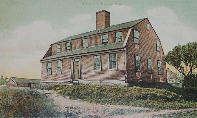
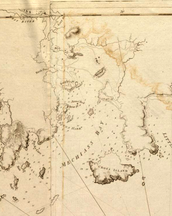
Machias is a town in and the county seat of Washington County in Down East Maine, United States. As of the 2020 census, the town population was 2,060. It is home to the University of Maine at Machias and Machias Valley Airport, a small public airport owned by the town. The word ''Machias'' roughly translates in Passamaquoddy as "bad little falls", a reference to the Machias River. Machias is best known as the site of the first naval battle of the American Revolution. History The English first became acquainted with the area in 1633, when Richard Vines established a trading post for the Plymouth Company at what is now Machiasport. Raid on Machias (1633) A fierce contest was at this time going on between France and England. Charles de la Tour, the French commander of Acadia, made a descent upon it from his seat at Port Royal, Nova Scotia, killing two of its six defenders, and carrying the others away with their merchandise. No persistent attempt was again made to hold this ... [...More Info...] [...Related Items...] OR: [Wikipedia] [Google] [Baidu] |
Battle Of Machias (1777)
The Battle of Machias (August 13–14, 1777) was an amphibious assault on the Massachusetts town of Machias (in present-day eastern Maine) by British forces during the American Revolutionary War. Local militia aided by Indian allies successfully prevented British troops from landing. The raid, led by Commodore Sir George Collier, was executed in an attempt to head off a planned second assault on Fort Cumberland, which had been besieged in November 1776. The British forces landed below Machias, seized a ship, and raided a storehouse. The result of the raid was disputed. Collier claimed the action was successful in destroying military stores for an attack on Fort Cumberland (although such stores had not been delivered to Machias), while the defenders claimed that they had successfully prevented the capture of Machias and driven off the British. Background The small community of Machias, located in the eastern district of Massachusetts that is now the state of Maine, was a pe ... [...More Info...] [...Related Items...] OR: [Wikipedia] [Google] [Baidu] |
Penobscot Expedition
The Penobscot Expedition was a 44-ship American naval armada during the Revolutionary War assembled by the Provincial Congress of the Province of Massachusetts Bay. The flotilla of 19 warships and 25 support vessels sailed from Boston on July 19, 1779 for the upper Penobscot Bay in the District of Maine carrying an expeditionary force of more than 1,000 American colonial marines (not to be confused with the Continental Marines) and militiamen. Also included was a 100-man artillery detachment under the command of Lt. Colonel Paul Revere. The expedition's goal was to reclaim control of mid-coast Maine from the British who had captured it a month earlier and renamed it New Ireland. It was the largest American naval expedition of the war. The fighting took place on land and at sea around the mouth of the Penobscot and Bagaduce rivers at Castine, Maine, over a period of three weeks in July and August. It resulted in the United States' worst naval defeat until Pearl Harbor 162 years ... [...More Info...] [...Related Items...] OR: [Wikipedia] [Google] [Baidu] |
National Register Of Historic Places Listings In Washington County, Maine
This is a list of the National Register of Historic Places listings in Washington County, Maine. This is intended to be a complete list of the properties and districts on the National Register of Historic Places in Washington County, Maine, United States. Latitude and longitude coordinates are provided for many National Register properties and districts; these locations may be seen together in a map. There are 101 properties and districts listed on the National Register in the county. Another property was once listed but has been removed. Current listings Former and moved listings See also * List of National Historic Landmarks in Maine * National Register of Historic Places listings in Maine References {{Washington County, Maine Washington Washington commonly refers to: * Washington (state), United States * Washington, D.C., the capital of the United Sta ... [...More Info...] [...Related Items...] OR: [Wikipedia] [Google] [Baidu] |


