|
Garlavoddu
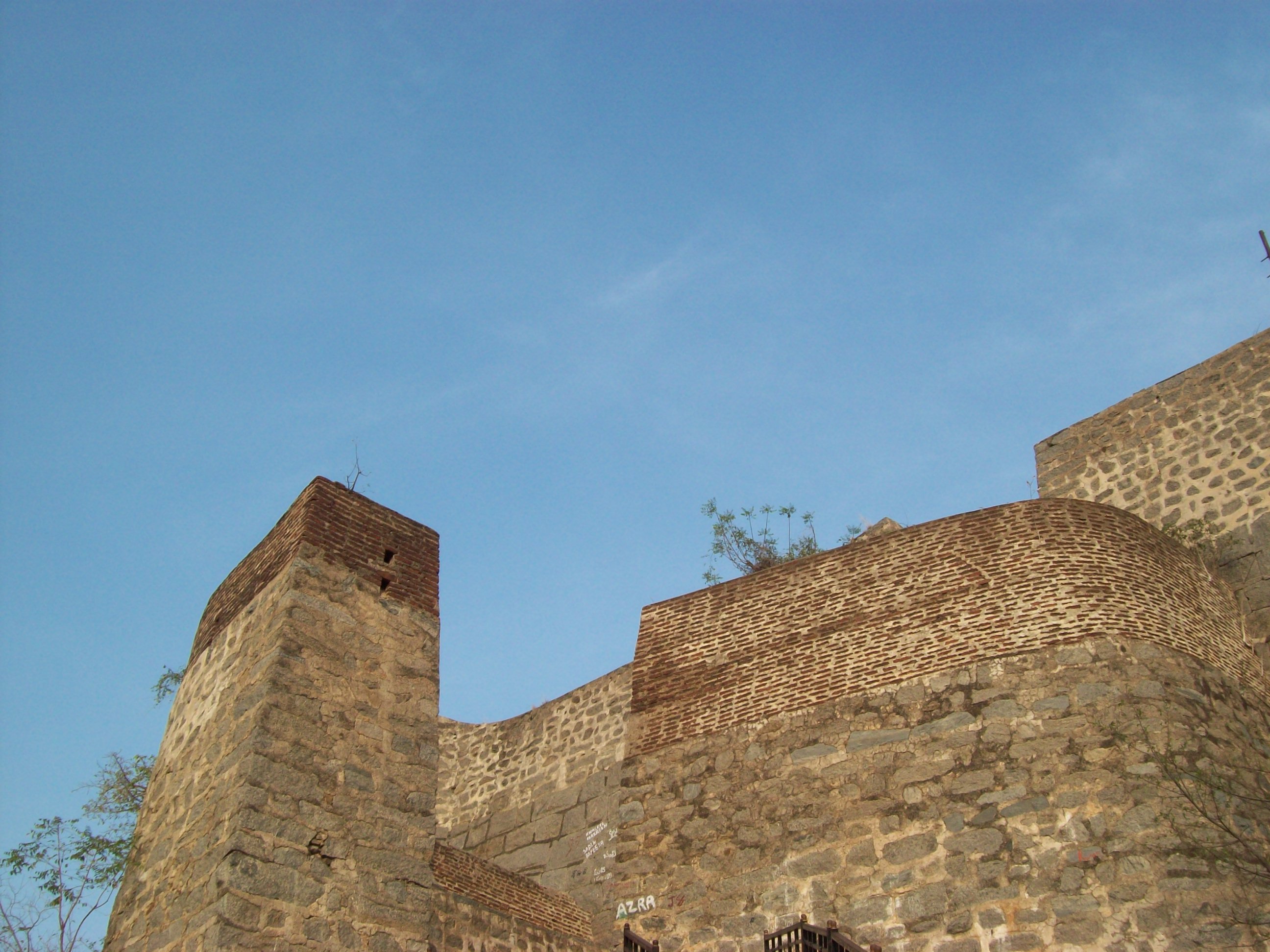
Garlavoddu is a village of Enkoor village gram panchyath and famous temple village in Khammam district, Telangana. External linksGarlavodduon WikiMapia Wikimapia is a geographic online encyclopedia project. The project implements an interactive "clickable" web map that utilizes Google Maps with a geographically-referenced wiki system, with the aim to mark and describe all geographical objects ...Sri Lakshmi Narasimhaswami temple Garlaodduon WikiMapia Villages in Khammam district {{Khammam-geo-stub ... [...More Info...] [...Related Items...] OR: [Wikipedia] [Google] [Baidu] |
Enkoor
Enkoor is a mandal in Khammam district of Telangana, India. As per 2011 Census of India, 2011 Census, it has a total population of 33,151. Enkoor consists of 42 Villages and 25 Panchayats. Medepalle is the least populous village, and Enkuru is the most populous Village. Literacy As per the 2011 Census of India, 2011 Census, 44.1% of the population in Enkoor is literate. Villages Villages in Enkoor, Andal are: * Akkinapuram Thanda * Arikayalapadu * Bhagvan naik tanda * Burda Raghavapuram * Enkuru * Garlavoddu * Himam nagar * Jannaram, Enkoor, Jannaram * Kesupally * Madineni Nagar * Medepalle * Munya thanda * Nacharam * Nukulampadu * Raimadaram * Rajulapalem * Ramathanda * Sree ramagiri * Thimmaraopeta * Thuthaka Lingampeta * Yerrabodu thanda Schools Schools in Enkoor are: * Telngana Residential School, Enkoor * High School, Enkoor References Mandals in Khammam district {{Khammam-geo-stub ... [...More Info...] [...Related Items...] OR: [Wikipedia] [Google] [Baidu] |
Khammam District
Khammam district is a district in the eastern region of the Indian state of Telangana. The city of Khammam is the district headquarters. The district shares boundaries with Suryapet, Mahabubabad, Bhadradri districts and with Eluru and NTR districts in Andhra pradesh state. History Paleolithic man probably roamed around the areas of lower Godavari valley and the surroundings of Bhadrachalam, Kothagudem, Wyra, Sathupally and Paloncha Taluks in the district. Prehistoric rock paintings were found near Neeladri konda near Lankapalli of Sathupally Taluk. Megalithic Dolmens were found at Janampet of Pinapaka Taluk. Megalithic site on the campus of Government Degree college in Khammam has yielded pottery and skeletal remains. Kistapuram and Padugonigudem villages in Gundala Taluk of the district were rich in Megalithic cultural remnants explored and discovered recently. The southern parts of Khammam district flourished as famous Buddhist centers along with Amaravathi and Vija ... [...More Info...] [...Related Items...] OR: [Wikipedia] [Google] [Baidu] |
Telangana
Telangana (; , ) is a States and union territories of India, state in India situated on the south-central stretch of the Indian subcontinent, Indian peninsula on the high Deccan Plateau. It is the List of states and union territories of India by area, eleventh-largest state and the List of states and union territories of India by population, twelfth-most populated state in India with a geographical area of and 35,193,978 residents as per 2011 Census of India, 2011 census. On 2 June 2014, the area was separated from the northwestern part of Andhra Pradesh as the newly formed States and union territories of India, state with Hyderabad as its capital. Its other major cities include Warangal, Nizamabad, Telangana, Nizamabad, Khammam, Karimnagar and Ramagundam. Telangana is bordered by the states of Maharashtra to the north, Chhattisgarh to the northeast, Karnataka to the west, and Andhra Pradesh to the east and south. The terrain of Telangana consists mostly of the Deccan Plateau wi ... [...More Info...] [...Related Items...] OR: [Wikipedia] [Google] [Baidu] |
WikiMapia
Wikimapia is a geographic online encyclopedia project. The project implements an interactive "clickable" web map that utilizes Google Maps with a geographically-referenced wiki system, with the aim to mark and describe all geographical objects in the world. Wikimapia was created by Alexandre Koriakine and Evgeniy Saveliev in May 2006. The data, a crowdsourced collection of places marked by registered users and guests, has grown to just under 28,000,000 objects , and is released under the Creative Commons license, Creative Commons License Attribution-ShareAlike (CC BY-SA). Although the project's name is reminiscent of that of Wikipedia, and the creators share parts of the "wiki" philosophy, it is not a part of the non-profit Wikimedia Foundation family of wikis. Since 2018, following years of declining popularity, the site has gone nearly inactive with the site's owners having been unable to pay for the usage of Google Maps and the site's social media accounts having remained de ... [...More Info...] [...Related Items...] OR: [Wikipedia] [Google] [Baidu] |

