|
Fulton County, Arkansas
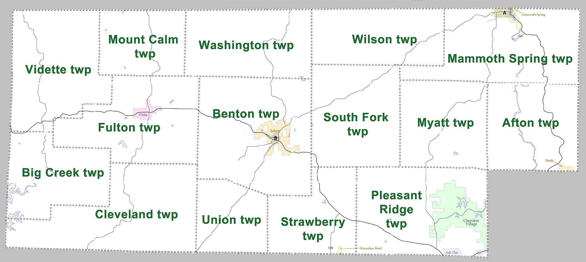
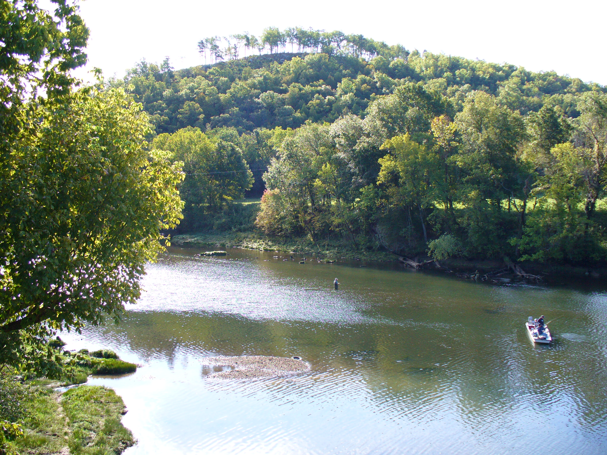
Fulton County is a county located in the U.S. state of Arkansas. As of the 2010 census, the population was 12,245. The county seat is Salem. Fulton County was formed on December 21, 1842, and named for William Fulton, the last governor of the Arkansas Territory. It is an alcohol prohibition or dry county. Geography According to the U.S. Census Bureau, the county has a total area of , of which is land and (0.3%) is water. Major highways * * * * U.S. Highway 62 Business * Highway 9 * Highway 87 * Highway 175 * Highway 223 * Highway 289 * Highway 395 Adjacent counties *Ozark County, Missouri (northwest) * Howell County, Missouri (north) * Oregon County, Missouri (northeast) * Sharp County (east) *Izard County (south) * Baxter County (west) Demographics 2020 census As of the 2020 United States census, there were 12,075 people, 4,973 households, and 3,278 families residing in the county. 2000 census As of the 2000 census, there were 11,642 people, 4,810 househo ... [...More Info...] [...Related Items...] OR: [Wikipedia] [Google] [Baidu] |
Salem, Fulton County, Arkansas
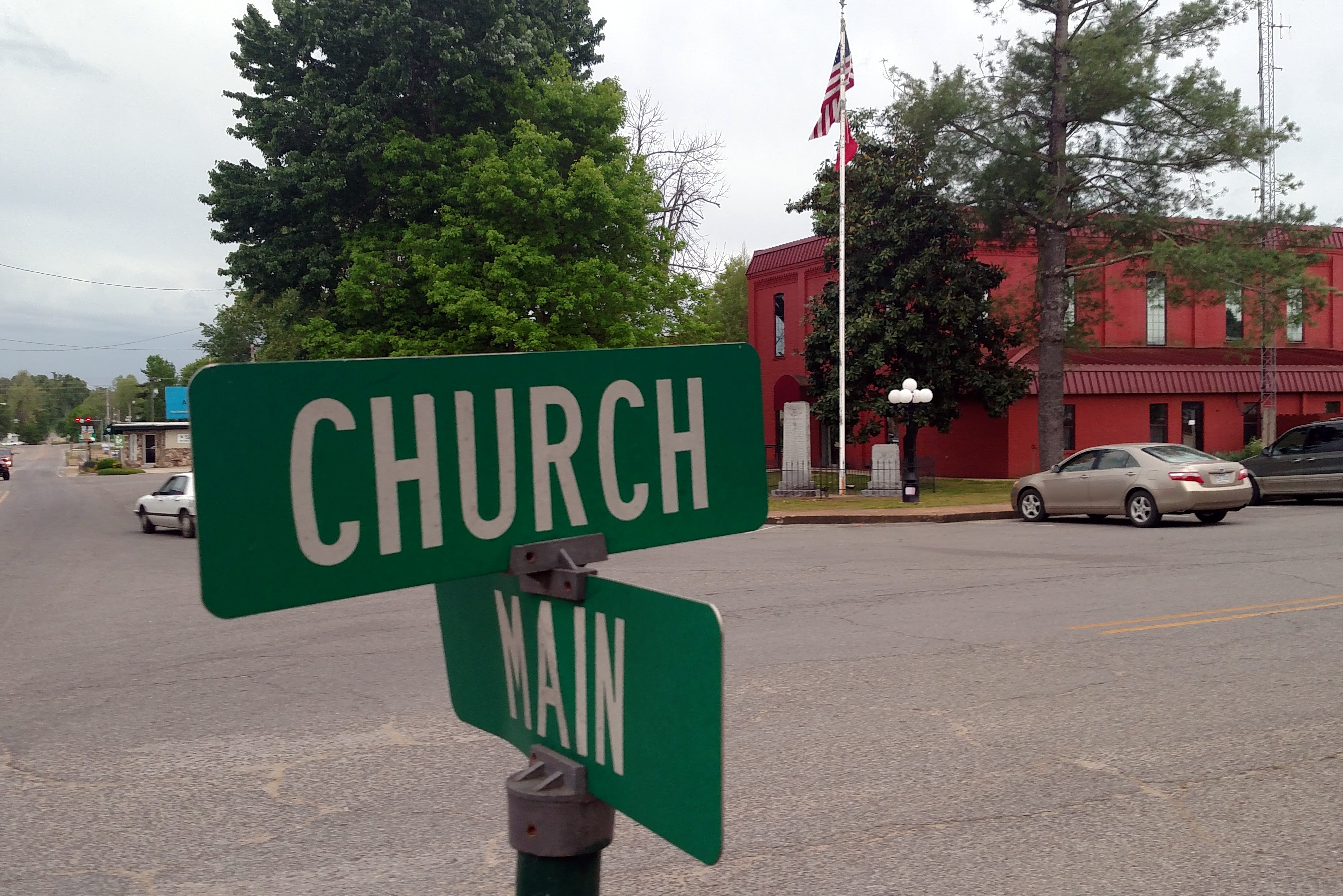
Salem is the county seat of Fulton County, Arkansas, United States. Salem was first incorporated in 1900. As of the 2010 census the population stood at 1,635. Geography Salem is located near the center of Fulton County at the intersection of US Route 62 and 412 with Arkansas Highways 9 and 395. According to the United States Census Bureau, the city has a total area of , of which , or 0.38%, is water. Climate Salem has a humid subtropical climate with mild winters and hot summers. November has the highest average precipitation, at .http://www.weather.com/weather/wxclimatology/monthly/72576 The average annual rainfall is . The average annual low temperature is 44 degrees and the average annual high is 67. Protected areas Salem City Park has a walking trail, volleyball court, picnic pavilions, children’s play area, and a lake that is stocked with fish. Preacher Roe Park is located on Highway 9 and offers a baseball/softball field and basketball court for aspiring athletes ... [...More Info...] [...Related Items...] OR: [Wikipedia] [Google] [Baidu] |
Arkansas 289
Highway 289 (AR 289, Ark. 289, and Hwy. 289) is a designation for two north–south state highways in north central Arkansas. A southern route of runs north from Highway 69B (AR 69B) at Sage to Zion. A second route of begins at Highway 56 in Franklin and runs north to Highway 9 in Mammoth Spring. Route description Sage to Zion Highway 289 begins at AR 69B in Sage approximately east of Melbourne in Izard County. The route runs north to the Caney Springs Cumberland Presbyterian Church, which is listed on the National Register of Historic Places (NRHP). Highway 289 continues northeast to Zion, where state maintenance ends and the road continues north under county maintenance. Mammoth Spring to Franklin Highway 289 begins in the northeastern corner of Izard County at Highway 56 in Franklin. The route runs north to a junction with AR 354 in Horseshoe Bend. The route continues north into Fulton County to Glencoe where it begins a concu ... [...More Info...] [...Related Items...] OR: [Wikipedia] [Google] [Baidu] |
African American (U
African Americans (also referred to as Black Americans and Afro-Americans) are an ethnic group consisting of Americans with partial or total ancestry from sub-Saharan Africa. The term "African American" generally denotes descendants of enslaved Africans who are from the United States. While some Black immigrants or their children may also come to identify as African-American, the majority of first generation immigrants do not, preferring to identify with their nation of origin. African Americans constitute the second largest racial group in the U.S. after White Americans, as well as the third largest ethnic group after Hispanic and Latino Americans. Most African Americans are descendants of enslaved people within the boundaries of the present United States. On average, African Americans are of West/ Central African with some European descent; some also have Native American and other ancestry. According to U.S. Census Bureau data, African immigrants generally do not ... [...More Info...] [...Related Items...] OR: [Wikipedia] [Google] [Baidu] |
White (U
White is the lightest color and is achromatic (having no hue). It is the color of objects such as snow, chalk, and milk, and is the opposite of black. White objects fully reflect and scatter all the visible wavelengths of light. White on television and computer screens is created by a mixture of red, blue, and green light. The color white can be given with white pigments, especially titanium dioxide. In ancient Egypt and ancient Rome, priestesses wore white as a symbol of purity, and Romans wore white togas as symbols of citizenship. In the Middle Ages and Renaissance a white unicorn symbolized chastity, and a white lamb sacrifice and purity. It was the royal color of the kings of France, and of the monarchist movement that opposed the Bolsheviks during the Russian Civil War (1917–1922). Greek and Roman temples were faced with white marble, and beginning in the 18th century, with the advent of neoclassical architecture, white became the most common color of new churches ... [...More Info...] [...Related Items...] OR: [Wikipedia] [Google] [Baidu] |
USA Fulton County, Arkansas Age Pyramid
The United States of America (U.S.A. or USA), commonly known as the United States (U.S. or US) or America, is a country primarily located in North America. It consists of 50 states, a federal district, five major unincorporated territories, nine Minor Outlying Islands, and 326 Indian reservations. The United States is also in free association with three Pacific Island sovereign states: the Federated States of Micronesia, the Marshall Islands, and the Republic of Palau. It is the world's third-largest country by both land and total area. It shares land borders with Canada to its north and with Mexico to its south and has maritime borders with the Bahamas, Cuba, Russia, and other nations. With a population of over 333 million, it is the most populous country in the Americas and the third most populous in the world. The national capital of the United States is Washington, D.C. and its most populous city and principal financial center is New York City. Paleo-Americans ... [...More Info...] [...Related Items...] OR: [Wikipedia] [Google] [Baidu] |
Baxter County, Arkansas
Baxter County is a county in the U.S. state of Arkansas. As of the 2020 census, the county's population was 41,627. The county seat is Mountain Home. It is Arkansas's 66th county, formed on March 24, 1873, and named for Elisha Baxter, the tenth governor of Arkansas. The Mountain Home, AR, Micropolitan Statistical Area includes all of Baxter County. It is in the northern part of the state, bordering Missouri. It is commonly referred to as the Twin Lakes Area because it is bordered by two of Arkansas' largest lakes, Bull Shoals Lake and Norfork Lake. On its southern border is the White River, Norfork Tailwater and the Buffalo National River. Mountain Home, a small town whose origins date back to the early 19th century, is located in north-central Arkansas on a plateau in the Ozark Mountains. The natural environment of nearby Norfork and Bull Shoals lakes and the surrounding countryside has attracted tourists from around the country for many years. Educational institutions have ... [...More Info...] [...Related Items...] OR: [Wikipedia] [Google] [Baidu] |
Izard County, Arkansas
Izard County is a county located in the U.S. state of Arkansas. As of the 2010 census, the population was 13,696. The county seat is Melbourne. Izard County is Arkansas's 13th county, formed on October 27, 1825, and named for War of 1812 General and Arkansas Territorial Governor George Izard. It is an alcohol prohibition or dry county. Geography According to the U.S. Census Bureau, the county has a total area of , of which is land and (0.6%) is water. Major highways * Arkansas Highway 5 * Arkansas Highway 9 * Arkansas Highway 56 * Arkansas Highway 58 * Arkansas Highway 69 * Arkansas Highway 69 Business * Arkansas Highway 177 * Arkansas Highway 223 * Arkansas Highway 289 * Arkansas Highway 354 Adjacent counties *Fulton County (north) * Sharp County (east) * Independence County (southeast) * Stone County (southwest) * Baxter County (northwest) Demographics 2020 census As of the 2020 United States census, there were 13,577 people, 4,851 households, and 3,124 familie ... [...More Info...] [...Related Items...] OR: [Wikipedia] [Google] [Baidu] |
Sharp County, Arkansas
Sharp County is a county located in the U.S. state of Arkansas. As of the 2010 census, the population was 17,264. The county seat is Ash Flat. The county was formed on July 18, 1868, and named for Ephraim Sharp, a state legislator from the area. Sharp County was featured on the PBS program ''Independent Lens'' for its 1906 "banishment" of all of its Black residents. A local newspaper at the time was quoted as saying that "The community is better off without them." Geography According to the U.S. Census Bureau, the county has a total area of , of which is land and (0.3%) is water. Major highways * U.S. Highway 62 * U.S. Highway 63 * U.S. Highway 167 * U.S. Highway 412 * Highway 56 * Highway 58 * Highway 175 Adjacent counties * Oregon County, Missouri (north) *Randolph County (northeast) * Lawrence County (southeast) * Independence County (south) *Izard County (southwest) *Fulton County (northwest) Demographics 2020 census As of the 2020 United States census, ther ... [...More Info...] [...Related Items...] OR: [Wikipedia] [Google] [Baidu] |
Oregon County, Missouri
Oregon County is a county located in the southern portion of the U.S. state of Missouri. As of the 2020 census, the population was 8,635. Its county seat is Alton. The county was officially organized on February 14, 1845, and was named for the Oregon Territory in the northwestern United States. Home to a large area of the Mark Twain National Forest, Oregon County contains more national forest acreage than any county in the state of Missouri. It also contains the Irish Wilderness, the largest federally protected wilderness area in the state. Hiking, backpacking, and horseback riding opportunities abound on the Ozark Trail and the White's Creek Trail. Canoeing, kayaking, jonboating, and fishing are popular on the Eleven Point River, which is Missouri's only National Wild and Scenic River. Eleven Point State Park is under development east of Alton, Missouri that includes 6 miles of Eleven Point River frontage. Grand Gulf State Park is just west of Thayer that includes a collap ... [...More Info...] [...Related Items...] OR: [Wikipedia] [Google] [Baidu] |
Howell County, Missouri
Howell County is in southern Missouri. As of the 2020 census, the population was 39,750. The largest city and county seat is West Plains. The county was officially organized on March 2, 1851, and is named after Josiah Howell, a pioneer settler in the Howell Valley. Howell County comprises the West Plains, MO, Micropolitan Statistical Area. History Howell County was organized on March 2, 1857, from Oregon County, and is named for Josiah Howell, who made the first settlement in Howell Valley. The first circuit court met in a log cabin one mile east of West Plains, according to an 1876 account. A small, wooden courthouse was built on the square in West Plains in 1859. It was damaged during the Civil War in 1862. The county was reorganized three years later, but all of the county records were destroyed in an 1866 fire. A second courthouse was built in West Plains in 1869. It was a small, three-room, frame building, about 24 by 30 feet. Geography According to the U.S. Census Bu ... [...More Info...] [...Related Items...] OR: [Wikipedia] [Google] [Baidu] |
Missouri
Missouri is a U.S. state, state in the Midwestern United States, Midwestern region of the United States. Ranking List of U.S. states and territories by area, 21st in land area, it is bordered by eight states (tied for the most with Tennessee): Iowa to the north, Illinois, Kentucky and Tennessee to the east, Arkansas to the south and Oklahoma, Kansas and Nebraska to the west. In the south are the Ozarks, a forested highland, providing timber, minerals, and recreation. The Missouri River, after which the state is named, flows through the center into the Mississippi River, which makes up the eastern border. With more than six million residents, it is the List of U.S. states and territories by population, 19th-most populous state of the country. The largest urban areas are St. Louis, Kansas City, Missouri, Kansas City, Springfield, Missouri, Springfield and Columbia, Missouri, Columbia; the Capital city, capital is Jefferson City, Missouri, Jefferson City. Humans have inhabited w ... [...More Info...] [...Related Items...] OR: [Wikipedia] [Google] [Baidu] |
Ozark County, Missouri
Ozark County is a County (United States), county located in the southern portion of the U.S. state of Missouri. As of the 2020 United States census, 2020 census, the population was 8,553. The largest city and county seat is Gainesville, Missouri, Gainesville. The county was organized as Ozark County, named after the Ozarks, Ozark Mountains, on January 29, 1841. It was renamed Decatur County, after Commodore Stephen Decatur, from 1843 to 1845, after which the name Ozark County was restored. Geography According to the U.S. Census Bureau, the county has a total area of , of which is land and (1.4%) is water. Arkansas is located to the south of Ozark County. Adjacent counties *Douglas County, Missouri, Douglas County (north) *Howell County, Missouri, Howell County (east) *Fulton County, Arkansas (southeast) *Baxter County, Arkansas (south) *Marion County, Arkansas (southwest) *Taney County, Missouri, Taney County (west) Major highways * U.S. Route 160 (Missouri), U.S. Route 160 ... [...More Info...] [...Related Items...] OR: [Wikipedia] [Google] [Baidu] |


