|
Fındıklı, Gönen
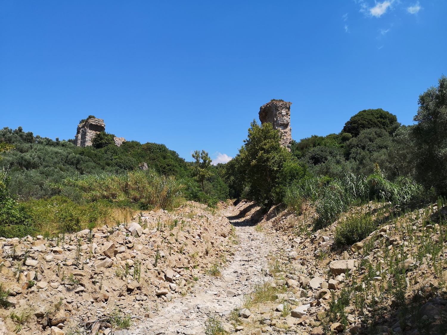
Fındıklı is a neighbourhood in the municipality and district of Gönen, Balıkesir Province in Turkey. Its population is 366 (2022). Climate Climate is the long-term weather pattern in a region, typically averaged over 30 years. More rigorously, it is the mean and variability of meteorological variables over a time spanning from months to millions of years. Some of the meteoro ... It is famous for its Black Sea-like nature and has one of the coldest climates in Gönen district. This village is heavily forested and its climate is similar to the Rainforest type in the north (with colder winters and drier summers). It is one of the first places where it snows in Gönen district. References Neighbourhoods in Gönen District, Balıkesir {{Balıkesir-geo-stub ... [...More Info...] [...Related Items...] OR: [Wikipedia] [Google] [Baidu] |
Gönen
Gönen is a municipality and Districts of Turkey, district of Balıkesir Province, Turkey. Its area is 1,162 km2, and its population is 74,871 (2022). It lies on the southern part of Marmara Sea. The town is mostly known for its therapeutic hot springs, leather processing and rice production. Location The town is surrounded by Bandırma in the northeast, Biga, Çanakkale, Biga and Yenice, Çanakkale, Yenice in the west, Marmara Sea and Erdek, Gulf of Erdek and Balya in the south. Elevation is above sea level.Green Gönen Names and etymology The oldest known name of the town is Asepsus (Ασεψούς in Ancient greek). This was also the name of the brook, that flows next to the city center and was crossed by the Ancient Rome, Roman Aesepus Bridge. Research shows that the subsequent name was Artemea (Αρτεμέα), a derivation of the Greek mythology, Greek goddess Artemis. After the Ottoman Empire, Ottoman conquest the name Gönen was used. The etymology, etymological sou ... [...More Info...] [...Related Items...] OR: [Wikipedia] [Google] [Baidu] |
Balıkesir Province
Balıkesir Province () is a Provinces of Turkey, province and Metropolitan municipalities in Turkey, metropolitan municipality in northwestern Turkey with coastlines on both the Sea of Marmara and the Aegean Sea, Aegean. Its area is 14,583 km2, and its population is 1,257,590 (2022). Its adjacent provinces are Çanakkale Province, Çanakkale to the west, İzmir Province, İzmir to the southwest, Manisa Province, Manisa to the south, Kütahya Province, Kütahya to the southeast, and Bursa Province, Bursa to the east. The provincial capital is Balıkesir. Most of the province lies in the Marmara Region, Turkey, Marmara Region except the southern parts of Bigadiç Edremit, Kepsut, İvrindi, Savaştepe and Sındırgı districts and ones of Ayvalık, Burhaniye, Dursunbey, Gömeç and Havran, that bound the Aegean Region. Kaz Dağı (pronounced ), known also as Mount Ida, is located in this province. Balıkesir province is famous for its olives, Hot spring, thermal spas, and clean be ... [...More Info...] [...Related Items...] OR: [Wikipedia] [Google] [Baidu] |
TÜİK
Turkish Statistical Institute (commonly known as TurkStat; or TÜİK) is the Turkish government agency commissioned with producing official statistics on Turkey, its population, resources, economy, society, and culture. It was founded in 1926 and headquartered in Ankara. Formerly named as the State Institute of Statistics (Devlet İstatistik Enstitüsü (DİE)), the institute was renamed as the Turkish Statistical Institute on November 18, 2005. See also * List of Turkish provinces by life expectancy References External linksOfficial website of the institute National statistical services Statistical Organizations established in 1926 Organizations based in Ankara {{Sci-org-stub ... [...More Info...] [...Related Items...] OR: [Wikipedia] [Google] [Baidu] |
Climate
Climate is the long-term weather pattern in a region, typically averaged over 30 years. More rigorously, it is the mean and variability of meteorological variables over a time spanning from months to millions of years. Some of the meteorological variables that are commonly measured are temperature, humidity, atmospheric pressure, wind, and precipitation. In a broader sense, climate is the state of the components of the climate system, including the atmosphere, hydrosphere, cryosphere, lithosphere and biosphere and the interactions between them. The climate of a location is affected by its latitude, longitude, terrain, altitude, land use and nearby water bodies and their currents. Climates can be classified according to the average and typical variables, most commonly temperature and precipitation. The most widely used classification scheme is the Köppen climate classification. The Thornthwaite system, in use since 1948, incorporates evapotranspiration along ... [...More Info...] [...Related Items...] OR: [Wikipedia] [Google] [Baidu] |
