|
Freeland, Prince Edward Island
Freeland is a Canadian rural community in Prince County, Prince Edward Island Prince Edward Island (PEI; ) is one of the thirteen Provinces and territories of Canada, provinces and territories of Canada. It is the smallest province in terms of land area and population, but the most densely populated. The island has seve .... It is located in the township of Lot 11, north of Ellerslie. External links Government of PEI profile Communities in Prince County, Prince Edward Island {{PEI-geo-stub ... [...More Info...] [...Related Items...] OR: [Wikipedia] [Google] [Baidu] |
Prince Edward Island
Prince Edward Island (PEI; ) is one of the thirteen provinces and territories of Canada. It is the smallest province in terms of land area and population, but the most densely populated. The island has several nicknames: "Garden of the Gulf", "Birthplace of Confederation" and "Cradle of Confederation". Its capital and largest city is Charlottetown. It is one of the three Maritime provinces and one of the four Atlantic provinces. Part of the traditional lands of the Miꞌkmaq, it was colonized by the French in 1604 as part of the colony of Acadia. The island was ceded to the British at the conclusion of the French and Indian War in 1763 and became part of the colony of Nova Scotia, and in 1769 the island became its own British colony. Prince Edward Island hosted the Charlottetown Conference in 1864 to discuss a union of the Maritime provinces; however, the conference became the first in a series of meetings which led to Canadian Confederation in 1867. Prince Edward Island ... [...More Info...] [...Related Items...] OR: [Wikipedia] [Google] [Baidu] |
Prince County, Prince Edward Island
Prince County is located in western Prince Edward Island, Canada. The county's defining geographic feature is Malpeque Bay, a sub-basin of the Gulf of St. Lawrence, which creates the narrowest portion of Prince Edward Island's landmass, an isthmus upon which the city of Summerside is located. The geographic division created by Malpeque Bay is informally augmented by a socio-economic division between the more urban East Prince and rural West Prince, although the line of division generally varies. Much of Prince Edward Island's industrial base is concentrated in the eastern part of the county, with three large frozen French fry manufacturing plants, a potato chip manufacturing plant, and an aerospace industry located at a former air force base. Industrial farming for root crops such as potatoes accounts for the majority of rural economic activity, followed by fishing for shellfish such as lobster and crab. The county was named by Capt. Samuel Holland in 1765 for George, Prin ... [...More Info...] [...Related Items...] OR: [Wikipedia] [Google] [Baidu] |
Lot 11, Prince Edward Island
Lot 11 is a township in Prince County, Prince Edward Island, Canada. It is part of Halifax Parish. Following the Seven Years' War, Lot 11 was awarded in the land lottery of 1767 to Colonel Hunt Walsh, the commanding officer of 28th Regiment of Foot at the capture of Louisbourg and the Battle of the Plains of Abraham. While ownership remained with the heirs of Colonel Walsh, portions of the lot were leased to settlers under sequential administration by land agents James Bardin Palmer, John Large and James Warburton. In 1856, the Walsh heirs sold the lot to the colonial government for resale to leaseholders in accordance with the Land Purchase Act of 1853.O'Grady, pp.35&104 Communities Incorporated municipalities: * Lady Slipper * Lot 11 and Area (does not contain the entire township) Civic address communities: * Conway * Foxley River * Freeland * Inverness * McNeills Mills * Murray Road * Poplar Grove * Portage Portage or portaging (Canada: ; ) is the practice of c ... [...More Info...] [...Related Items...] OR: [Wikipedia] [Google] [Baidu] |
Ellerslie, Prince Edward Island
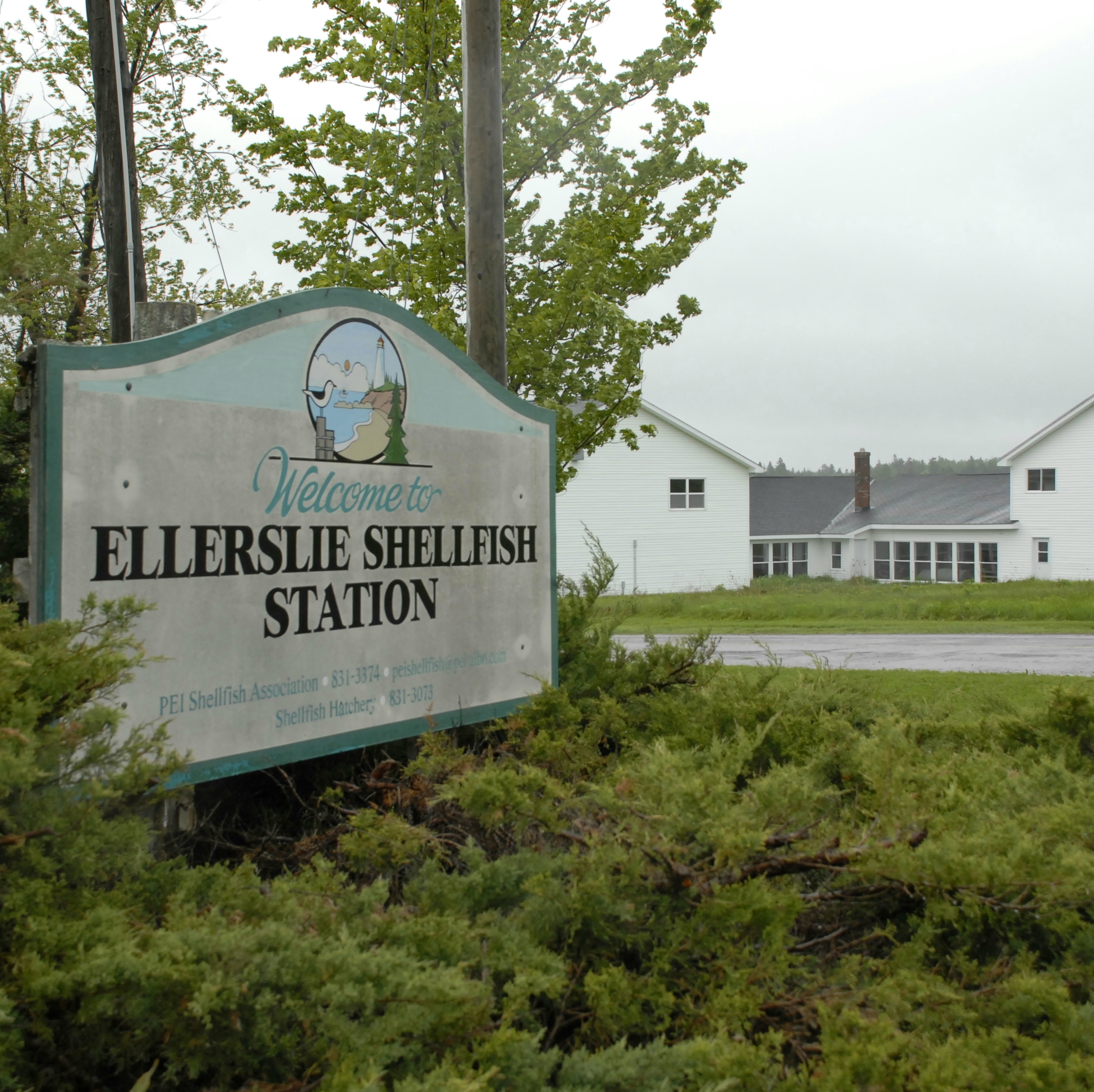
Ellerslie-Bideford was a municipality that held community status in Prince Edward Island, Canada. It was located in Prince County on Lot 12. Most residents of Ellerslie-Bideford lived on Ellerslie Road ( Route 133) which spans 5 miles from Route 2 to Route 12. History The community was incorporated by provincial government in 1977, when Ellerslie merged with Bideford. Ellerslie was founded in 1853 by a local carpenter, being named after Ellerslie, Scotland. Bideford was named in 1818 after Bideford, Devon, England. Ellerslie is currently one of the last communities in the West Prince district of Prince Edward Island prior to the border with East Prince. The community had a rich history in the fox farming and ship building industries. The Bideford Shipyard launched several sea vessels, including the last one to be christened there, the Meteor. Bideford is also home to a Shellfish Museum; as the fishery is the basis of the local economy. Over the past several years, the Commu ... [...More Info...] [...Related Items...] OR: [Wikipedia] [Google] [Baidu] |

