|
Flag Of Brazil
The national flag of Brazil ( pt, bandeira do Brasil), is a blue disc depicting a starry sky (which includes the Southern Cross) spanned by a curved band inscribed with the national motto "''Ordem e Progresso''" ("Order and Progress"), within a yellow rhombus, on a green field. It was officially adopted on 19 November 1889 — four days after the Proclamation of the Republic, to replace the flag of the Empire of Brazil. The concept was the work of Raimundo Teixeira Mendes, with the collaboration of Miguel Lemos, Manuel Pereira Reis and Décio Villares. The green field and yellow rhombus from the previous imperial flag were preserved (though slightly modified in hue and shape). In the imperial flag, the green represented the House of Braganza of Pedro I, the first Emperor of Brazil, while the yellow represented the House of Habsburg of his wife, Empress Maria Leopoldina. [...More Info...] [...Related Items...] OR: [Wikipedia] [Google] [Baidu] |
Raimundo Teixeira Mendes
Raimundo Teixeira Mendes (5 January 1855 – 28 June 1927) was a Brazilian philosopher and mathematician. He is credited with creating the national motto, "Order and Progress", as well as the national flag on which it appears. Teixeira Mendes was born in Caxias, Maranhão. Comtean Positivism Teixeira Mendes was heavily influenced by Comtism and is classed as a "Humanity Apostle" by Brazil's Religion of Humanity, which is called "Igreja Positivista do Brasil" or in English "Positivist Church of Brazil." In life he led the Positivist Church after 1903. For him the Positivist viewpoint meant he opposed most wars and believed in the eventual disappearance of nations. He also opposed Christian missionary work toward the indigenous Brazilians and instead favored a policy based on protection and gradual assimilation. He deemed their societies "fetishistic", but believed a gradual non-coercive assimilation was the way to turn them into Positivists. He died in Rio de Janeiro ... [...More Info...] [...Related Items...] OR: [Wikipedia] [Google] [Baidu] |
Coat Of Arms Of Brazil
The coat of arms of Brazil ( pt, Brasão de Armas do Brasil) was created on 19 November 1889, four days after Brazil became a republic. It consists of the central emblem surrounded by coffee ('' Coffea arabica'', at the left) and tobacco (''Nicotiana tabacum'', at the right) branches, which were important crops in Brazil at that time. In the round shield in the center, the Southern Cross (''Cruzeiro do Sul'') can be seen. The ring of 27 stars around it represents Brazil's 26 states and the Federal District. The blue ribbon contains the official name of Brazil, República Federativa do Brasil — Federative Republic of Brazil, in its first line. Prior to 1964, this line contained the previous official name, Estados Unidos do Brasil — United States of Brazil. In the second line, the date of the proclamation of the Republic (15 November 1889) is written. National arms The National Arms of the Republic were instituted by Decree No. 4, with alteration made by Law No. 5443 of 28 ... [...More Info...] [...Related Items...] OR: [Wikipedia] [Google] [Baidu] |
Royal Standard
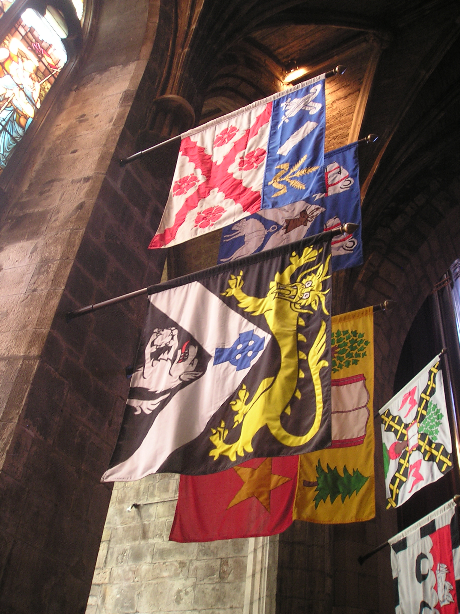
In heraldry and vexillology, a heraldic flag is a flag containing coats of arms, heraldic badges, or other devices used for personal identification. Heraldic flags include banners, standards, pennons and their variants, gonfalons, guidons, and pinsels. Specifications governing heraldic flags vary from country to country, and have varied over time. Types Pennon The pennon is a small elongated flag, either pointed or swallow-tailed (when swallow-tailed it may be described as a banderole). It was charged with the heraldic badge or some other armorial ensign of the owner, and displayed on his own lance, as a personal ensign. The ''pennoncelle'' was a modification of the pennon. In contemporary Scots usage, the pennon is 120 cm (four feet) in length. It tapers either to a point or to a rounded end as the owner chooses. It is assigned by the Lord Lyon King of Arms to any armiger who wishes to apply for it. Banner The banner of arms (also simply called ''banner'') is squar ... [...More Info...] [...Related Items...] OR: [Wikipedia] [Google] [Baidu] |
Jean-Baptiste Debret
Jean-Baptiste Debret (; 18 April 1768 – 28 June 1848) was a French painter, who produced many valuable lithographs depicting the people of Brazil. Debret won the second prize at the 1798 Salon des Beaux Arts. Biography Debret studied at the French Academy of Fine Arts, a pupil of the great Jacques-Louis David (1748–1825) to whom he was related. He accompanied David to Rome in the 1780s. His debut was at the Salon des Beaux Arts of 1798, where he got the second prize. He travelled to Brazil in March 1816 as a member of the so-called French Artistic Mission, a group of bonapartist French artists and artisans bound to creating an arts and crafts lyceum in Rio de Janeiro (Escola Real de Artes e Ofícios) under the auspices of King D. João VI and the Count of Barca. The lyceum later became the Academia Imperial de Belas Artes (Imperial Academy of Fine Arts) under Emperor Dom Pedro I. As a painter favored first by the Portuguese court in exile and later by the imperia ... [...More Info...] [...Related Items...] OR: [Wikipedia] [Google] [Baidu] |
Kingdom Of Brazil
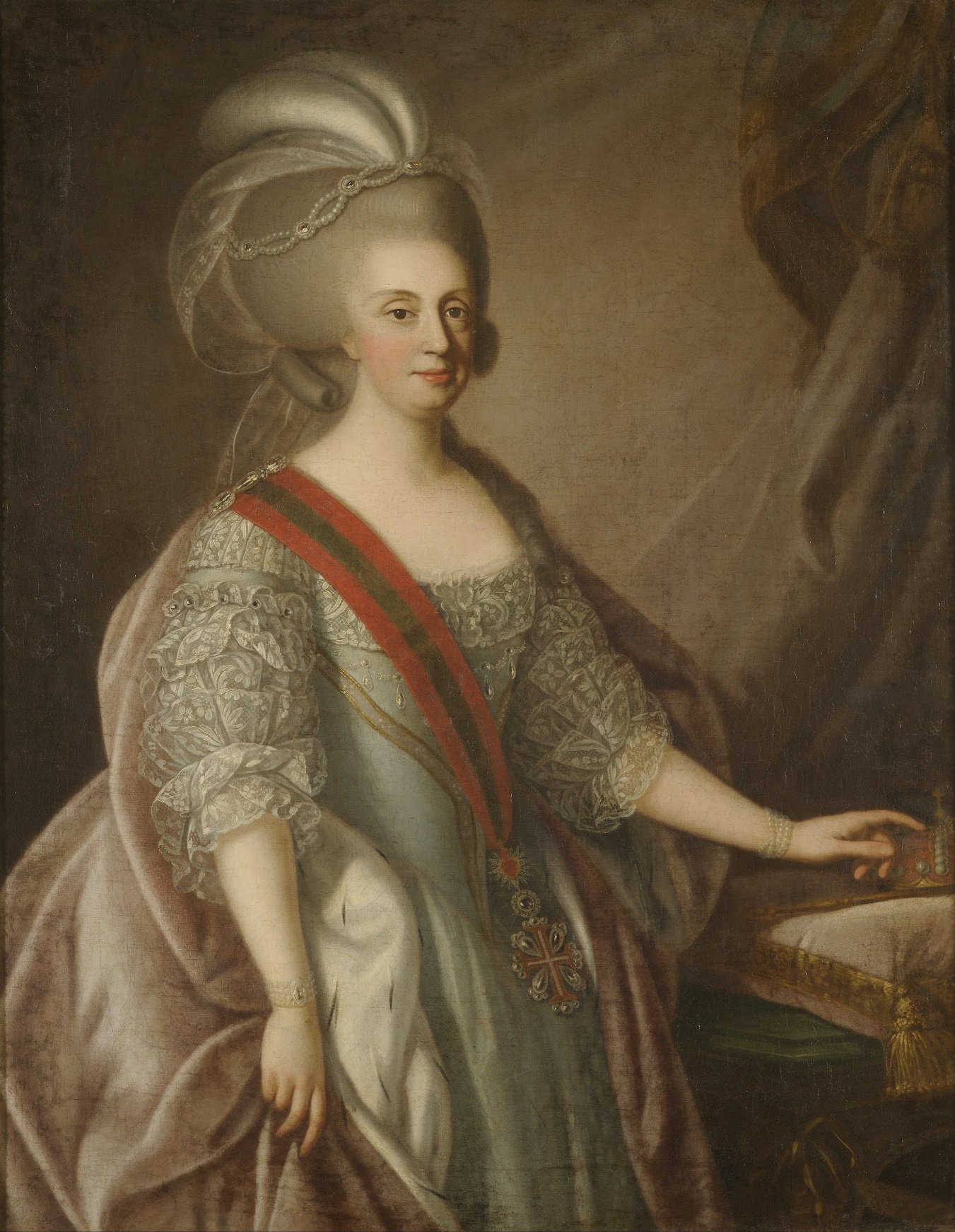
The Kingdom of Brazil ( pt, Reino do Brasil) was a constituent kingdom of the United Kingdom of Portugal, Brazil, and the Algarves. Creation The legal entity of the Kingdom of Brazil was created by a law issued by Prince Regent John of Portugal, Prince of Brazil, Duke of Braganza, in name of his mother, Queen Maria I of Portugal, on 16 December 1815, which elevated the State of Brazil to the rank of a Kingdom within the United Kingdom of Portugal, Brazil, and the Algarves. By a decree issued on 22 April 1821 ahead of his departure from Brazil to Portugal, King John VI appointed his firstborn son and heir, Prince Pedro of Braganza, the Prince Royal of the United Kingdom, as Prince Regent of the Kingdom of Brazil, with delegated powers to discharge the "general government and entire administration of the Kingdom of Brazil" as the King's placeholder, thus granting the Kingdom of Brazil a devolved administration within the United Kingdom. Dissolution On 7 September 1822, Pri ... [...More Info...] [...Related Items...] OR: [Wikipedia] [Google] [Baidu] |
Tocantins
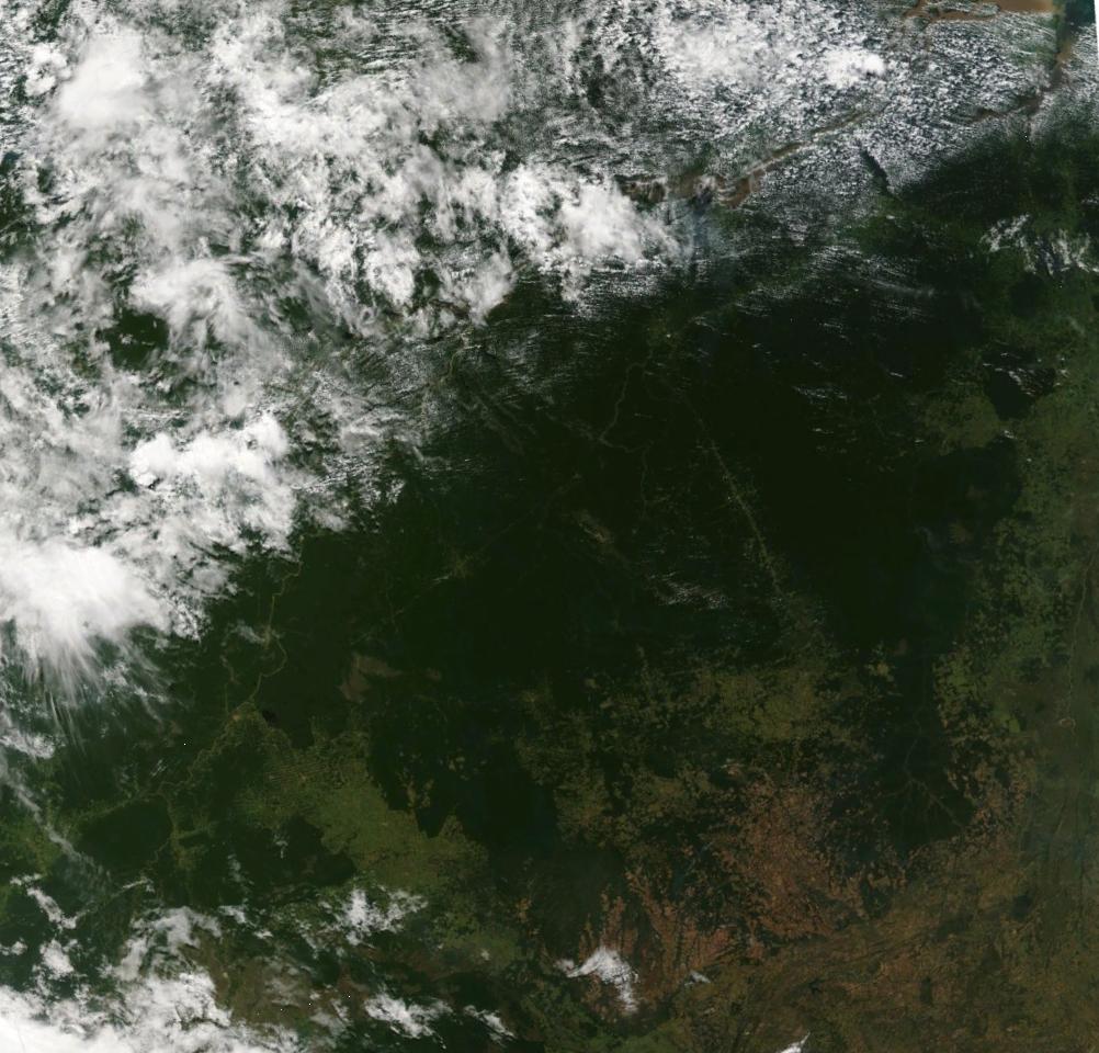
Tocantins () is one of the 26 states of Brazil. It is the newest state, formed in 1988 and encompassing what had formerly been the northern two-fifths of the state of Goiás. Tocantins covers and had an estimated population of 1,496,880 in 2014. Construction of its capital, Palmas, began in 1989; most of the other cities in the state date to the Portuguese colonial period. With the exception of Araguaína, there are few other cities with a significant population in the state. The government has invested in a new capital, a major hydropower dam, railroads and related infrastructure to develop this primarily agricultural area. The state has 0.75% of the Brazilian population and is responsible for 0.5% of the Brazilian GDP. Tocantins has attracted hundreds of thousands of new residents, primarily to Palmas. It is building on its hydropower resources. The Araguaia and Tocantins rivers drain the largest watershed that lies entirely inside Brazilian territory. The Rio Tocantins ... [...More Info...] [...Related Items...] OR: [Wikipedia] [Google] [Baidu] |
Rondônia
Rondônia () is one of the 26 states of Brazil, located in the northern subdivision of the country (central-western part). To the west is a short border with the state of Acre, to the north is the state of Amazonas, in the east is Mato Grosso, and in the south and southwest is Bolivia. Rondônia has a population of 1,815,000 as of 2021. It is the fifth least populated state. Its capital and largest city is Porto Velho. The state was named after Cândido Rondon, who explored the north of the country during the 1910s. The state, which is home to 0.8% of the Brazilian population, is responsible for 0.6% of the Brazilian GDP. Geography Rondonia was originally home to over 200,000 km2 of rainforest, but has become one of the most deforested places in the Amazon. By 2003 around 70,000 km2 of rainforest had been cleared. The area around the Guaporé River is part of the Beni savanna ecoregion. The Samuel Dam is located in the state, on the Jamari River. History Dem ... [...More Info...] [...Related Items...] OR: [Wikipedia] [Google] [Baidu] |
Roraima
Roraima (, ) is one of the 26 states of Brazil. Located in the country's North Region, it is the northernmost and most geographically and logistically isolated state in Brazil. It is bordered by the state of Pará to the southeast, Amazonas to the south and west, Venezuela to the north and northwest, and Guyana to the east. The state covers an area of approximately , slightly larger than Belarus, being the fourteenth largest Brazilian state by area. The city of Boa Vista is the capital and largest city in the state, and is the only capital in the country located entirely in the Northern Hemisphere. Antônio Denarium, a member of the conservative Progressistas party, has been the governor of the state since 2019. Roraima is the least populous state in Brazil, with an estimated population of 631,181 inhabitants as of 2020. It is also the state with the lowest population density in Brazil, with 2.01 inhabitants per square kilometre. Its economy, based mainly on the tertia ... [...More Info...] [...Related Items...] OR: [Wikipedia] [Google] [Baidu] |
Amapá
Amapá () is one of the 26 states of Brazil. It is in the northern region of Brazil. It is the second least populous state and the eighteenth largest by area. Located in the far northern part of the country, Amapá is bordered clockwise by French Guiana to the north, the Atlantic Ocean to the east, Pará to the south and west, and Suriname to the northwest. The capital and largest city is Macapá. The state has 0.4% of the Brazilian population and is responsible for only 0.22% of the Brazilian GDP. In the colonial period the region was called Portuguese Guiana and was part of Portuguese Empire, Portugal's State of Brazil. Later, the region was distinguished from the other The Guianas, Guianas. Amapá was once part of Pará, but became a separate territory in 1943, and a state in 1990. The dominant feature of the region, and 90 percent of its total area, is the Amazon Rainforest. Unexplored forests occupy 70 percent of Amapá, and Tumucumaque Mountains National Park, establish ... [...More Info...] [...Related Items...] OR: [Wikipedia] [Google] [Baidu] |
Acre (state)
Acre () is a state located in the west of the North Region of Brazil and the Amazonia Legal. Located in the westernmost part of the country, at a two-hour time difference from Brasília, Acre is bordered clockwise by the Brazilian states of Amazonas and Rondônia to the north and east, the Bolivian department of Pando to the southeast, and the Peruvian regions of Madre de Dios, Ucayali and Loreto to the south and west. The state, which has 0.42% of the Brazilian population, generates 0.2% of the Brazilian GDP. Its capital and largest city is Rio Branco. Other important places include Cruzeiro do Sul, Sena Madureira, Tarauacá and Feijó. Intense extractive activity in the rubber industry, which reached its height in the early 20th century, attracted Brazilians from many regions to the state. From the mixture of sulista, southeastern Brazil, nordestino, and indigenous traditions arose a diverse cuisine. It combines sun-dried meat (carne-de-sol) with pirarucu, a typic ... [...More Info...] [...Related Items...] OR: [Wikipedia] [Google] [Baidu] |
Guanabara (state)
The State of Guanabara ( pt, Estado da Guanabara, ) was a state within the Fourth Brazilian Republic from 1960 to 1964, and the Federative Republic of Brazil from 1964 to 1975. It included the city of Rio de Janeiro. The state was established in 1960, replacing the Federal District of Brazil, and existed until 1975, when it was merged with the old State of Rio de Janeiro to create a juridically new state also named State of Rio de Janeiro. Upon the merger of states, the territory of the former State of Guanabara became the municipality of Rio de Janeiro. Etymology The State of Guanabara shares its name with Guanabara Bay, which lies to the east of the state. There are many theories as to the name's origins, including ''hidden water'', ''lagoon of the sea'', and ''bosom of the sea''. History In 1834, the city of Rio de Janeiro was elevated to Imperial capital of the Empire of Brazil, and was included in the Neutral Municipality ( pt, Município Neutro). The surrounding Province ... [...More Info...] [...Related Items...] OR: [Wikipedia] [Google] [Baidu] |
States Of Brazil
The federative units of Brazil ( pt, unidades federativas do Brasil) are subnational entities with a certain degree of autonomy (self-government, self-regulation and self-collection) and endowed with their own government and constitution, which together form the Federative Republic of Brazil. There are 26 states (') and one federal district ('). The states are generally based on historical, conventional borders which have developed over time. The states are divided into municipalities A municipality is usually a single administrative division having corporate status and powers of self-government or jurisdiction as granted by national and regional laws to which it is subordinate. The term ''municipality'' may also mean the go ..., while the Federal District (Brazil), Federal District assumes the competences of both a state and a municipality. Government The government of each state of Brazil is divided into executive branch, executive, legislative branch, legislative and jud ... [...More Info...] [...Related Items...] OR: [Wikipedia] [Google] [Baidu] |
.jpg)


