|
Epping Road, Melbourne
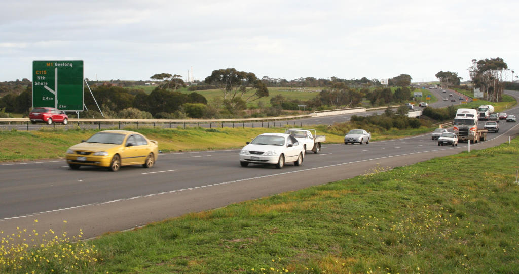
Epping Road is an arterial road through the northern fringes of Melbourne, linking the outer northern suburb of to the outer northern fringe at . Major intersections References External links Roads in Victoria (state) Streets in Melbourne Transport in the City of Whittlesea {{Australia-road-stub ... [...More Info...] [...Related Items...] OR: [Wikipedia] [Google] [Baidu] |
Woodstock, Victoria
Woodstock is a bounded semi-rural locality in Victoria, Australia, located just north of Melbourne's outer suburbs, located within the City of Whittlesea local government area. Woodstock recorded a population of 150 at the . Australian contemporary poet Robbie Coburn hails from Woodstock. Former Western Australian premier Philip Collier was born and raised in Woodstock. Writer/ Director Billy Rowlands is also from Woodstock. History Woodstock Post Office opened on 9 January 1858 and closed in 1971. To the west Woodstock West Post office opened in 1877 and continued operating until 1959. In September 1876 a small timber Catholic church, known as the church of St. Patrick, was erected for local worshippers. Deputations were made to the Victorian government during the 1890s to bring a railway line through the area. It was decided that the Sydney-Melbourne rail corridor would run to the west, parallel with the Hume Highway, and so the closest railway station is at Donnybrook ... [...More Info...] [...Related Items...] OR: [Wikipedia] [Google] [Baidu] |
Epping, Victoria
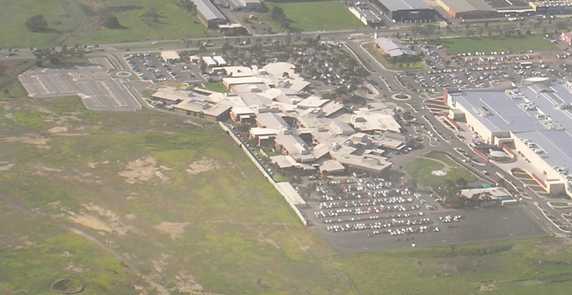
Epping is a suburb in Melbourne, Victoria, Australia, north of Melbourne's Central Business District, located within the City of Whittlesea local government area. Epping recorded a population of 33,489 at the 2021 census. Boundaries and terrain Epping is bounded by Mill Park and Lalor to the south, Somerton to the west, South Morang to the east and Wollert to the north. Epping has a mainly flat terrain though, towards the north, lie several large hills, which provide an excellent view of Melbourne. McDonalds Road and High Street are the main thoroughfares. The majority of commercial activity is located on High Street and Cooper Street, where Pacific Epping is located. History A village reserve was surveyed in 1839, where Epping later developed. The village was named Epping, after Epping Forest, in 1853, by which time a hotel (from 1844) and a Catholic school were established. Epping Post Office opened on 1 September 1857. The Epping Road Board was established a year la ... [...More Info...] [...Related Items...] OR: [Wikipedia] [Google] [Baidu] |
Donnybrook Road, Melbourne
Donnybrook Road is an arterial road through the northern fringes of Melbourne, Australia, linking the outer northern suburb of to the outer northern fringe at , travelling through the suburbs of and . History In 1876, a single-laned stone bridge was built over Kalkallo Creek at Donnybrook. On 11 November 2008, the grade-separated interchange with Hume Freeway at Kalkallo opened to traffic, replacing the former at-grade intersection In mathematics, the intersection of two or more objects is another object consisting of everything that is contained in all of the objects simultaneously. For example, in Euclidean geometry, when two lines in a plane are not parallel, their i .... Works also included a new bridge over Kalkallo Creek, replacing the stone bridge from 1876. Major intersections References Roads in Victoria (state) Streets in Melbourne Transport in the City of Hume Transport in the City of Whittlesea {{Australia-road-stub ... [...More Info...] [...Related Items...] OR: [Wikipedia] [Google] [Baidu] |
Craigieburn Road, Melbourne
Craigieburn Road (inclusive of the sections known as Potter Street, Walters Street and Craigieburn Road East) is an arterial road located in the northern suburbs of Melbourne. Route Craigieburn Road is usually considered divided into two sections, with Sydney Road being the divider. The eastern section begins begins at the intersection with Epping Road and Lehmanns Road, known as Craigieburn Road heading westbound as a single carriageway road with a speed limit of 80km/h, providing access to a number of new estates in the developing suburb of Wollert. Crossing the Hume Freeway, the road briefly widens to become a 4 lane divided road, with a freeway entrance and exit southbound only. Continuing on west, the road again narrows to a 2 lane single carriageway, crossing the Merri Creek and changing its name to Craigieburn Road East, and then connecting to Sydney Road via an unusual grade separated interchange. Eastern access to Sydney Road is via a small north south road on the ... [...More Info...] [...Related Items...] OR: [Wikipedia] [Google] [Baidu] |
Arterial Road
An arterial road or arterial thoroughfare is a high-capacity urban road that sits below freeways/motorways on the road hierarchy in terms of traffic flow and speed. The primary function of an arterial road is to deliver traffic from collector roads to freeways or expressways, and between urban centres at the highest level of service possible. As such, many arteries are limited-access roads, or feature restrictions on private access. Because of their relatively high accessibility, many major roads face large amounts of land use and urban development, making them significant urban places. In traffic engineering hierarchy, an arterial road delivers traffic between collector roads and freeways. For new arterial roads, intersections are often reduced to increase traffic flow. In California, arterial roads are usually spaced every half mile, and have intersecting collector(s) and streets. Some arterial roads, characterized by a small fraction of intersections and driveways compared to ... [...More Info...] [...Related Items...] OR: [Wikipedia] [Google] [Baidu] |
Melbourne
Melbourne ( ; Boonwurrung/Woiwurrung: ''Narrm'' or ''Naarm'') is the capital and most populous city of the Australian state of Victoria, and the second-most populous city in both Australia and Oceania. Its name generally refers to a metropolitan area known as Greater Melbourne, comprising an urban agglomeration of 31 local municipalities, although the name is also used specifically for the local municipality of City of Melbourne based around its central business area. The metropolis occupies much of the northern and eastern coastlines of Port Phillip Bay and spreads into the Mornington Peninsula, part of West Gippsland, as well as the hinterlands towards the Yarra Valley, the Dandenong and Macedon Ranges. It has a population over 5 million (19% of the population of Australia, as per 2021 census), mostly residing to the east side of the city centre, and its inhabitants are commonly referred to as "Melburnians". The area of Melbourne has been home to Aboriginal ... [...More Info...] [...Related Items...] OR: [Wikipedia] [Google] [Baidu] |
Sydney
Sydney ( ) is the capital city of the state of New South Wales, and the most populous city in both Australia and Oceania. Located on Australia's east coast, the metropolis surrounds Sydney Harbour and extends about towards the Blue Mountains to the west, Hawkesbury to the north, the Royal National Park to the south and Macarthur to the south-west. Sydney is made up of 658 suburbs, spread across 33 local government areas. Residents of the city are known as "Sydneysiders". The 2021 census recorded the population of Greater Sydney as 5,231,150, meaning the city is home to approximately 66% of the state's population. Estimated resident population, 30 June 2017. Nicknames of the city include the 'Emerald City' and the 'Harbour City'. Aboriginal Australians have inhabited the Greater Sydney region for at least 30,000 years, and Aboriginal engravings and cultural sites are common throughout Greater Sydney. The traditional custodians of the land on which modern Sydney stands are ... [...More Info...] [...Related Items...] OR: [Wikipedia] [Google] [Baidu] |
Hume Freeway
Hume Highway, inclusive of the sections now known as Hume Freeway and Hume Motorway, is one of Australia's major inter-city national highways, running for between Melbourne in the southwest and Sydney in the northeast. Upgrading of the route from Sydney's outskirts to Melbourne's outskirts to dual carriageway was completed on 7 August 2013. From north to south, the road is called Hume Highway in metropolitan Sydney, Hume Motorway between the Cutler Interchange and Berrima, Hume Highway elsewhere in New South Wales and Hume Freeway in Victoria. It is part of the Auslink National Network and is a vital link for road freight to transport goods to and from the two cities as well as serving Albury-Wodonga and Canberra. Route At its Sydney end, Hume Highway begins at Parramatta Road, in Ashfield. This route is numbered as A22. The first of the highway was known as Liverpool Road until August 1928, when it was renamed as part of Hume Highway, as part of the creation of th ... [...More Info...] [...Related Items...] OR: [Wikipedia] [Google] [Baidu] |
Roads In Victoria (state)
Victoria (Australia), Victoria has the highest density of roads of any state in Australia. Unlike Australia's other mainland states where vast areas are very sparsely inhabited, Victoria has population centres spread out over most of the state, with only the far north-west and the Victorian Alps without permanent settlement. Population centres are linked by high quality highways and Freeways in Australia#Victoria, freeways. The state capital, Melbourne, has the most extensive freeway network of any city in Australia. VicRoads is responsible for road planning, motor vehicle registration, and Driver's licence in Australia, driver licensing in Victoria. The Victorian government has set up a framework for the integration of transport facilities in the State. A number of private companies operate toll roads in the state. Roads in Victoria are shared by a multitude of modes of transport, ranging from trucks to bicycles, public buses, trams, taxis as well as private cars of all types. ... [...More Info...] [...Related Items...] OR: [Wikipedia] [Google] [Baidu] |
Streets In Melbourne
Streets is the plural of street, a type of road. Streets or The Streets may also refer to: Music * Streets (band), a rock band fronted by Kansas vocalist Steve Walsh * ''Streets'' (punk album), a 1977 compilation album of various early UK punk bands * '' Streets...'', a 1975 album by Ralph McTell * '' Streets: A Rock Opera'', a 1991 album by Savatage * "Streets" (song) by Doja Cat, from the album ''Hot Pink'' (2019) * "Streets", a song by Avenged Sevenfold from the album ''Sounding the Seventh Trumpet'' (2001) * The Streets, alias of Mike Skinner, a British rapper * "The Streets" (song) by WC featuring Snoop Dogg and Nate Dogg, from the album ''Ghetto Heisman'' (2002) Other uses * ''Streets'' (film), a 1990 American horror film * Streets (ice cream), an Australian ice cream brand owned by Unilever * Streets (solitaire), a variant of the solitaire game Napoleon at St Helena * Tai Streets (born 1977), American football player * Will Streets (1886–1916), English soldier and poe ... [...More Info...] [...Related Items...] OR: [Wikipedia] [Google] [Baidu] |


_Distances.gif)
