|
Exe Head
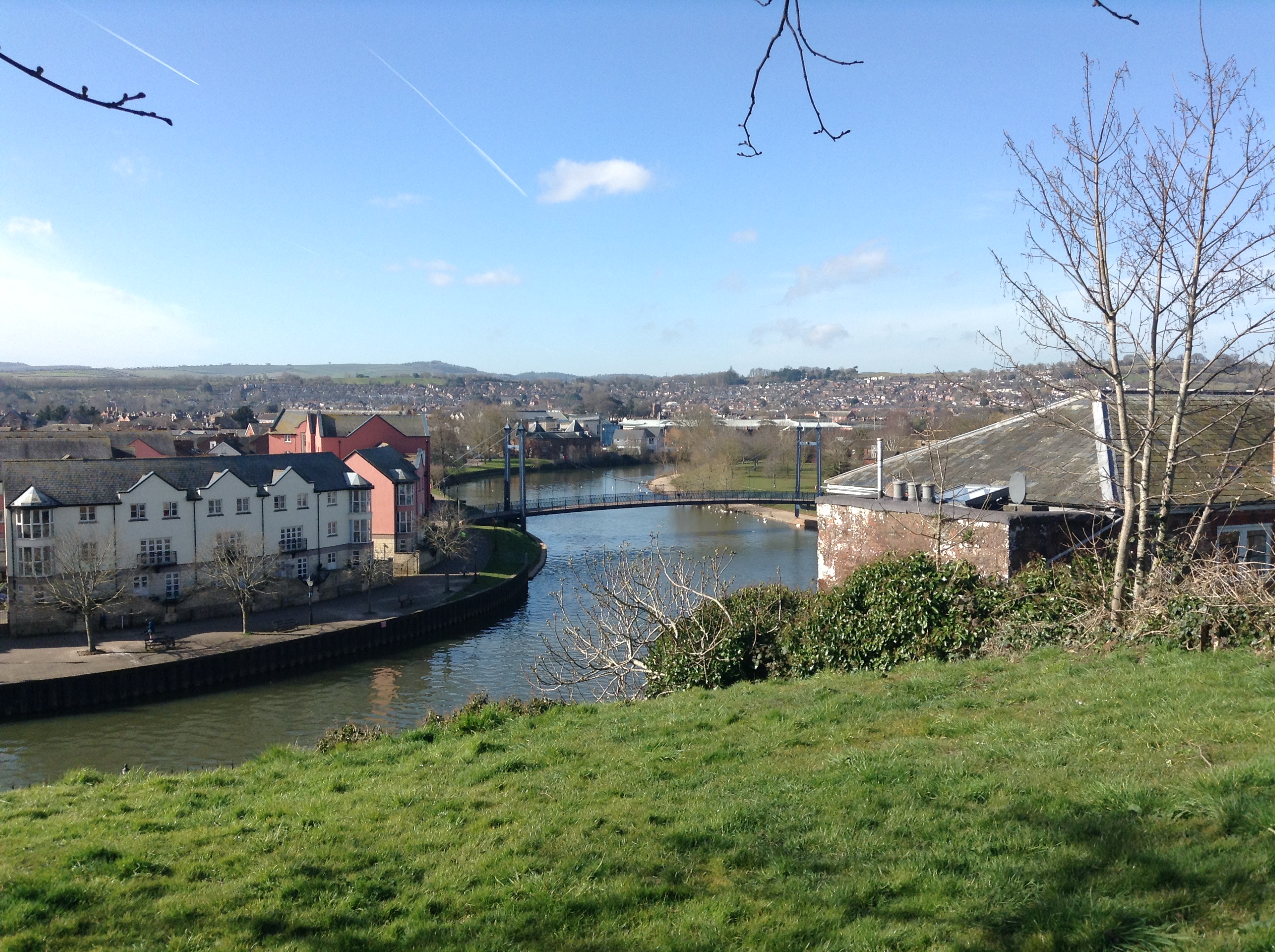
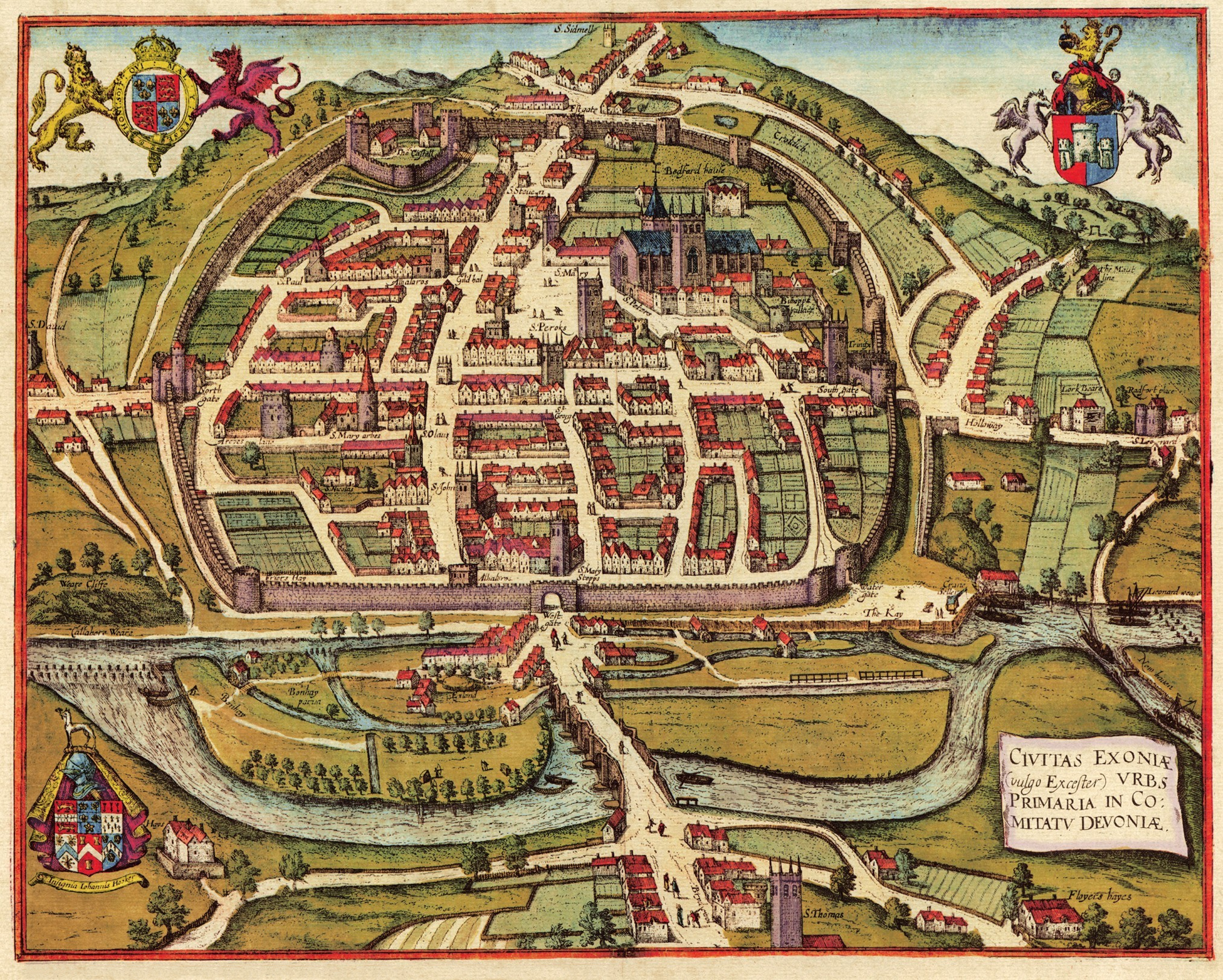
The River Exe ( ) in England rises at Exe Head, near the village of Simonsbath, on Exmoor in Somerset, from the Bristol Channel coast, but flows more or less directly due south, so that most of its length lies in Devon. It flows for 60 miles (96 km) and reaches the sea at a substantial ria, the Exe Estuary, on the south (English Channel) coast of Devon. Historically, its lowest bridging point was the Old Exe Bridge in Exeter, the largest settlement on the river, but there is now a viaduct for the M5 motorway about south of the city centre. Topography The river's name derives from *Uɨsk, a Common Brittonic root meaning "abounding in fish", and a cognate of both the Irish ''iasc'', meaning "fish", and ''pysg'', the plural word for "fish" in Welsh. The same root separately developed into the English Axe and Esk, the Welsh Usk, though not, as some have claimed, the word '' whisky'', this latter being from the Classical Irish/Gaelic "water" (the fuller phrase ... [...More Info...] [...Related Items...] OR: [Wikipedia] [Google] [Baidu] |
Topsham, Devon
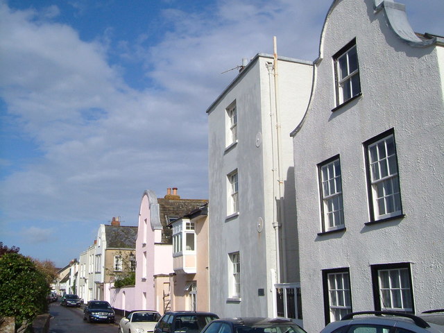
Topsham (, also ) is a town in Devon, England, located on the east side of the River Exe, immediately north of its confluence with the River Clyst and the former's estuary, between Exeter and Exmouth. Topsham is a historic port and was designated a town by a 1300 royal charter granted by Edward I; it was formally amalgamated into the City of Exeter in 1966. The town is served by Topsham railway station, about midway on the branch line from Exeter Central to Exmouth, now called the Avocet Line; 2011 saw the 150th anniversary of the railway coming to Topsham. The electoral ward of Topsham had a population recorded at 5,519 in the 2011 census, though this ward extends further northwest and includes the east half of Countess Wear as well as the new suburb of Newcourt. History The native Celtic settlement of Topsham became the port of the Roman city of Isca Dumnoniorum (Exeter) in the first century AD, and continued to serve it until the Roman occupation of southern Britain cea ... [...More Info...] [...Related Items...] OR: [Wikipedia] [Google] [Baidu] |
River Axe (Lyme Bay)
The River Axe is a long river in the counties of Dorset, Somerset and Devon, in the south-west of England. It rises in Dorset and flows south to Lyme Bay which it enters through the Axe Estuary in Devon. It is a shallow, non-navigable river, although its mouth at Seaton has some boating activity. The name ''Axe'' derives from a Common Brittonic word meaning "abounding in fish", and is cognate with '' pysg'' (a variant of '' pysgod''), the Welsh word for fish. The River Axe rises in several streams to the south of Chedington in Dorset, close the source of the River Parrett that flows north to the Bristol Channel. The Axe then flows west through Mosterton and Seaborough before turning south and forming the county boundary between Dorset and Somerset. In this section it flows past the villages of Wayford and Winsham, and the former Forde Abbey. At a point some north of Axminster Axminster is a market town and civil parish on the eastern border of the county of Devon in Engla ... [...More Info...] [...Related Items...] OR: [Wikipedia] [Google] [Baidu] |
Welsh Language
Welsh ( or ) is a Celtic language family, Celtic language of the Brittonic languages, Brittonic subgroup that is native to the Welsh people. Welsh is spoken natively in Wales, by some in England, and in Y Wladfa (the Welsh colony in Chubut Province, Argentina). Historically, it has also been known in English as "British", "Cambrian", "Cambric" and "Cymric". The Welsh Language (Wales) Measure 2011 gave the Welsh language official status in Wales. Both the Welsh and English languages are ''de jure'' official languages of the Welsh Parliament, the Senedd. According to the 2021 United Kingdom census, 2021 census, the Welsh-speaking population of Wales aged three or older was 17.8% (538,300 people) and nearly three quarters of the population in Wales said they had no Welsh language skills. Other estimates suggest that 29.7% (899,500) of people aged three or older in Wales could speak Welsh in June 2022. Almost half of all Welsh speakers consider themselves fluent Welsh speakers ... [...More Info...] [...Related Items...] OR: [Wikipedia] [Google] [Baidu] |
Irish Language
Irish ( Standard Irish: ), also known as Gaelic, is a Goidelic language of the Insular Celtic branch of the Celtic language family, which is a part of the Indo-European language family. Irish is indigenous to the island of Ireland and was the population's first language until the 19th century, when English gradually became dominant, particularly in the last decades of the century. Irish is still spoken as a first language in a small number of areas of certain counties such as Cork, Donegal, Galway, and Kerry, as well as smaller areas of counties Mayo, Meath, and Waterford. It is also spoken by a larger group of habitual but non-traditional speakers, mostly in urban areas where the majority are second-language speakers. Daily users in Ireland outside the education system number around 73,000 (1.5%), and the total number of persons (aged 3 and over) who claimed they could speak Irish in April 2016 was 1,761,420, representing 39.8% of respondents. For most of recorded ... [...More Info...] [...Related Items...] OR: [Wikipedia] [Google] [Baidu] |
Cognate
In historical linguistics, cognates or lexical cognates are sets of words in different languages that have been inherited in direct descent from an etymology, etymological ancestor in a proto-language, common parent language. Because language change can have radical effects on both the sound and the meaning of a word, cognates may not be obvious, and often it takes rigorous study of historical sources and the application of the comparative method to establish whether lexemes are cognate or not. Cognates are distinguished from Loanword, loanwords, where a word has been borrowed from another language. The term ''cognate'' derives from the Latin noun '':wikt:cognatus, cognatus blood relative'. Characteristics Cognates need not have the same meaning, which semantic drift, may have changed as the languages developed independently. For example English language, English ''wikt:starve#English, starve'' and Dutch language, Dutch ''wikt:sterven#Dutch, sterven'' 'to die' or German languag ... [...More Info...] [...Related Items...] OR: [Wikipedia] [Google] [Baidu] |
Common Brittonic
Common Brittonic ( cy, Brythoneg; kw, Brythonek; br, Predeneg), also known as British, Common Brythonic, or Proto-Brittonic, was a Celtic language spoken in Britain and Brittany. It is a form of Insular Celtic, descended from Proto-Celtic, a theorized parent tongue that, by the first half of the first millennium BC, was diverging into separate dialects or languages. Pictish is linked, likely as a sister language or a descendant branch. Evidence from early and modern Welsh shows that Common Brittonic took a significant amount of influence from Latin during the Roman period, especially in terms related to the church and Christianity. By the sixth century AD, the tongues of the Celtic Britons were more rapidly splitting into Neo-Brittonic: Welsh, Cumbric, Cornish, Breton, and possibly the Pictish language. Over the next three centuries it was replaced in most of Scotland by Scottish Gaelic and by Old English (from which descend Modern English and Scots) throughout most o ... [...More Info...] [...Related Items...] OR: [Wikipedia] [Google] [Baidu] |
River Exe At Exeter Quay
A river is a natural flowing watercourse, usually freshwater, flowing towards an ocean, sea, lake or another river. In some cases, a river flows into the ground and becomes dry at the end of its course without reaching another body of water. Small rivers can be referred to using names such as creek, brook, rivulet, and rill. There are no official definitions for the generic term river as applied to geographic features, although in some countries or communities a stream is defined by its size. Many names for small rivers are specific to geographic location; examples are "run" in some parts of the United States, "burn" in Scotland and northeast England, and "beck" in northern England. Sometimes a river is defined as being larger than a creek, but not always: the language is vague. Rivers are part of the water cycle. Water generally collects in a river from precipitation through a drainage basin from surface runoff and other sources such as groundwater recharge, springs, a ... [...More Info...] [...Related Items...] OR: [Wikipedia] [Google] [Baidu] |
M5 Motorway
The M5 is a motorway in England linking the Midlands with the South West England, South West. It runs from junction 8 of the M6 motorway, M6 at West Bromwich near Birmingham to Exeter in Devon. Heading south-west, the M5 runs east of West Bromwich and west of Birmingham through Sandwell Valley. It continues past Bromsgrove (and from Birmingham and Bromsgrove is part of the Birmingham Motorway Box), Droitwich Spa, Worcester, England, Worcester, Tewkesbury, Cheltenham, Gloucester, Bristol, Clevedon, Weston-super-Mare, Bridgwater, Taunton, terminating at junction 31 for Exeter. Congestion on the section south of the M4 motorway, M4 is common during the summer holidays, on Friday afternoons and bank holidays. Route The M5 quite closely follows the route of the A38 road. The two deviate slightly around Bristol and the area south of Bristol from junctions 16 to the Sedgemoor services north of junction 22. The A38 goes straight through the centre of Bristol and passes by Bristol Airp ... [...More Info...] [...Related Items...] OR: [Wikipedia] [Google] [Baidu] |
Old Exe Bridge
The Old Exe Bridge is a ruined medieval arch bridge in Exeter in south west England. Construction of the bridge began in 1190, and was completed by 1214. The bridge is the oldest surviving bridge of its size in England and the oldest bridge in Britain with a chapel still on it. It replaced several rudimentary crossings which had been in use sporadically since Roman times. The project was the idea of Nicholas and Walter Gervase, father and son and influential local merchants, who travelled the country to raise funds. No known records survive of the bridge's builders. The result was a bridge at least long, which probably had 17 or 18 arches, carrying the road diagonally from the west gate of the city wall across the River Exe and its wide, marshy flood plain. St Edmund's Church, the bridge chapel, was built into the bridge at the time of its construction, and St Thomas's Church was built on the riverbank at about the same time. The Exe Bridge is unusual among British medieval br ... [...More Info...] [...Related Items...] OR: [Wikipedia] [Google] [Baidu] |
Lowest Bridging Point
The lowest bridging point (or lowest crossing point) is the location on a river which is crossed by a bridge at its closest point to the sea. Historically - that is, before the development of engineering technology that allowed the construction of tunnels and high-level road bridges - the lowest bridging point of a river was frequently the point at which an important town or city grew up, and particularly where trade and commerce took place. The place could be served by roads on either side of the river, allowing access from a wide hinterland; had river transport available upstream; and often was at a location that allowed seagoing traffic to approach it from a downstream direction. Examples of historic lowest bridging points in Britain include London (London Bridge), the lowest bridging point on the Thames; Lancaster, Lancashire, Lancaster, the lowest bridging point on the River Lune, Lune; York, the lowest bridging point on the River Ouse, Yorkshire, Ouse; Exeter (the Old Exe Br ... [...More Info...] [...Related Items...] OR: [Wikipedia] [Google] [Baidu] |
Exe Estuary
The Exe estuary is an estuary on the south coast of Devon, England. The estuary starts just to the south () of the city of Exeter, and extends south for approximately eight miles to meet the English Channel (). The estuary is a ria and so is larger than would be the case given the size of the River Exe, the main river feeding into the estuary. On the east shore (from north to south) is the town of Topsham, the villages of Exton and Lympstone and at the estuary mouth, the seaside resort of Exmouth. Opposite Exmouth on the west shore is the village of Dawlish Warren with its sand spit extending across the mouth of the estuary. Above this there are fewer settlements on the west shore, with just the villages of Starcross and Cockwood, both adjoining the lower portion of the estuary. The River Clyst also feeds into the estuary, just below Topsham. The River Kenn feeds into the estuary near Kenton. The soil is alluvial, derived from Devonian, Carboniferous and Permian rocks. ... [...More Info...] [...Related Items...] OR: [Wikipedia] [Google] [Baidu] |


