|
Exchange District
The Exchange District is a National Historic Site of Canada in the downtown area of Winnipeg, Manitoba, Canada. Just one block north of Portage and Main, the Exchange District comprises twenty city blocks and approximately 150 heritage buildings, and it is known for its intact early 20th century collection of warehouses, financial institutions, and early terracotta-clad skyscrapers. The Exchange is home to the Manitoba Museum as well as the Planetarium and a Science Gallery. The Exchange District spans two distinct areas, the East Exchange and the West Exchange. The east Exchange area is located between the Disraeli Bridge, Waterfront Drive, William Stephenson Way, and Main Street, and the West Exchange is bounded by Adelaide Street, Ross Avenue, Notre Dame Avenue, and Main Street. History The Exchange District’s name originates from the Winnipeg Grain Exchange, the former centre of the grain industry in Canada, as well as other commodity exchanges that developed in Winn ... [...More Info...] [...Related Items...] OR: [Wikipedia] [Google] [Baidu] |
Winnipeg
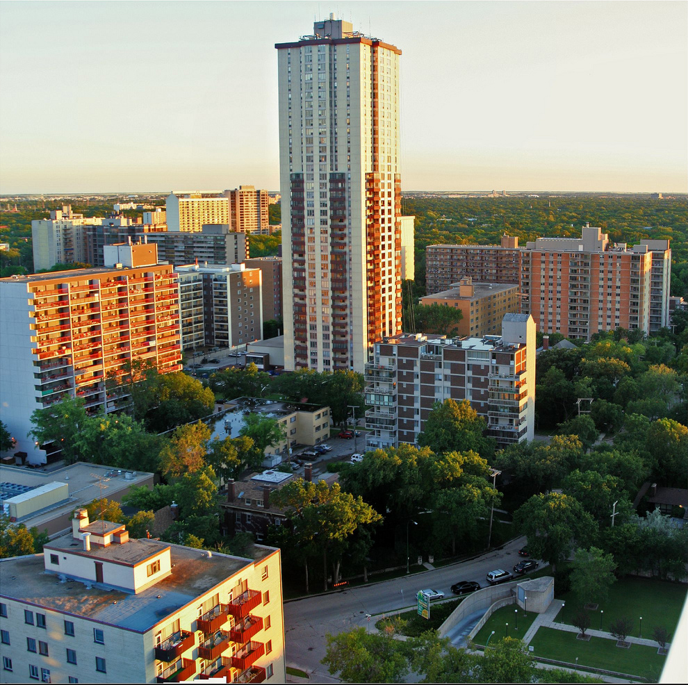
Winnipeg () is the capital and largest city of the province of Manitoba in Canada. It is centred on the confluence of the Red and Assiniboine rivers, near the longitudinal centre of North America. , Winnipeg had a city population of 749,607 and a metropolitan population of 834,678, making it the sixth-largest city, and eighth-largest metropolitan area in Canada. The city is named after the nearby Lake Winnipeg; the name comes from the Western Cree words for "muddy water" - “winipīhk”. The region was a trading centre for Indigenous peoples long before the arrival of Europeans; it is the traditional territory of the Anishinabe (Ojibway), Ininew (Cree), Oji-Cree, Dene, and Dakota, and is the birthplace of the Métis Nation. French traders built the first fort on the site in 1738. A settlement was later founded by the Selkirk settlers of the Red River Colony in 1812, the nucleus of which was incorporated as the City of Winnipeg in 1873. Being far inland, the local cl ... [...More Info...] [...Related Items...] OR: [Wikipedia] [Google] [Baidu] |
Chicago
(''City in a Garden''); I Will , image_map = , map_caption = Interactive Map of Chicago , coordinates = , coordinates_footnotes = , subdivision_type = Country , subdivision_name = United States , subdivision_type1 = State , subdivision_type2 = Counties , subdivision_name1 = Illinois , subdivision_name2 = Cook and DuPage , established_title = Settled , established_date = , established_title2 = Incorporated (city) , established_date2 = , founder = Jean Baptiste Point du Sable , government_type = Mayor–council , governing_body = Chicago City Council , leader_title = Mayor , leader_name = Lori Lightfoot ( D) , leader_title1 = City Clerk , leader_name1 = Anna Valencia ( D) , unit_pref = Imperial , area_footnotes = , area_tot ... [...More Info...] [...Related Items...] OR: [Wikipedia] [Google] [Baidu] |
Minister Of Canadian Heritage
The minister of Canadian heritage (french: ministre du patrimoine canadien) is the minister of the Crown who heads Canadian Heritage, the department of the Government of Canada responsible for culture, media, sports, and the arts. History The position was created in 1996 to combine the posts of minister of multiculturalism and citizenship and minister of communications. The "status of women" was merged from the minister responsible for the status of women in 2006. In 2008, the status of women portfolio was transferred to a minister of state. On August 16, 2013, the multiculturalism portfolio was assigned to Jason Kenney, who was appointed minister for multiculturalism in addition to his other portfolios. Those portfolios and responsibilities such as for the Canadian Race Relations Foundation, were returned to the heritage minister with the swearing in of the 29th Canadian Ministry in November 2015. The heritage minister also gained responsibility for the National Capital Com ... [...More Info...] [...Related Items...] OR: [Wikipedia] [Google] [Baidu] |
Osborne Village
Osborne Village is a neighbourhood of Winnipeg, Manitoba. The area is bordered by the Assiniboine River on the north and west, Harkness Station on the east (see Winnipeg RT), and the Osborne Underpass on the south. History Osborne Village derives its name from Osborne Street ( Winnipeg Route 62), which runs through the centre of the village area. Osborne Street was named after Lieutenant Colonel William Osborne Smith (1831–1887) the first commanding officer of Military District 10, which included the City of Winnipeg. North of the Assiniboine River, Osborne Street was adjacent to the first Fort Osborne Barracks, on the site of which is now the Provincial Legislature. Osborne Village is part of the original Fort Rouge area, which became part of the City of Winnipeg as Ward 1 in 1882. The Fort Rouge area started with a population of only 150, but grew to a population of tens of thousands by 1994. The Fort Rouge area began developing as a residential suburb of Winnipeg after ... [...More Info...] [...Related Items...] OR: [Wikipedia] [Google] [Baidu] |
Broadway (Winnipeg)
Broadway is a street in the city of Winnipeg, Manitoba, Canada. It is one of the city's oldest and most historic routes and forms the Trans-Canada Highway route through the city's downtown. The street is located between Main Street and Osborne Street, bookended by the Union Station to the east and the Manitoba Legislative Building to the west. Broadway also functions as an unofficial boundary between the commercial and residential areas in the southern part of downtown. Route description Broadway begins at Main Street (Route 52), opposite Union Station, near the confluence of the Red and Assiniboine Rivers. It travels west before merging into westbound Portage Avenue ( Route 85). The street is divided into two distinct sections to the east and west, which are separated by Osborne Street ( Route 62). To the east is the downtown portion of Broadway, which is a picturesque street with a wide, park-like boulevard and elm canopy. The street passes by several of Winnipeg's oldest ... [...More Info...] [...Related Items...] OR: [Wikipedia] [Google] [Baidu] |
Portage Avenue
Portage or portaging (Canada: ; ) is the practice of carrying water craft or cargo over land, either around an obstacle in a river, or between two bodies of water. A path where items are regularly carried between bodies of water is also called a ''portage.'' The term comes from French, where means "to carry," as in "portable". In Canada, the term "carrying-place" was sometimes used. Early French explorers in New France and French Louisiana encountered many rapids and cascades. The Native Americans carried their canoes over land to avoid river obstacles. Over time, important portages were sometimes provided with canals with locks, and even portage railways. Primitive portaging generally involves carrying the vessel and its contents across the portage in multiple trips. Small canoes can be portaged by carrying them inverted over one's shoulders and the center strut may be designed in the style of a yoke to facilitate this. Historically, voyageurs often employed tump lines on th ... [...More Info...] [...Related Items...] OR: [Wikipedia] [Google] [Baidu] |
World War II
World War II or the Second World War, often abbreviated as WWII or WW2, was a world war that lasted from 1939 to 1945. It involved the vast majority of the world's countries—including all of the great powers—forming two opposing military alliances: the Allies and the Axis powers. World War II was a total war that directly involved more than 100 million personnel from more than 30 countries. The major participants in the war threw their entire economic, industrial, and scientific capabilities behind the war effort, blurring the distinction between civilian and military resources. Aircraft played a major role in the conflict, enabling the strategic bombing of population centres and deploying the only two nuclear weapons ever used in war. World War II was by far the deadliest conflict in human history; it resulted in 70 to 85 million fatalities, mostly among civilians. Tens of millions died due to genocides (including the Holocaust), starvation, ma ... [...More Info...] [...Related Items...] OR: [Wikipedia] [Google] [Baidu] |
East Coast Of The United States
The East Coast of the United States, also known as the Eastern Seaboard, the Atlantic Coast, and the Atlantic Seaboard, is the coastline along which the Eastern United States meets the North Atlantic Ocean. The eastern seaboard contains the coastal states and areas east of the Appalachian Mountains that have shoreline on the Atlantic Ocean, namely, Maine, New Hampshire, Massachusetts, Rhode Island, Connecticut, New York, New Jersey, Delaware, Maryland, Virginia, North Carolina, South Carolina, Georgia, and Florida.General Reference Map , , 2003. Toponymy and composition T ...[...More Info...] [...Related Items...] OR: [Wikipedia] [Google] [Baidu] |
East Asia
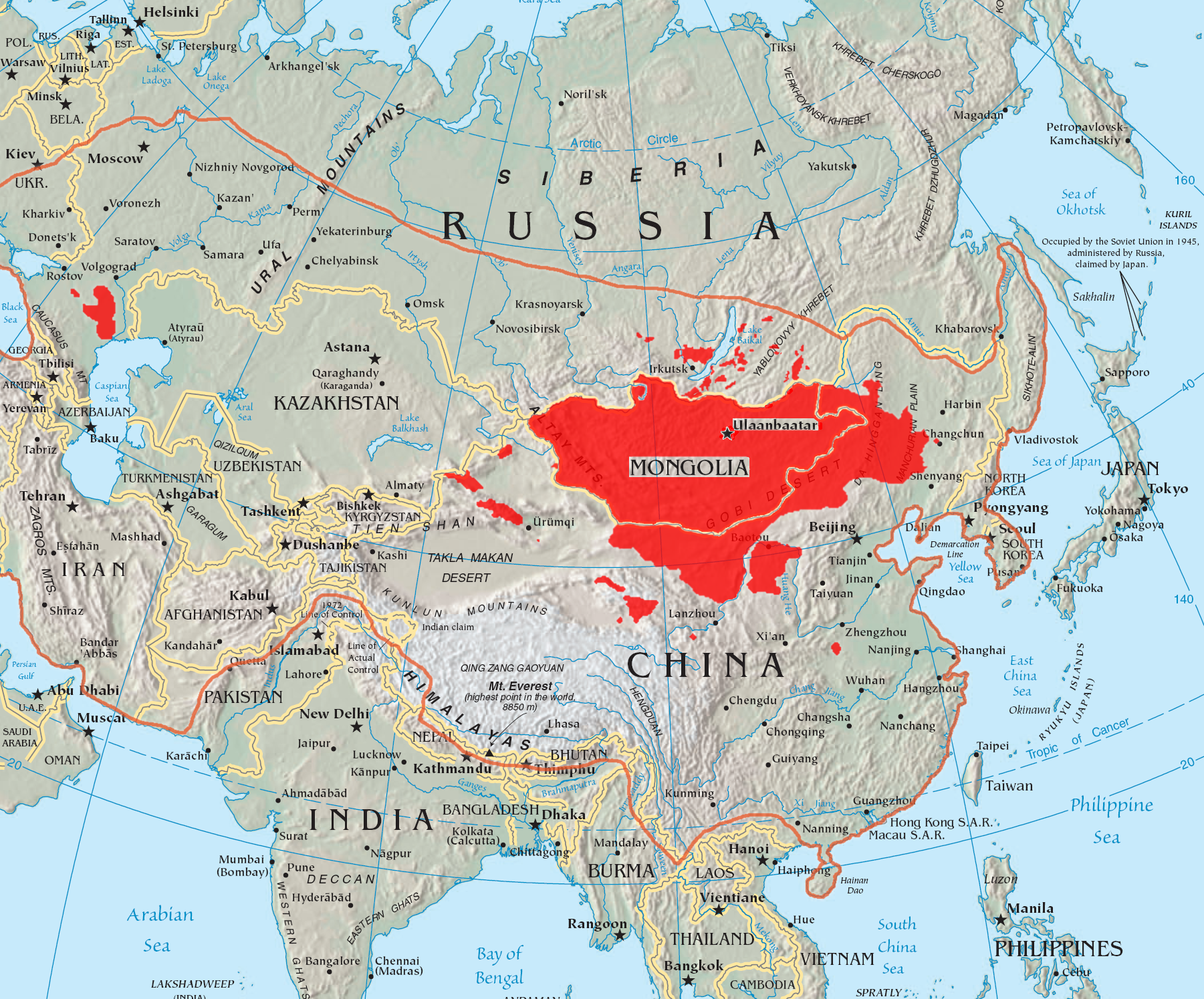
East Asia is the eastern region of Asia, which is defined in both geographical and ethno-cultural terms. The modern states of East Asia include China, Japan, Mongolia, North Korea, South Korea, and Taiwan. China, North Korea, South Korea and Taiwan are all unrecognised by at least one other East Asian state due to severe ongoing political tensions in the region, specifically the division of Korea and the political status of Taiwan. Hong Kong and Macau, two small coastal quasi-dependent territories located in the south of China, are officially highly autonomous but are under Chinese sovereignty. Japan, Taiwan, South Korea, Mainland China, Hong Kong, and Macau are among the world's largest and most prosperous economies. East Asia borders Siberia and the Russian Far East to the north, Southeast Asia to the south, South Asia to the southwest, and Central Asia to the west. To the east is the Pacific Ocean and to the southeast is Micronesia (a Pacific Ocean island group, classifi ... [...More Info...] [...Related Items...] OR: [Wikipedia] [Google] [Baidu] |
Western Canada
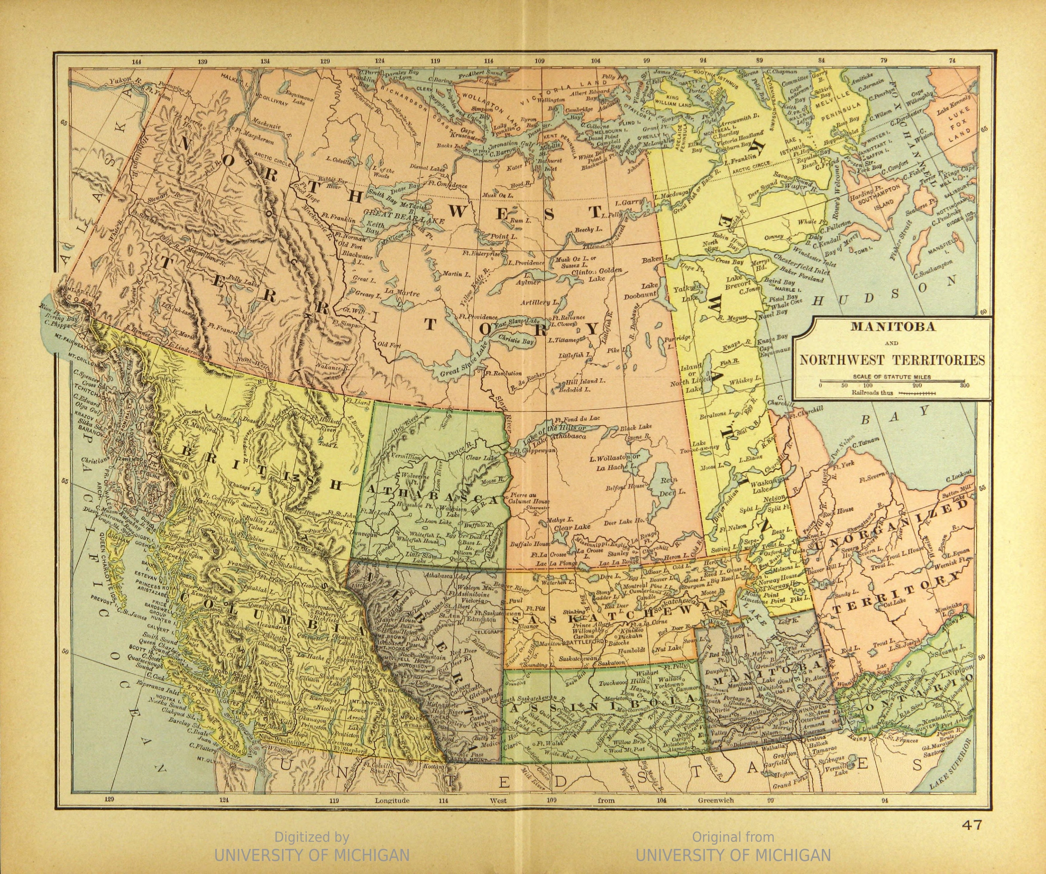
Western Canada, also referred to as the Western provinces, Canadian West or the Western provinces of Canada, and commonly known within Canada as the West, is a Canadian region that includes the four western provinces just north of the Canada–United States border namely (from west to east) British Columbia, Alberta, Saskatchewan and Manitoba. The people of the region are often referred to as "Western Canadians" or "Westerners", and though diverse from province to province are largely seen as being collectively distinct from other Canadians along cultural, linguistic, socioeconomic, geographic, and political lines. They account for approximately 32% of Canada's total population. The region is further subdivided geographically and culturally between British Columbia, which is mostly on the western side of the Canadian Rockies and often referred to as the " west coast", and the "Prairie Provinces" (commonly known as "the Prairies"), which include those provinces on the easter ... [...More Info...] [...Related Items...] OR: [Wikipedia] [Google] [Baidu] |
Europe
Europe is a large peninsula conventionally considered a continent in its own right because of its great physical size and the weight of its history and traditions. Europe is also considered a Continent#Subcontinents, subcontinent of Eurasia and it is located entirely in the Northern Hemisphere and mostly in the Eastern Hemisphere. Comprising the westernmost peninsulas of Eurasia, it shares the continental landmass of Afro-Eurasia with both Africa and Asia. It is bordered by the Arctic Ocean to the north, the Atlantic Ocean to the west, the Mediterranean Sea to the south and Asia to the east. Europe is commonly considered to be Boundaries between the continents of Earth#Asia and Europe, separated from Asia by the drainage divide, watershed of the Ural Mountains, the Ural (river), Ural River, the Caspian Sea, the Greater Caucasus, the Black Sea and the waterways of the Turkish Straits. "Europe" (pp. 68–69); "Asia" (pp. 90–91): "A commonly accepted division between Asia and E ... [...More Info...] [...Related Items...] OR: [Wikipedia] [Google] [Baidu] |
Eastern Canada
Eastern Canada (also the Eastern provinces or the East) is generally considered to be the region of Canada south of the Hudson Bay/Strait and east of Manitoba, consisting of the following provinces (from east to west): Newfoundland and Labrador, Nova Scotia, Prince Edward Island, New Brunswick, Quebec and Ontario. Ontario and Quebec, Canada's two largest provinces, define Central Canada; while the other provinces constitute Atlantic Canada. New Brunswick, Nova Scotia and Prince Edward Island are also known as the Maritime provinces. Capitals Ottawa, Canada's capital, is located in Eastern Canada, within the province of Ontario. The capitals of the provinces are in the list below: * Newfoundland and Labrador - St. John's * Nova Scotia - Halifax * Prince Edward Island - Charlottetown * New Brunswick - Fredericton * Quebec - Quebec City * Ontario - Toronto Definitions The Canadian Press defines Eastern Canada as everything east of and including Thunder Bay, Ontario.Canadian ... [...More Info...] [...Related Items...] OR: [Wikipedia] [Google] [Baidu] |

.png)


