|
Ethelton Railway Station
Ethelton station is located on the Outer Harbor line. Situated in the north-western Adelaide suburb of Ethelton, it is 13.1 kilometres from Adelaide station. History Ethelton station opened in 1916, following construction of the Commercial Road viaduct at Port Adelaide and a new bridge across the Port River. This new line diverted trains from Adelaide to Semaphore and Outer Harbor away from the congested rail yards at Port Dock station and to avoid heavy traffic along St Vincents Street in the centre of Port Adelaide. It has been unstaffed since the ticket office closed in 1980, and there is a small interchange for local buses adjacent to the station. The railway tracks through Ethelton are dual gauge and capable of carrying both broad gauge and trains. Until July 2008, the dual gauge tracks were used by freight trains from Dry Creek and the Rosewater loop which passed through Ethelton to access industrial facilities on the Lefevre Peninsula and the container terminal a ... [...More Info...] [...Related Items...] OR: [Wikipedia] [Google] [Baidu] |
Ethelton, South Australia
Ethelton is a north-western suburb of Adelaide from the CBD, on the Lefevre Peninsula, in the state of South Australia, Australia. It is a residential suburb within the local government area of City of Port Adelaide Enfield, adjacent to the suburbs of Semaphore, Semaphore South, Glanville and New Port. It is bounded to the north by Hart Street, to the south by Bower Road and in the west by Swan Terrace and in the east by Causeway Road. Facilities The suburb is not served by a public primary school. The nearest are Le Fevre Primary School in Birkenhead and Westport Primary School in Semaphore Park. The area was previously serviced by Ethelton Primary School, but the campus was closed when the school amalgamated with Semaphore Primary School (to form Westport Primary). The local high school is Le Fevre High School, in nearby Semaphore South. There is a private school in the suburb, Portside Christian School (Reception to Year 12). The John Hart Reserve and Oval at the no ... [...More Info...] [...Related Items...] OR: [Wikipedia] [Google] [Baidu] |
Freight Train
Rail freight transport is the use of railroads and trains to transport cargo as opposed to human passengers. A freight train, cargo train, or goods train is a group of freight cars (US) or goods wagons (International Union of Railways) hauled by one or more locomotives on a railway, transporting cargo all or some of the way between the shipper and the intended destination as part of the logistics chain. Trains may haul bulk material, intermodal containers, general freight or specialized freight in purpose-designed cars. Rail freight practices and economics vary by country and region. When considered in terms of ton-miles or tonne-kilometers hauled per unit of energy consumed, rail transport can be more efficient than other means of transportation. Maximum economies are typically realized with bulk commodities (e.g., coal), especially when hauled over long distances. However, shipment by rail is not as flexible as by the highway, which has resulted in much freight being ... [...More Info...] [...Related Items...] OR: [Wikipedia] [Google] [Baidu] |
Railway Stations In Adelaide
Rail transport (also known as train transport) is a means of transport that transfers passengers and goods on wheeled vehicles running on rails, which are incorporated in tracks. In contrast to road transport, where the vehicles run on a prepared flat surface, rail vehicles (rolling stock) are directionally guided by the tracks on which they run. Tracks usually consist of steel rails, installed on sleepers (ties) set in ballast, on which the rolling stock, usually fitted with metal wheels, moves. Other variations are also possible, such as "slab track", in which the rails are fastened to a concrete foundation resting on a prepared subsurface. Rolling stock in a rail transport system generally encounters lower frictional resistance than rubber-tyred road vehicles, so passenger and freight cars (carriages and wagons) can be coupled into longer trains. The operation is carried out by a railway company, providing transport between train stations or freight customer facili ... [...More Info...] [...Related Items...] OR: [Wikipedia] [Google] [Baidu] |
Glanville Railway Station
Glanville railway station is located on the Outer Harbor line. Situated in the north-western Adelaide suburb of Glanville, it is 13.8 kilometres from Adelaide station. History The station opened in 1878 after the extension of the Adelaide to Port Adelaide railway to Semaphore. This remained the main line, until the junction at Glanville towards Outer Harbor opened in 1908. The Semaphore branch line ran mainly in the middle of Semaphore Road and remained open until 1978. There was also a junction from Glanville with a track running east then north serving industrial sites along the Port River. The ''Birkenhead Loop'' was closed in 2008 when the Mary MacKillop rail bridge opened, and the alignment used to extend Semaphore Road to the Tom 'Diver' Derrick road bridge. Up until February 2013, a number of peak hour services from Adelaide terminated at Glanville using the bay platform, but they were withdrawn in favour of terminating services at Osborne. Since then, the bay ... [...More Info...] [...Related Items...] OR: [Wikipedia] [Google] [Baidu] |
Osborne Railway Station
Osborne railway station is located on the Outer Harbor line.Outer Harbor & Grange timetable Adelaide Metro 23 February 2014 Situated in the north-western suburb of , it is 19.6 kilometres from Adelaide station. History This station was opened on 30 November 1908. Just south of the station, the line from |
Outer Harbor Railway Station
Outer Harbor railway station is the terminus station of the Outer Harbor line. Situated in the north-western Adelaide suburb of North Haven, it is 21.9 kilometres from Adelaide station. History Port facilities at Outer Harbor were constructed during the first decade of the 20th century. This involved reclamation of marshland and the building of wharves and breakwaters. A railway line was built northwards from Largs in 1903 to facilitate this construction. The line was initially single track and used by goods trains only. As the harbour project reached completion, a station was erected alongside the wharf at Outer Harbor and a passenger service was introduced in late 1907. Outer Harbor opened to ocean-going shipping in January 1908. Current location In 1926, a new passenger station with brick buildings was built on the present site and allowed the lines closer to the wharf to concentrate on handling goods traffic. The original station was closer to the wharf than the cur ... [...More Info...] [...Related Items...] OR: [Wikipedia] [Google] [Baidu] |
Railroad Tie
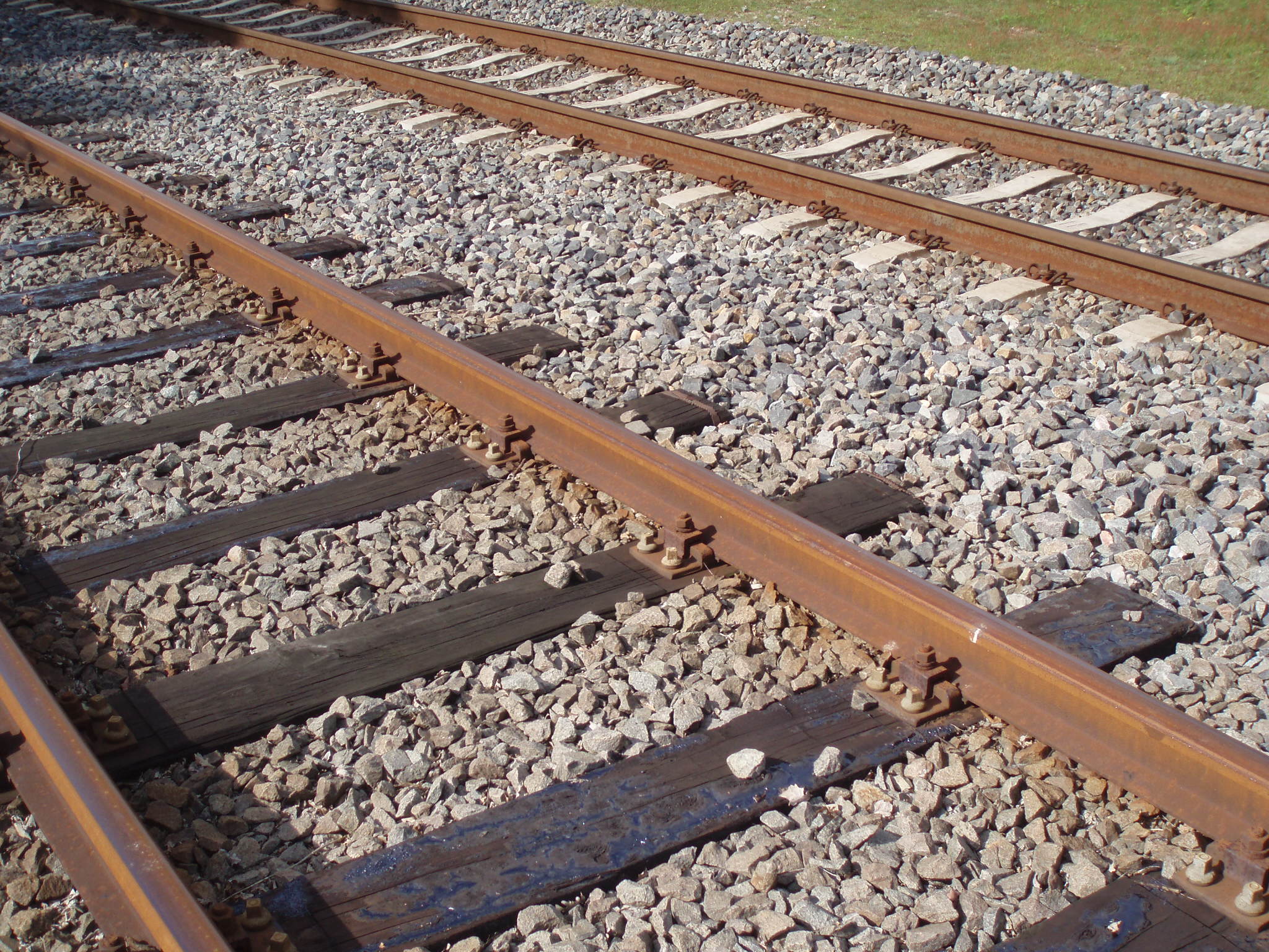
A railroad tie, crosstie (American English), railway tie (Canadian English) or railway sleeper (Australian and British English) is a rectangular support for the rails in railroad tracks. Generally laid perpendicular to the rails, ties transfer loads to the track ballast and subgrade, hold the rails upright and keep them spaced to the correct gauge. Railroad ties are traditionally made of wood, but prestressed concrete is now also widely used, especially in Europe and Asia. Steel ties are common on secondary lines in the UK; plastic composite ties are also employed, although far less than wood or concrete. As of January 2008, the approximate market share in North America for traditional and wood ties was 91.5%, the remainder being concrete, steel, azobé (red ironwood) and plastic composite. Tie spacing may depend on the type of tie, traffic loads and other requirements, for example 2640 concrete ties per mile on North American mainline railroads to 2112 timber ties per mile ... [...More Info...] [...Related Items...] OR: [Wikipedia] [Google] [Baidu] |
ABC News (Australia)
ABC News, or ABC News and Current Affairs, is a public news service produced by the Australian Broadcasting Corporation. Broadcasting within Australia and the rest of the world, the service covers both local and world affairs. The division of the organisation, which is called ABC News, Analysis and Investigations. is responsible for all news-gathering and coverage across the Australian Broadcasting Corporation's various television, radio, and online platforms. Some of the services included under the auspices of the division are the ABC News TV channel (formerly ABC News 24); the long-running radio news programs, '' AM'', '' The World Today'', and '' PM''; ABC NewsRadio, a 24-hour continuous news radio channel; and radio news bulletins and programs on ABC Local Radio, ABC Radio National, ABC Classic FM, and Triple J. ABC News Online has an extensive online presence which includes many written news reports and videos available via ABC Online, an ABC News mobile app (ABC Liste ... [...More Info...] [...Related Items...] OR: [Wikipedia] [Google] [Baidu] |
Tom 'Diver' Derrick Bridge
The Tom 'Diver' Derrick Bridge, commonly referred to as the 'Diver' Derrick Bridge, is an opening single-leaf bascule road bridge over the Port River, Port Adelaide, in South Australia. It opened on 1 August 2008. It is located between Docks 1 and 2 at Port Adelaide and links to Francis Street to the east and Victoria Road to the west. The bridge was the subject of a successful community campaign, spearheaded by the local Semaphore & Port Adelaide RSL Sub-Branch and the ''Portside Messenger'' newspaper, to name it after Port Adelaide World War II hero, Tom 'Diver' Derrick instead of the State Government's unpopular choice of the Power Bridge. History For years, debate raged in Port Adelaide about the need for a third crossing over the Port River, in addition to the existing Birkenhead and Jervois bridges. Ideas for the crossing included an under-river tunnel, closed bridge, causeway and opening bridge. In the early 2000s the State Government announced the Port River Expres ... [...More Info...] [...Related Items...] OR: [Wikipedia] [Google] [Baidu] |
Pelican Point (Adelaide)
Pelican Point is at the northern tip of Lefevre Peninsula, adjacent to the Port River shipping channel and the container terminal and associated infrastructure at Outer Harbor. A non-residential area, it is undergoing considerable industrial development, which is expected to continue as other projects, such as the Port River Expressway, come to fruition. Light Passage, named after founder of Adelaide Colonel William Light, lies in the Port Adelaide River between Pelican Point and Torrens Island. There is a ship's graveyard A ship graveyard or ship cemetery is a location where the hulls of scrapped ships are left to decay and disintegrate, or left in reserve. Such a practice is now less common due to waste regulations and so some dry docks where ships are bro ... site at the northern end of Mutton Cove Conservation Reserve, Mutton Cove, near Pelican Point, there being a steel hulk of a steamship on the beach. See also * Pelican Point Power Station References H ... [...More Info...] [...Related Items...] OR: [Wikipedia] [Google] [Baidu] |
Container Terminal
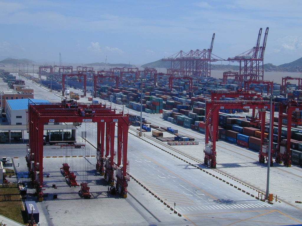
A container port or container terminal is a facility where cargo containers are transshipped between different transport vehicles, for onward transportation. The transshipment may be between container ships and land vehicles, for example trains or trucks, in which case the terminal is described as a ''maritime container port''. Alternatively, the transshipment may be between land vehicles, typically between train and truck, in which case the terminal is described as an ''inland container port''. In November 1932, the first inland container port in the world was opened by the Pennsylvania Railroad company in Enola, Pennsylvania. Port Newark-Elizabeth on the Newark Bay in the Port of New York and New Jersey is considered the world's first maritime container port. On April 26, 1956, the Ideal X was rigged for an experiment to use standardized cargo containers that were stacked and then unloaded to a compatible truck chassis at Port Newark. The concept had been developed by the M ... [...More Info...] [...Related Items...] OR: [Wikipedia] [Google] [Baidu] |


