|
Eden County
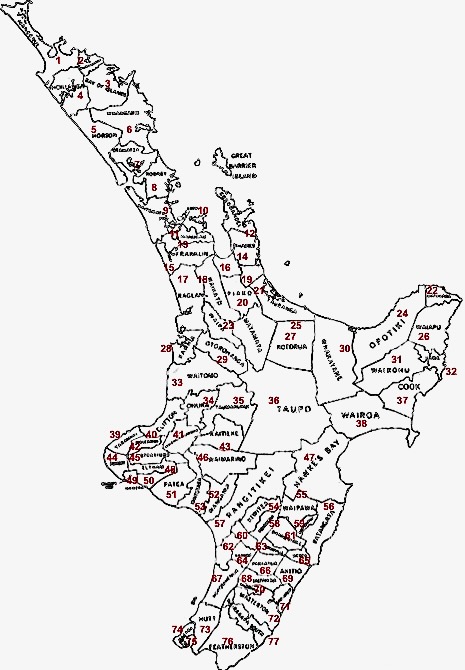
The Eden County, also known as the County of Eden was one of the counties of New Zealand. Established in 1876, the county covered the rural areas of the Auckland isthmus. The county gradually shrunk in size as the city of Auckland grew, and suburban areas became boroughs. History The County of Eden was established in 1842. It was replaced in 1849 by Governor William Hobson with a system of Hundreds, and reinstated in 1876. The county did not administer the area in the way local government does, instead was primarily used as a way to order land division and sales. In 1862, the Highways Act empowered local communities to form Road Boards and Highway Districts to administer areas, and by 1867 there were 20 highway districts in Eden County. Unlike most other counties in New Zealand, the Eden County devolved most of its administrative power and function to the highway and road boards for most of fits existence. The first boroughs to secede from Eden County were Parnell and Onehu ... [...More Info...] [...Related Items...] OR: [Wikipedia] [Google] [Baidu] |
County (New Zealand)
A system of counties of New Zealand was instituted after the country dissolved its provinces in 1876, and these counties were similar to other countries' systems, lasting with little change (except mergers and other localised boundary adjustments) until 1989, when they were reorganised into district and city councils within a system of larger regions. History The Counties Bill of 1876 was initiated to merge 314 road boards into 39 counties. However, as a result of lobbying the number of counties had grown to 63 by the time the bill was enacted. They had chairmen, not mayors as boroughs and cities had; many legislative provisions (such as burial and land subdivision control) were different for the counties. By 1966, there were 112 counties. During the second half of the 20th century, many counties received overflow population from nearby cities. The result was often a merger of the two into a "district" (e.g., Rotorua) or a change of name to "district" (e.g., Waimairi) or "c ... [...More Info...] [...Related Items...] OR: [Wikipedia] [Google] [Baidu] |
Grey Lynn
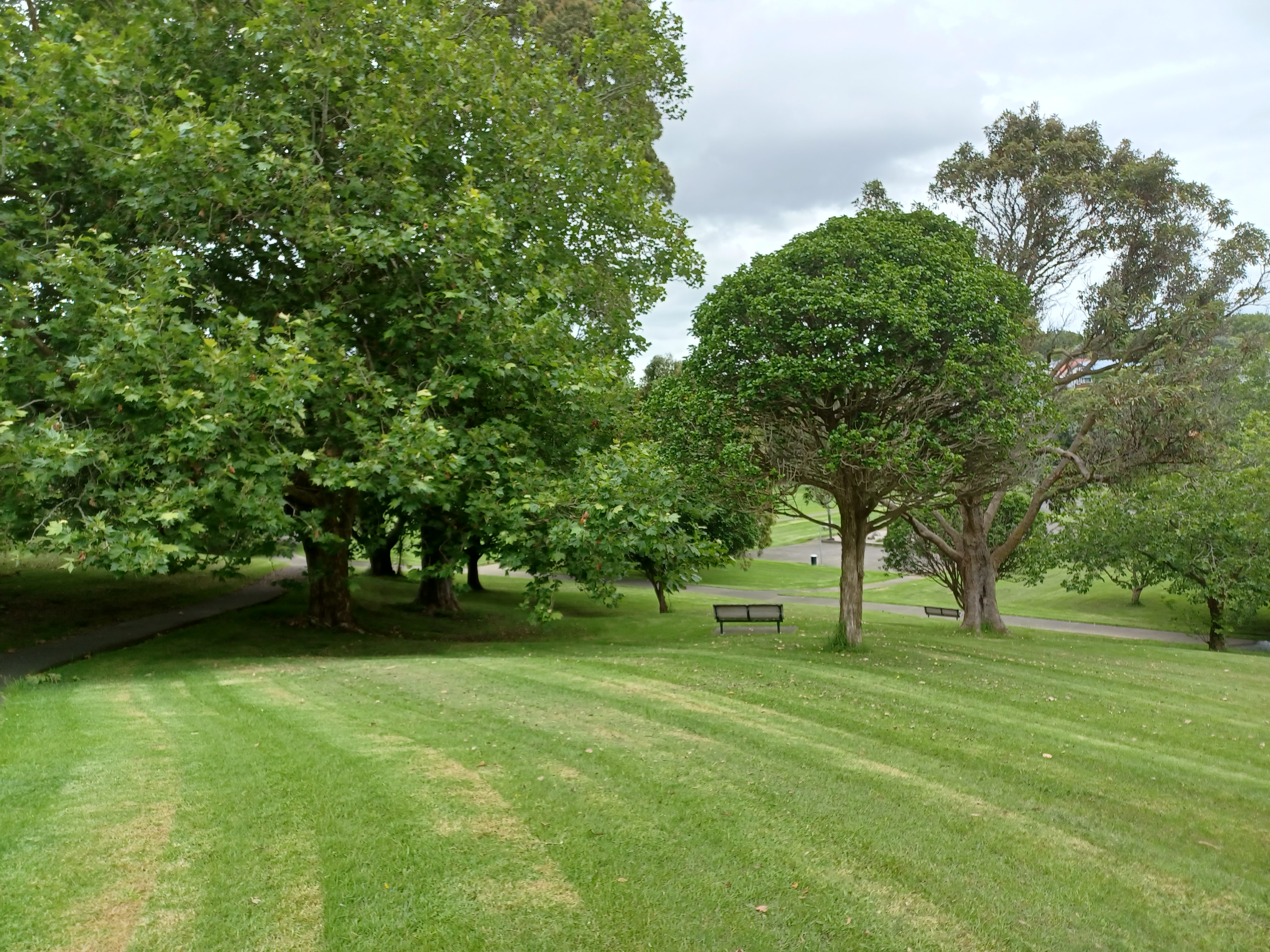
Grey Lynn is an inner suburb of Auckland, New Zealand, located to the west of the city centre. Originally a separate borough, Grey Lynn amalgamated with Auckland City in 1914. Grey Lynn is centred on Grey Lynn Park, which was not part of the original subdivision of 1883, since the land was too steep and too wet for house construction. In 1914 the land was drained and levelled for playing fields. The park is home to the annual Grey Lynn Park Festival, which attracts around 100,000 visitors on the third Saturday in November. The character of the area is often seen as "arty", and one of being a "traditional home to free-thinkers and anti-establishment types". Demographics Grey Lynn covers and had an estimated population of as of with a population density of people per km2. Grey Lynn had a population of 11,733 at the 2018 New Zealand census, an increase of 891 people (8.2%) since the 2013 census, and an increase of 1,491 people (14.6%) since the 2006 census. There were 4,1 ... [...More Info...] [...Related Items...] OR: [Wikipedia] [Google] [Baidu] |
1842 Establishments In New Zealand
__NOTOC__ Year 184 ( CLXXXIV) was a leap year starting on Wednesday (link will display the full calendar) of the Julian calendar. At the time, it was known as the Year of the Consulship of Eggius and Aelianus (or, less frequently, year 937 ''Ab urbe condita''). The denomination 184 for this year has been used since the early medieval period, when the Anno Domini calendar era became the prevalent method in Europe for naming years. Events By place China * The Yellow Turban Rebellion and Liang Province Rebellion break out in China. * The Disasters of the Partisan Prohibitions ends. * Zhang Jue leads the peasant revolt against Emperor Ling of Han of the Eastern Han Dynasty. Heading for the capital of Luoyang, his massive and undisciplined army (360,000 men), burns and destroys government offices and outposts. * June – Ling of Han places his brother-in-law, He Jin, in command of the imperial army and sends them to attack the Yellow Turban rebels. * Winter – Zha ... [...More Info...] [...Related Items...] OR: [Wikipedia] [Google] [Baidu] |
Politics Of The Auckland Region
Politics (from , ) is the set of activities that are associated with making decisions in groups, or other forms of power relations among individuals, such as the distribution of resources or status. The branch of social science that studies politics and government is referred to as political science. It may be used positively in the context of a "political solution" which is compromising and nonviolent, or descriptively as "the art or science of government", but also often carries a negative connotation.. The concept has been defined in various ways, and different approaches have fundamentally differing views on whether it should be used extensively or limitedly, empirically or normatively, and on whether conflict or co-operation is more essential to it. A variety of methods are deployed in politics, which include promoting one's own political views among people, negotiation with other political subjects, making laws, and exercising internal and external force, including wa ... [...More Info...] [...Related Items...] OR: [Wikipedia] [Google] [Baidu] |
Counties Of New Zealand
A system of counties of New Zealand was instituted after the country dissolved its provinces in 1876, and these counties were similar to other countries' systems, lasting with little change (except mergers and other localised boundary adjustments) until 1989, when they were reorganised into district and city councils within a system of larger regions. History The Counties Bill of 1876 was initiated to merge 314 road boards into 39 counties. However, as a result of lobbying the number of counties had grown to 63 by the time the bill was enacted. They had chairmen, not mayors as boroughs and cities had; many legislative provisions (such as burial and land subdivision control) were different for the counties. By 1966, there were 112 counties. During the second half of the 20th century, many counties received overflow population from nearby cities. The result was often a merger of the two into a "district" (e.g., Rotorua) or a change of name to "district" (e.g., Waimairi) or "c ... [...More Info...] [...Related Items...] OR: [Wikipedia] [Google] [Baidu] |
List Of Former Territorial Authorities In New Zealand
This is a list of former territorial authorities in New Zealand. "Territorial authority" is the generic term used for local government entities in New Zealand. Local government has gone through three principal phases with different structures: the provincial era, from 1853 to 1876; the counties and boroughs system from 1876 until 1989; and the current system of regions, cities and districts. This article attempts to list all territorial authorities which have been disestablished. Provincial era (until 1876) The original three provinces were established in 1841 by Royal Charter. The New Zealand Constitution Act 1846 reduced the number of provinces to two. The New Zealand Constitution Act 1852 re-divided New Zealand into six provinces, and four additional provinces emerged during the remainder of the Provincial Era. This era came to end with the Abolition of Provinces Act 1876. Post-provincial era (1876–1989) After New Zealand abolished its provinces in 1876, a system of ... [...More Info...] [...Related Items...] OR: [Wikipedia] [Google] [Baidu] |
Auckland City
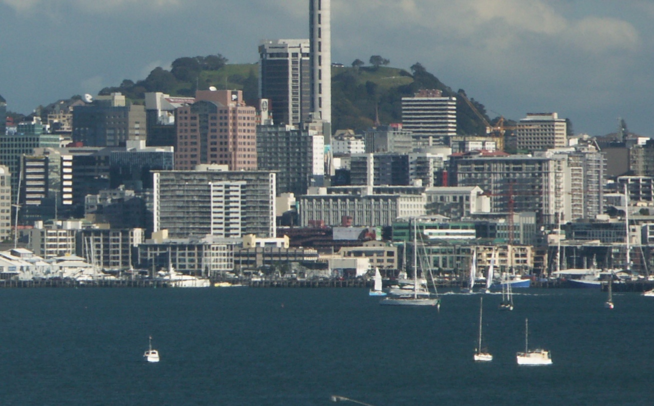
Auckland City was a territorial authority with city status covering the central isthmus of the urban area of Auckland, New Zealand. It was governed by the Auckland City Council from 1989 to 2010, and as a territory within the wider Auckland Region, was also governed by Auckland Regional Council. Auckland City was disestablished as a local authority on 1 November 2010, when Auckland City Council was amalgamated with other councils of the Auckland Region into the new Auckland Council. At the time of its disestablishment, the city had a resident population of around 450,000. The Auckland City included the Auckland CBD – a major financial and commercial centre – the surrounding suburbs, and Hauraki Gulf islands such as Waiheke Island, Waiheke and Great Barrier Island. Geography The mainland part of Auckland City occupied the Auckland isthmus, also known as the Tāmaki isthmus. The Waitematā Harbour, which opens to the Hauraki Gulf, separated North Shore, New Zealand, No ... [...More Info...] [...Related Items...] OR: [Wikipedia] [Google] [Baidu] |
Ellerslie, New Zealand
Ellerslie is a suburb of the city of Auckland, in the North Island of New Zealand. Ellerslie lies seven kilometres to the southeast of the city centre, close to State Highway 1. Administratively, Ellerslie forms part of the Ōrākei Local Board, which also includes the suburbs of Orakei, Mission Bay, Kohimarama, Saint Heliers, Glendowie, St Johns, Meadowbank and Remuera. To the west, Ellerslie borders on the One Tree Hill area and Cornwall Park. Largely a residential suburb, the area is arguably best-known as the site of Auckland's main horse-racing venue, Ellerslie Racecourse, as well as the original site of the Ellerslie Flower Show. (From 2008 the Flower Show moved to Christchurch in the South Island.) History The Development of Ellerslie The suburb was named by early local politician and entrepreneur Robert Graham, after his father's home in Elderslie (sic) in Renfrewshire, Scotland. Graham arrived in Auckland in October 1842 as an assisted immigrant from Scotland. R ... [...More Info...] [...Related Items...] OR: [Wikipedia] [Google] [Baidu] |
One Tree Hill, New Zealand
One Tree Hill is a suburb of Auckland, New Zealand. The residential part of the suburb is located to the east and south-east of Maungakiekie / One Tree Hill, from which it takes its name, with the volcanic peak located within the suburb's boundaries. The suburb was established in the 1930s. Many period bungalows remain. Cornwall Park, Auckland, Cornwall Park and Maungakiekie are major attractions within the suburb. Demographics One Tree Hill covers and had an estimated population of as of with a population density of people per km2. One Tree Hill had a population of 4,506 at the 2018 New Zealand census, an increase of 345 people (8.3%) since the 2013 New Zealand census, 2013 census, and an increase of 381 people (9.2%) since the 2006 New Zealand census, 2006 census. There were 1,680 households, comprising 2,169 males and 2,340 females, giving a sex ratio of 0.93 males per female. The median age was 34.7 years (compared with 37.4 years nationally), with 810 people (18.0%) ag ... [...More Info...] [...Related Items...] OR: [Wikipedia] [Google] [Baidu] |
Avondale, Auckland
Avondale is a suburb of Auckland, New Zealand. Located on the western Auckland isthmus, the suburb is often considered a part of West Auckland. It is located in the Whau local board area, one of the 21 administrative divisions for the Auckland Council. Geography Avondale is one of the westernmost suburbs of the Auckland isthmus, forming the eastern shores of the Whau River, an estuarial arm of the Waitematā Harbour. History European settlement The eastern shores of the Whau River was originally known by European settlers as Te Whau, until the 1880s. Whau is the Māori language name for ''Entelea arborescens'', a native tree. The first European settler in the area was John Sheddon Adam in 1843. In 1845, the first wooden bridge across the Whau River was built. Settlement of the area did not occur in larger numbers until the late 1850s, with the completion of Great North Road. The name Avondale was popularised by John Bollard, who arrived in the area in 1861 and named the ... [...More Info...] [...Related Items...] OR: [Wikipedia] [Google] [Baidu] |
Mount Eden
Mount Eden is a suburb in Auckland, New Zealand whose name honours George Eden, 1st Earl of Auckland. It is south of the Central Business District (CBD). Mt Eden Road winds its way around the side of Mount Eden Domain and continues to weave back and forth as it descends into the valley; it runs south from Eden Terrace to Three Kings. Mt Eden village centre is located roughly between Valley Road and Grange Road. The domain is accessible on foot from many of the surrounding streets, and by vehicle from Mt Eden Road. The central focus of the suburb is Maungawhau / Mount Eden, a dormant volcano whose summit is the highest natural point on the Auckland isthmus. History Pre-European In pre-European times Mount Eden was utilised as a fortified hill pa by various Māori tribes. The pa is thought to have been abandoned around 1700 AD after conflict between the resident Waiohua people and the Hauraki tribes The earth ramparts and terraces from this period contribute to the distinctiv ... [...More Info...] [...Related Items...] OR: [Wikipedia] [Google] [Baidu] |
Newton, New Zealand
Newton is a small suburb of Auckland, New Zealand, under the local governance of the Auckland Council. It had a population of 1,641 in the 2013 census. Since the construction of the Central Motorway Junction in 1965–75, Newton has been divided into two parts, and as a result, lost much of its size and coherence. The northern part is centred on Karangahape Road, and the southern part on Newton Road and upper Symonds Street. Both Karangahape and Newton Roads intersect with Symonds Street to the east. Newton Road joins the Great North/Ponsonby and Karangahape Road intersection to the west. At the southern end of Symonds Street are the Symonds Street Shops. Here Upper Symonds Street has two major intersections with other arterial roads: Newton Road and Khyber Pass Road, and Mt Eden Road and New North Road. Symonds Street Symonds Street is named after Captain William Cornwallis Symonds (1810–41), an officer of the 96th Regiment of Foot of the British Army. He came to New Ze ... [...More Info...] [...Related Items...] OR: [Wikipedia] [Google] [Baidu] |


