|
Eckbach
The Eckbach (locally known as the Eck and in the lower reaches also as Neugraben or Leiniger Graben) is a small river in the northeastern Palatinate and the southeastern Rhenish Hesse. It is slightly over long. Name Linguistic Research into the old name of ''die Eck'' shows that it is related to the Upper German word ''Ache'', which means "river" or "creek" and is derived from the Old High German ''aha''. In the Middle Ages, the river was known as ''Leinbach''. This name refers to the ''Leinbaum'', that is, the Lime tree (''Tilia × europaea'' L., not related to the ''Citrus aurantifolia'', the tree that produces the lime (fruit)). In those days, both the Norway Maple (''Acer platanoides'') and the Large-leaved Linden (''Tilia platyphyllos'') were called ''Leinbaum'' in German. Both species were common on the banks of the Eckbach. One difference between the species is the shape of the leaves: maple leaves are five lobed, lime leaves are undivided. The coat of arms of t ... [...More Info...] [...Related Items...] OR: [Wikipedia] [Google] [Baidu] |
Dirmstein
Dirmstein ( pfl, Dermschdää) is an ''Ortsgemeinde'' – a municipality belonging to a ''Verbandsgemeinde'', a kind of collective municipality – in the Bad Dürkheim district in Rhineland-Palatinate, Germany. With its roughly 3,000 inhabitants, it is the third largest ''Ortsgemeinde'' in the ''Verbandsgemeinde'' of Leiningerland, whose seat is in Grünstadt, although that town is itself not in the ''Verbandsgemeinde''. Dirmstein lies in the outermost northeast of the district and the northwest of the Rhine-Neckar urban agglomeration. In the 8th century, Dirmstein had its first documentary mention, although this was undated. The first dated documentary mention came in 842. Although it never belonged to the Counts of Leiningen, it is today counted as part of the ''Leiningerland'', the name used for those noblemen's old domain. The historical and well restored village centre has been raised to a monumental zone by the monument protection authority.Georg Peter Karn, Ulrike Weber: ... [...More Info...] [...Related Items...] OR: [Wikipedia] [Google] [Baidu] |
Floßbach (Eckbach)
The Floßbach, called the Landgraben in its upper course where, to distinguish it from other streams with the same name, it is also qualified by being referred to as the ''Grünstädter'' or ''Grünstadter'' Landgraben, is an 8.1-kilometre-long stream and an orographically left-hand headstream of the Eckbach in the northern part of the Anterior Palatinate in the German state of Rhineland-Palatinate. The stream runs entirely on the territory of the town of Grünstadt and the two villages of Obersülzen und Dirmstein that belong to the collective municipality of Grünstadt-Land Grünstadt-Land is a former ''Verbandsgemeinde'' ("collective municipality") in the district of Bad Dürkheim, in Rhineland-Palatinate, Germany. It was situated on the north-eastern edge of the Palatinate forest, around the town Grünstadt, which .... References Literature * External links OSM: ''Verlauf des Floßbachs'' {{DEFAULTSORT:Flossbach Eckbach Anterior Palatinate Bad Dürkheim (dist ... [...More Info...] [...Related Items...] OR: [Wikipedia] [Google] [Baidu] |
Laumersheim
Laumersheim is an ''Ortsgemeinde'' – a municipality in the Bad Dürkheim district in Rhineland-Palatinate, Germany. It lies in the northwest part of the Rhine-Neckar urban agglomeration. Geography Location This municipality lies in the historical ''Leiningerland'' (the lands once held by the Counts of Leiningen) on the Eckbach valley floodplain. The landscape is characterized by a hilly transitional zone between low mountains and a plain. To the west rises the Haardt at the Palatinate Forest’s eastern edge, and in the east stretches the Upper Rhine Plain. Neighbouring municipalities Clockwise from the northwest, Laumersheim is bordered by Obersülzen, Dirmstein in the northeast, Gerolsheim in the southeast and Großkarlbach in the southwest. Each lies roughly 2 km away and belongs, like Laumersheim, to the ''Verbandsgemeinde'' of Leiningerland, whose seat is in Grünstadt, although that town is itself not in the ''Verbandsgemeinde''. History In the late 8th ... [...More Info...] [...Related Items...] OR: [Wikipedia] [Google] [Baidu] |
Isenach
The Isenach is a left tributary of the Rhine in the northeastern Palatine region of Rhineland-Palatinate. It is nearly long. Course The Isenach rises in the northern Palatinate Forest, southwest of Carlsberg Hertlingshausen. Its source in the Diemerstein Forest on the southeast flank of a saddle between the peaks Krummes Eck, elevation , and Hohe Bühl, elevation , is marked with Ritterstein number 277, with the inscription "Isenach source". The first of the river flow in a southeasterly direction. After the Isenach passes the Isenachweiher reservoir, it flows east through a valley it shares with Bundesstraße 37, Kaiserslautern-Bad Dürkheim. In Bad Dürkheim, the Isenach breaks through the Haardt, the eastern edge of the Palatinate Forest, and enters the hills flanking the German Wine Road. It the flows northeast through the Upper Rhine Plain. Between Lambsheim and the Frankenthal district of Eppstein, the Isenach is joined by the Floßbach from the right. In th ... [...More Info...] [...Related Items...] OR: [Wikipedia] [Google] [Baidu] |
Carlsberg, Germany
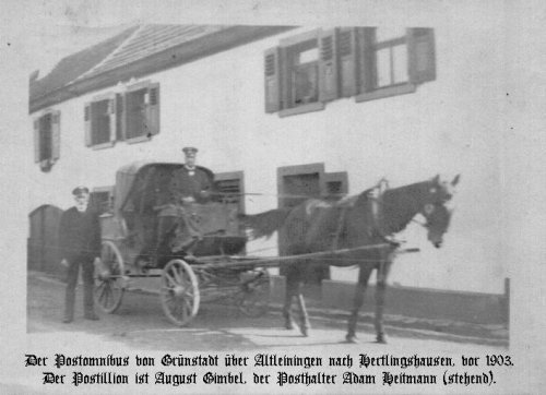
Carlsberg () is an ''Ortsgemeinde'' – a municipality belonging to a ''Verbandsgemeinde'', a kind of collective municipality – in the Bad Dürkheim district in Rhineland-Palatinate, Germany. Geography Location The municipality lies at the north edge of the Palatinate Forest between the Haardt range in the south and the Autobahn A 6 in the north in the ''Leiningerland'' at an elevation of 285 m above sea level. Carlsberg belongs to the ''Verbandsgemeinde'' of Leiningerland, whose seat is in Grünstadt. The outlying centre of Hertlingshausen lies in the northern Palatinate Forest and is crossed by the river Eckbach, which rises in the part of the municipal area known as ''Kleinfrankreich'' (“Little France”). Since Carlsberg is a scattered settlement, it is not possible to say where Hertlingshausen ends and the main centre begins. Constituent communities Carlsberg's ''Ortsteile'' are Carlsberg and Hertlingshausen. History In 1754, Carlsberg, originall ... [...More Info...] [...Related Items...] OR: [Wikipedia] [Google] [Baidu] |
Rhineland-Palatinate
Rhineland-Palatinate ( , ; german: link=no, Rheinland-Pfalz ; lb, Rheinland-Pfalz ; pfl, Rhoilond-Palz) is a western state of Germany. It covers and has about 4.05 million residents. It is the ninth largest and sixth most populous of the sixteen states. Mainz is the capital and largest city. Other cities are Ludwigshafen am Rhein, Koblenz, Trier, Kaiserslautern, Worms and Neuwied. It is bordered by North Rhine-Westphalia, Saarland, Baden-Württemberg and Hesse and by the countries France, Luxembourg and Belgium. Rhineland-Palatinate was established in 1946 after World War II, from parts of the former states of Prussia (part of its Rhineland and Nassau provinces), Hesse (Rhenish Hesse) and Bavaria (its former outlying Palatinate kreis or district), by the French military administration in Allied-occupied Germany. Rhineland-Palatinate became part of the Federal Republic of Germany in 1949 and shared the country's only border with the Saar Protectorate until the latter wa ... [...More Info...] [...Related Items...] OR: [Wikipedia] [Google] [Baidu] |
Ritterstein
A Ritterstein ("Ritter Stone") is the German name given to markers made of sandstone erected at sites of historic or natural interest in the Palatine Forest, a range of low mountains in the German state of Rhineland-Palatinate. In some cases, glacial erratics were used, in others, rocks or walls at the site were used on which to carve the information. The stones are typically inscribed with their name, a suitable symbol, the date they were erected, their height above sea level and the initials PWV for the ''Pfälzerwald-Verein'' or Palatine Forest Club, who set up and look after the stones. They are named after chief forester, Karl Albrecht von Ritter (died 1917), the founding chairman of the PWV, who initiated the system in the early 20th century. References Literature * * * External links * {{coord missing, Germany Palatinate Forest Monuments and memorials in Germany ... [...More Info...] [...Related Items...] OR: [Wikipedia] [Google] [Baidu] |
Mannheim
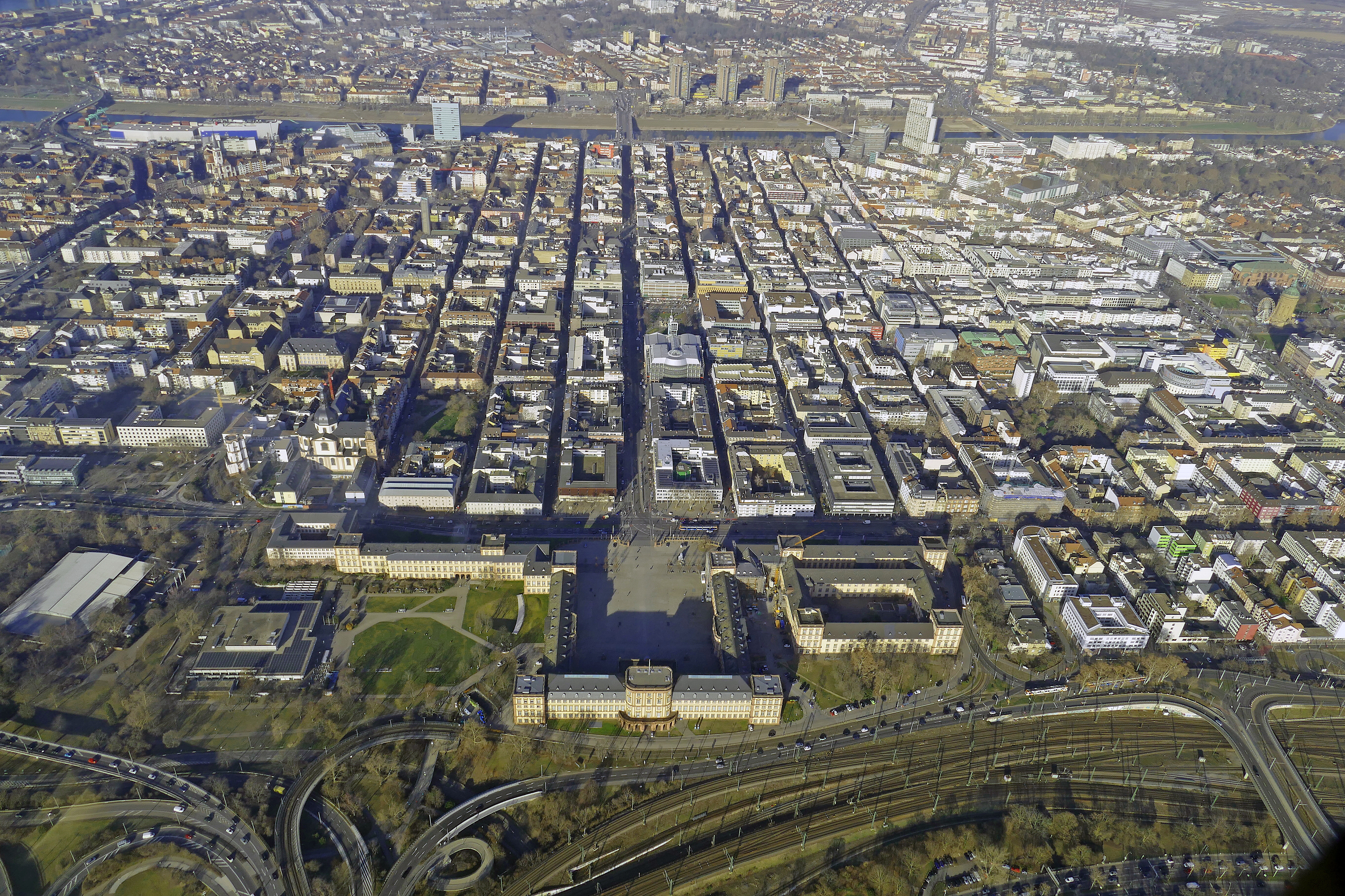
Mannheim (; Palatine German: or ), officially the University City of Mannheim (german: Universitätsstadt Mannheim), is the second-largest city in the German state of Baden-Württemberg after the state capital of Stuttgart, and Germany's 21st-largest city, with a 2020 population of 309,119 inhabitants. The city is the cultural and economic centre of the Rhine-Neckar Metropolitan Region, Germany's seventh-largest metropolitan region with nearly 2.4 million inhabitants and over 900,000 employees. Mannheim is located at the confluence of the Rhine and the Neckar in the Kurpfalz (Electoral Palatinate) region of northwestern Baden-Württemberg. The city lies in the Upper Rhine Plain, Germany's warmest region. Together with Hamburg, Mannheim is the only city bordering two other federal states. It forms a continuous conurbation of around 480,000 inhabitants with Ludwigshafen am Rhein in the neighbouring state of Rhineland-Palatinate, on the other side of the Rhine. Some northe ... [...More Info...] [...Related Items...] OR: [Wikipedia] [Google] [Baidu] |
Saarbrücken
Saarbrücken (; french: link=no, Sarrebruck ; Rhine Franconian: ''Saarbrigge'' ; lb, Saarbrécken ; lat, Saravipons, lit=The Bridge(s) across the Saar river) is the capital and largest city of the state of Saarland, Germany. Saarbrücken is Saarland's administrative, commercial and cultural centre and is next to the French border. The modern city of Saarbrücken was created in 1909 by the merger of three towns, Saarbrücken, St. Johann, and Malstatt-Burbach. It was the industrial and transport centre of the Saar coal basin. Products included iron and steel, sugar, beer, pottery, optical instruments, machinery, and construction materials. Historic landmarks in the city include the stone bridge across the Saar (1546), the Gothic church of St. Arnual, the 18th-century Saarbrücken Castle, and the old part of the town, the ''Sankt Johanner Markt'' (Market of St. Johann). In the 20th century, Saarbrücken was twice separated from Germany: from 1920 to 1935 as capit ... [...More Info...] [...Related Items...] OR: [Wikipedia] [Google] [Baidu] |
Bundesautobahn 6
, also known as Via Carolina (between Nuremberg and the Czech border continuing to Prague - by czech motorway D5) is a 477 km (296.4 mi) long German autobahn. It starts at the French border near Saarbrücken in the west and ends at the Czech border near Waidhaus in the east. The first plans for the A 6 were laid out in 1935; construction on several parts began in 1938. In 1940, construction near Mannheim was stopped when the bridge across the Rhine collapsed, killing many workers. A new bridge, the Theodor Heuss Bridge (Frankenthal), was opened in 1953. Other parts of the A 6 were completed in 1941. A part near Kaiserslautern was used as an airstrip by the Luftwaffe during World War II. After the war, it was taken over by US forces and became the Ramstein Air Base, while the A 6 was re-built south of the air base. In the 1960s, construction was continued. One new section cut through the Hockenheimring, requiring a major redesign of the race track whi ... [...More Info...] [...Related Items...] OR: [Wikipedia] [Google] [Baidu] |
Sandstone
Sandstone is a clastic sedimentary rock composed mainly of sand-sized (0.0625 to 2 mm) silicate grains. Sandstones comprise about 20–25% of all sedimentary rocks. Most sandstone is composed of quartz or feldspar (both silicates) because they are the most resistant minerals to weathering processes at the Earth's surface. Like uncemented sand, sandstone may be any color due to impurities within the minerals, but the most common colors are tan, brown, yellow, red, grey, pink, white, and black. Since sandstone beds often form highly visible cliffs and other topographic features, certain colors of sandstone have been strongly identified with certain regions. Rock formations that are primarily composed of sandstone usually allow the percolation of water and other fluids and are porous enough to store large quantities, making them valuable aquifers and petroleum reservoirs. Quartz-bearing sandstone can be changed into quartzite through metamorphism, usually related to ... [...More Info...] [...Related Items...] OR: [Wikipedia] [Google] [Baidu] |


Saunders_Quarry-1.jpg)