|
East Suffolk (district)
East Suffolk is a local government district in Suffolk, England, which was established on 1 April 2019, following the merger of the existing Suffolk Coastal and Waveney districts. At the 2011 census, the two districts had a combined population of 239,552. The main towns and villages in the district include Aldeburgh, Beccles, Bungay, Felixstowe, Framlingham, Halesworth, Leiston, Lowestoft, Saxmundham and Southwold as well parts of the wider Ipswich built-up area including Kesgrave, Martlesham and Woodbridge. The district covers a smaller area compared to the former administrative county of East Suffolk, which was abolished by the Local Government Act 1972. Governance As of the 2019 elections on 2 May, the composition of East Suffolk Council is as follows: See also *2019 structural changes to local government in England *West Suffolk West Suffolk may refer to the following places in Suffolk, England: * West Suffolk (county), a county until 1974 * West Suffolk District ... [...More Info...] [...Related Items...] OR: [Wikipedia] [Google] [Baidu] |
Greenwich Mean Time
Greenwich Mean Time (GMT) is the Local mean time, mean solar time at the Royal Observatory, Greenwich, Royal Observatory in Greenwich, London, counted from midnight. At different times in the past, it has been calculated in different ways, including being calculated from noon; as a consequence, it cannot be used to specify a particular time unless a context is given. The term 'GMT' is also used as Western European Time, one of the names for the time zone UTC+00:00 and, in UK law, is the basis for civil time in the United Kingdom. English speakers often use GMT as a synonym for Coordinated Universal Time (UTC). For navigation, it is considered equivalent to UT1 (the modern form of mean solar time at 0° longitude); but this meaning can differ from UTC by up to 0.9s. The term GMT should thus not be used for purposes that require precision. Because of Earth's uneven angular velocity in its elliptical orbit and its axial tilt, noon (12:00:00) GMT is rarely the exact moment the S ... [...More Info...] [...Related Items...] OR: [Wikipedia] [Google] [Baidu] |
Aldeburgh
Aldeburgh ( ) is a coastal town in the English county, county of Suffolk, England. Located to the north of the River Alde. Its estimated population was 2,276 in 2019. It was home to the composer Benjamin Britten and remains the centre of the international Aldeburgh Festival of arts at nearby Snape Maltings, which was founded by Britten in 1948.Aldeburgh Town Council Retrieved 9 January 2016.Archives Hub Retrieved 7 March 2019. It also hosts an annual poetry festival and several food festivals and other events. Aldeburgh, as a port, gained borough status in 1529 under Henry VIII. Its historic buildings include a 16th-centu ... [...More Info...] [...Related Items...] OR: [Wikipedia] [Google] [Baidu] |
Woodbridge, Suffolk
Woodbridge is a port and market town in the East Suffolk District, East Suffolk district of Suffolk, England. It is up the River Deben from the sea. It lies north-east of Ipswich and forms part of the wider Ipswich built-up area. The town is close to some major archaeological sites of the Anglo-Saxons, Anglo-Saxon period, including the Sutton Hoo burial ship, and had 35 households at the time of the ''Domesday Book'' of 1086. It is well known for its boating harbour and tide mill, on the edge of the Suffolk Coast and Heath Area of Outstanding Natural Beauty. Several festivals are held. As a "gem in Suffolk's crown", it has been named the best place to live in the East of England. Etymology Historians disagree over the etymology of Woodbridge. ''The Dictionary of British Placenames'' suggests that it is a combination of the Old English wudu (wood) and brycg (bridge). However in the Sutton Hoo Societies' magazine ''Saxon'' points out that is no suitable site for a bridge at Woodb ... [...More Info...] [...Related Items...] OR: [Wikipedia] [Google] [Baidu] |
Martlesham
Martlesham is a village in Suffolk, England about two miles (3 km) South-West of Woodbridge and East of Ipswich. It is often referred to as "old Martlesham" by locals in order to distinguish this old village from the much more recent Martlesham Heath development (1 km) to the south although both form a single administrative parish. Also at Martlesham Heath is BT's Research and Development Centre, now called Adastral Park. Martlesham was recorded in Domesday Book as ''Merlesham''. The history and meaning of the name are studied in a paper by Briggs. It probably means 'settlement (''hām'') near the mooring-place (''mǣrels'')'. History of Martlesham It is believed that there was a Roman settlement at Martlesham and in the parish there have been some 26 finds dating from the Roman occupation. These include pottery, brooches, coins and tesserae. Of particular note was the 19th century find of a small bronze statue of a horse on a plinth, bearing a Latin inscription ind ... [...More Info...] [...Related Items...] OR: [Wikipedia] [Google] [Baidu] |
Kesgrave
Kesgrave is a town in the English county of Suffolk on the eastern edge of Ipswich. Kesgrave forms part of the wider Ipswich Built-up area. History The area was recorded as ''Gressgrava'' in the Domesday Book, by the late 15th century its name had become Kesgrave. Kesgrave remained a small agricultural settlement with just a church, inn and a few farmsteads for over 700 years. In 1921 the population was only 103 housed in 20 dwellings. Since then great changes have taken place. By 1988 Kesgrave covered an area of more than . Kesgrave parish council officially adopted the title of a town in January 2000. Schools Kesgrave High School is a large 11-18 comprehensive co-educational school with nearly 2000 pupils. A study for Sustrans noted that 61% of the pupils cycled to the school. This is largely due to the installation of a large cycle lane through the local housing development and along the main road. The school actively encourages walking or cycling and provides bicycle st ... [...More Info...] [...Related Items...] OR: [Wikipedia] [Google] [Baidu] |
Ipswich
Ipswich () is a port town and borough in Suffolk, England, of which it is the county town. The town is located in East Anglia about away from the mouth of the River Orwell and the North Sea. Ipswich is both on the Great Eastern Main Line railway and the A12 road; it is north-east of London, east-southeast of Cambridge and south of Norwich. Ipswich is surrounded by two Areas of Outstanding Natural Beauty (AONB): Suffolk Coast and Heaths and Dedham Vale. Ipswich's modern name is derived from the medieval name ''Gippeswic'', probably taken either from an Anglo-Saxon personal name or from an earlier name given to the Orwell Estuary (although possibly unrelated to the name of the River Gipping). It has also been known as ''Gyppewicus'' and ''Yppswyche''. The town has been continuously occupied since the Saxon period, and is contested to be one of the oldest towns in the United Kingdom.Hills, Catherine"England's Oldest Town" Retrieved 2 August 2015. Ipswich was a settleme ... [...More Info...] [...Related Items...] OR: [Wikipedia] [Google] [Baidu] |
Southwold
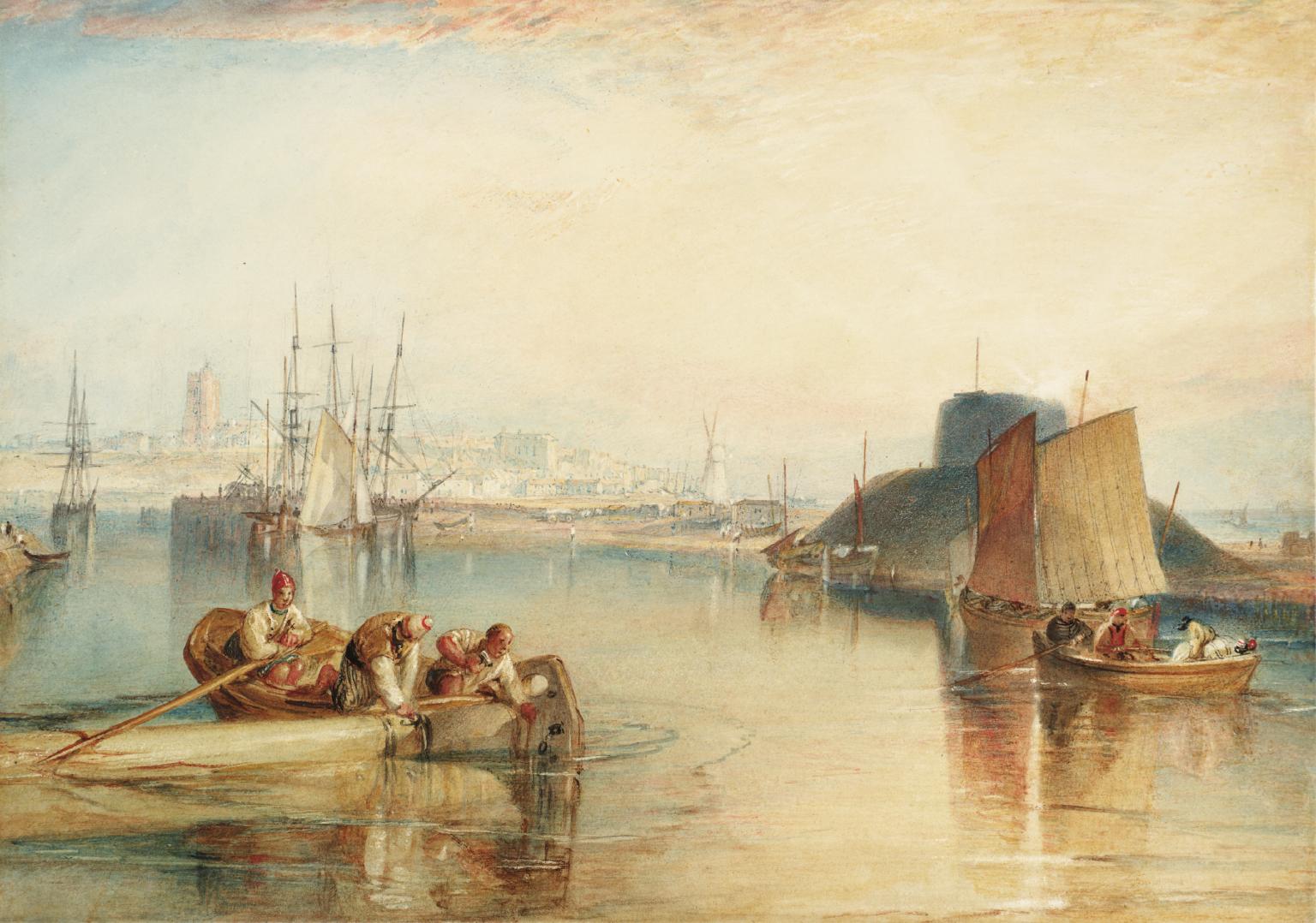
Southwold is a seaside town and civil parish on the English North Sea coast in the East Suffolk district of Suffolk. It lies at the mouth of the River Blyth within the Suffolk Coast and Heaths Area of Outstanding Natural Beauty. The town is about south of Lowestoft, north-east of Ipswich and north-east of London, within the parliamentary constituency of Suffolk Coastal. The "All Usual Residents" 2011 Census figure gives a total of 1,098 persons for the town. The 2012 Housing Report by the Southwold and Reydon Society concluded that 49 per cent of the dwellings are used as second homes or let to holiday-makers. History Southwold was mentioned in ''Domesday Book'' (1086) as a fishing port, and after the "capricious River Blyth withdrew from Dunwich in 1328, bringing trade to Southwold in the 15th century", it received its town charter from Henry VII in 1489. The grant of the charter is marked by the annual Trinity Fair, when it is read out by the Town Clerk. Over following ... [...More Info...] [...Related Items...] OR: [Wikipedia] [Google] [Baidu] |
Saxmundham
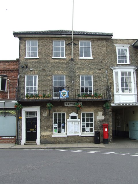
Saxmundham ( ) is a market town in Suffolk, England, set in the valley of the River Fromus about north-east of Ipswich and west of the coast at Sizewell. The town is bypassed by the main A12 road between London and Lowestoft. The town is served by Saxmundham railway station on the East Suffolk Line between Ipswich and Lowestoft. Governance Saxmundham Town Council comes under East Suffolk District. It was previously in Suffolk Coastal District before April 2019. The district electoral ward also has the name Saxmundham. Its population at the 2011 census was 4,913. As of December 2022, Saxmundham Town Council consisted of ten councillors. Heritage The place-name Saxmundham is first attested in the Domesday Book of 1086 as ''Sasmunde(s)ham''. It appears as ''Saxmundham'' in the Feet of Fines of 1213. The name denotes "Seaxmund's village or estate". The Parish Church of St John the Baptist dates back to the 11th century. Some features remain from the medieval period, but ... [...More Info...] [...Related Items...] OR: [Wikipedia] [Google] [Baidu] |
Lowestoft
Lowestoft ( ) is a coastal town and civil parish in the East Suffolk district of Suffolk, England.OS Explorer Map OL40: The Broads: (1:25 000) : . As the most easterly UK settlement, it is north-east of London, north-east of Ipswich and south-east of Norwich, and the main town in its district. The estimated population in the built-up area exceeds 70,000. Its development grew with the fishing industry and as a seaside resort with wide sandy beaches. As fishing declined, oil and gas exploitation in the North Sea in the 1960s took over. While these too have declined, Lowestoft is becoming a regional centre of the renewable energy industry. History Some of the earliest signs of settlement in Britain have been found here. Flint tools discovered in the Pakefield cliffs of south Lowestoft in 2005 allow human habitation of the area to be traced back 700,000 years.S. Parfitt et al. (2006'700,000 years old: found in Pakefield', ''British Archaeology'', January/February 2006. Retrieve ... [...More Info...] [...Related Items...] OR: [Wikipedia] [Google] [Baidu] |
Leiston
Leiston ( ) is an English town in the East Suffolk non-metropolitan district of Suffolk, near Saxmundham and Aldeburgh, about from the North Sea coast, north-east of Ipswich and north-east of London. The town had a population of 5,508 at the 2011 Census. History The 14th-century remains of Leiston Abbey lie north-west of the town.Leiston Abbey English Heritage. Retrieved 30 March 2011. Leiston thrived in the late 19th and early 20th centuries as a manufacturing town, dominated by , owners of Leiston Works, which boasted the world's first flow assembly line, for the manufacture of |
Halesworth
Halesworth is a market town, civil parish and electoral ward in north-eastern Suffolk, England. The population stood at 4,726 in the 2011 Census. It lies south-west of Lowestoft, on a tributary of the River Blyth, upstream from Southwold. The town is served by Halesworth railway station on the Ipswich–Lowestoft East Suffolk Line. It is twinned with Bouchain in France and Eitorf in Germany. Nearby villages include Cratfield, Wissett, Chediston, Walpole, Blyford, Linstead Parva, Wenhaston, Thorington, Spexhall, Bramfield, Huntingfield, Cookley and Holton. History A Roman settlement, Halesworth has a medieval church; St Mary's with Victorian additions and a variety of houses, from early timber-framed buildings to the remnants of Victorian prosperity. Former almshouses used to house the Halesworth & District Museum (open from May to September) but this has now been moved to Halesworth railway station. There is a Town Trail walk. The place-name 'Halesworth' is fir ... [...More Info...] [...Related Items...] OR: [Wikipedia] [Google] [Baidu] |
Framlingham
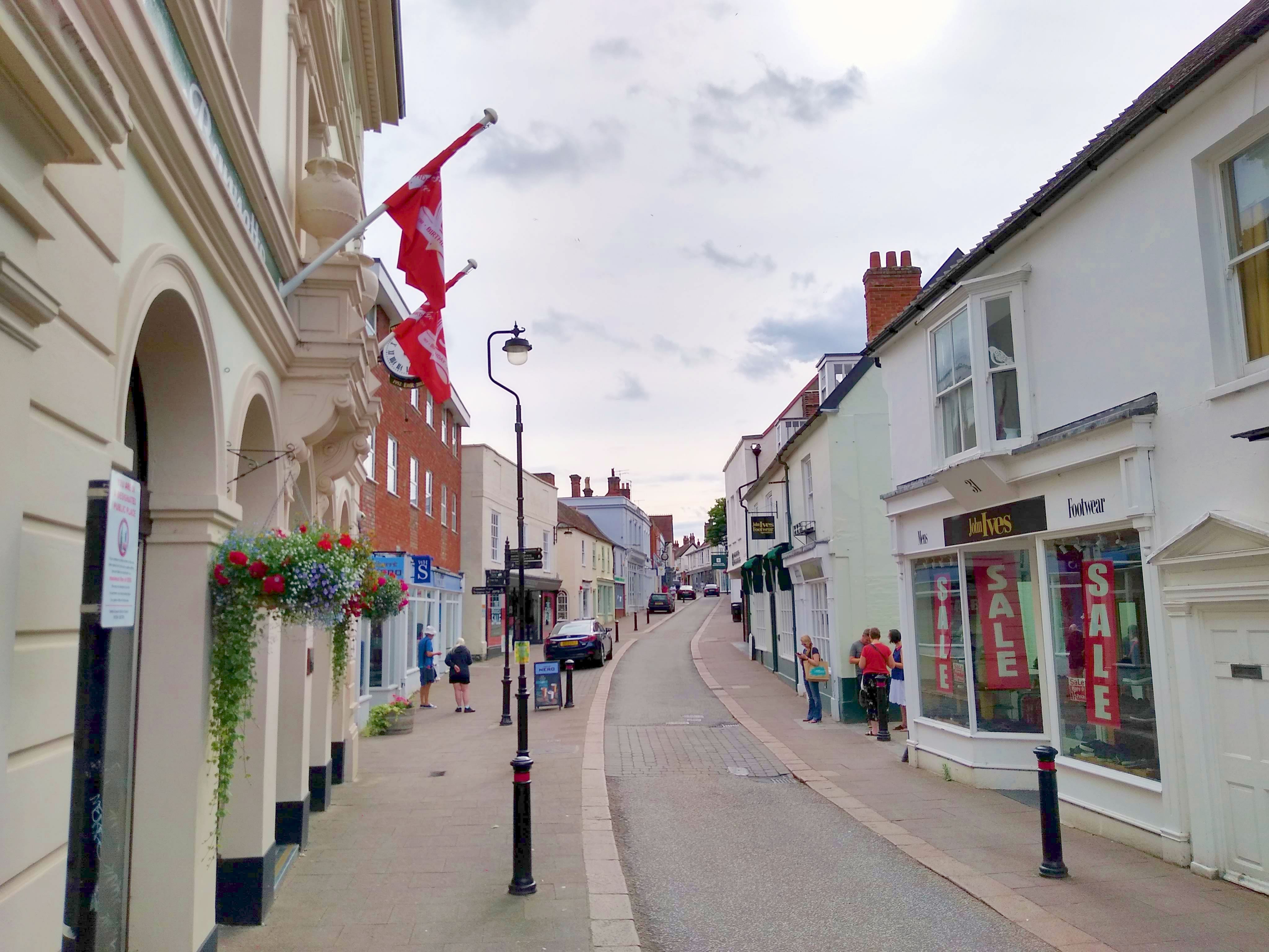
Framlingham is a market town and civil parishes in England, civil parish in Suffolk, England. Of Anglo-Saxons, Anglo-Saxon origin, it appears in the 1086 Domesday Book. The parish had a population of 3,342 at the 2011 Census and an estimated 4,016 in 2019. Nearby villages include Earl Soham, Kettleburgh, Parham, Suffolk, Parham, Saxtead and Sweffling. Governance An Wards and electoral divisions of the United Kingdom, electoral ward of the same name exists. The parish stretches north-east to Brundish with a total ward population taken at the 2011 Census of 4,744. Features Framlingham's history can be traced to an entry in the Domesday Book (1086) when it then consisted of several manors. The medieval Framlingham Castle is a major feature and tourist attraction for the area, managed by English Heritage. Mary I of England, Mary Tudor (daughter of Henry VIII of England, Henry VIII and his first wife Catherine of Aragon) was proclaimed the first Queen of England there in 1553. It ... [...More Info...] [...Related Items...] OR: [Wikipedia] [Google] [Baidu] |


