|
East Blackdene
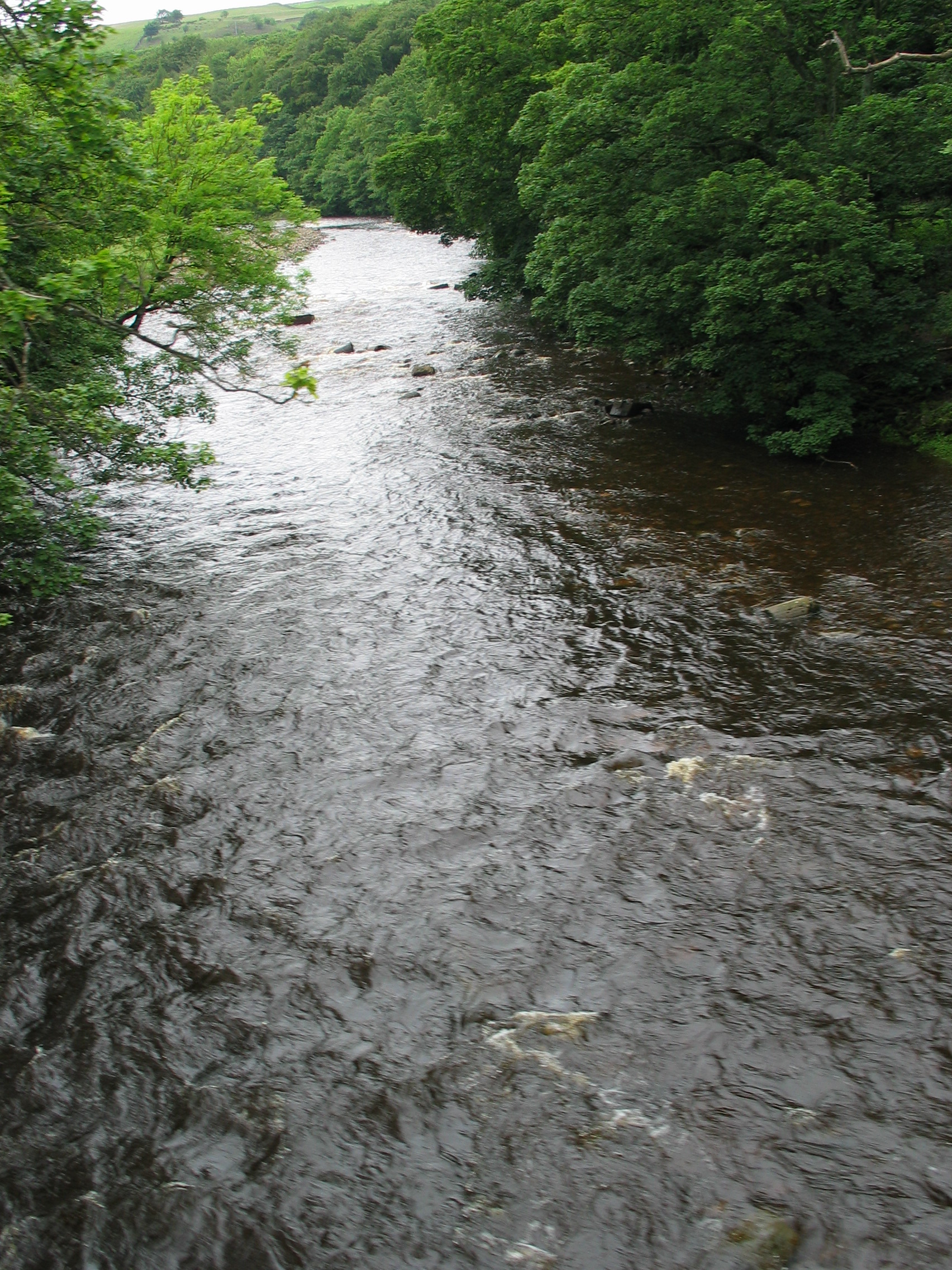
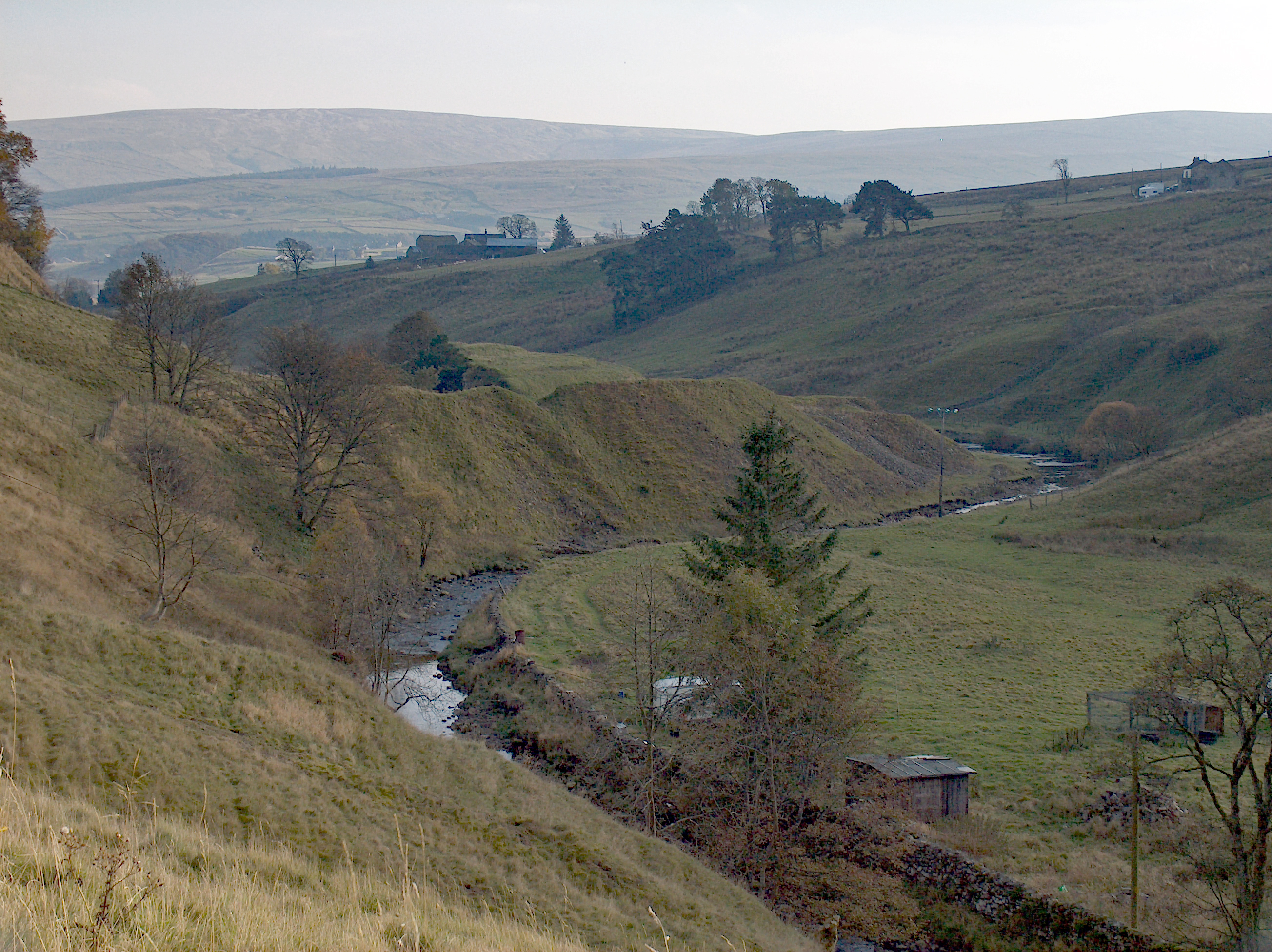
East Blackdene is a hamlet in County Durham, in England. It is situated to the north of the River Wear, on the opposite side of Weardale Weardale is a dale, or valley, on the east side of the Pennines in County Durham, England. Large parts of Weardale fall within the North Pennines Area of Outstanding Natural Beauty (AONB) – the second-largest AONB in England and Wales. T ... from St John's Chapel. References Hamlets in County Durham Stanhope, County Durham {{Durham-geo-stub ... [...More Info...] [...Related Items...] OR: [Wikipedia] [Google] [Baidu] |
County Durham
County Durham ( ), officially simply Durham,UK General Acts 1997 c. 23Lieutenancies Act 1997 Schedule 1(3). From legislation.gov.uk, retrieved 6 April 2022. is a ceremonial county in North East England.North East Assembly �About North East England. Retrieved 30 November 2007. The ceremonial county spawned from the historic County Palatine of Durham in 1853. In 1996, the county gained part of the abolished ceremonial county of Cleveland.Lieutenancies Act 1997 . Retrieved 27 October 2014. The county town is the of |
County Durham (district)
County Durham is a unitary authority in the ceremonial county of Durham, North East England. It covers the former non-metropolitan county and its seven districts: Durham (city), Easington, Sedgefield (borough), Teesdale, Wear Valley, Derwentside, and Chester-le-Street. It is governed by Durham County Council and has 136 civil parishes. The district is in a ceremonial county with three boroughs: Borough of Darlington, Borough of Hartlepool & Borough of Stockton-on-Tees (area north of the River Tees). The area is 2,232.6 km2 (862 sq m). History The district was created on the 1 April 2009, following the merger of all the borough and districts (Excluding the boroughs of Darlington, Hartlepool and Stockton-on-Tees) which were already unitary authorities and the towns of Gateshead, Jarrow, South Shields and the city of Sunderland were already part of the Tyne and Wear metropolitan county from 1974. Geography The district has multiple hamlets and villages. Settlements with town ... [...More Info...] [...Related Items...] OR: [Wikipedia] [Google] [Baidu] |
Stanhope, County Durham
Stanhope is a market town and civil parish in the County Durham district, in the ceremonial county of Durham, England. It lies on the River Wear between Eastgate and Frosterley, in the north-east of Weardale. The main A689 road over the Pennines is crossed by the B6278 between Barnard Castle and Shotley Bridge. In 2001 Stanhope had a population of 1,633, in 2019 an estimate of 1,627, and a figure of 1,602 in the 2011 census for the ONS built-up-area which includes Crawleyside. In 2011 the parish population was 4,581. Civil parish The civil parish includes the settlements of Cornriggs, Cowshill, Daddry Shield, Eastgate, Frosterley, Ireshopeburn, Lanehead, St John's Chapel, Wearhead and Westgate, all on the A689 road, and also Bollihope, Bridge End, Brotherlee, Copthill, Crawleyside, East Blackdene, Hill End, Lintzgarth, New House, Rookhope and West Blackdene. Other places it includes are Killhope, Shittlehope, Unthank and White Kirkley. This gives it the lar ... [...More Info...] [...Related Items...] OR: [Wikipedia] [Google] [Baidu] |
England
England is a country that is part of the United Kingdom. It shares land borders with Wales to its west and Scotland to its north. The Irish Sea lies northwest and the Celtic Sea to the southwest. It is separated from continental Europe by the North Sea to the east and the English Channel to the south. The country covers five-eighths of the island of Great Britain, which lies in the North Atlantic, and includes over 100 smaller islands, such as the Isles of Scilly and the Isle of Wight. The area now called England was first inhabited by modern humans during the Upper Paleolithic period, but takes its name from the Angles, a Germanic tribe deriving its name from the Anglia peninsula, who settled during the 5th and 6th centuries. England became a unified state in the 10th century and has had a significant cultural and legal impact on the wider world since the Age of Discovery, which began during the 15th century. The English language, the Anglican Church, and Engli ... [...More Info...] [...Related Items...] OR: [Wikipedia] [Google] [Baidu] |
River Wear
The River Wear (, ) in North East England rises in the Pennines and flows eastwards, mostly through County Durham to the North Sea in the City of Sunderland. At long, it is one of the region's longest rivers, wends in a steep valley through the cathedral city of Durham and gives its name to Weardale in its upper reach and Wearside by its mouth. Etymology The origin behind the hydronym ''Wear'' is uncertain but is generally understood to be Celtic. The ''River Vedra'' on the Roman Map of Britain may very well be the River Wear. The name may be derived from Brittonic ''*wejr'' (<''*wẹ:drā''), which meant "a bend" (c.f ''-gwair-''). An alternative but very problematic etymology might involve ''*wẹ:d-r-'', from a lengthened form of the |
Weardale
Weardale is a dale, or valley, on the east side of the Pennines in County Durham, England. Large parts of Weardale fall within the North Pennines Area of Outstanding Natural Beauty (AONB) – the second-largest AONB in England and Wales. The upper dale is surrounded by high fells (up to O.D. at Burnhope Seat) and heather grouse moors. The River Wear flows through Weardale before reaching Bishop Auckland and then Durham, meeting the sea at Sunderland. The Wear Valley local government district covered the upper part of the dale, including Weardale, between 1974 and 2009, when it was abolished on County Durham's becoming a unitary authority. (From 1894 to 1974 there was a Weardale Rural District.) Upper Weardale is in the parliamentary constituency of North West Durham. The dale's principal settlements include St John's Chapel and the towns of Crook, Stanhope and Wolsingham. Local climate Weardale's winters are typically harsh and prolonged with regular snow, nowadays ta ... [...More Info...] [...Related Items...] OR: [Wikipedia] [Google] [Baidu] |
St John's Chapel, County Durham
St John's Chapel is a village in County Durham, in England. It is situated in Weardale, on the south side of the River Wear on the A689 road between Daddry Shield and Ireshopeburn. The 2001 census reported a population of 307, of whom only 43 were children under 16. In 1980 there were 160 children in the village. The village has its own primary school, which in 2014 was graded at "outstanding" by Ofsted. The nearest secondary schools are in Alston (12 miles) and Wolsingham (14 miles). The nearest swimming pool is 14 miles away and the nearest library is 22 miles away. This population makes the village marginal in terms of thresholds for service provision. Although the population of the ward (1,446, including surrounding hamlets) has remained fairly stable for 30 years, this masks the out-migration mainly of the younger generation affecting the population structure. Although this area has a high quality of life with low pollution and crime rates, in 2001 16 residents were unem ... [...More Info...] [...Related Items...] OR: [Wikipedia] [Google] [Baidu] |
Hamlets In County Durham
A hamlet is a human settlement that is smaller than a town or village. Its size relative to a parish can depend on the administration and region. A hamlet may be considered to be a smaller settlement or subdivision or satellite entity to a larger settlement. The word and concept of a hamlet has roots in the Anglo-Norman settlement of England, where the old French ' came to apply to small human settlements. Etymology The word comes from Anglo-Norman ', corresponding to Old French ', the diminutive of Old French ' meaning a little village. This, in turn, is a diminutive of Old French ', possibly borrowed from (West Germanic) Franconian languages. Compare with modern French ', Dutch ', Frisian ', German ', Old English ' and Modern English ''home''. By country Afghanistan In Afghanistan, the counterpart of the hamlet is the qala (Dari: قلعه, Pashto: کلي) meaning "fort" or "hamlet". The Afghan ''qala'' is a fortified group of houses, generally with its own commu ... [...More Info...] [...Related Items...] OR: [Wikipedia] [Google] [Baidu] |


