|
Do Coco River
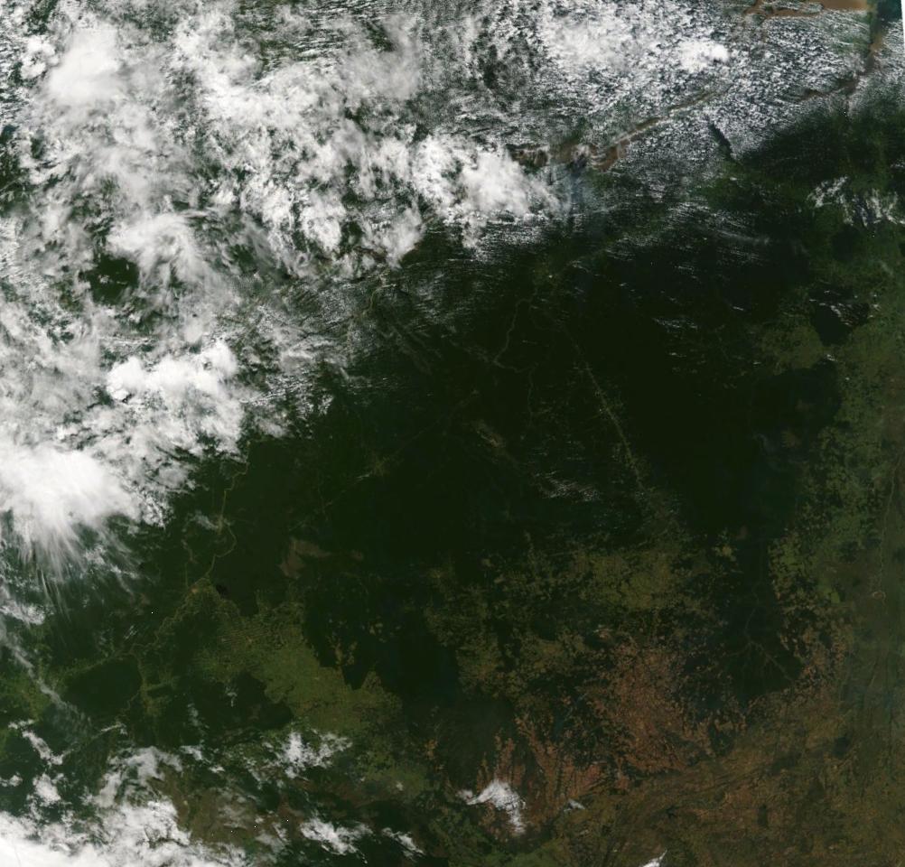
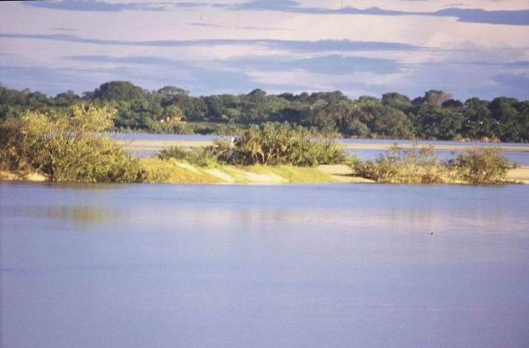
The Coco River ( pt, Rio do Coco) is a river of Tocantins state in central Brazil. It is a tributary of the Araguaia River. Lower course The lower portion of the Coco River forms the eastern boundary of the Cantão State Park, and the western boundary of the Ilha do Bananal/Cantão Environmental Protection Area. This section was probably originally a meander of the Javaés River, in turn a branch of the Araguaia. The frequently flooded Cantão region between the Coco and Araguaia rivers holds an ecotone between the Amazon and Cerrado biomes. See also *List of rivers of Tocantins List of rivers in Tocantins (Brazilian State). The list is arranged by drainage basin, with respective tributaries indented under each larger stream's name and ordered from downstream to upstream. The Tocantins state is located entirely within the ... References Sources * Rivers of Tocantins {{Tocantins-river-stub ... [...More Info...] [...Related Items...] OR: [Wikipedia] [Google] [Baidu] |
Tocantins
Tocantins () is one of the 26 states of Brazil. It is the newest state, formed in 1988 and encompassing what had formerly been the northern two-fifths of the state of Goiás. Tocantins covers and had an estimated population of 1,496,880 in 2014. Construction of its capital, Palmas, began in 1989; most of the other cities in the state date to the Portuguese colonial period. With the exception of Araguaína, there are few other cities with a significant population in the state. The government has invested in a new capital, a major hydropower dam, railroads and related infrastructure to develop this primarily agricultural area. The state has 0.75% of the Brazilian population and is responsible for 0.5% of the Brazilian GDP. Tocantins has attracted hundreds of thousands of new residents, primarily to Palmas. It is building on its hydropower resources. The Araguaia and Tocantins rivers drain the largest watershed that lies entirely inside Brazilian territory. The Rio Tocantins ... [...More Info...] [...Related Items...] OR: [Wikipedia] [Google] [Baidu] |
Brazil
Brazil ( pt, Brasil; ), officially the Federative Republic of Brazil (Portuguese: ), is the largest country in both South America and Latin America. At and with over 217 million people, Brazil is the world's fifth-largest country by area and the seventh most populous. Its capital is Brasília, and its most populous city is São Paulo. The federation is composed of the union of the 26 States of Brazil, states and the Federal District (Brazil), Federal District. It is the largest country to have Portuguese language, Portuguese as an List of territorial entities where Portuguese is an official language, official language and the only one in the Americas; one of the most Multiculturalism, multicultural and ethnically diverse nations, due to over a century of mass Immigration to Brazil, immigration from around the world; and the most populous Catholic Church by country, Roman Catholic-majority country. Bounded by the Atlantic Ocean on the east, Brazil has a Coastline of Brazi ... [...More Info...] [...Related Items...] OR: [Wikipedia] [Google] [Baidu] |
Araguaia River
The Araguaia River ( pt, Rio Araguaia , Karajá: ♂ ''Berohokỹ'' eɾohoˈkə̃ ♀ ''Bèrakuhukỹ'' ɛɾakuhuˈkə̃ is one of the major rivers of Brazil though it is almost equal in volume at its confluence with the Tocantins. It has a total length of approximately 2,627 km. Geography The Araguaia River comes from Goiás-Mato Grosso south borders. From there it flows northeast to a junction with the Tocantins near the town of São João. Along its course, the river forms the border between the states of Goiás, Mato Grosso, Tocantins and Pará. Roughly in the middle of its course the Araguaia splits into two forks (with the western one retaining the name Araguaia and the eastern one being called the Javaés River). These later reunite, forming the Ilha do Bananal, the world's largest river island. The vein of the Javaés forms a broad inland where it pours back into the main Araguaia, a 100,000 hectare expanse of igapós or flooded forest, blackwater river channels, an ... [...More Info...] [...Related Items...] OR: [Wikipedia] [Google] [Baidu] |
Cantão State Park
The Cantão State Park ( pt, Parque Estadual do Cantão) is a state park in the state of Tocantins, Brazil. It protects the Cantão wetlands, an area of igapó flooded forest in the ecotone where the Amazon rainforest merges into the cerrado. Location The Cantão State Park is located in the municipality of Pium, Tocantins. It has an area of . The park is bounded to the west by the Araguaia River, which forms the border with the state of Pará. The Javaés River separates the state park from the Araguaia National Park to the south. It is bounded by the Ilha do Bananal / Cantão Environmental Protection Area to the east. The park would be in the proposed South Amazon Ecotones Ecological Corridor. History The Cantão State Park was created by state law 996 of 14 July 1998 with an area of . The primary purpose is protecting fauna, flora and natural resources with tourism potential to ensure their rational, sustainable use compatible with preserving the local ecosystems. The delib ... [...More Info...] [...Related Items...] OR: [Wikipedia] [Google] [Baidu] |
Ilha Do Bananal/Cantão Environmental Protection Area , an island and populated place of the coast of mainland Mozambique
{{geodis ...
Ilha (Portuguese for "island") may refer to the following places in Portugal or Mozambique: *Ilha (Santana), a parish in the municipality of Santana, Madeira *Ilha (Pombal), a former parish in the municipality of Pombal *Island of Mozambique The Island of Mozambique ( pt, Ilha de Moçambique) lies off northern Mozambique, between the Mozambique Channel and Mossuril Bay, and is part of Nampula Province. Prior to 1898, it was the capital of colonial Portuguese East Africa. With its ric ... [...More Info...] [...Related Items...] OR: [Wikipedia] [Google] [Baidu] |
Javaés River
The Javaés River ( pt, Rio Javaés or ''Braço Menor do Rio Araguaia'', Karajá language, Javaé: ♂ ''Bero Biòwa'' [beˈɾo bɪɔˈwa], ♀ ''Bèraku Bikòwa'' [bɛɾaˈku bɪkɔˈwa]) is a river of Tocantins state in central Brazil. It is a tributary of the Araguaia River. The Javaés River separates the Cantão State Park to the north from the Araguaia National Park to the south. See also *List of rivers of Tocantins References Rivers of Tocantins {{Tocantins-river-stub ... [...More Info...] [...Related Items...] OR: [Wikipedia] [Google] [Baidu] |
Cantão
Cantão is a tropical forest ecosystem located in the central Araguaia river basin, the southeastern edge of the Amazon biome, in the Brazilian state of Tocantins. It is one of the biologically richest areas of the eastern Amazon, with over 700 species of birds, nearly 300 species of fish (more than in all of Europe), and large populations of endangered species such as the giant otter and the black cayman. About 90% of the Cantão ecosystem is protected within Cantão State Park. Ecological importance Due to its geographical location and topography, the Cantão ecosystem combines several unique features that contribute to its high biodiversity and productivity: *It is located at the ecotone between the cerrado and Amazon biomes of Brazil. The cerrado has the highest biodiversity of all the world's savannas, and the Amazon has the highest rainforest diversity. At the Cantão region, this ecotone is particularly sharp, resulting in species from both biomes coexisting within a ... [...More Info...] [...Related Items...] OR: [Wikipedia] [Google] [Baidu] |
Ecotone
An ecotone is a transition area between two biological communities, where two communities meet and integrate. It may be narrow or wide, and it may be local (the zone between a field and forest) or regional (the transition between forest and grassland ecosystems). An ecotone may appear on the ground as a gradual blending of the two communities across a broad area, or it may manifest itself as a sharp boundary line. Etymology The word ''ecotone'' was coined by Alfred Russel Wallace, who first observed the abrupt boundary between two biomes in 1859. It is formed as a combination of ''ecology'' plus ''-tone'', from the Greek ''tonos'' or tension – in other words, a place where ecologies are in tension. Features There are several distinguishing features of an ecotone. First, an ecotone can have a sharp vegetation transition, with a distinct line between two communities. For example, a change in colors of grasses or plant life can indicate an ecotone. Second, a change in physiogn ... [...More Info...] [...Related Items...] OR: [Wikipedia] [Google] [Baidu] |
List Of Rivers Of Tocantins
List of rivers in Tocantins (Brazilian State). The list is arranged by drainage basin, with respective tributaries indented under each larger stream's name and ordered from downstream to upstream. The Tocantins state is located entirely within the Tocantins drainage basin. By Drainage Basin * Tocantins River ** Araguaia River *** Piranhas River (lower) *** Lontra River *** Muricizal River *** Das Cunhãs River *** Juari River *** Barreiros River *** Bananal River *** Piranhas River (upper) *** Caiapó River **** Caiapozinho River *** Do Coco River *** Braço Menor do Rio Araguaia River (Javaés River) **** Lever River (Itaberaí River) **** Pium River ***** Riozinho River **** Formoso River (Cristalino River) ***** Urubu Grande River (Das Pedras River) ***** Dueré River ***** Xavante River ***** Piaus River ****** Escuro River ***** Pau-Seco River **** Riozinho River ***** Rondi Toró River ***** Jaburu River ***** Imuti River **** Do Fogo River **** ... [...More Info...] [...Related Items...] OR: [Wikipedia] [Google] [Baidu] |


