|
Darsham, Suffolk
Darsham is a village in Suffolk, England. It is located approximately north east of Saxmundham. The village is bypassed by the A12 and is served by Darsham railway station, which is approximately one mile away from the village centre, on the Ipswich-Lowestoft East Suffolk Line. The name of the village of Darsham derives from Deores Ham — home of the deer. This name is borne out by early reference to local roadways as chaseways. There was hunting in this area as late as the 18th century. Darsham is a mixed community with six farms. The village still has a pub, The Fox, however over the past few years the village has lost its school, shop and post office. The garage on the A12, now primarily a petrol station, has a cafe and a shop. There is also a farm shop, a handmade tile factory, a pottery, a builder, an irrigation contractor, seed and feed merchants and a cafe, a private nursing home and a plant nursery with a shop and restaurant. History The village gave its name to ... [...More Info...] [...Related Items...] OR: [Wikipedia] [Google] [Baidu] |
Saxmundham
Saxmundham ( ) is a market town in Suffolk, England, set in the valley of the River Fromus about north-east of Ipswich and west of the coast at Sizewell. The town is bypassed by the main A12 road between London and Lowestoft. The town is served by Saxmundham railway station on the East Suffolk Line between Ipswich and Lowestoft. Governance Saxmundham Town Council comes under East Suffolk District. It was previously in Suffolk Coastal District before April 2019. The district electoral ward also has the name Saxmundham. Its population at the 2011 census was 4,913. As of December 2022, Saxmundham Town Council consisted of ten councillors. Heritage The place-name Saxmundham is first attested in the Domesday Book of 1086 as ''Sasmunde(s)ham''. It appears as ''Saxmundham'' in the Feet of Fines of 1213. The name denotes "Seaxmund's village or estate". The Parish Church of St John the Baptist dates back to the 11th century. Some features remain from the medieval period, but ... [...More Info...] [...Related Items...] OR: [Wikipedia] [Google] [Baidu] |
Halesworth
Halesworth is a market town, civil parish and electoral ward in north-eastern Suffolk, England. The population stood at 4,726 in the 2011 Census. It lies south-west of Lowestoft, on a tributary of the River Blyth, upstream from Southwold. The town is served by Halesworth railway station on the Ipswich–Lowestoft East Suffolk Line. It is twinned with Bouchain in France and Eitorf in Germany. Nearby villages include Cratfield, Wissett, Chediston, Walpole, Blyford, Linstead Parva, Wenhaston, Thorington, Spexhall, Bramfield, Huntingfield, Cookley and Holton. History A Roman settlement, Halesworth has a medieval church; St Mary's with Victorian additions and a variety of houses, from early timber-framed buildings to the remnants of Victorian prosperity. Former almshouses used to house the Halesworth & District Museum (open from May to September) but this has now been moved to Halesworth railway station. There is a Town Trail walk. The place-name 'Halesworth' is fir ... [...More Info...] [...Related Items...] OR: [Wikipedia] [Google] [Baidu] |
County Wildlife Site
County Wildlife Site (often abbreviated to CWS) is a conservation designation in the United Kingdom, which despite conferring no statutory protection onto a site, does affirm a site's importance and value for wildlife in its county context. The designation is classified by Natural England (the non-departmental public body of the UK government responsible for ensuring that England's natural environment is protected) as being a 'Local Site' designation, though sites can also be of a regional and national importance. Whilst the exact details of the selection process differ from county to county, in general local Wildlife Trusts, local authorities and other local wildlife/environmental/conservation groups collaborate to select and designate sites. Species in County Wildlife Sites are often also in that county's or the United Kingdom's national Biodiversity Action Plan. At least 40,000 sites have been established across Britain.Hill.D (2005) ''Handbook of Biodiversity Methods: Survey ... [...More Info...] [...Related Items...] OR: [Wikipedia] [Google] [Baidu] |
Minsmere River
Minsmere River is a river in the English county of Suffolk which flows into the North Sea at Minsmere. The river is formed from the River Yox at Yoxford before flowing through Middleton, Eastbridge and Minsmere. It flows to the south of Minsmere RSPB reserve helping to form many of the wetland habitats at the reserve. The river valley was largely drained and used as agricultural land in the past.Coastal levels Suffolk Landscape Character Typology, ''Suffolk County Council''. Retrieved 2012-10-31. The original course of the river, the Minsmere Old River, runs to the north of the Minsmere New Cut, an artificial drainage channel built in 1812. This reaches the sea at Minsmere Sluice, a tidal sluice which discharges water from the channels into the sea. [...More Info...] [...Related Items...] OR: [Wikipedia] [Google] [Baidu] |
Suffolk Wildlife Trust
Suffolk Wildlife Trust (SWT) describes itself as the county's "nature charity – the only organisation dedicated wholly to safeguarding Suffolk's wildlife and countryside." It is a registered charity, and its headquarters is at Brooke House in Ashbocking, near Ipswich. It was founded in 1961,About us , Suffolk Wildlife Trust. Retrieved 3 March 2014. and is one of 46 covering the . As of March 2017, it has 13,200 members, and it manages of land in 60 nature reserves, most of whi ... [...More Info...] [...Related Items...] OR: [Wikipedia] [Google] [Baidu] |
Nature Reserve
A nature reserve (also known as a wildlife refuge, wildlife sanctuary, biosphere reserve or bioreserve, natural or nature preserve, or nature conservation area) is a protected area of importance for flora, fauna, or features of geological or other special interest, which is reserved and managed for purposes of conservation and to provide special opportunities for study or research. They may be designated by government institutions in some countries, or by private landowners, such as charities and research institutions. Nature reserves fall into different IUCN categories depending on the level of protection afforded by local laws. Normally it is more strictly protected than a nature park. Various jurisdictions may use other terminology, such as ecological protection area or private protected area in legislation and in official titles of the reserves. History Cultural practices that roughly equate to the establishment and maintenance of reserved areas for animals date bac ... [...More Info...] [...Related Items...] OR: [Wikipedia] [Google] [Baidu] |
Darsham Marshes
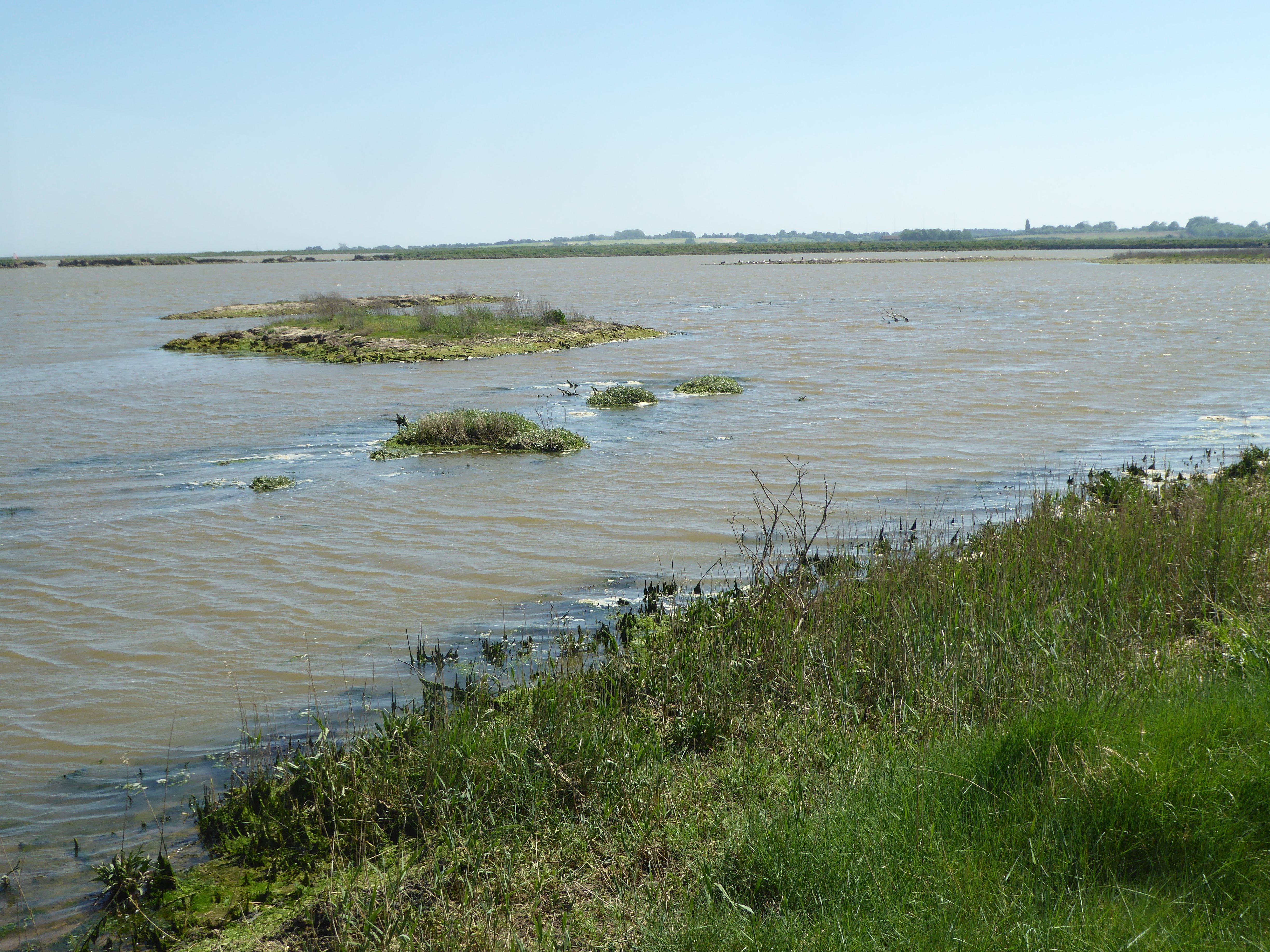
Darsham Marshes is a 20 hectare nature reserve south of Darsham in Suffolk, England. It is owned and managed by the Suffolk Wildlife Trust. This marsh and fen site has two ponds and a network of dykes. The wildlife is diverse and flowering plants include ragged-robin, yellow flag, marsh marigold and southern marsh orchid. There are birds such as marsh harriers and hen harriers, and mammals include otters Otters are carnivorous mammals in the subfamily Lutrinae. The 13 extant otter species are all semiaquatic, aquatic, or marine, with diets based on fish and invertebrates. Lutrinae is a branch of the Mustelidae family, which also includes wea ... and water voles. There is access from Westleton Road. References {{Suffolk Wildlife Trust Suffolk Wildlife Trust ... [...More Info...] [...Related Items...] OR: [Wikipedia] [Google] [Baidu] |
Chain Home
Chain Home, or CH for short, was the codename for the ring of coastal Early Warning radar stations built by the Royal Air Force (RAF) before and during the Second World War to detect and track aircraft. Initially known as RDF, and given the official name Air Ministry Experimental Station Type 1 (AMES Type 1) in 1940, the radar units themselves were also known as Chain Home for most of their life. Chain Home was the first early warning radar network in the world, and the first military radar system to reach operational status. Its effect on the outcome of the war made it one of the most powerful weapons of what is today known as the "Wizard War". In late 1934, the Tizard Committee asked radio expert Robert Watson-Watt to comment on the repeated claims of radio death rays and reports suggesting Germany had built some sort of radio weapon. His assistant, Arnold Wilkins, demonstrated that a death ray was impossible but suggested radio could be used for long-range detection. In Febr ... [...More Info...] [...Related Items...] OR: [Wikipedia] [Google] [Baidu] |
HMS Darsham
HMS ''Darsham'' was one of 93 Royal Navy ships of the of inshore minesweepers. Their names were all chosen from villages ending in ''-ham'', in this case after Darsham in Suffolk Suffolk () is a ceremonial county of England in East Anglia. It borders Norfolk to the north, Cambridgeshire to the west and Essex to the south; the North Sea lies to the east. The county town is Ipswich; other important towns include Lowes .... References *Blackman, R.V.B. ed. ''Jane's Fighting Ships'' (1953) Ham-class minesweepers Royal Navy ship names 1952 ships {{UK-minesweeper-stub ... [...More Info...] [...Related Items...] OR: [Wikipedia] [Google] [Baidu] |
Suffolk
Suffolk () is a ceremonial county of England in East Anglia. It borders Norfolk to the north, Cambridgeshire to the west and Essex to the south; the North Sea lies to the east. The county town is Ipswich; other important towns include Lowestoft, Bury St Edmunds, Newmarket, and Felixstowe which has one of the largest container ports in Europe. The county is low-lying but can be quite hilly, especially towards the west. It is also known for its extensive farming and has largely arable land with the wetlands of the Broads in the north. The Suffolk Coast & Heaths and Dedham Vale are both nationally designated Areas of Outstanding Natural Beauty. History Administration The Anglo-Saxon settlement of Suffolk, and East Anglia generally, occurred on a large scale, possibly following a period of depopulation by the previous inhabitants, the Romanised descendants of the Iceni. By the fifth century, they had established control of the region. The Anglo-Saxon inhabitants later b ... [...More Info...] [...Related Items...] OR: [Wikipedia] [Google] [Baidu] |
Ham Class Minesweeper
The Ham class was a class of inshore minesweepers (IMS), known as the Type 1, of the British Royal Navy. The class was designed to operate in the shallow water of rivers and estuaries. All of the ships in the class are named for British place names that end with -"ham". The parent firm that was responsible for supervising construction was Samuel White of Cowes, Isle of Wight. Unlike traditional minesweepers, they were not equipped for sweeping moored or magnetic mines. Their work was to locate individual mines and neutralise them. This was a then-new role, and the class was configured for working in the shallow water of rivers, estuaries and shipping channels. The class consisted of 93 ships, launched between 1954 and 1959. was the first. They were built in three slightly different sub-groups, the first sub-group, the 26-group, is distinguished by pennant numbers 26xx, and the second and third sub-groups, the 27-group, are distinguished by pennant numbers 27xx. The 26-group wa ... [...More Info...] [...Related Items...] OR: [Wikipedia] [Google] [Baidu] |


