|
Crown King
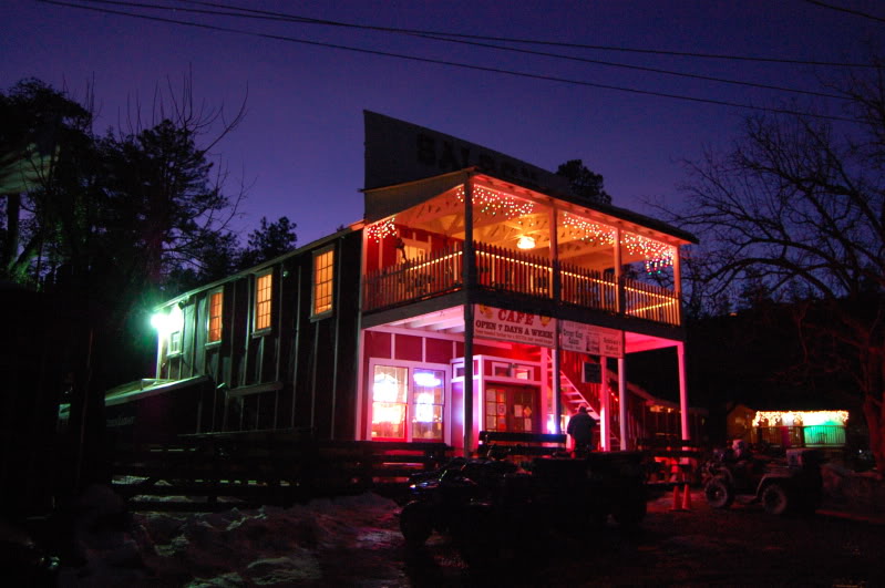
Crown King is an unincorporated community in Yavapai County, Arizona, United States, located at an elevation of 5,771 feet (1,759 m). Crown King has a ZIP Code of 86343; in 2000, the population of the 86343 ZCTA was 133. The site of a former gold mining town, Crown King is 28 miles west of Interstate 17 on Senator Highway, high in the Bradshaw Mountains. The community is named after the Crowned King mine, but the name was shortened to Crown King in 1888. Horsethief Basin Lake resides 6.5 miles southeast of Crown King on Crown King Rd/Forest 259 Rd. History An estimated US$2,000,000 in gold was taken from the Crowned King Mine alone; the mines have been closed since the 1950s and for the past half-century tourism has been the only reliable source of income in the area, despite the fact that the unpaved, mountainous access roads are rocky, rough and slow to drive. The first recorded gold claim in Crown King was "Buckeye" and was filed by Rod McKinnon on July 1, 187 ... [...More Info...] [...Related Items...] OR: [Wikipedia] [Google] [Baidu] |
Murphy's Impossible Railroad
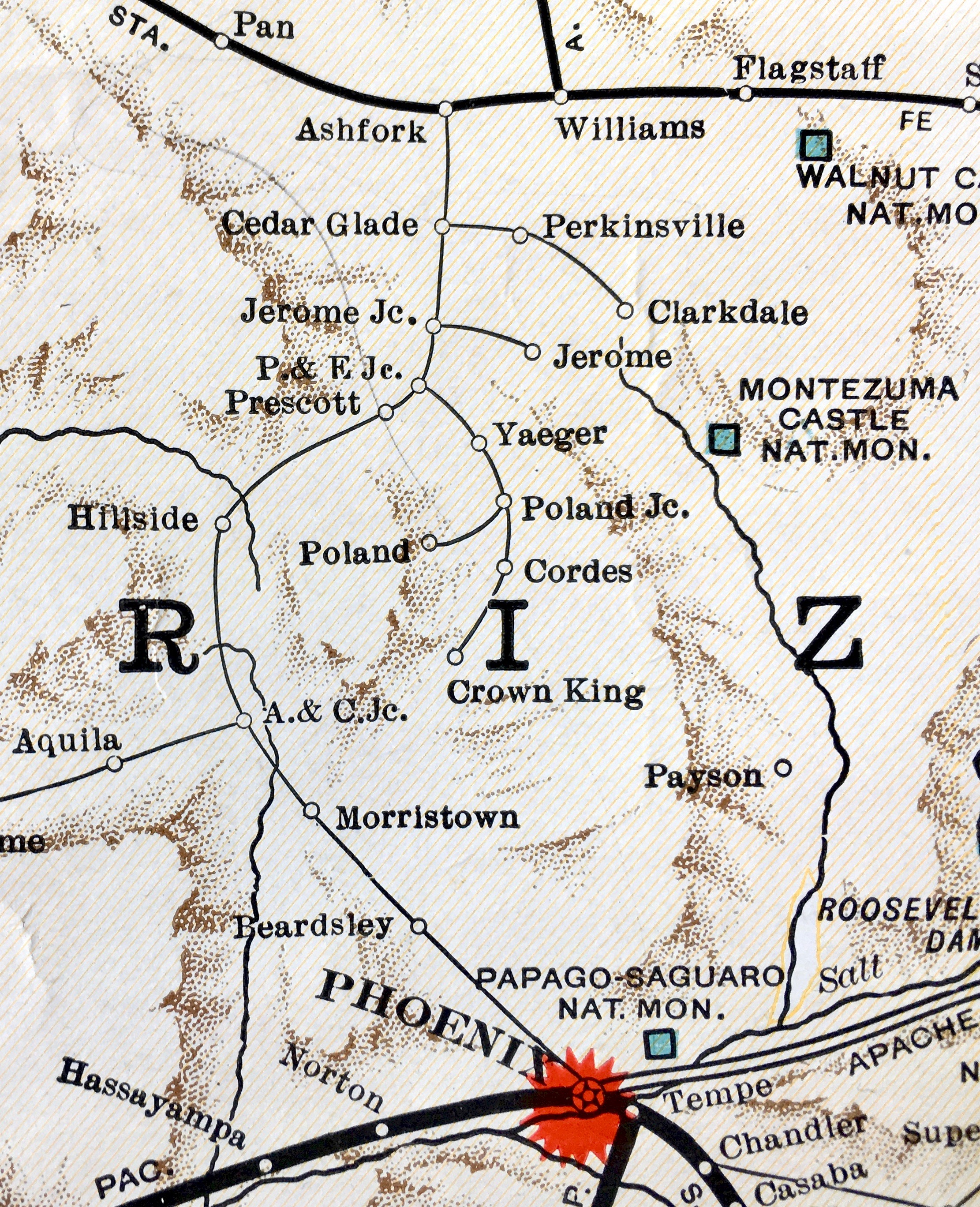
Completed in 1904, the Crown King Branch of the Bradshaw Mountain Railroad, also known as Murphy's Impossible Railroad, linked the town of Crown King with the end of the Prescott and Eastern Railroad at Mayer, Arizona. Frank Murphy began construction of the standard gauge A standard-gauge railway is a railway with a track gauge of . The standard gauge is also called Stephenson gauge (after George Stephenson), International gauge, UIC gauge, uniform gauge, normal gauge and European gauge in Europe, and SGR in Ea ... railway in 1895. Construction was completed in 1904 when it reached Crown King. The tracks were torn up in 1927, leaving what is now known as FR 259. The railroad got its name from the fact that Crown King is 2,000 feet higher than Mayer and the terrain between the two places is very steep. It's this fact that caused naysayers to believe that the two towns could not be linked by rail. In all, the railroad required five switchbacks, a tunnel and extremely high t ... [...More Info...] [...Related Items...] OR: [Wikipedia] [Google] [Baidu] |
Cleator, Arizona
Cleator (), formerly Turkey Creek or Turkey, is a near ghost town and small community in Yavapai County, Arizona, in the Southwestern United States. History Cleator was established two miles from the Turkey creek in 1864 as a placer gold mining site under the name Turkey Creek Mining District after gold was found. A post office was established at Turkey Creek in July 1869 but closed within a few months.Byrd H. Granger, (1970) ''Arizona Place Names'', pp. 338–339, Tucson, Arizona: University of Arizona Press, After gold ore was depleted by the end of the 19th century, mines were opened in the area. A railroad station had been established at the site, in the Bradshaw Mountains, along the Prescott and Eastern Railroad; in 1902 Murphy's Impossible Railroad (between the communities Cordes and Crown King) reached the town. Lev P. Nellis had already opened a town store and other amenities in 1901. The townsite of Turkey Creek became known as Cleator in 1925 after James P. Cleator, ... [...More Info...] [...Related Items...] OR: [Wikipedia] [Google] [Baidu] |
1875 Establishments In Arizona Territory
Events January–March * January 1 – The Midland Railway of England abolishes the Second Class passenger category, leaving First Class and Third Class. Other British railway companies follow Midland's lead during the rest of the year (Third Class is renamed Second Class in 1956). * January 5 – The Palais Garnier, one of the most famous opera houses in the world, is inaugurated in Paris. * January 12 – Guangxu Emperor, Guangxu becomes the 11th Qing Dynasty Emperor of China at the age of 3, in succession to his cousin. * January 14 – The newly proclaimed King Alfonso XII of Spain (Queen Isabella II's son) arrives in Spain to restore the monarchy during the Third Carlist War. * February 3 – Third Carlist War – Battle of Lácar: Carlist commander Torcuato Mendiri, Torcuato Mendíri secures a brilliant victory, when he surprises and routs a Government force under General Enrique Bargés at Lácar, east of Estella, nearly capturing newly cr ... [...More Info...] [...Related Items...] OR: [Wikipedia] [Google] [Baidu] |
Populated Places Established In 1875
Population typically refers to the number of people in a single area, whether it be a city or town, region, country, continent, or the world. Governments typically quantify the size of the resident population within their jurisdiction using a census, a process of collecting, analysing, compiling, and publishing data regarding a population. Perspectives of various disciplines Social sciences In sociology and population geography, population refers to a group of human beings with some predefined criterion in common, such as location, race, ethnicity, nationality, or religion. Demography is a social science which entails the statistical study of populations. Ecology In ecology, a population is a group of organisms of the same species who inhabit the same particular geographical area and are capable of interbreeding. The area of a sexual population is the area where inter-breeding is possible between any pair within the area and more probable than cross-breeding with in ... [...More Info...] [...Related Items...] OR: [Wikipedia] [Google] [Baidu] |
Unincorporated Communities In Yavapai County, Arizona
Unincorporated may refer to: * Unincorporated area, land not governed by a local municipality * Unincorporated entity, a type of organization * Unincorporated territories of the United States, territories under U.S. jurisdiction, to which Congress has determined that only select parts of the U.S. Constitution apply * Unincorporated association Unincorporated associations are one vehicle for people to cooperate towards a common goal. The range of possible unincorporated associations is nearly limitless, but typical examples are: :* An amateur football team who agree to hire a pitch onc ..., also known as voluntary association, groups organized to accomplish a purpose * ''Unincorporated'' (album), a 2001 album by Earl Harvin Trio {{disambig ... [...More Info...] [...Related Items...] OR: [Wikipedia] [Google] [Baidu] |
Western Regional Climate Center
The Western Regional Climate Center (WRCC) is a climate research center serving the Western United States. The WRCC is one of six regional centers administered by the National Oceanic and Atmospheric Administration and National Centers for Environmental Information, and partners with the Nevada-based Desert Research Institute. The WRCC was established in 1986 and is based in Reno, Nevada. See also *National Climatic Data Center The United States National Climatic Data Center (NCDC), previously known as the National Weather Records Center (NWRC), in Asheville, North Carolina, was the world's largest active archive of weather data. Starting as a tabulation unit in New Orl ... References External links * {{US-geo-stub National Oceanic and Atmospheric Administration Reno, Nevada 1986 establishments in Nevada ... [...More Info...] [...Related Items...] OR: [Wikipedia] [Google] [Baidu] |
National Oceanic And Atmospheric Administration
The National Oceanic and Atmospheric Administration (abbreviated as NOAA ) is an United States scientific and regulatory agency within the United States Department of Commerce that forecasts weather, monitors oceanic and atmospheric conditions, charts the seas, conducts deep sea exploration, and manages fishing and protection of marine mammals and endangered species in the U.S. exclusive economic zone. Purpose and function NOAA's specific roles include: * ''Supplying Environmental Information Products''. NOAA supplies to its customers and partners information pertaining to the state of the oceans and the atmosphere, such as weather warnings and forecasts via the National Weather Service. NOAA's information services extend as well to climate, ecosystems, and commerce. * ''Providing Environmental Stewardship Services''. NOAA is a steward of U.S. coastal and marine environments. In coordination with federal, state, local, tribal and international authorities, NOAA manages the ... [...More Info...] [...Related Items...] OR: [Wikipedia] [Google] [Baidu] |
North American Monsoon
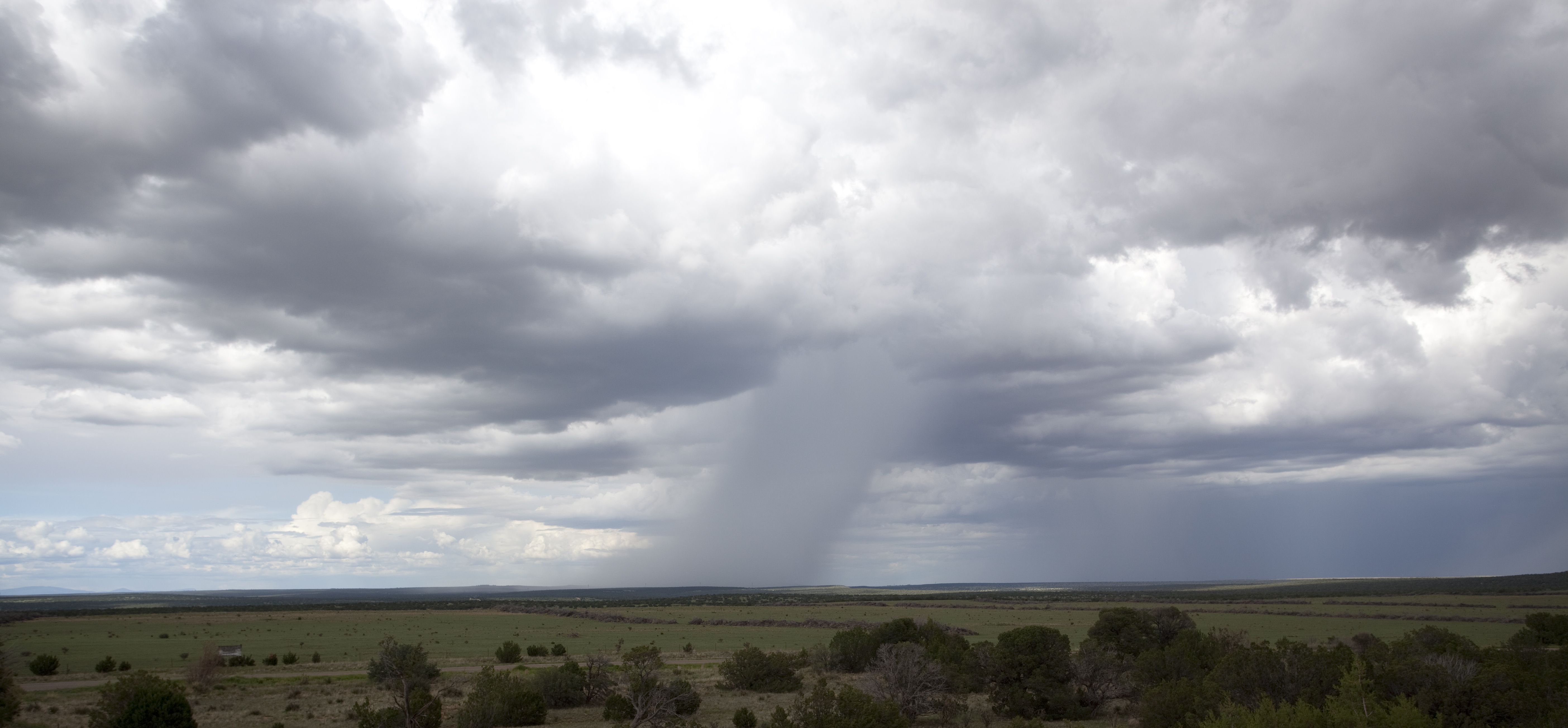
The North American monsoon, variously known as the Southwest monsoon, the Mexican monsoon, the New Mexican monsoon, or the Arizona monsoon is a pattern of pronounced increase in thunderstorms and rainfall over large areas of the southwestern United States and northwestern Mexico, typically occurring between June and mid-September. During the monsoon, thunderstorms are fueled by daytime heating and build up during the late afternoon and early evening. Typically, these storms dissipate by late night, and the next day starts out fair, with the cycle repeating daily. The monsoon typically loses its energy by mid-September when much drier conditions are reestablished over the region. Geographically, the North American monsoon precipitation region is centered over the Sierra Madre Occidental in the Mexican states of Sinaloa, Durango, Sonora and Chihuahua. Mechanism The North American monsoon is a complex weather process that brings moisture from the Gulf of California (and to le ... [...More Info...] [...Related Items...] OR: [Wikipedia] [Google] [Baidu] |
Mediterranean Climate
A Mediterranean climate (also called a dry summer temperate climate ''Cs'') is a temperate climate sub-type, generally characterized by warm, dry summers and mild, fairly wet winters; these weather conditions are typically experienced in the majority of Mediterranean-climate regions and countries, but remain highly dependent on proximity to the ocean, altitude and geographical location. This climate type's name is in reference to the coastal regions of the Mediterranean Sea within the Mediterranean Basin, where this climate type is most prevalent. The "original" Mediterranean zone is a massive area, its western region beginning with the Iberian Peninsula in southwestern Europe and coastal regions of northern Morocco, extending eastwards across southern Europe, the Balkans, and coastal Northern Africa, before reaching a dead-end at the Levant region's coastline. Mediterranean climate zones are typically located along the western coasts of landmasses, between roughly 30 and 45 ... [...More Info...] [...Related Items...] OR: [Wikipedia] [Google] [Baidu] |
Köppen Climate Classification
The Köppen climate classification is one of the most widely used climate classification systems. It was first published by German-Russian climatologist Wladimir Köppen (1846–1940) in 1884, with several later modifications by Köppen, notably in 1918 and 1936. Later, the climatologist Rudolf Geiger (1894–1981) introduced some changes to the classification system, which is thus sometimes called the Köppen–Geiger climate classification system. The Köppen climate classification divides climates into five main climate groups, with each group being divided based on seasonal precipitation and temperature patterns. The five main groups are ''A'' (tropical), ''B'' (arid), ''C'' (temperate), ''D'' (continental), and ''E'' (polar). Each group and subgroup is represented by a letter. All climates are assigned a main group (the first letter). All climates except for those in the ''E'' group are assigned a seasonal precipitation subgroup (the second letter). For example, ''Af'' indi ... [...More Info...] [...Related Items...] OR: [Wikipedia] [Google] [Baidu] |
Mayer, AZ
Mayer is a census-designated place (CDP) in Yavapai County, Arizona, United States. The population was 1,408 at the 2000 census. Mayer includes three sites listed on the National Register of Historic Places: Mayer Apartments, Mayer Business Block, and Mayer Red Brick Schoolhouse. History The place was originally called Wi:kidoʼyoʼ in Yavapai. From May to June 1942, 245 Japanese Americans were confined at the Mayer Assembly Center, one of 17 temporary detention camps built to hold Japanese Americans removed from the West Coast after the U.S. entered World War II. The 69 families were mostly from Maricopa County's Salt River Valley area, and lived in military-style barracks on the converted Civilian Conservation Corps camp for just under a month before being transferred to the more permanent and isolated internment camp at Poston, Arizona. 2017 wildfire The Goodwin Fire sparked on June 24, 2017, in the Bradshaw Mountains near the town of Mayer, which days later led to t ... [...More Info...] [...Related Items...] OR: [Wikipedia] [Google] [Baidu] |


